Trail Overview
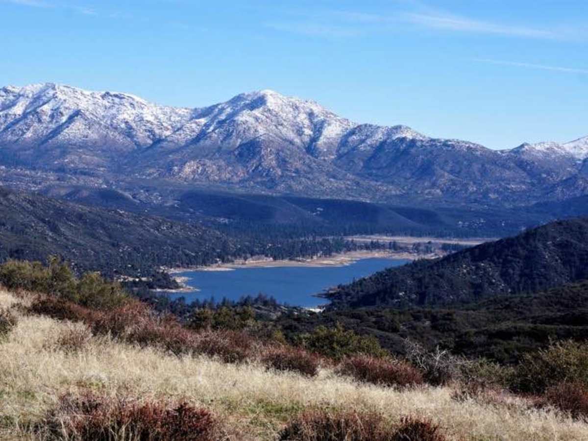
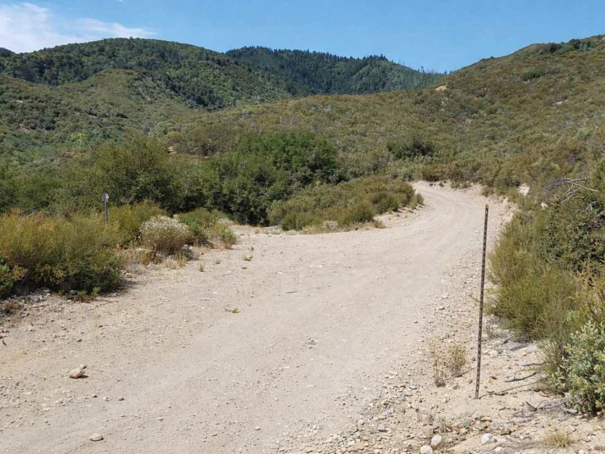
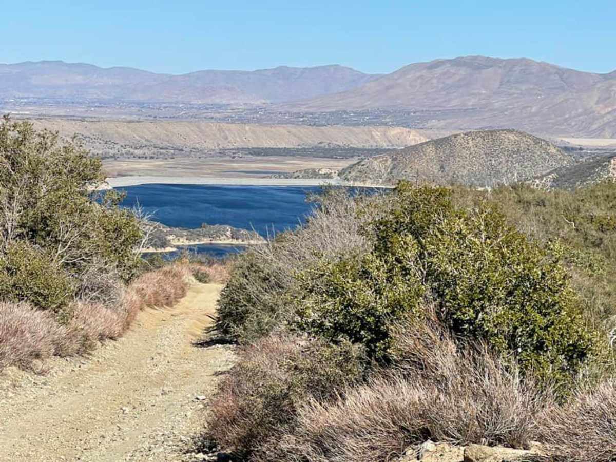
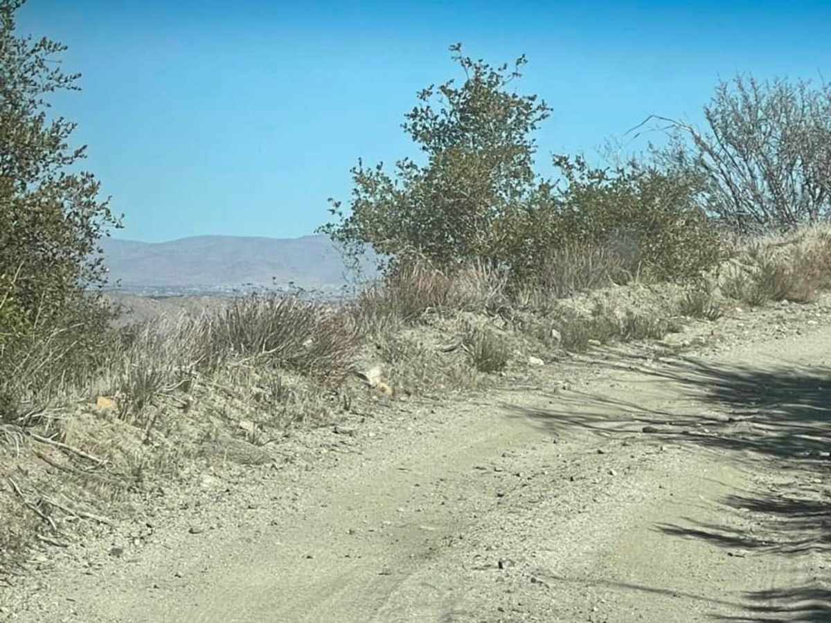
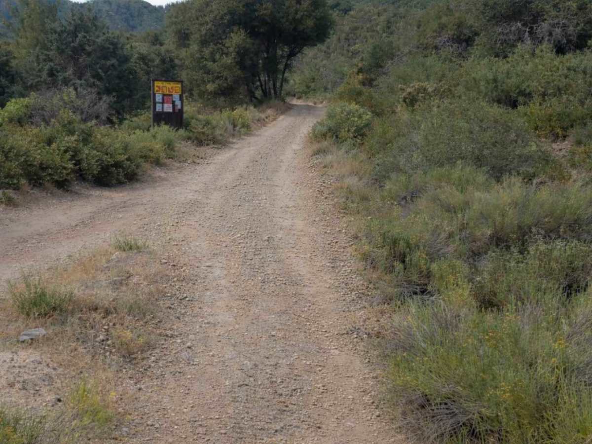
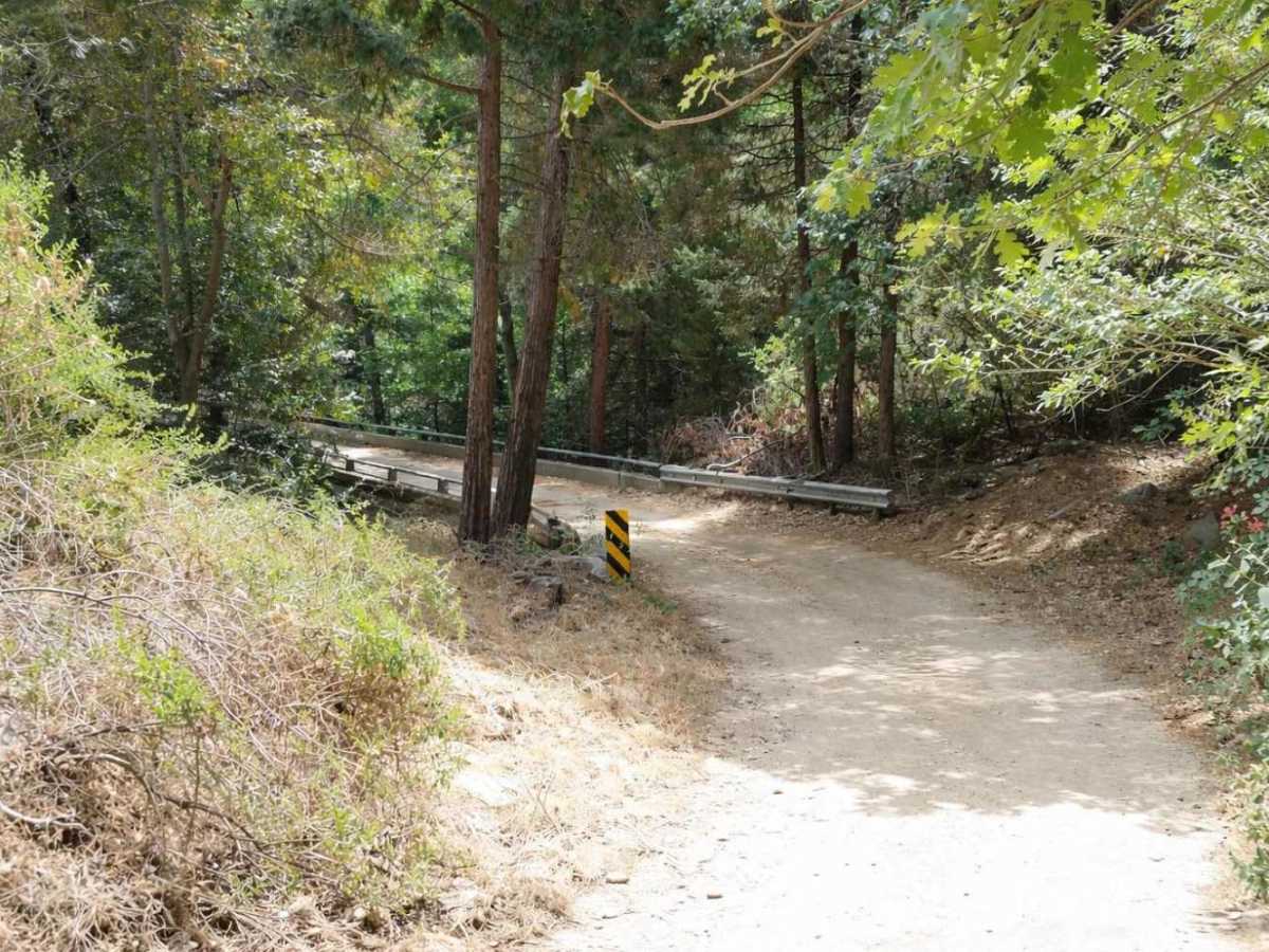
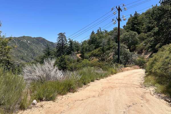
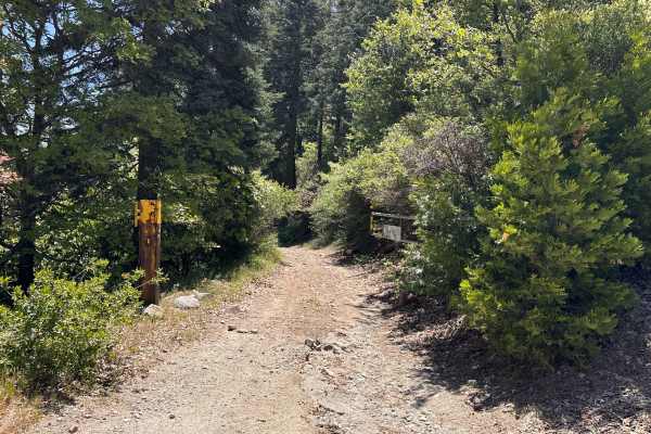
Rainbow Trail (FS 2N59) begins inside the Silverwood Lake State Park area, where pavement gives way to dirt as you transition from the park roads onto the Forest Service route. The west-to-east run starts out relatively smooth, with a decomposed granite base, light washboarding in spots, and scattered embedded rock. The road is typically single-lane but wide enough for full-size vehicles, with occasional pull-outs for passing. As you continue east, the trail winds through pine-covered terrain with gradual elevation changes, mild off-camber sections, and seasonal rain ruts. Surface conditions remain consistent—hard-packed dirt mixed with loose rock—without major technical obstacles under normal weather conditions. After storms, expect shallow erosion cuts and small cross-ruts. Near the east end of the route, you’ll cross Sawpit Creek Bridge, a clear landmark and helpful navigation reference. Shortly after the bridge crossing, the trail approaches its eastern terminus and transitions toward connecting forest roads. Rainbow (FS 2N59) is a solid choice for beginners, stock 4WD vehicles, and groups looking to build a longer Silverwood-area loop without committing to technical obstacles.
Difficulty
Rainbow Trail (FS 2N59) is rated a #1 (Easy) due to its maintained forest-road character and lack of technical obstacles. The route consists primarily of hard-packed dirt and decomposed granite with minor embedded rock, shallow ruts, and light seasonal washouts. Grades are mild, off-camber sections are minimal, and there are no ledges, rock gardens, or tight shelf-road exposure under normal conditions. Difficulty may increase slightly after heavy rain, but overall, this is a straightforward forest connector trail.
History
Rainbow Trail (2N59) is part of the historic network of Forest Service roads developed throughout the San Bernardino National Forest in the early to mid-20th century. Following the forest’s establishment in 1907, the United States Forest Service constructed graded dirt roads to support fire suppression, access timber and watershed areas, connect ranger stations, and reach remote canyons and creeks. The “2N” designation identifies a north-side forest road, typically built wide enough for utility trucks and fire apparatus. During the mid-20th century, and especially after the construction of Cedar Springs Dam and the creation of Silverwood Lake in the late 1960s, routes such as 2N59 began serving both administrative and recreational purposes. Increased regional traffic elevated its role as a connector for dispersed camping and vehicle access. Today, Rainbow Trail functions primarily as a recreational forest connector and fire access corridor shared by off-highway vehicles, four-wheel-drive vehicles, and administrative traffic. It remains largely non-technical due to its original design as a service road, with maintenance levels varying based on storm impacts and Forest Service funding cycles.