Trail Overview
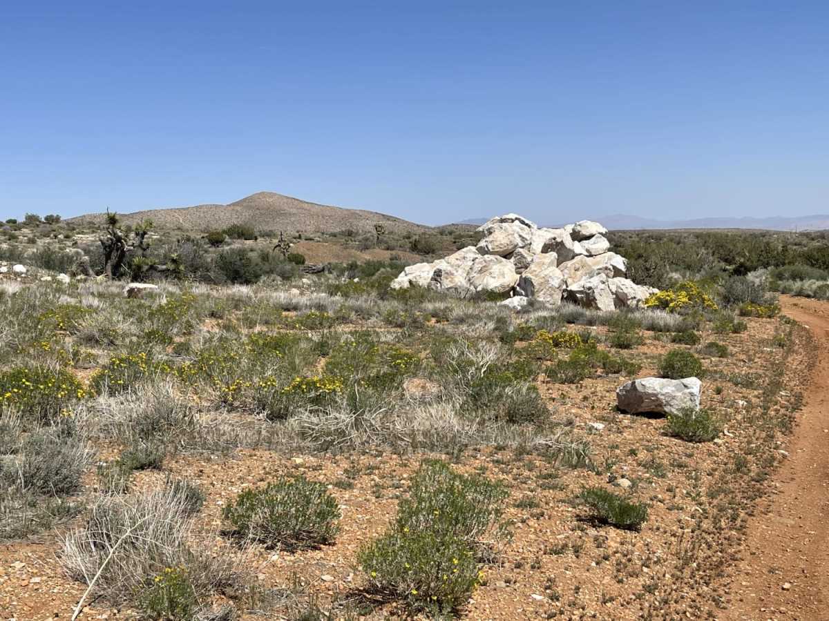
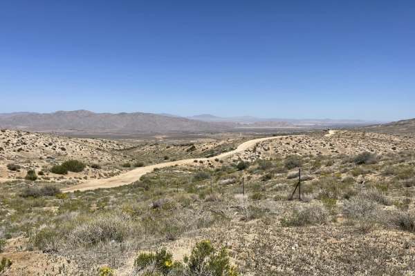
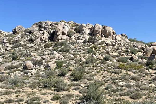
The "Shooting Range" Quarry is an easy, scenic 1.7-mile out-and-back trail in Juniper Flats that is ideal for novice offroaders looking for stunning mountain views and a quick backcountry escape. Branching off from Juniper Flats Road, this short route climbs gently through elevations between 4,334 and 4,570 feet, making it highly accessible. The trail surface consists primarily of dirt and sand with minor washouts and scattered rocks, requiring basic high-clearance four-wheel-drive vehicles, SxSs, or dirt bikes to navigate safely. There is ample room along most of the trail for oncoming vehicles to pass one another without difficulty.
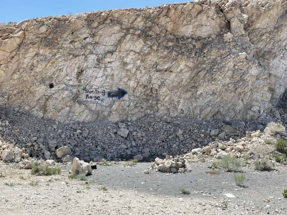
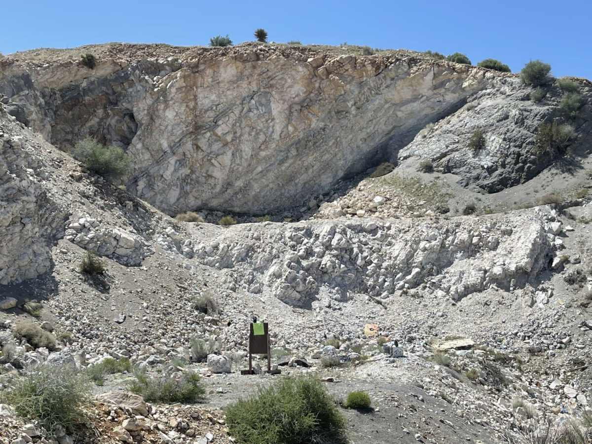
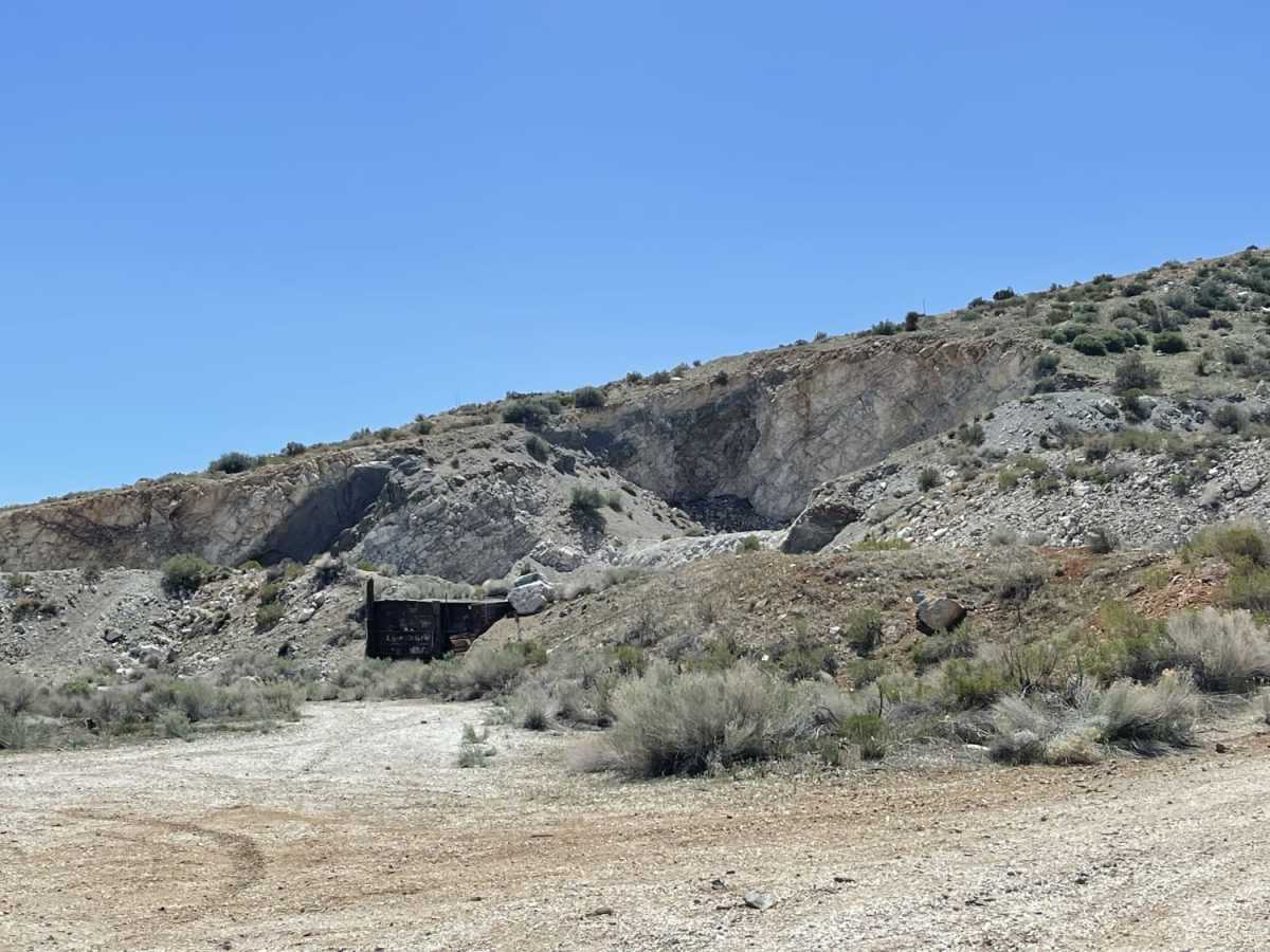
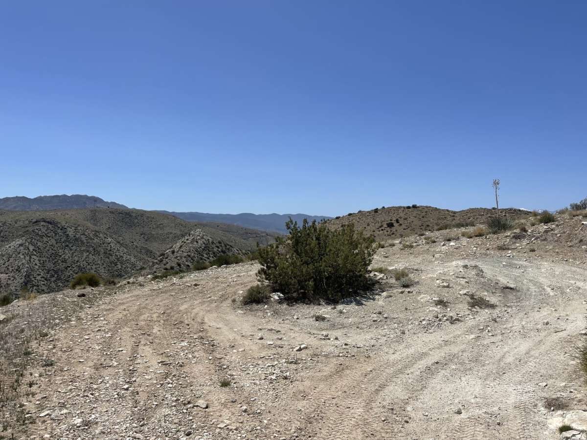
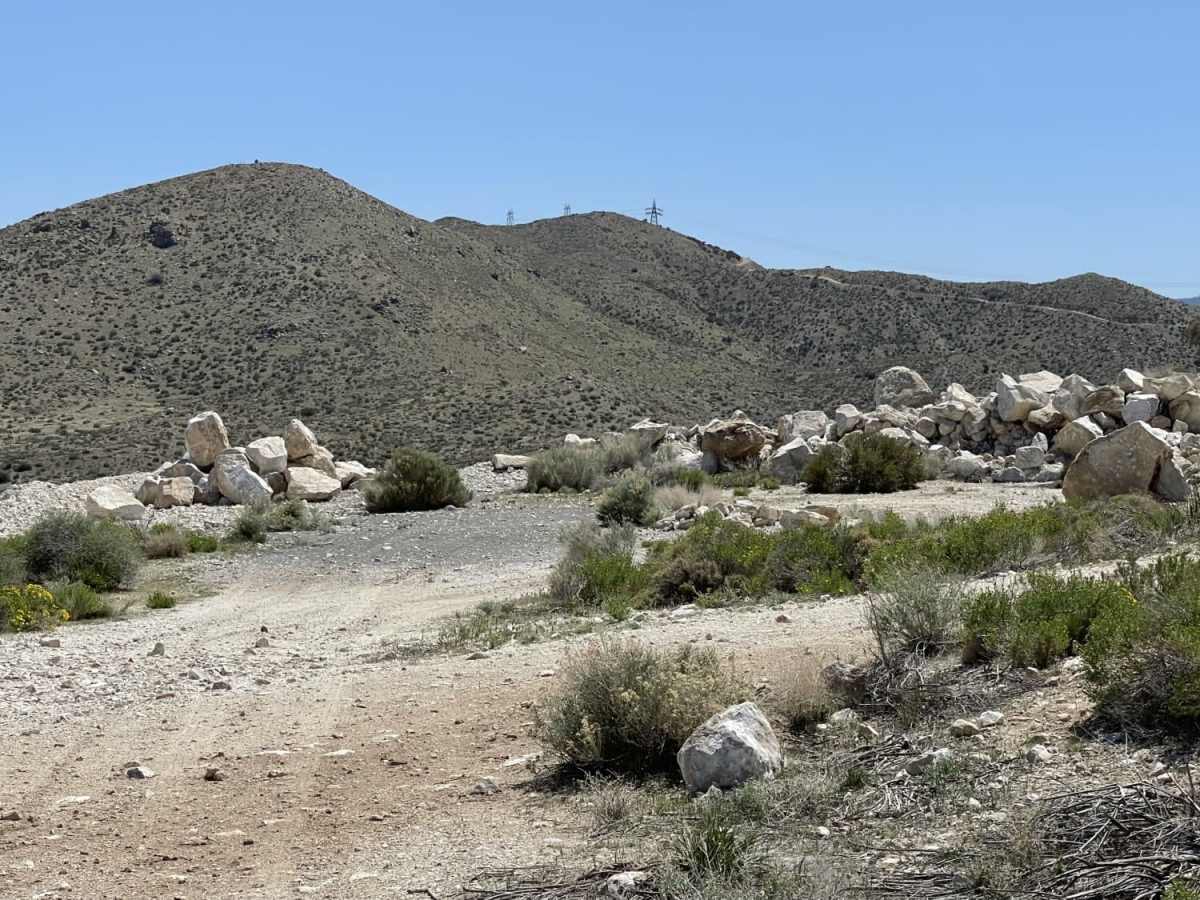
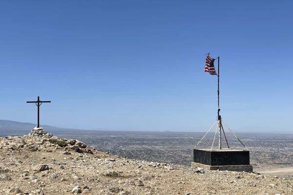
The route terminates at a convenient turnaround loop that offers exceptional views of the surrounding Juniper Flats area and distant mountain ranges. A short, optional spur trail branches off to an old abandoned mine site, which features flat clearings suitable for dispersed camping. This area also functions as an unofficial target shooting range, so visitors should remain alert and watch for broken glass and sharp debris on the ground that could puncture tires. Cellular coverage is minimal with only about one bar of LTE service, making offline map navigation essential before heading out.
History
Juniper Flats covers 101,272 acres of mixed public and private lands. Located between the Mojave Desert and the forests of the San Bernardino Mountains, Juniper Flats hosts a unique mixture of plants from both environments. Its streams and wetlands attract many kinds of wildlife. No less impressive are the beautiful views and varied landscape that make Juniper Flats a favorite recreation destination year-round.Visitors to Juniper Flats enjoy excellent recreation opportunities, including camping, hiking, backpacking, horseback riding, mountain biking, and hunting. Off-highway vehicle (OHV) touring is restricted to a designated route system (see numbered routes on map).Routes not marked as open are CLOSED to all motorized vehicles. "Technical" or cross-country (off-route) OHV activities are not allowed in Juniper Flats; please use the nearby El Mirage, Johnson Valley, or Stoddard Valley OHV areas. Juniper Flats is part of a public trail network that connects the San Bernardino National Forest with Victor Valley OHV areas to the northwest. Camping and PicnickingDispersed camping and parking are allowed in areas that show obvious signs of prior use and lack of vegetation cover, that is within 300 feet of a designated open route, and that are at least 200 yards from wildlife watering places. Camping in any one location is limited to 14 days. Please obtain permission before entering private land. Fire permits are required and may be restricted in the fire season (May - October). Fire danger is extreme during most of the year.
Access Description
The route is located within the Juniper Flats area, managed by the Bureau of Land Management (BLM). Off-highway vehicle travel is strictly restricted to designated open routes, and cross-country or off-route riding is prohibited. Dispersed camping is allowed within 300 feet of designated open routes on previously disturbed ground, provided campsites are at least 200 yards away from wildlife water sources. Campfires require a permit and may be prohibited or heavily restricted during the extreme fire season from May through October.