
Beginner Off-Road Trails
Near Lake Almanor Peninsula, California
Explore All Beginner Trails Near Lake Almanor Peninsula, California
Beginner Off-Road Trails Near Lake Almanor Peninsula, California
Discover the best beginner-friendly off-road trails near you. These easier, lower-rated trails are a great place to start — browse trail maps, check difficulty ratings, and find your next adventure.
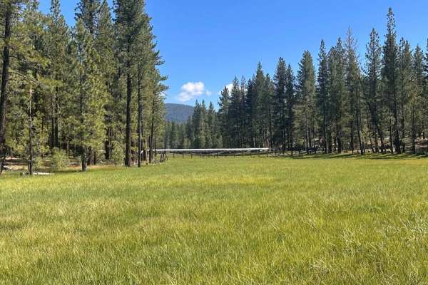
Gator's Flume Run
This is a great, easy-to-moderate trail during the summer that just about any capable 4WD vehicle can enjoy. The route crosses Goodrich Creek and the adjacent historic flume, offering beautiful scenery and several great spots to stop and take in the views.
Be aware that this trail is highly seasona...
Learn more about Gator's Flume Run
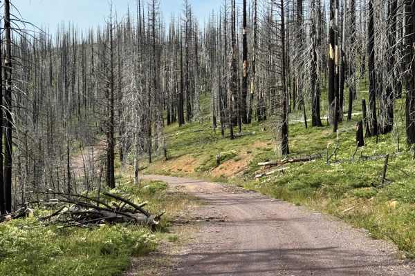
Coyote (Collins 500) - FS 28N36
This is mostly a gravel trail through a previously burned section of the forest. There's also a campground called Soldier Meadows Campground that was closed at the time of mapping the trail in early June. It's not clear if there's a time it will open. There's a nice creek that runs along a section o...
Learn more about Coyote (Collins 500) - FS 28N36
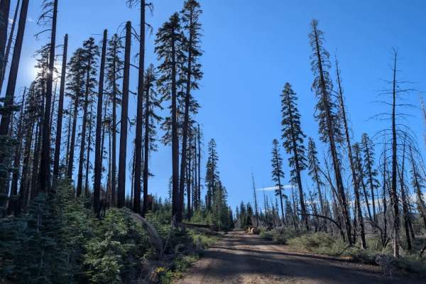
FS 30N12
This very well-maintained road branches off FS 30N32 and offers a beautiful forest drive through the Swain Mountain Experimental Forest. The route winds through a mix of open woodland and denser forest, with large boulders scattered among the trees. Although the road is generally in good condition, ...
Learn more about FS 30N12
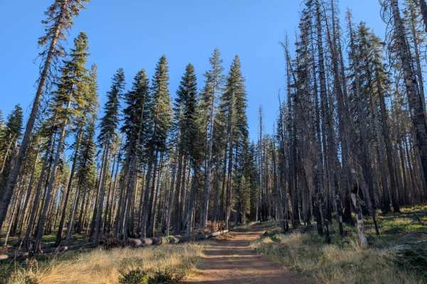
FS 30N32A
This beautiful, well-maintained trail climbs gradually through the forest, with a few rocky sections, but nothing particularly challenging. Much of the fallen tree debris appears to have been cleared recently in preparation for winter, leaving the route in good condition and making for a pleasant dr...
Learn more about FS 30N32A
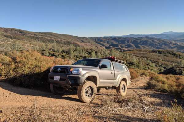
Willow Lake Road 29N14
Willow Lake Road (29N14) is a scenic 4.5-mile dirt and gravel route on the southern edge of Lassen National Forest. Winding through pine forest, the road climbs gradually from 5,012 feet to 5,500 feet, ending near Willow Lake. It is accessible to high-clearance and all-wheel-drive vehicles.
The fin...
Learn more about Willow Lake Road 29N14
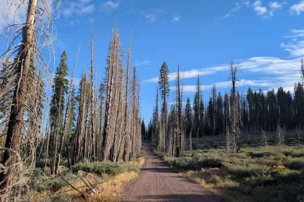
FS 30N77
This beautiful, well-maintained trail follows a mostly straight road with long stretches of gentle ups and downs. The surface consists of darker gravel and can be dusty, although not as dusty as the finer sandy roads in the area. A large fallen tree has been trimmed back to clear the road, but some ...
Learn more about FS 30N77
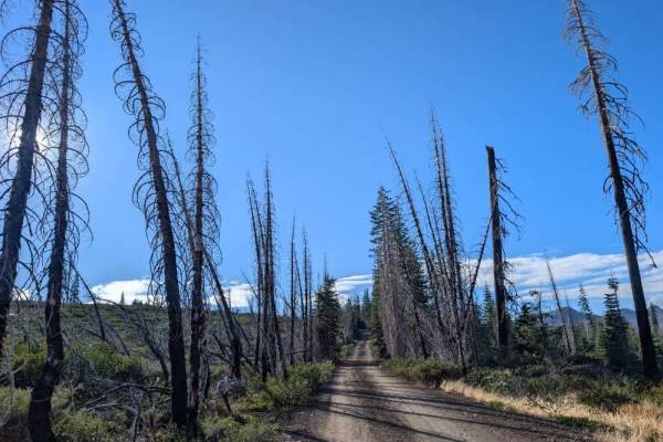
FS 30N32
This relatively well-maintained road winds into the mountains through the Swain Mountain Experimental Forest, offering a beautiful drive through the surrounding landscape. There are a couple of downed trees along the route, but they have been cleared, allowing vehicles to pass. The trail continues t...
Learn more about FS 30N32
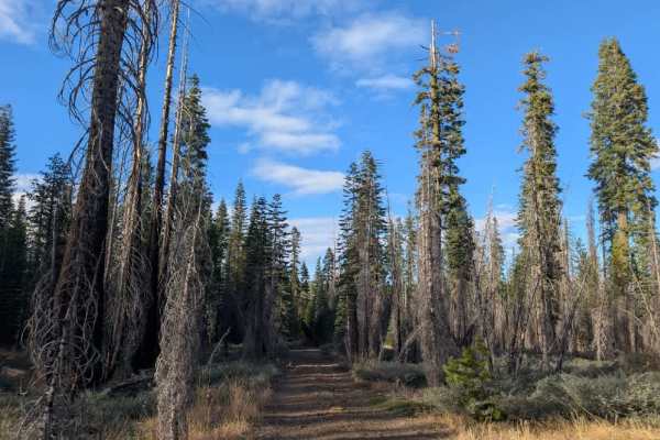
FS 30N33
This beautiful trail begins in a well-kept forest and initially appears to be a straightforward drive, with signs of regular vehicle use from the main road. However, conditions change considerably once you reach a downed tree. At this point, the road branches right, while the main trail continues st...
Learn more about FS 30N33
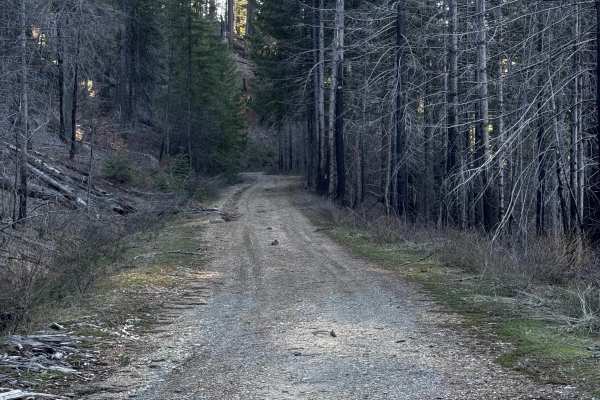
North Branch
Mainly a nice fire road with some small washes, unless you go early in the season. This trail rides the side of a ridge with good views occasionally, and it also has some spots to disperse camp. Could be slippery when wet since there is a lot of red clay.
Learn more about North Branch
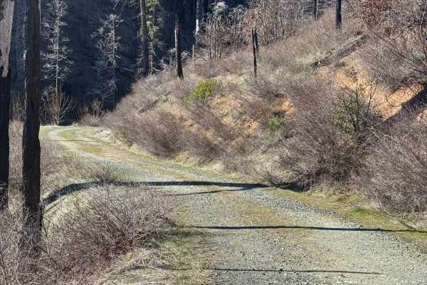
Oak Flat
Tight, windy trail that drops down into a small canyon. The original second half of the trail is washed away, so it now ends sooner, but it ends in a nice flat area to disperse camp next to a stream with small waterfalls. Sign of fire damage and some standing dead trees in the area so be cautious if...
Learn more about Oak Flat

Caribou
This trail takes you up the side of the canyon on multiple different shelf roads, ending in trees and a wider trail. It stops at Butt Valley Dam/Reservoir. Looks to have a road around it to go to other trails. Workers at the dam look like they share the trail, and depending on the time of year, have...
Learn more about Caribou

FS 30N48
This well-maintained trail winds through a lovely pine forest, with young pine saplings lining both sides of the road and adding new growth to the area. The route is generally smooth and easy to follow, making it a pleasant option for a relaxed drive through the trees. A couple of spur trails branch...
Learn more about FS 30N48
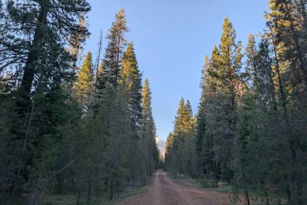
FS 31N42
This trail is generally well maintained at the beginning and toward the end, but the middle section requires considerably more care. Drivers will have to weave around numerous obstacles, including overhanging branches, hanging tree limbs, and other vegetation encroaching on the road. Some of these o...
Learn more about FS 31N42
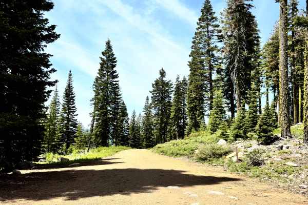
Deer Creek South - FS 28N49
This trail does go farther than it's mapped, but there was a very large tree that fell on the trail that looks like it's been there for a little bit, with the amount of dirt/ground that has grown around the sides of it. This is the eastern section of the trail. The trail did have some small washes a...
Learn more about Deer Creek South - FS 28N49

FS 30N46
This short but enjoyable trail winds through the forest before opening into a large clearing. Several spots along the way offer opportunities for dispersed camping, and the route eventually splits, with another trail leading to additional camping areas. There is some forest debris scattered througho...
Learn more about FS 30N46

FS 101
This well-maintained gravel road serves as a main connector between Westwood and Susanville, passing by McCoy Flat Reservoir along the way. The surface is generally in good condition, with a few side roads branching off for those looking to explore nearby routes. This drive provides a convenient way...
Learn more about FS 101
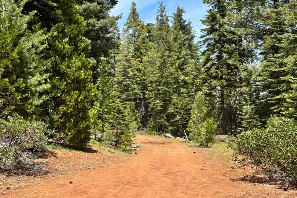
Deer Creek S - FS 28N12G
This is a dirt trail and isn't too long. There are no washes or ruts or any obstacles along this trail; it's pretty straightforward. Has a couple of cool views along the trail. There is a large camping area at the end of the trail that looks like a nice spot. Can fit multiple vehicles in it.
Learn more about Deer Creek S - FS 28N12G
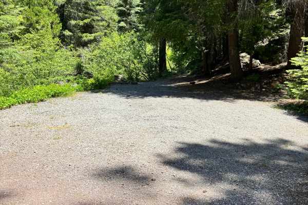
Elam Carter - FS 28N12
This is a long, mostly gravel trail. The first half of the trail is pretty flat and smooth; the second half has more wash/rut damage. There are multiple spots to pull off to camp along the trail, some spots being pretty big for multiple vehicles. The trail ends at a large area to camp as well.
Learn more about Elam Carter - FS 28N12

FS 30N06
This well-maintained gravel road is a pleasant route that connects back to the main road, with a few spur trails branching off along the way. The surface is generally in good condition, although you may encounter some corrugation in places. The trail runs alongside Hog Flat Reservoir, which is curre...
Learn more about FS 30N06
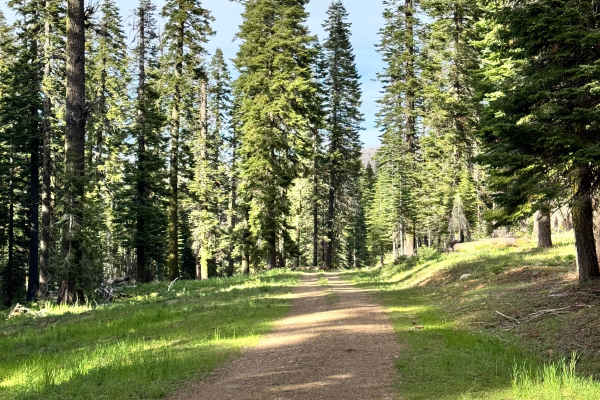
Eagle Rock - FS 27N59
This is a short trail with small washes and ruts along the way, but nothing extreme or technical. The trail is surrounded by dense green forest, so it's really pretty. There are some small areas along the trail to camp and a small area at the end that you could camp as well, but it may be difficult ...
Learn more about Eagle Rock - FS 27N59
Beginner ATV trails near Lake Almanor Peninsula, California
Explore ATV-friendly trails near you. These trails are accessible for vehicles up to 50 inches wide, perfect for ATVs and smaller off-road machines.
Gator's Flume Run
This is a great, easy-to-moderate trail during the summer that just about any capable 4WD vehicle can enjoy. The route crosses Goodrich Creek and the adjacent historic flume, offering beautiful scenery and several great spots to stop and take in the views.
Be aware that this trail is highly seasona...
Learn more about Gator's Flume Run
Coyote (Collins 500) - FS 28N36
This is mostly a gravel trail through a previously burned section of the forest. There's also a campground called Soldier Meadows Campground that was closed at the time of mapping the trail in early June. It's not clear if there's a time it will open. There's a nice creek that runs along a section o...
Learn more about Coyote (Collins 500) - FS 28N36
FS 30N12
This very well-maintained road branches off FS 30N32 and offers a beautiful forest drive through the Swain Mountain Experimental Forest. The route winds through a mix of open woodland and denser forest, with large boulders scattered among the trees. Although the road is generally in good condition, ...
Learn more about FS 30N12
Willow Lake Road 29N14
Willow Lake Road (29N14) is a scenic 4.5-mile dirt and gravel route on the southern edge of Lassen National Forest. Winding through pine forest, the road climbs gradually from 5,012 feet to 5,500 feet, ending near Willow Lake. It is accessible to high-clearance and all-wheel-drive vehicles.
The fin...
Learn more about Willow Lake Road 29N14
Beginner UTV/side-by-side trails near Lake Almanor Peninsula, California
Find UTV and side-by-side trails near you. These trails accommodate vehicles up to 60 inches wide, ideal for UTVs, side-by-sides, and wider off-road rigs.
Gator's Flume Run
This is a great, easy-to-moderate trail during the summer that just about any capable 4WD vehicle can enjoy. The route crosses Goodrich Creek and the adjacent historic flume, offering beautiful scenery and several great spots to stop and take in the views.
Be aware that this trail is highly seasona...
Learn more about Gator's Flume Run
Coyote (Collins 500) - FS 28N36
This is mostly a gravel trail through a previously burned section of the forest. There's also a campground called Soldier Meadows Campground that was closed at the time of mapping the trail in early June. It's not clear if there's a time it will open. There's a nice creek that runs along a section o...
Learn more about Coyote (Collins 500) - FS 28N36
FS 30N12
This very well-maintained road branches off FS 30N32 and offers a beautiful forest drive through the Swain Mountain Experimental Forest. The route winds through a mix of open woodland and denser forest, with large boulders scattered among the trees. Although the road is generally in good condition, ...
Learn more about FS 30N12
Willow Lake Road 29N14
Willow Lake Road (29N14) is a scenic 4.5-mile dirt and gravel route on the southern edge of Lassen National Forest. Winding through pine forest, the road climbs gradually from 5,012 feet to 5,500 feet, ending near Willow Lake. It is accessible to high-clearance and all-wheel-drive vehicles.
The fin...
Learn more about Willow Lake Road 29N14
The onX Offroad Difference
onX Offroad combines trail photos, descriptions, difficulty ratings, width restrictions, seasonality, and more in a user-friendly interface. Available on all devices, with offline access and full compatibility with CarPlay and Android Auto. Discover what you're missing today!
Open Trail Map