Trail Overview
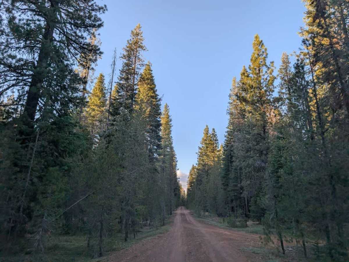
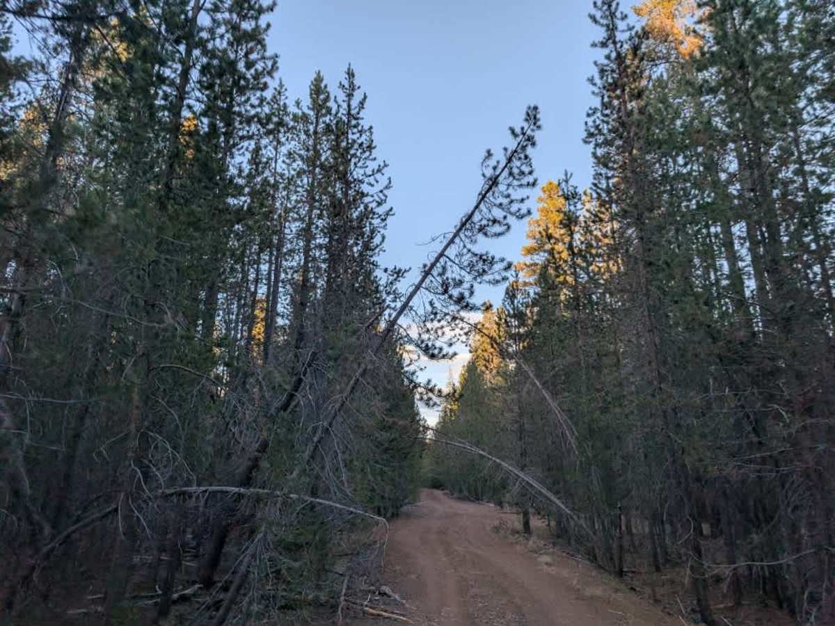
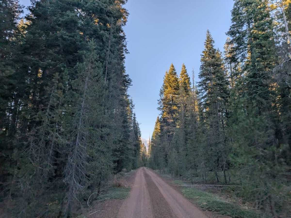
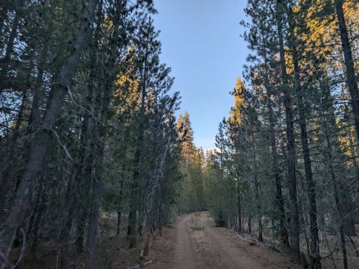
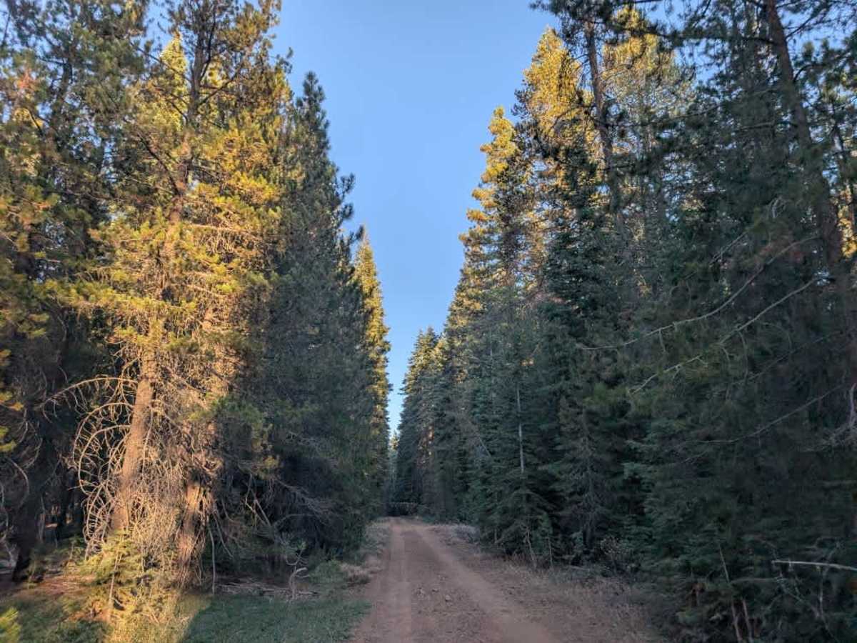
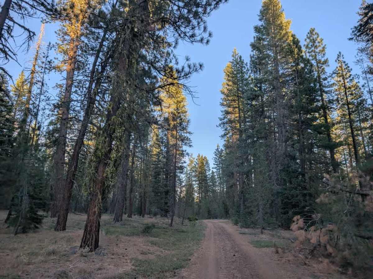
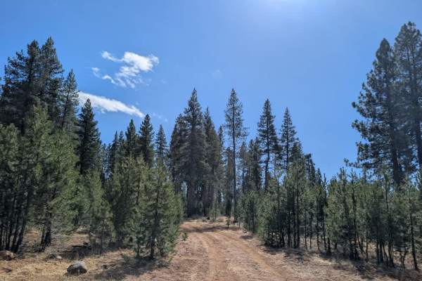
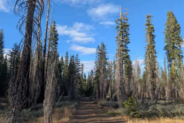
This trail is generally well maintained at the beginning and toward the end, but the middle section requires considerably more care. Drivers will have to weave around numerous obstacles, including overhanging branches, hanging tree limbs, and other vegetation encroaching on the road. Some of these obstacles can poke or scratch your vehicle or catch your mirrors, so pinstriping is inevitable, particularly for longer or wider vehicles. The route appears to have been cleared with smaller vehicles in mind, leaving little room for larger rigs to pass without contacting the surrounding vegetation. Several additional trails branch off the main route, though not all appear on the map, so pay attention to your navigation and don’t assume every branch is an established route. Be especially careful on land owned by Sierra Pacific Land and Timber Company, as access is permitted only where authorized. Respect all posted private property signs and do not enter restricted areas. ATVs, UTVs, Side-by-Sides, and Dirt Bikes must always have a valid California ATV Operating Permit sticker.