FS 30N33

Total Miles2
Technical Rating
2Easy
Best TimeSpring, Summer, Fall
Trail TypeFull-Width Road
Accessible By
Open Trail Map

Trail Overview

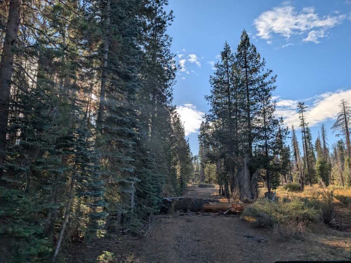
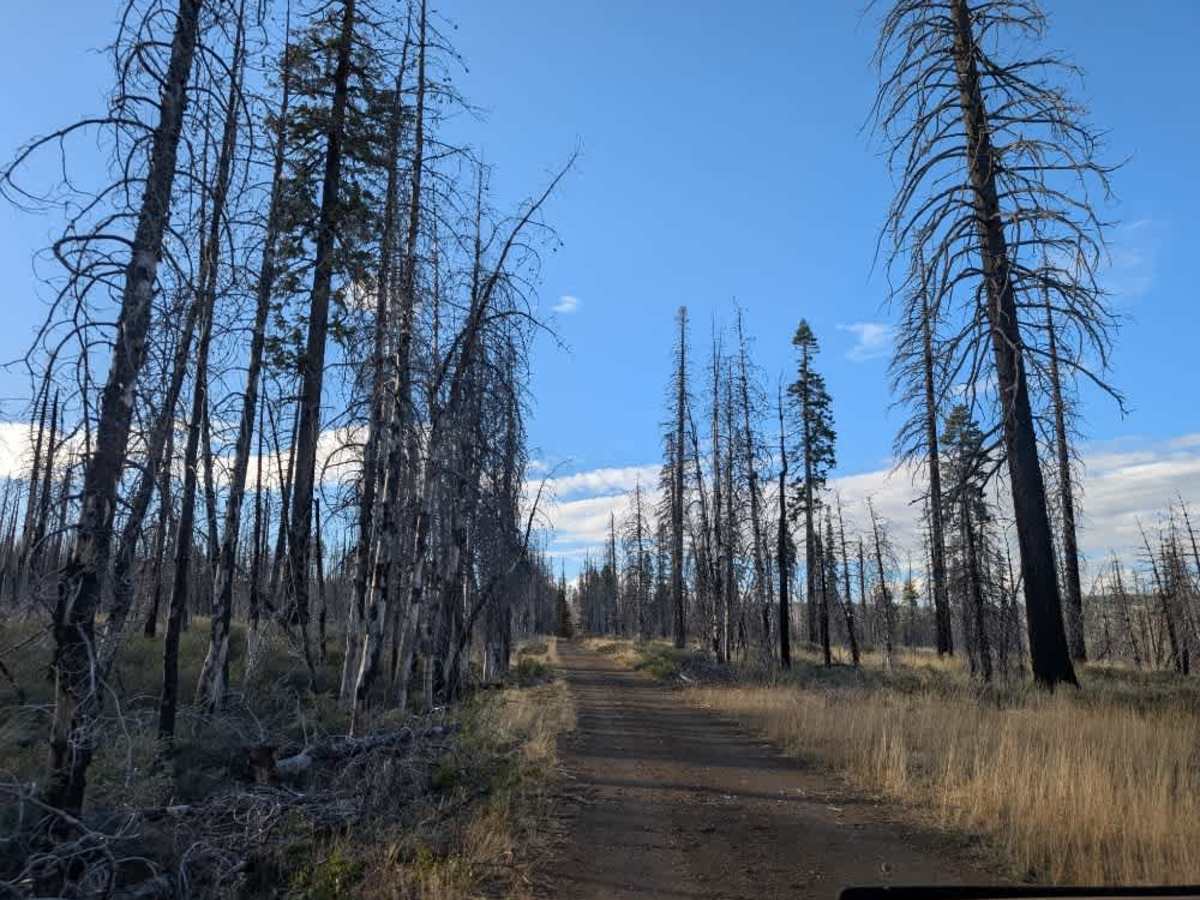
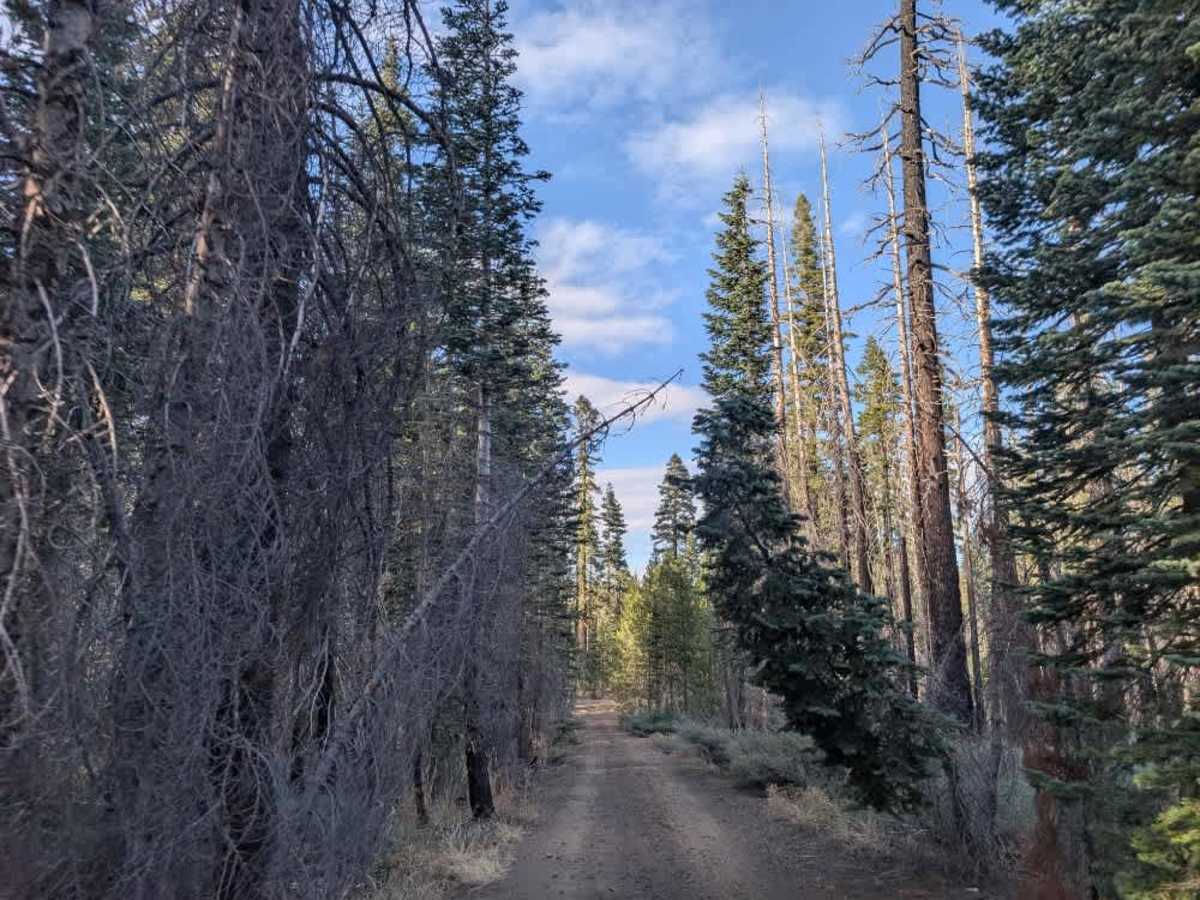
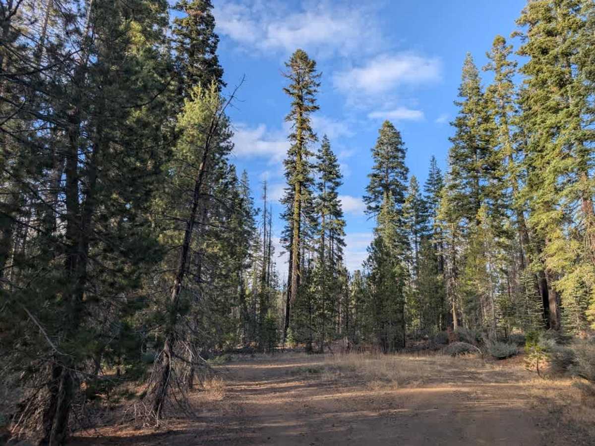
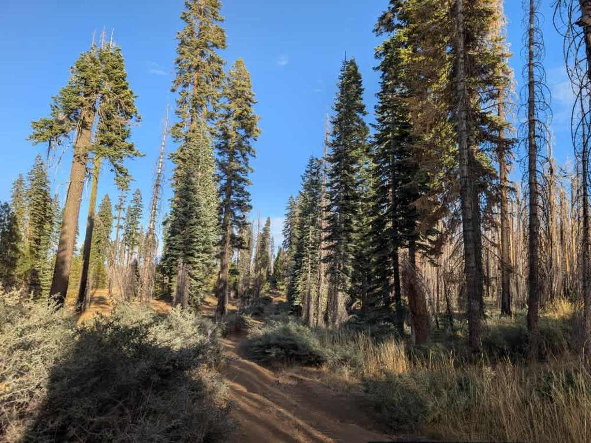
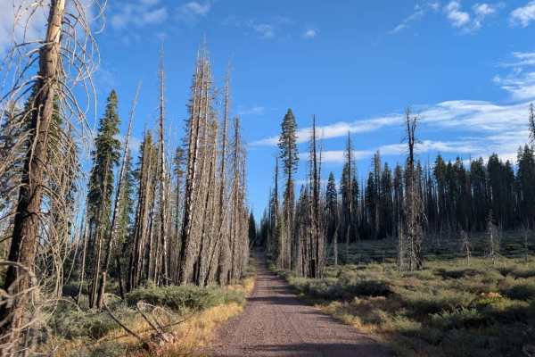
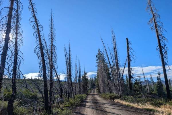
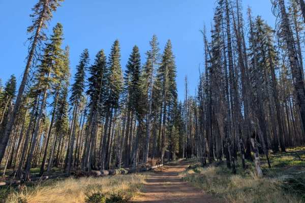
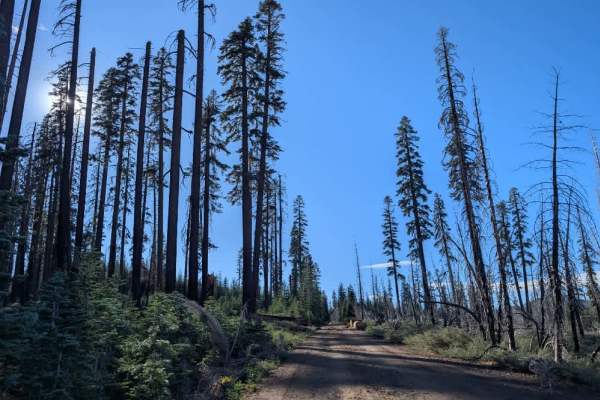
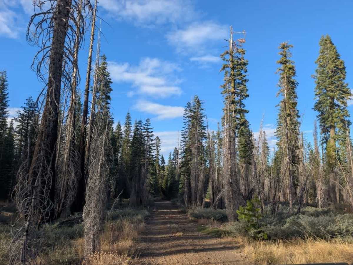
This beautiful trail begins in a well-kept forest and initially appears to be a straightforward drive, with signs of regular vehicle use from the main road. However, conditions change considerably once you reach a downed tree. At this point, the road branches right, while the main trail continues straight into a much narrower, more challenging section. Part of the road has washed away, leaving an extremely tight passage that narrows to around 50 inches or less in places. Heavy pinstriping is unavoidable, and several fallen trees and protruding logs encroach on the route, requiring careful navigation around the remaining debris. High clearance is essential, and this section suits ATVs and Side-by-Sides better than full-size vehicles; it is not recommended for everyday passenger vehicles. After this difficult stretch, the trail becomes more manageable again, though some narrow vegetation and pinstriping remain. At the end, you’ll find a gorgeous, spacious clearing with a great dispersed camping spot. ATVs, UTVs, Side-by-Sides, and Dirt Bikes must always have a valid California ATV Operating Permit sticker.

Photos of FS 30N33

Difficulty

The trail becomes extremely narrow after a washout, requiring high clearance and careful navigation around fallen trees and logs.

Technical Rating

2

FS 30N33 Trail can be accessed by the following ride types:

  • Single Track
  • 50 Inch
  • 60 Inch
  • High Clearance
  • Full Width

FS 30N33 Map

The onX Offroad Difference

onX Offroad combines trail photos, descriptions, difficulty ratings, width restrictions, seasonality, and more in a user-friendly interface. Available on all devices, with offline access and full compatibility with CarPlay and Android Auto. Discover what you're missing today!

Open Trail Map