FS 31N34

Total Miles2.7
Technical Rating
1Easy
Best TimeSpring, Summer, Fall
Trail TypeFull-Width Road
Accessible By
Open Trail Map

Trail Overview

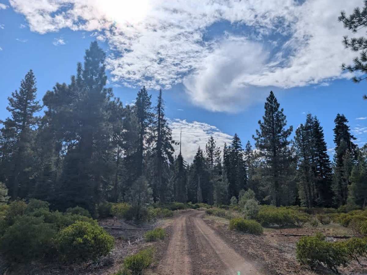
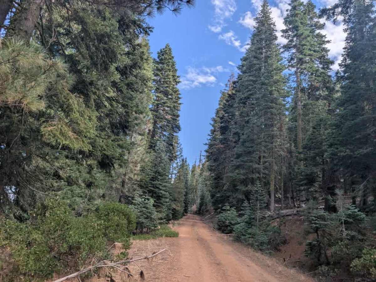
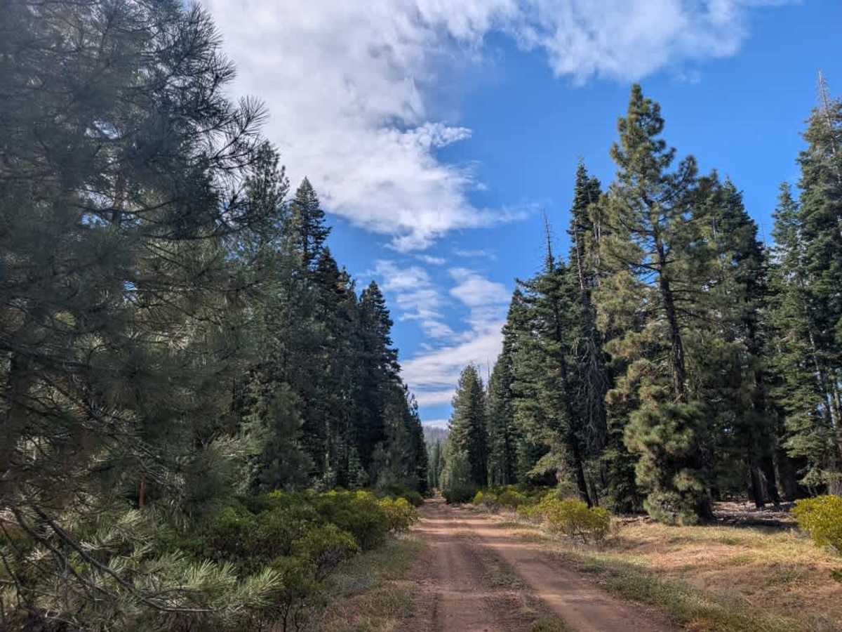
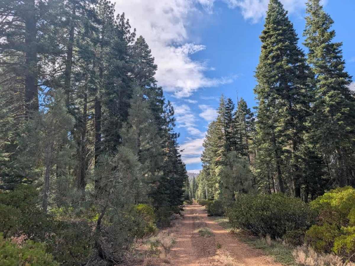
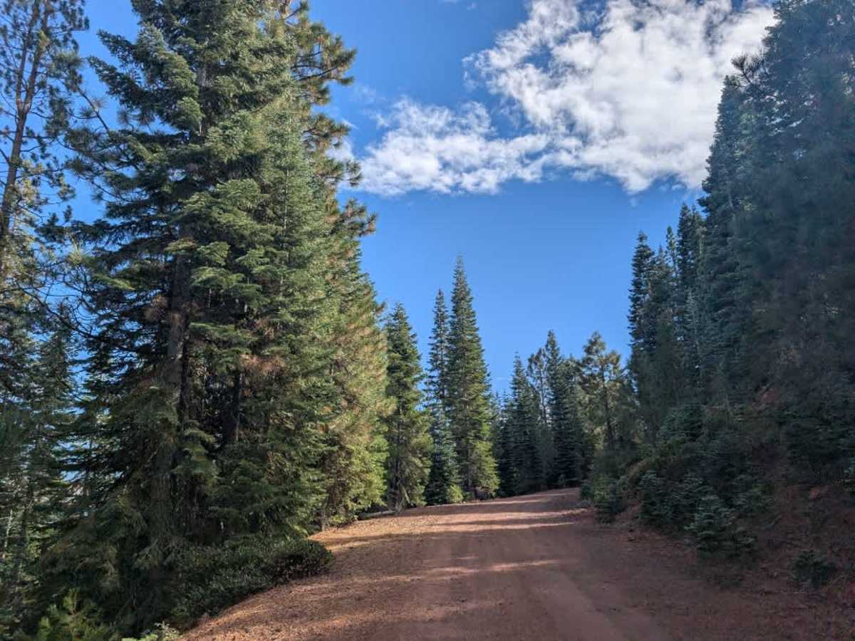
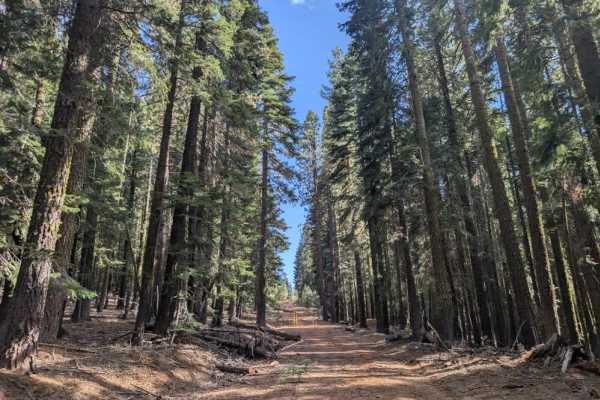
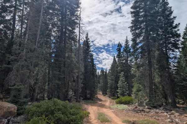
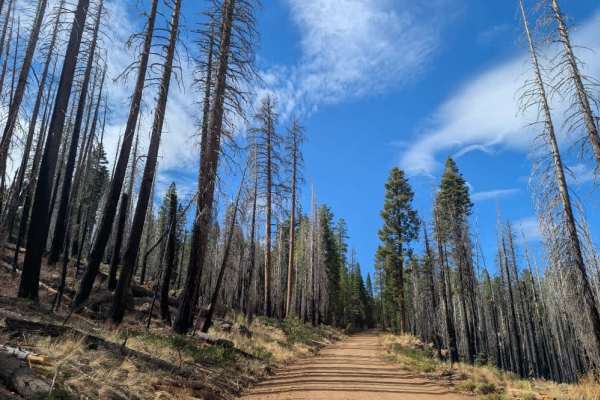
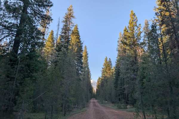
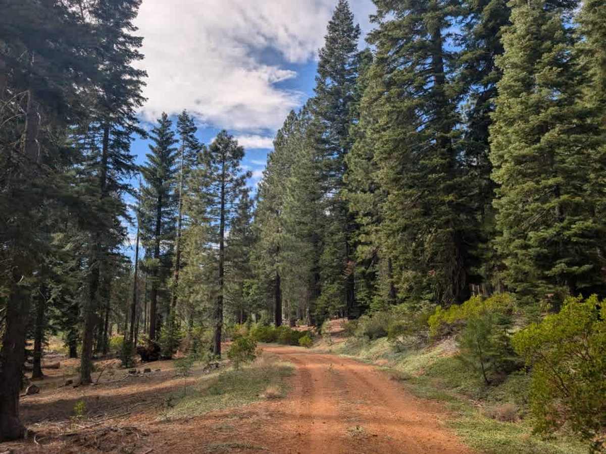
This lovely, well-maintained road begins with a smooth, easy drive before gradually becoming rockier as it winds up the mountain. Watch for hidden rocks embedded in the trail, especially as the terrain changes along the climb. The route forms a beautiful loop around the mountain, offering great views of the valley and access to numerous side trails. The area is also home to abundant birdlife, including hawks, so keep an eye out for them along the route. It’s a peaceful place to stop, quietly observe the birds, and take in the views. Please note that much of the surrounding land belongs to Sierra Pacific Land and Timber Company, so stay within permitted forest land and avoid private property. Before heading out, check the company’s website for current access information, closures, and permitted areas, and respect all posted property boundaries. ATVs, UTVs, Side-by-Sides, and Dirt Bikes must always have a valid California ATV Operating Permit sticker.

Photos of FS 31N34

Difficulty

The road starts smooth but becomes rockier as it climbs, with hidden rocks requiring attention.

Technical Rating

1

FS 31N34 Trail can be accessed by the following ride types:

  • Single Track
  • 50 Inch
  • 60 Inch
  • High Clearance
  • Full Width

FS 31N34 Map

The onX Offroad Difference

onX Offroad combines trail photos, descriptions, difficulty ratings, width restrictions, seasonality, and more in a user-friendly interface. Available on all devices, with offline access and full compatibility with CarPlay and Android Auto. Discover what you're missing today!

Open Trail Map