Trail Overview
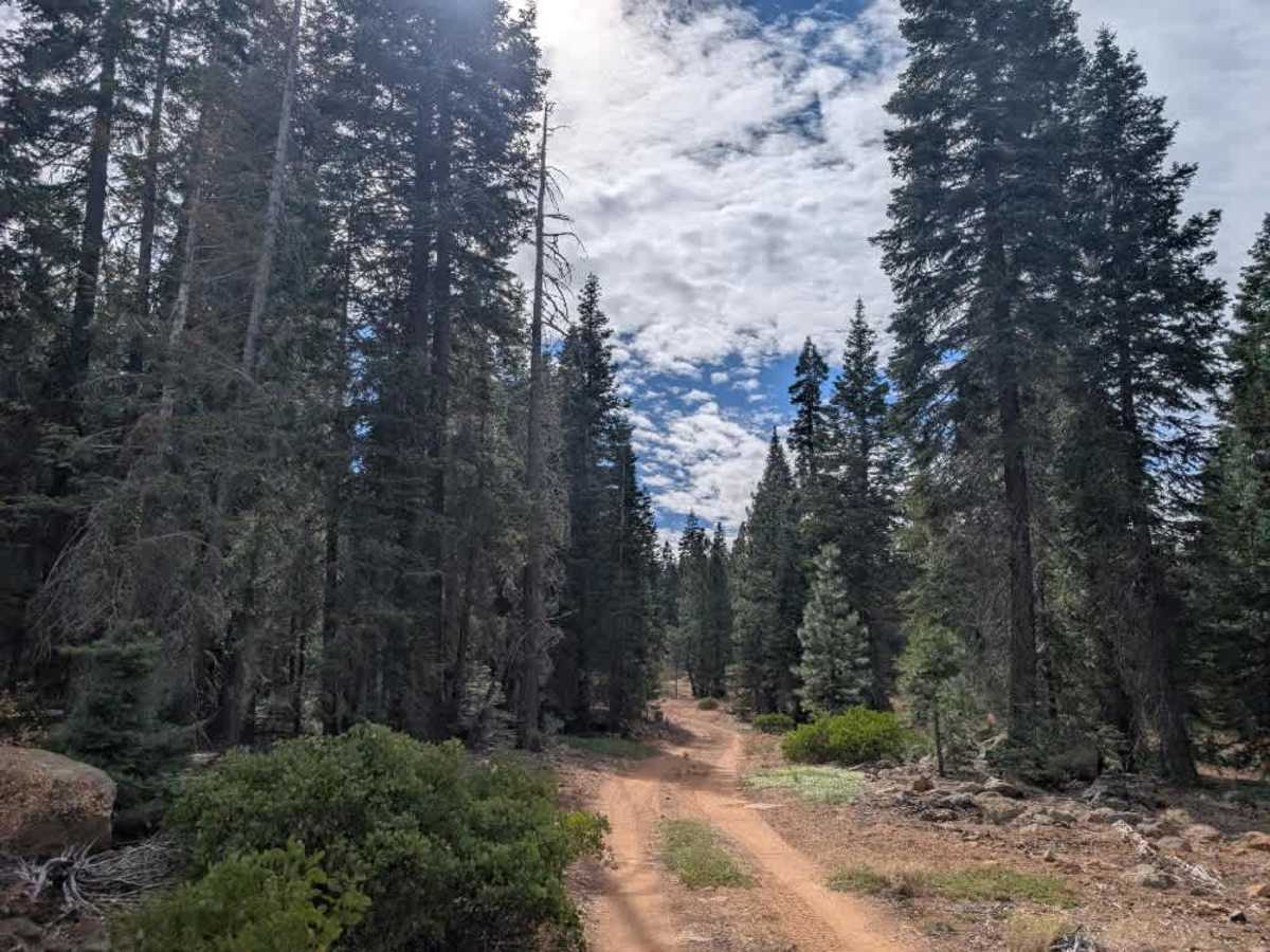
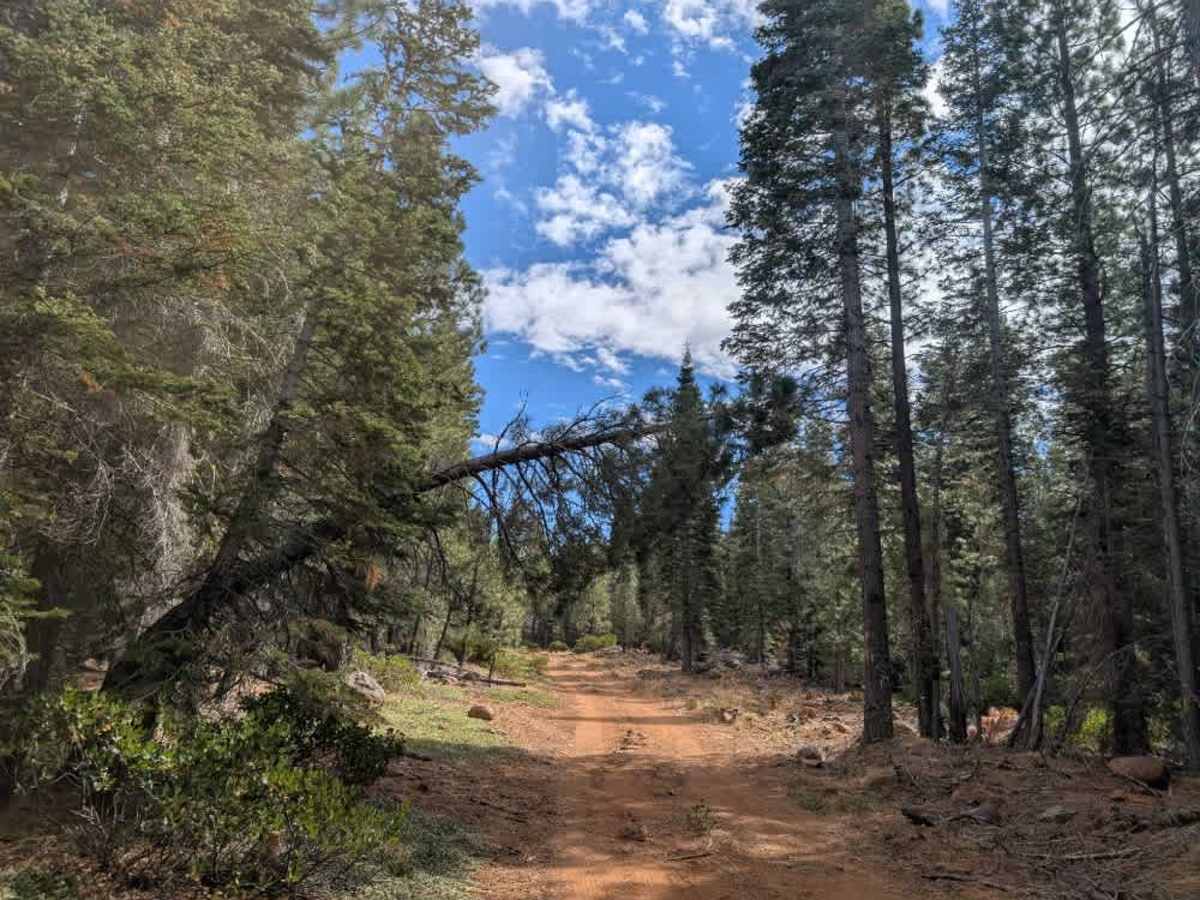
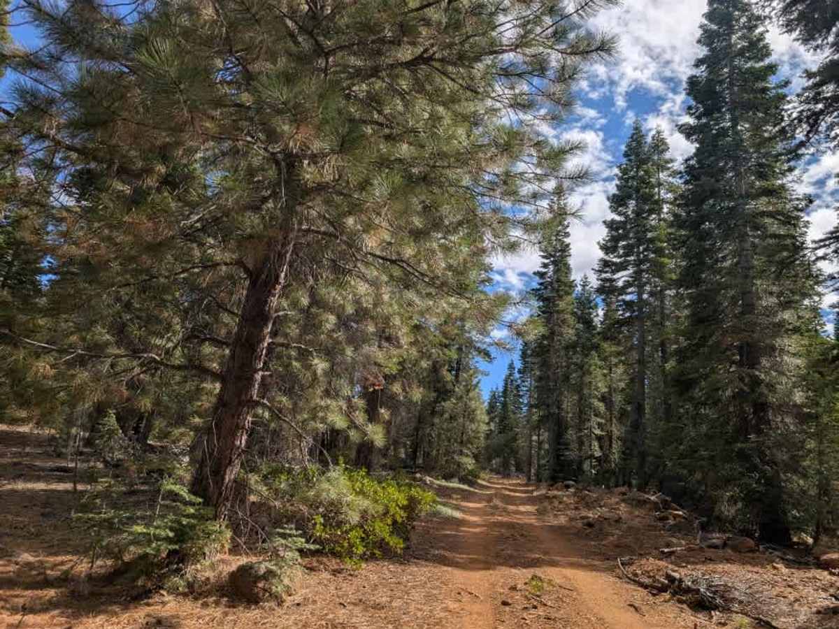
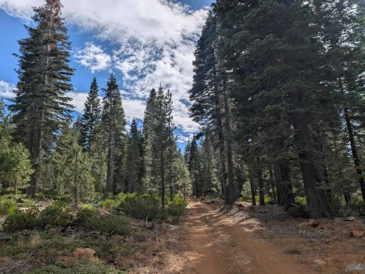
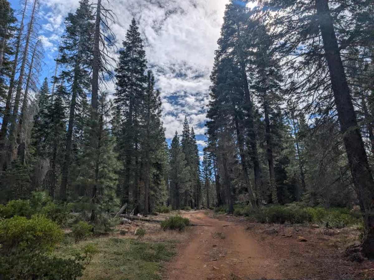
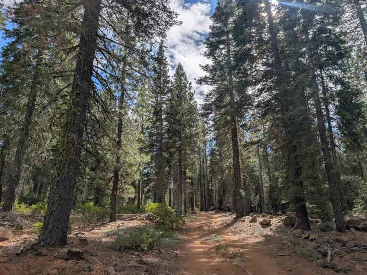
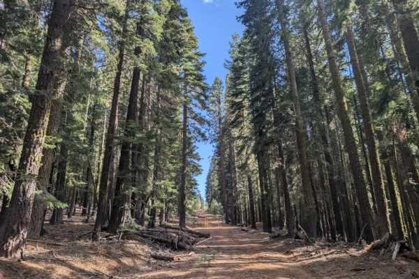
This short but exciting trail branches off FS 31N26 and leads to several dispersed camping spots, with a few smaller side trails that offer opportunities to explore the area by ATV or SxS. The main challenge comes almost immediately after leaving FS 31N26, where two large, steep mounds create significant clearance obstacles. Vehicles without sufficient ground clearance and suspension travel are likely to bottom out when crossing them, so take care on your approach; high clearance is essential, and this trail is not suitable for low-clearance vehicles. Once you’ve cleared these two obstacles, the remainder of the trail is relatively straightforward to navigate. ATVs, UTVs, Side-by-Sides, and Dirt Bikes must always have a valid California ATV Operating Permit sticker.
Difficulty
Two large, steep mounds near the start require high clearance, but the rest of the trail is relatively easy.