FS 31N90

Total Miles1.5
Technical Rating
1Easy
Best TimeSpring, Fall, Summer
Trail TypeFull-Width Road
Accessible By
Open Trail Map

Trail Overview

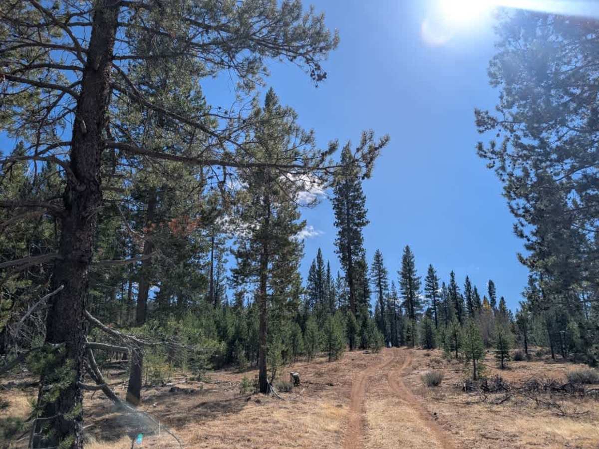
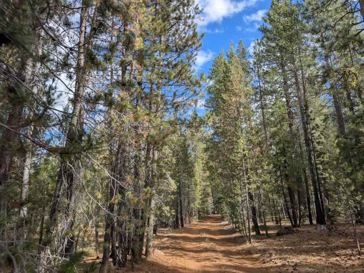
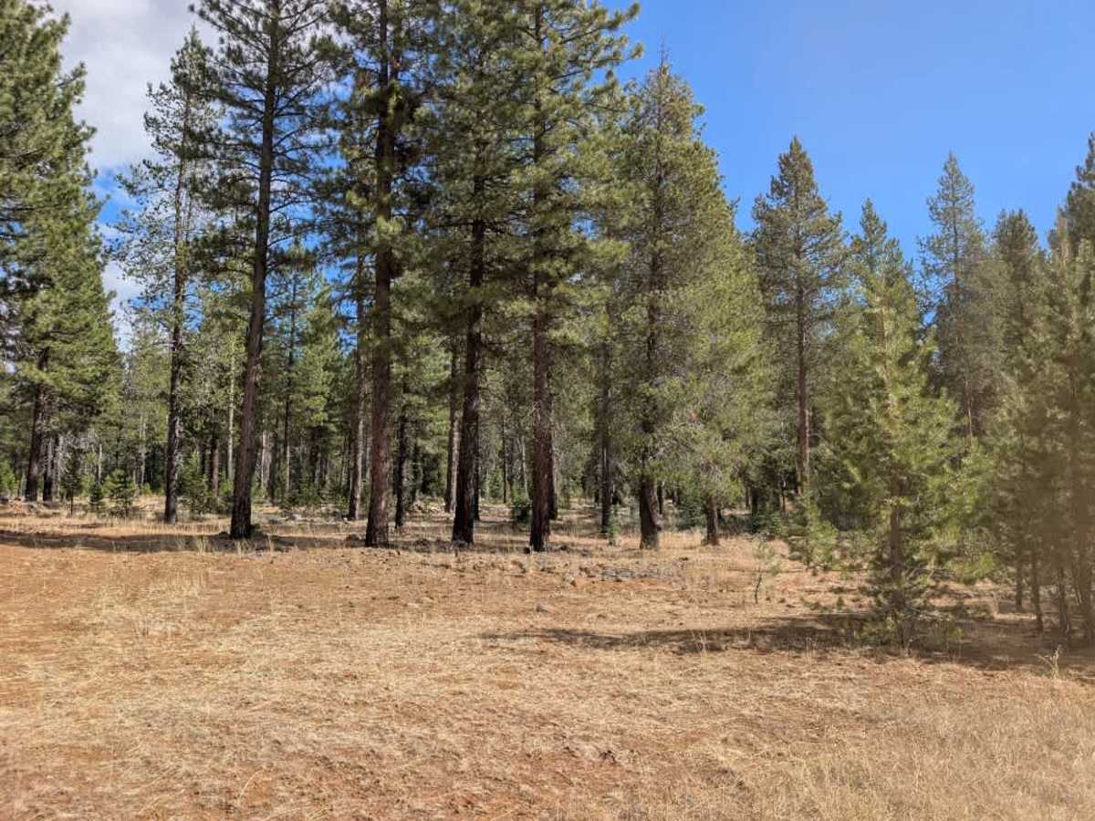
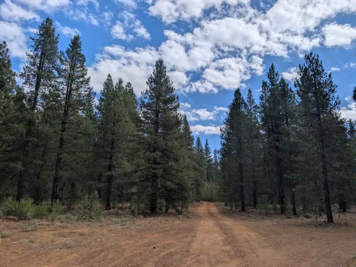
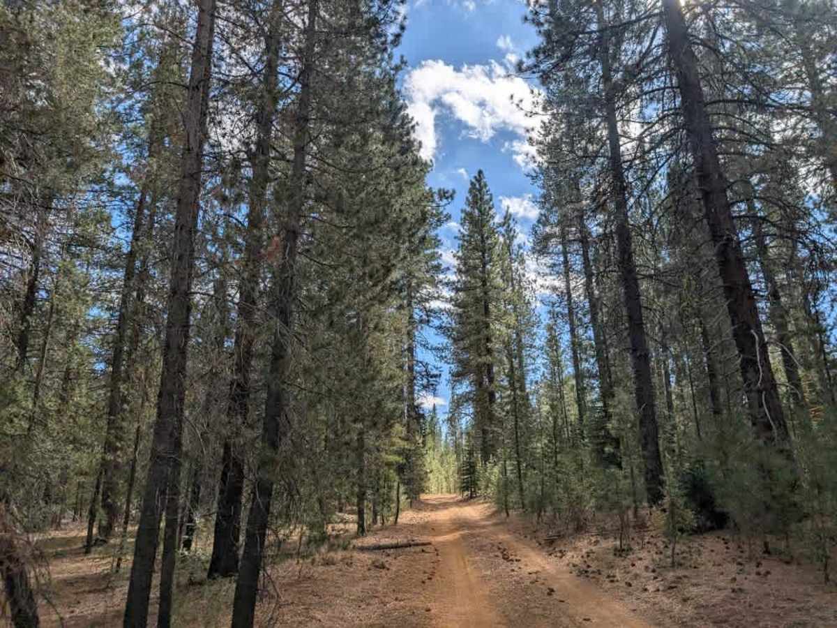
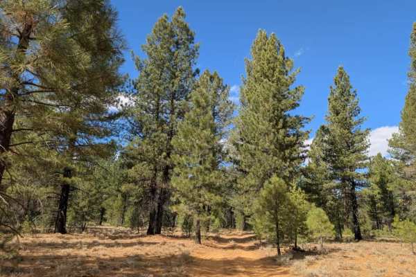
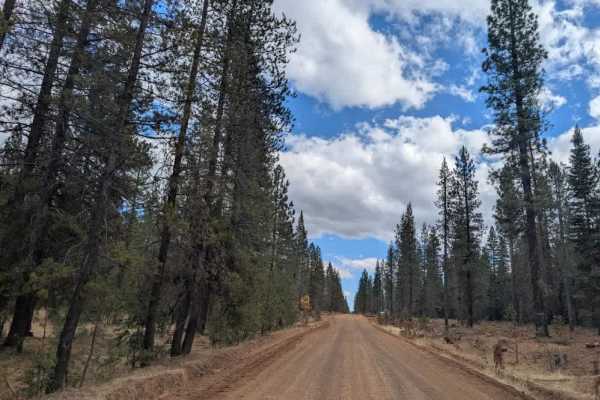
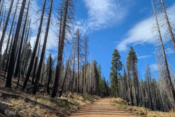
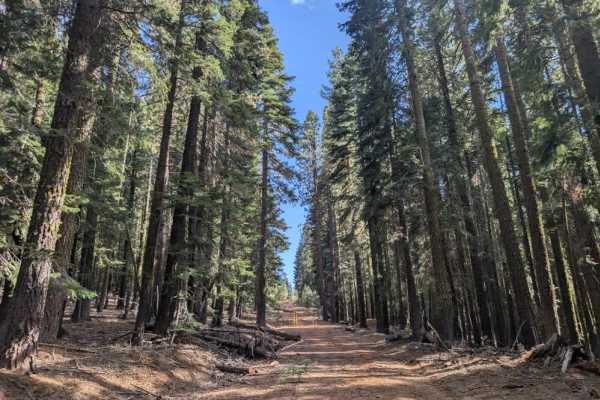
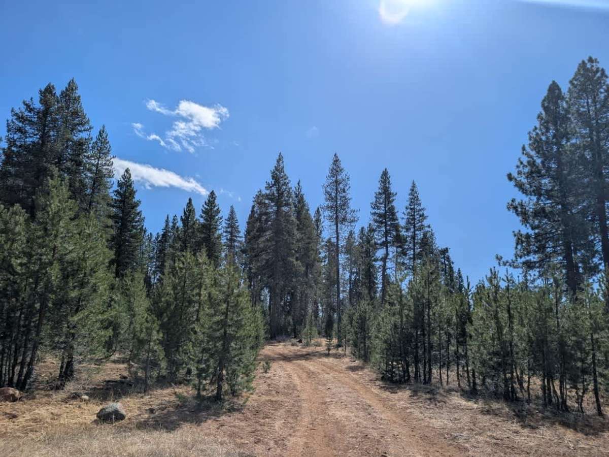
This well-maintained trail has a dusty, red-silt surface, with occasional rocks scattered across the road that can be hard to spot in the dust. Most of the route is straightforward, but it gets increasingly rocky as you approach the paved 44, so watch your speed and tire placement. Along the way, you’ll find a large, beautiful clearing with a spacious dispersed campsite suitable for larger groups, featuring a large rock fire ring. Several spurs and side trails branch toward Feather Lake, but one route is closed. Although independent tracks have been created nearby, do not use closed routes or unauthorized trails; check current maps and posted restrictions before exploring the area. The trail connects directly to the 44, which can be busy; exercise extra caution when approaching the highway and when entering or exiting the trail. ATVs, UTVs, Side-by-Sides, and Dirt Bikes must always have a valid California ATV Operating Permit sticker.

Photos of FS 31N90

Difficulty

The trail is manageable throughout, but watch for rocks hidden in the dust and take extra care near the busy entrance.

Technical Rating

1

FS 31N90 Trail can be accessed by the following ride types:

  • Single Track
  • 50 Inch
  • 60 Inch
  • High Clearance
  • Full Width

FS 31N90 Map

The onX Offroad Difference

onX Offroad combines trail photos, descriptions, difficulty ratings, width restrictions, seasonality, and more in a user-friendly interface. Available on all devices, with offline access and full compatibility with CarPlay and Android Auto. Discover what you're missing today!

Open Trail Map