Trail Overview
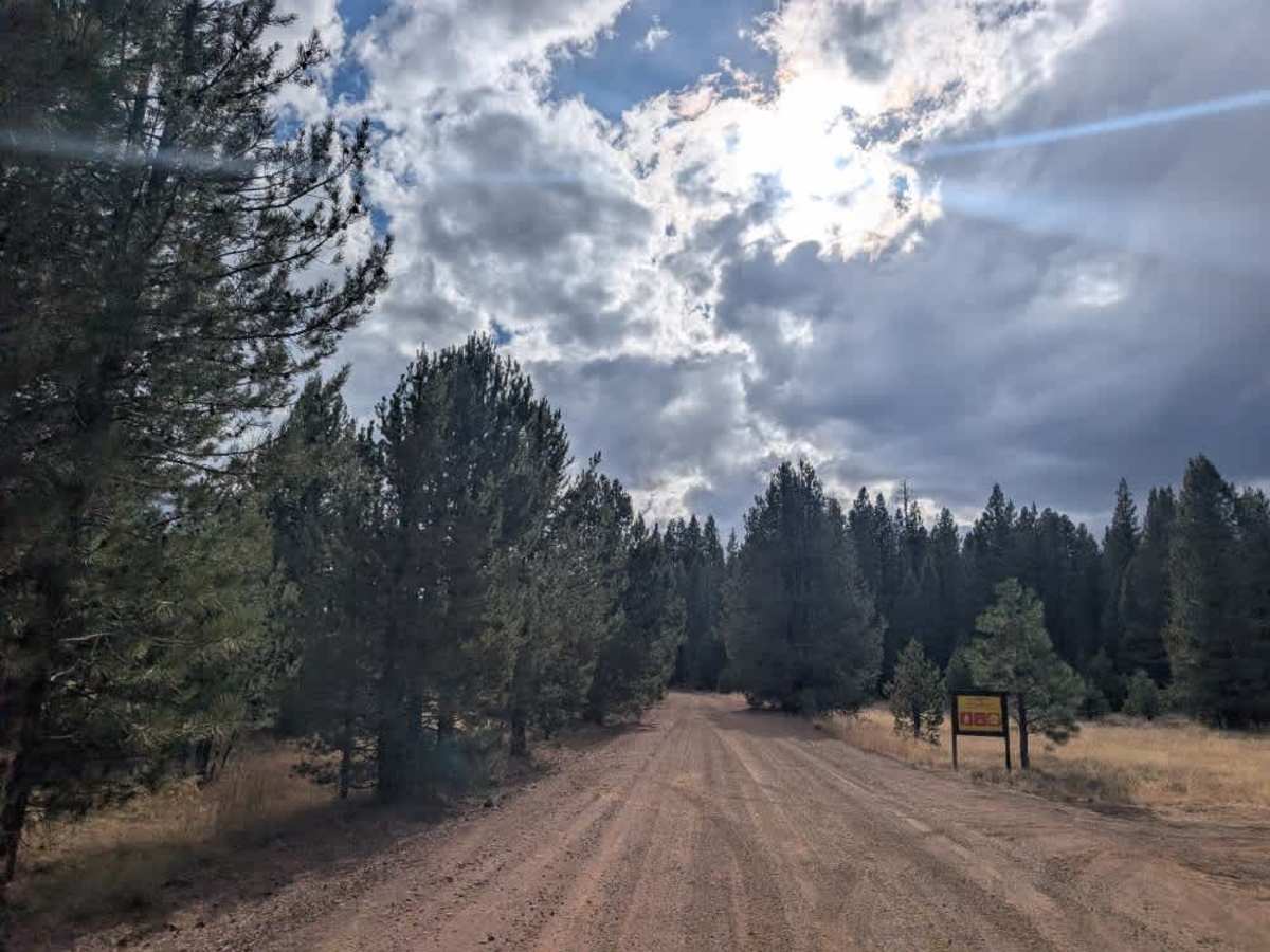
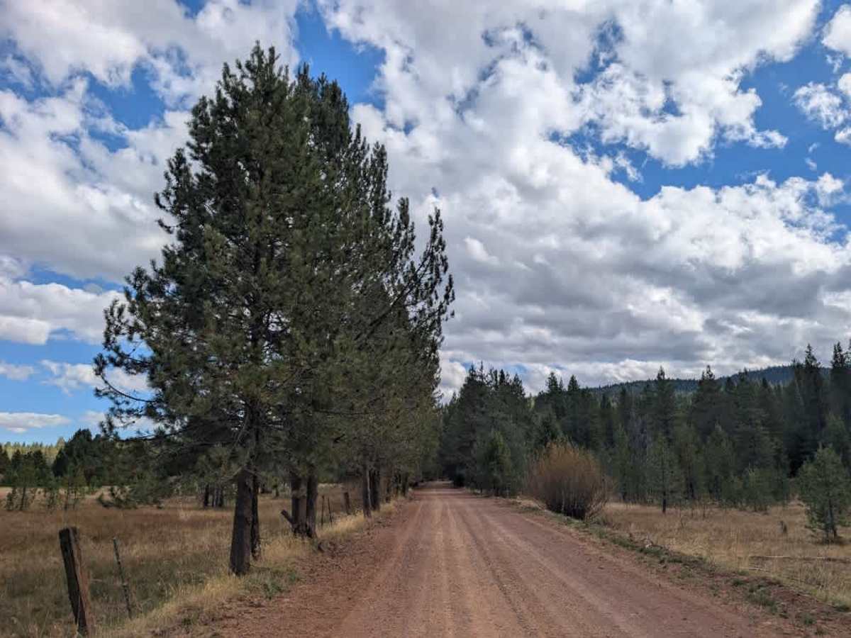
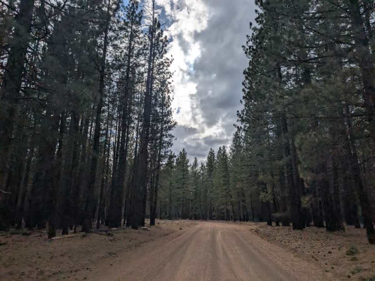
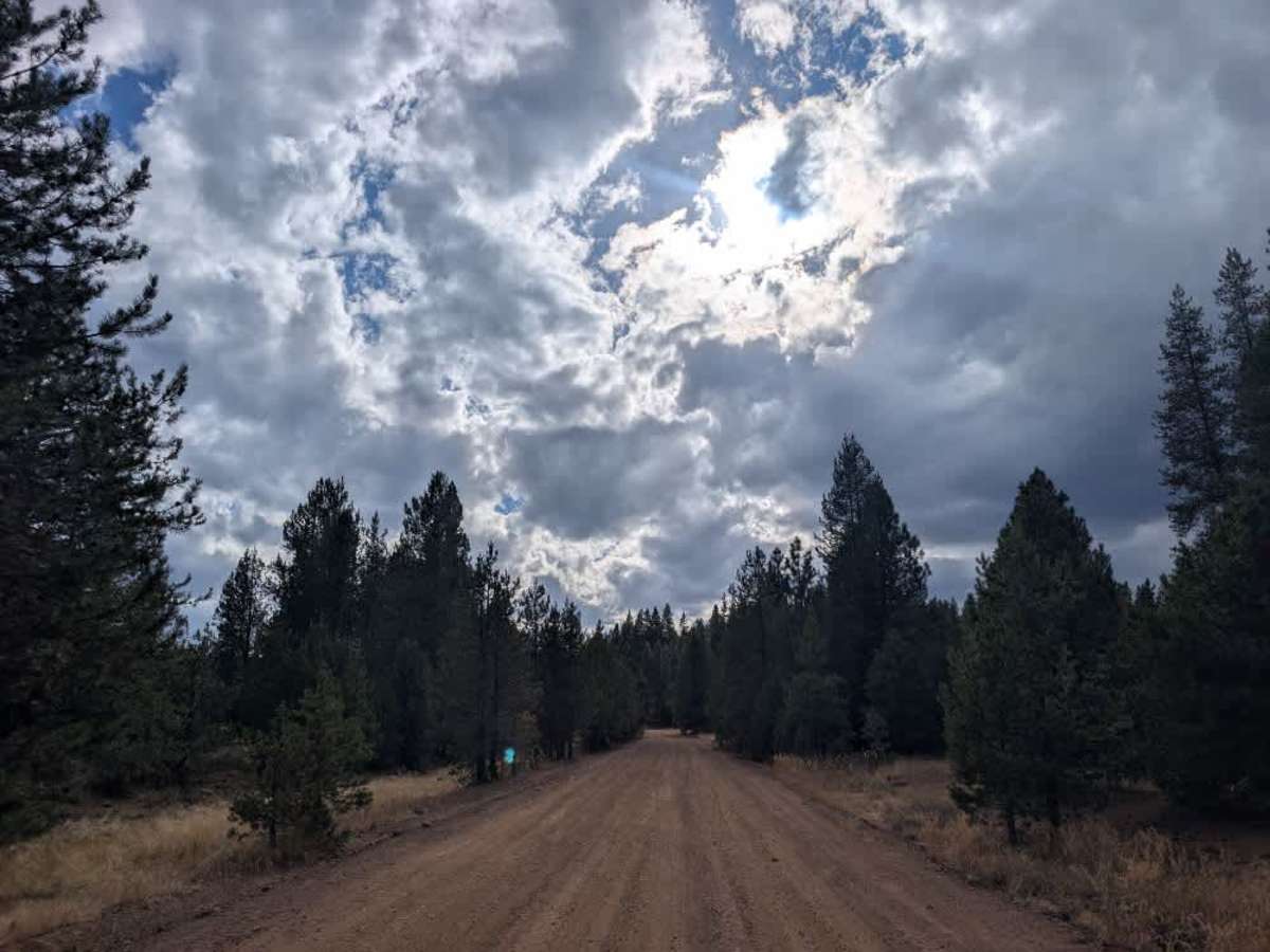
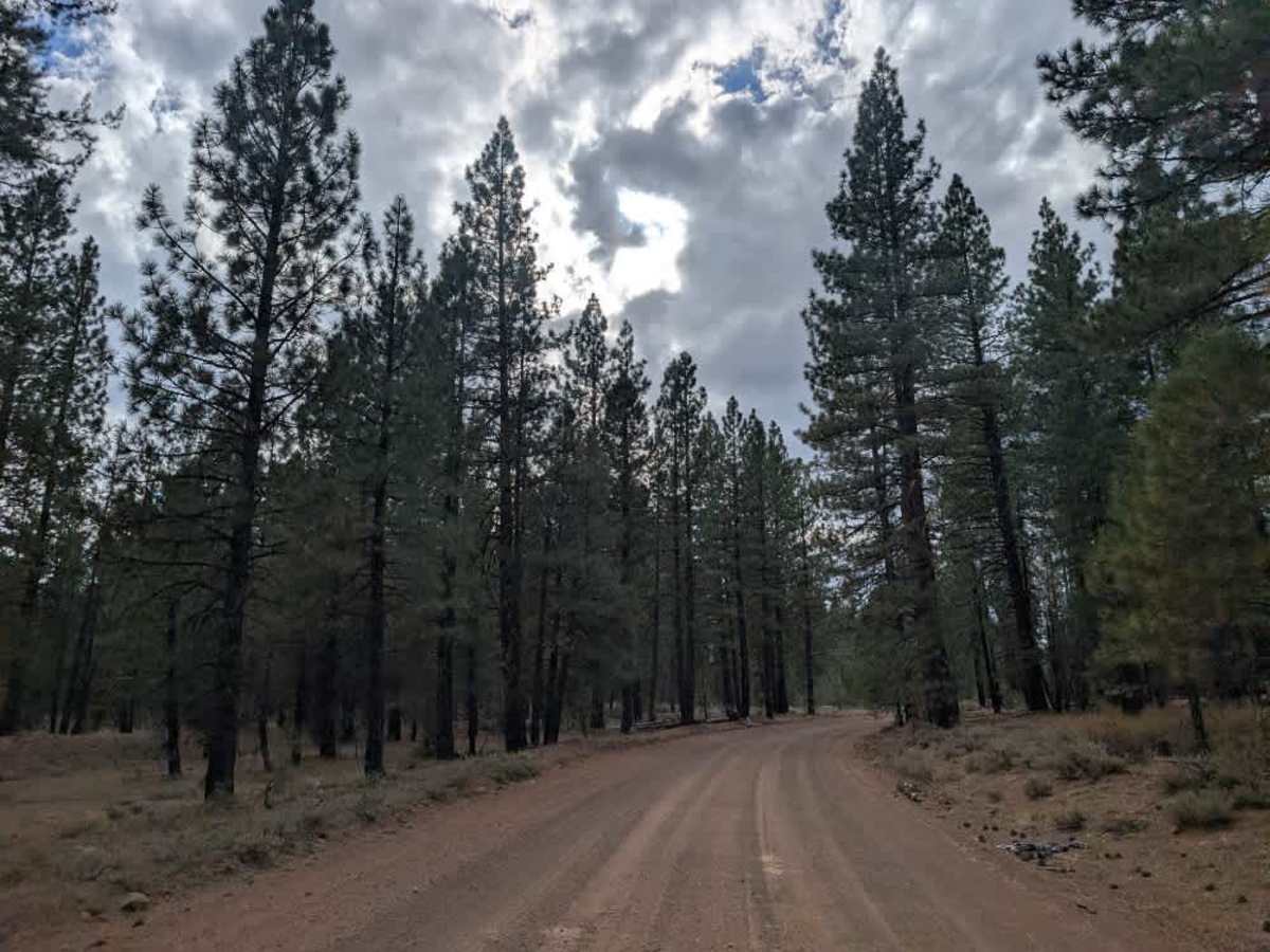
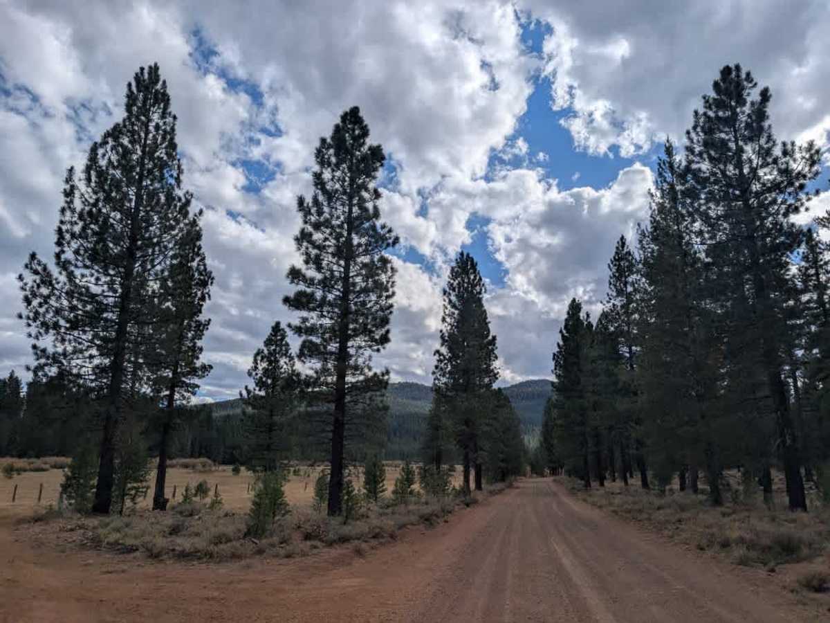
This well-maintained gravel road serves as a main connector between Westwood and Susanville, passing by McCoy Flat Reservoir along the way. The surface is generally in good condition, with a few side roads branching off for those looking to explore nearby routes. This drive provides a convenient way to travel through the area. The Bizz Johnson Trailhead is also accessible from this road and leads to a non-motorized trail used by hikers, runners, and organized running competitions; this route is heavily used, so watch for pedestrians, especially as you near the trailhead. This trail is accessible only to Highway Legal Vehicles, so please do not use any other type of vehicle on this road. ATVs, UTVs, Side-by-Sides, and Dirt Bikes must always have a valid California ATV Operating Permit sticker.