
Beginner Off-Road Trails
Near Karnak, Illinois
Explore All Beginner Trails Near Karnak, Illinois
Beginner Off-Road Trails Near Karnak, Illinois
Discover the best beginner-friendly off-road trails near you. These easier, lower-rated trails are a great place to start — browse trail maps, check difficulty ratings, and find your next adventure.
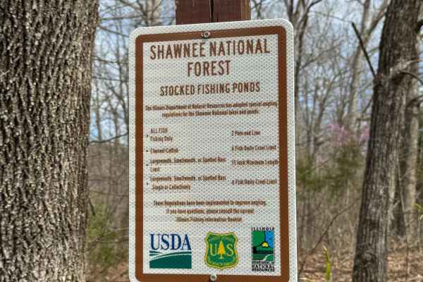
Dutchman Lake Trail
Dutchman Lake Trail is a short gravel road within Shawnee National Forest that leads to a quiet access point at Dutchman Lake. The route is easy to navigate with minimal obstacles, though ruts may develop after periods of heavy rainfall. The boat access area consists of a gravel and grass launch on ...
Learn more about Dutchman Lake Trail

Taylor Ridge Road
Taylor Ridge Road is a gravel route within Shawnee National Forest that leads to a designated trailhead parking area for nearby hiking trails. The road is generally easy to navigate, with occasional ruts that may form after heavy rainfall. At the start of the route, signage indicates a dead end, whi...
Learn more about Taylor Ridge Road
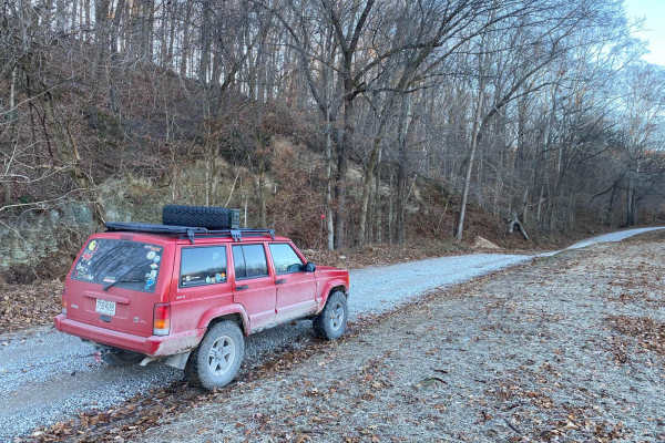
Lingle Creek Road
Lingle Creek Road is an ideal, beginner-friendly gravel route for four-wheel-drive vehicles, SxSs, and dual-sport motorcycles looking to explore the scenic rolling hills of southern Illinois. Spanning approximately 2.8 miles with a mild elevation gain of 91 feet, the road closely parallels Lingle Cr...
Learn more about Lingle Creek Road

Grandpa's Getaway
Grandpa’s Getaway is a short gravel road that leads to a quiet access point at Little Cache Number 1 Reservoir, also known locally as Bowman Bottoms Fishing Hole. The route is easy to follow and ends at a small gravel and grass parking area near the water. The launch area consists of a natural grave...
Learn more about Grandpa's Getaway
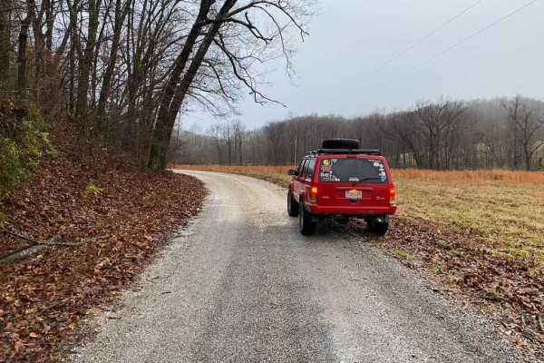
East Delta Road
East Detla Road, is the eastern section of the road going through Shawnee National Forest connecting the Opossum Trot Trail System to Elco, IL. The road is a steady uphill climb when headed west, gaining 275 feet over it's trek. The gravel road is mild and only shows slight rutting, washing, and mou...
Learn more about East Delta Road
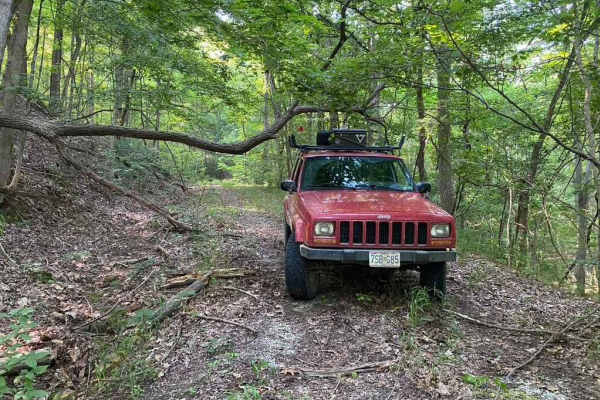
Burner Hill FSR 620
Burner Hill FSR 620 is an old gravel forestry road in the southern area of the Mississippi Bluffs sector of Shawnee National Forest. The road seems near-forgotten, and shows little signs of use or maintenance. Fallen trees add to the fun and challenge of weaving your way to the top of the road. The ...
Learn more about Burner Hill FSR 620
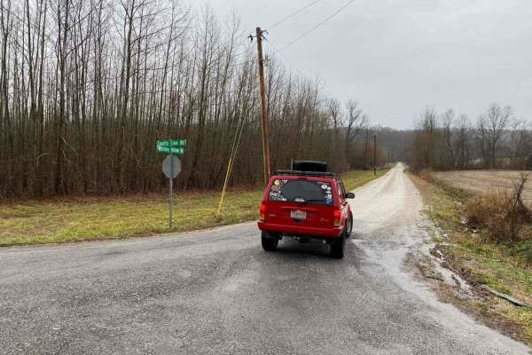
Whitney Hollow Road
Whitney Hollow Road is an easy 2.7-mile gravel route through the Shawnee National Forest, perfect for stock four-wheel-drive vehicles, SxSs, and overland rigs seeking a scenic dirt alternative to regional pavement. Connecting the Silica Hill section to the Opossum Trot section of the forest, the tra...
Learn more about Whitney Hollow Road
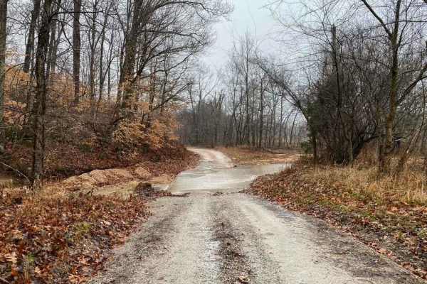
Wilderness Retreat Road
Wilderness Retreat Road is a scenic 2.5-mile gravel connector trail in the Shawnee National Forest, perfect for beginners and seasoned drivers looking to stay off the pavement between more challenging routes. This easy-going dirt and gravel route features a mild 193-foot elevation gain as it winds t...
Learn more about Wilderness Retreat Road
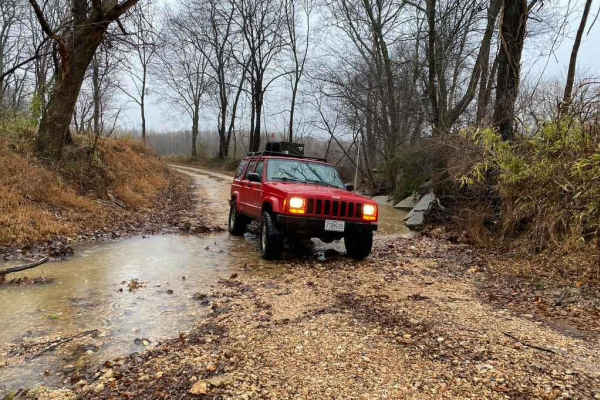
South Silica Hill Road
South Silica Hill Road is a scenic 1-mile gravel route located within the Shawnee National Forest, offering a short but engaging drive for high-clearance four-wheel-drive vehicles and SxSs. Branching south off the Silica Hill trail system near SFR 645, the trail begins with a mild-grade hill climbin...
Learn more about South Silica Hill Road
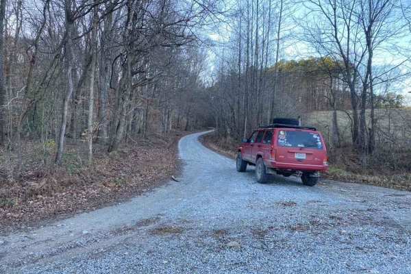
Silica Hill Road SFR 645
The West Silica Hill Road SFR 645 is a 1.3-mile-long forestry road through Shawnee National Forest. As you travel the road, grades come in waves from gradual incline to steep grades. These steep grades include tight turns, medium-sized ruts, bare dirt sections, and some mild water collection spots. ...
Learn more about Silica Hill Road SFR 645
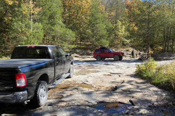
Bork Falls Road
Bork Falls Road, also known partly as Regent Lane and Cedar Grove Road and featuring the Goreville Waterfall, is a gravel road through Johnson County, Illinois. It provides access to the western section of Ferne Clyffe State Park and Bork Falls. The road is generally well-maintained, featuring only ...
Learn more about Bork Falls Road
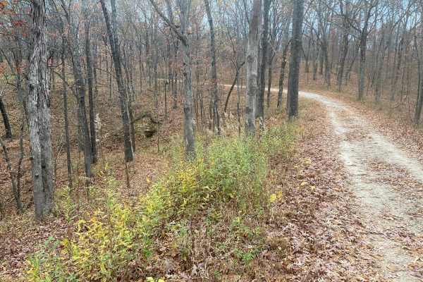
Opossum Trot Road SFR 628
Opossum Trot Road SFR 628 is an easy, scenic 2.9-mile gravel route through the Shawnee National Forest, making it perfect for beginners, scenic drivers, and those looking for a relaxing escape into nature. Winding through dense hardwood forests in southern Illinois, this well-maintained forest servi...
Learn more about Opossum Trot Road SFR 628
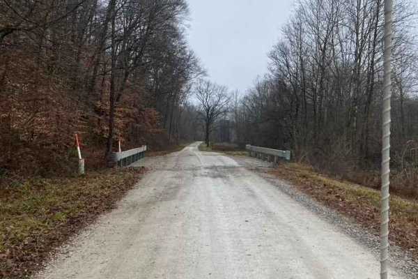
Delta Road/Moad Hollow Road
Delta Road and Moad Hollow Road are the precursors to the Opossum Trot Trail System within Shawnee National Forest. This gravel road features an easy cruise leading you through the Illinois countryside showing off its lowland valley beauty. You'll eventually be going into the rolling hills of Shawne...
Learn more about Delta Road/Moad Hollow Road
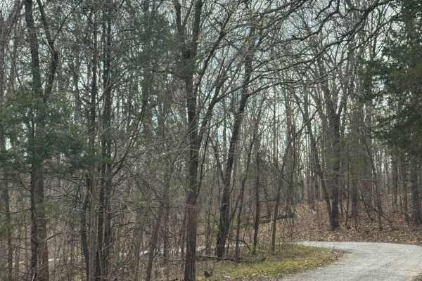
Millstone Bluffs Trailhead
Millstone Bluffs Trailhead is accessed by a maintained gravel road within Shawnee National Forest that leads to a large parking area for hikers. The route is easy to follow and provides straightforward access to one of the area’s popular trail systems. At the end of the road, visitors will find a sp...
Learn more about Millstone Bluffs Trailhead
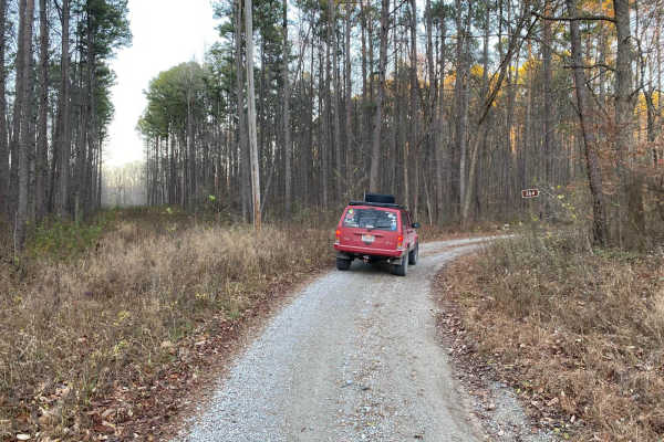
Grabber SFR 264
Grabber SFR 264 is a 1.7-mile-long forestry road through Shawnee National Forest. It traverses some of the steepest graveled hills in the SW corner of the forest, climbing a total of 406 feet from its entry point to its highest point. It has mild rutting on nearly all inclines, some being medium in ...
Learn more about Grabber SFR 264
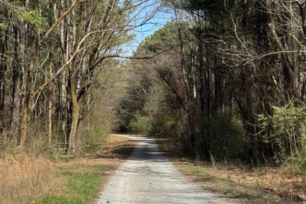
Hickory Point Boat Ramp - FS 871
This route follows a gravel road within Shawnee National Forest and leads to the Hickory Point Boat Ramp at Lake of Egypt. At the Y-intersection, this route branches away from the campground access and continues toward the water. The road surface is similar throughout, consisting of gravel with some...
Learn more about Hickory Point Boat Ramp - FS 871
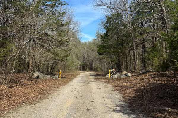
Lake Of Egypt Campground Drive - FS 871A
This route leads to a primitive campground area within Shawnee National Forest overlooking Lake of Egypt. The trail follows a partially maintained gravel road with frequent tree limbs overhanging that may limit access for larger vehicles. Due to tight clearances, this route is best suited for truck ...
Learn more about Lake Of Egypt Campground Drive - FS 871A
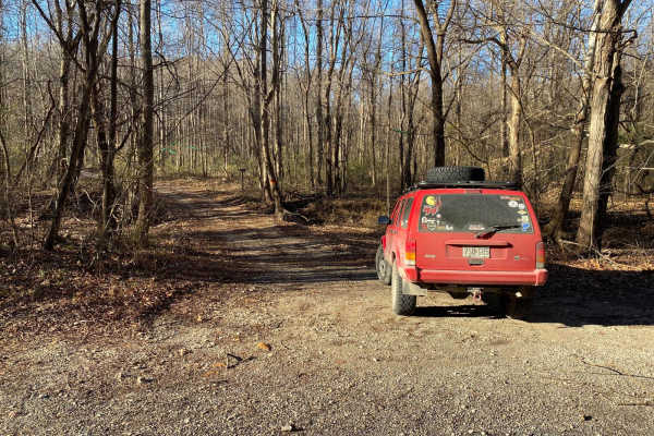
Old Goat SFR 625 & 625A
Old Goat SFR 625 and 625A is a State Forest Road in Shawnee National Forest. The road is short at only 1.1 miles long, but packs a punch, dipping through a creek bottom shortly after climbing a steep grade while circling around the first main hill. The hill features small ruts and gravel fading to d...
Learn more about Old Goat SFR 625 & 625A
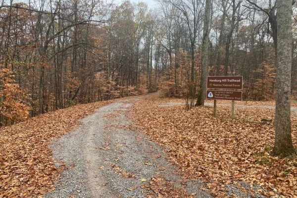
Atwood Road SFR 266
Atwood Road SFR 266 is a Shawnee National Forest state forest road that travels to the old Atwood lookout tower site. The hill's grade is one of the steepest and tallest in the area right at a 500-foot elevation climb within 1.5 miles. The road features sections of well-maintained gravel along with ...
Learn more about Atwood Road SFR 266
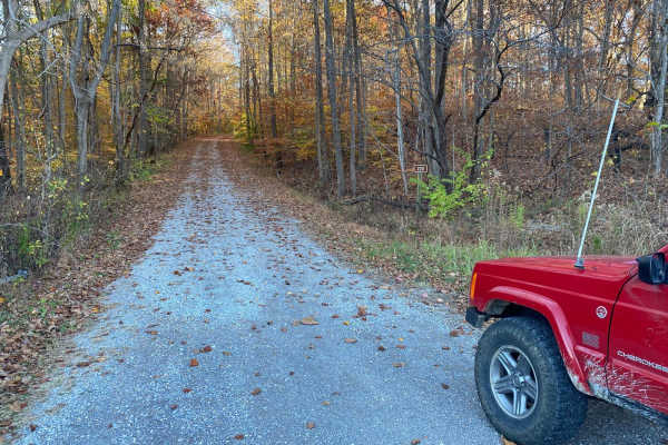
McCraven SFR 220
McCraven SFR 220 is a very scenic nature-viewing gravel road in Shawnee National Forest. It is a very easy trail with a minimal challenge, but there are a few muddy crossings and water collection spots within its medium-grade graveled hills. It also features a couple of branch trails, the SFR 504 an...
Learn more about McCraven SFR 220
Beginner ATV trails near Karnak, Illinois
Explore ATV-friendly trails near you. These trails are accessible for vehicles up to 50 inches wide, perfect for ATVs and smaller off-road machines.
McCraven SFR 220
McCraven SFR 220 is a very scenic nature-viewing gravel road in Shawnee National Forest. It is a very easy trail with a minimal challenge, but there are a few muddy crossings and water collection spots within its medium-grade graveled hills. It also features a couple of branch trails, the SFR 504 an...
Learn more about McCraven SFR 220
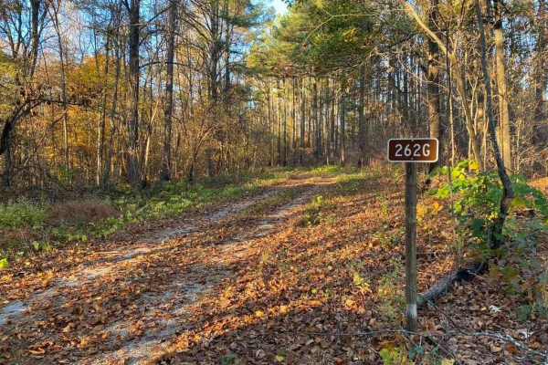
Slick Ridge FSR 262G
The Slick Ridge FSR 262G is a mildly challenging natural fire road that has the reward of a great view of Shawnee National Forest. It features an off-camber eroded section that will test your articulation and clearances. It runs you through several small mud holes and a small grade with tree roots. ...
Learn more about Slick Ridge FSR 262G
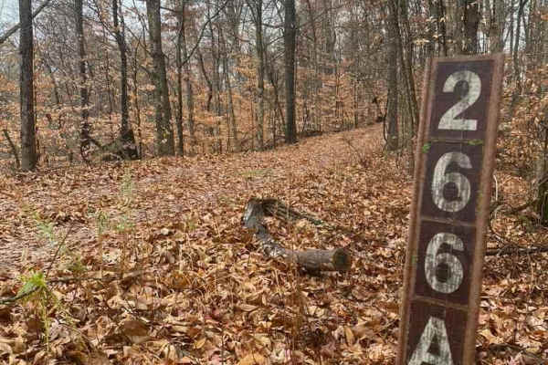
N Hamburg Hill Spur
The N Hamburg Hill Spur 266AA, within Shawnee National Forest, is a trail that once was traversable by full-width vehicles, but in its current state should only be trekked by dirt bikes and 4-wheelers, within the first .1 mile there is a turnaround/parking area to unload, but from there on, the trai...
Learn more about N Hamburg Hill Spur
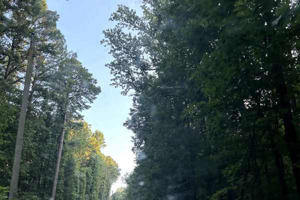
Glen Street
Glen Street Trail is a scenic main artery through this section of Shawnee National Forest, providing access to dispersed campsites, numerous side trails and the spectacular Jackson Falls area. The trail is somewhat rougher than other primary routes nearby, with deeper puddles, rainwater erosion, exp...
Learn more about Glen Street
Beginner UTV/side-by-side trails near Karnak, Illinois
Find UTV and side-by-side trails near you. These trails accommodate vehicles up to 60 inches wide, ideal for UTVs, side-by-sides, and wider off-road rigs.
Lingle Creek Road
Lingle Creek Road is an ideal, beginner-friendly gravel route for four-wheel-drive vehicles, SxSs, and dual-sport motorcycles looking to explore the scenic rolling hills of southern Illinois. Spanning approximately 2.8 miles with a mild elevation gain of 91 feet, the road closely parallels Lingle Cr...
Learn more about Lingle Creek Road
Opossum Trot Road SFR 628
Opossum Trot Road SFR 628 is an easy, scenic 2.9-mile gravel route through the Shawnee National Forest, making it perfect for beginners, scenic drivers, and those looking for a relaxing escape into nature. Winding through dense hardwood forests in southern Illinois, this well-maintained forest servi...
Learn more about Opossum Trot Road SFR 628
Atwood Road SFR 266
Atwood Road SFR 266 is a Shawnee National Forest state forest road that travels to the old Atwood lookout tower site. The hill's grade is one of the steepest and tallest in the area right at a 500-foot elevation climb within 1.5 miles. The road features sections of well-maintained gravel along with ...
Learn more about Atwood Road SFR 266
McCraven SFR 220
McCraven SFR 220 is a very scenic nature-viewing gravel road in Shawnee National Forest. It is a very easy trail with a minimal challenge, but there are a few muddy crossings and water collection spots within its medium-grade graveled hills. It also features a couple of branch trails, the SFR 504 an...
Learn more about McCraven SFR 220
The onX Offroad Difference
onX Offroad combines trail photos, descriptions, difficulty ratings, width restrictions, seasonality, and more in a user-friendly interface. Available on all devices, with offline access and full compatibility with CarPlay and Android Auto. Discover what you're missing today!
Open Trail Map