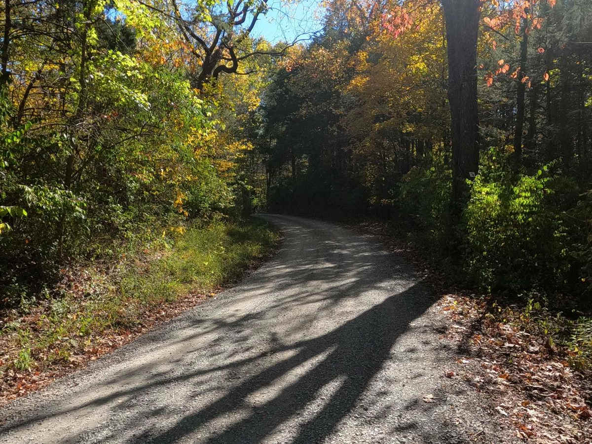
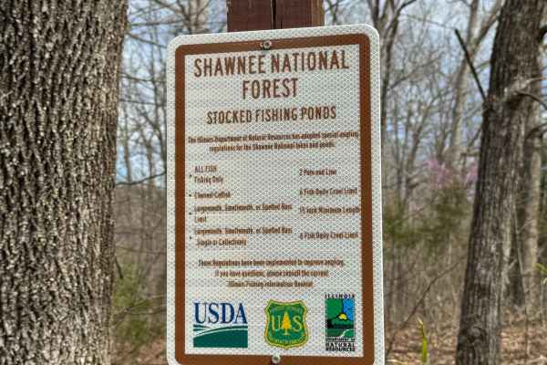
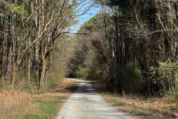
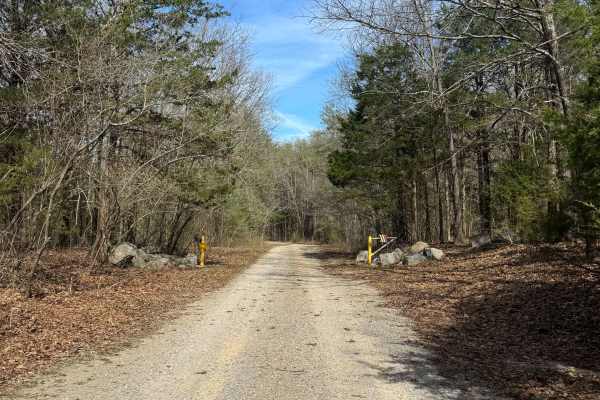
Bork Falls Road

Total Miles 4.7
Technical Rating
2 Easy
Best Time Spring, Summer, Fall, Winter
Trail Type Full-Width Road
Accessible By
Open Trail Map

Trail Overview

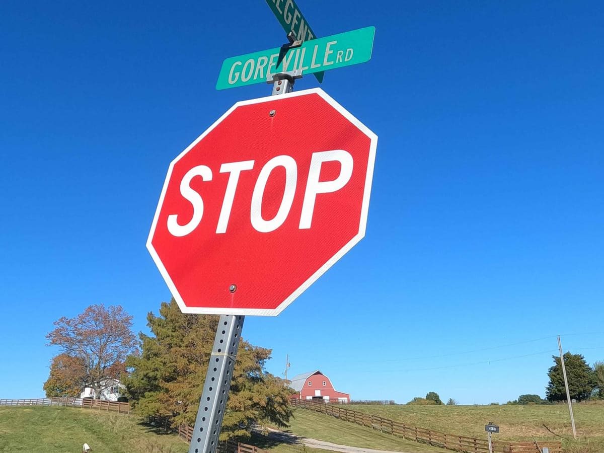
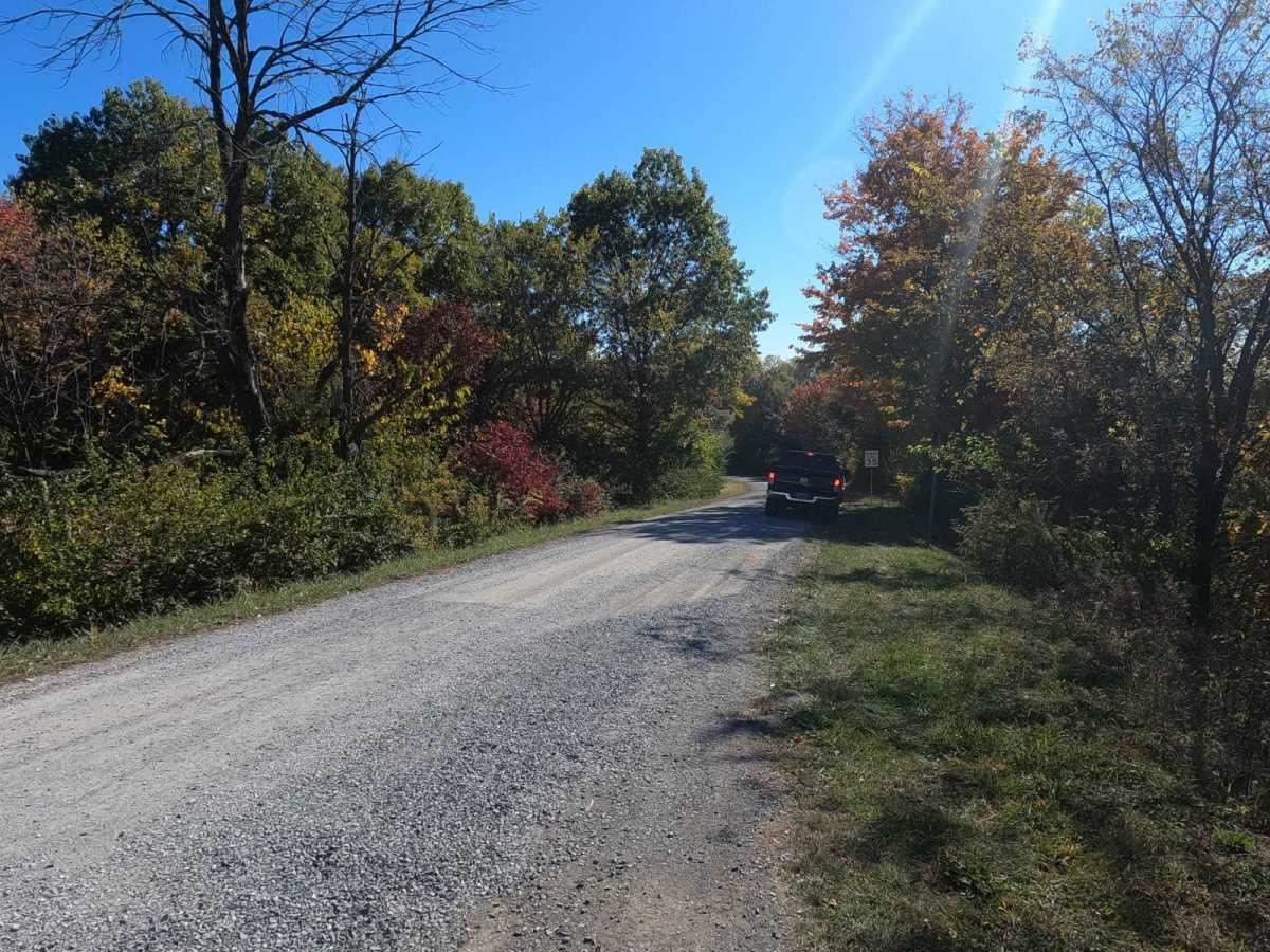
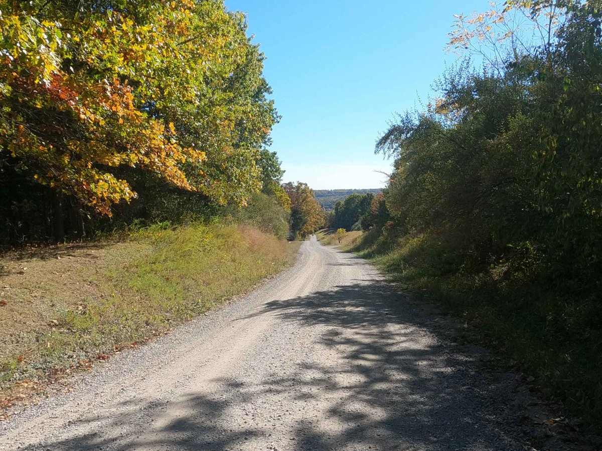
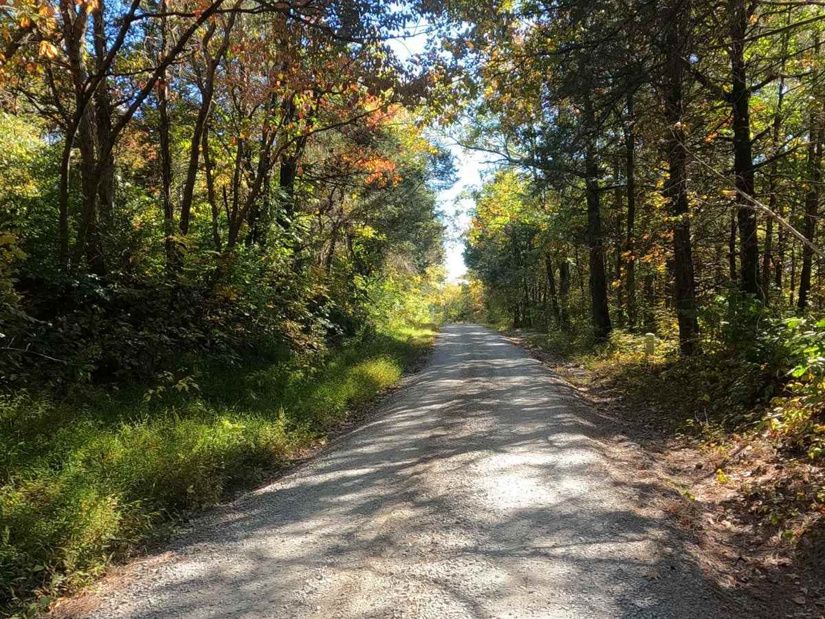
Bork Falls Road, also known partly as Regent Lane and Cedar Grove Road and featuring the Goreville Waterfall, is a gravel road through Johnson County, Illinois. It provides access to the western section of Ferne Clyffe State Park and Bork Falls. The road is generally well-maintained, featuring only a few mild natural obstacles, including the natural rock at Bork Falls and the creek crossings at Buck Branch. The road's main purpose is to provide access to the western section of hiking and sightseeing within Ferne Clyffe State Park, including the waterfall and undercut bluff. You'll find a hiking trail down to the bottoms of said waterfall and the surrounding waterside area of Buck Branch Creek, full of natural creek rock and water pools surrounded by peaceful tree lines. This makes for a great outing if looking to get some easy offroad action paired with some hiking and natural scenery.

Photos of Bork Falls Road

Difficulty

The Bork Falls Road is mostly a 1/10 road, featuring a well-maintained gravel road base and the common complications of potholes, mounding, and washboarding. It also has two small creek crossings that feature shallow water; on summer days, it is potentially dry, but in springtime and wet conditions, it can be upwards of 6 inches deep, and very rarely 12 inches deep in flooding conditions. The Bork Falls location features smoothed unlevel natural rock at its crossing point. This features little variations of the rock amounting easily to 4- to 6-inches in size, with optional lines of greater variation closer to the bluff/falls. These two crossings and variations of the natural rock push the road to the given 2/10 rating. Outside of this, there are a few mild hills to climb, but these feature consistent gravel with only mild signs of erosion. Difficulty can increase in extremely wet conditions and flooding scenarios.

Technical Rating

2

Status Reports

Add Status Report
PM Ostrowski
Oct 28, 2025
Open
Road was experiencing runoff so both crossings were under water. But still easily crossed
Shayne Danielson
Jul 26, 2025
Open
Both creek crossings were very low. For Bjork falls, there was only a little bit of water flowing. Definitely worth checking out. There are a number of trails to get down to the bottom and a swimming hole. It is certainly a popular place.
Carmen Johnson
May 26, 2025
Open
Rob Evola
Oct 06, 2024
Open
Pretty decent gravel road mostly. The south section is paved. In the middle, the road crosses a shallow creek with a solid rock bed with Bork Falls about 10 yards downstream. This is a really cool stop.
Brian Foard
Sep 10, 2024
Open
No water over falls, only small pool below.
Kyger guyton
May 27, 2024
Open
Both downed trees are after the water crossings
Joel Barter
May 12, 2024
Open
Trail is clear today. But a bit dusty
Chris Menz
May 09, 2024
Open
Water fall is very active with all the rain in the area as of late, very risky crossing this water.
Dustin Jarrett
Feb 17, 2024
Open
Well maintained gravel road with two small water crossings. Road crosses over the top of Bork Falls. Short hike to see the bottom or Bork Falls. Beautiful area.

Bork Falls Road Trail can be accessed by the following ride types:

  • High Clearance
  • Full Width

Bork Falls Road Map

The onX Offroad Difference

onX Offroad combines trail photos, descriptions, difficulty ratings, width restrictions, seasonality, and more in a user-friendly interface. Available on all devices, with offline access and full compatibility with CarPlay and Android Auto. Discover what you're missing today!

Open Trail Map