
Beginner Off-Road Trails
Near Idaville, Oregon
Explore All Beginner Trails Near Idaville, Oregon
Beginner Off-Road Trails Near Idaville, Oregon
Discover the best beginner-friendly off-road trails near you. These easier, lower-rated trails are a great place to start — browse trail maps, check difficulty ratings, and find your next adventure.
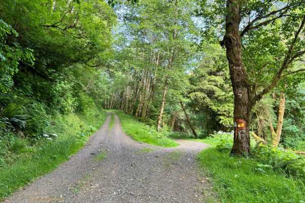
Miami River Forest Road
Miami River Forest Road and Frank Crane Road are a 4–6 mile gravel route through Tillamook State Forest's second-growth Douglas-fir, along the Miami River, offering year-round access for hiking, fishing, and OHV, but expect variable conditions due to over 100 inches of annual rainfall: summer/fall b...
Learn more about Miami River Forest Road
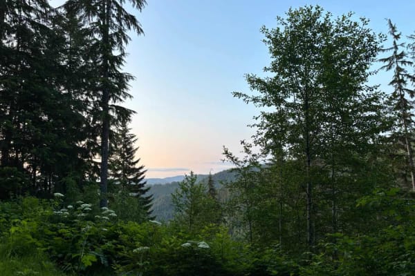
Shiffman Road
Shiffman Road begins at Miami Foley Road in the west and ends at Miami Forest River Road. It peaks at about 1,500 feet near Foley Peak and dips to its lowest point at the Miami River. An optional spur leads past Craig Mountain (2,008 feet) and Foley Peak (2,260 feet). The gravel road has occasional ...
Learn more about Shiffman Road
Firebreak 3 West
Firebreak 3 West starts at the junction of Platt Canyon Road, Anderson Ridge Road, Easy Foley Ridge Road, and Firebreak 3 East and heads west along an open ridge. The well-graded gravel road offers occasional sweeping views south over the Miami River valley, Nehalem Bay, and the Pacific Ocean on cle...
Learn more about Firebreak 3 West
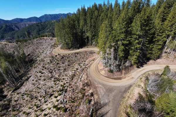
Kilchis Lookout Road
Kilchis Lookout Road starts at Muesial Creek Road to the east and heads up to Kilchis Mountain to the west. From Kilchis Mountain spur you can head back and to the west. It intersects with Sam Downs Road and then to Kilchis Forest Road. Heading further west will bring you to the Tillamook area. Kilc...
Learn more about Kilchis Lookout Road
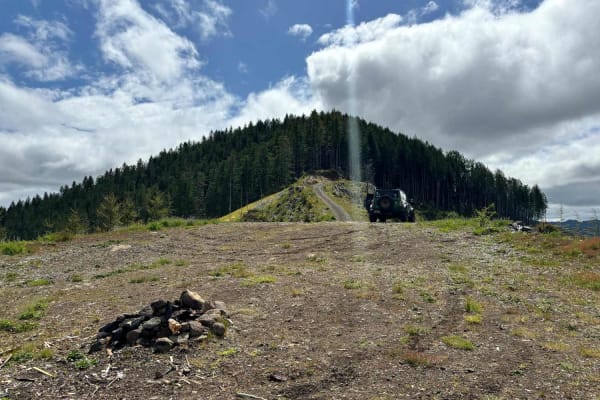
Wolf Point to Jones Creek
This trail connects Cedar Butte Road with Jones Creek Road with an optional stop at Wolf Point. An open area just below Wolf Point offers great views to the north of Triangulation Point along with views of the Cedar Creek Valley below. The top of Wolf Point is accessible via a single track trail, al...
Learn more about Wolf Point to Jones Creek

Kilchis Falls Spur
This two-mile portion of Kilchis River Forest Road is used as a spur to access a nearby waterfall while exploring the area. Kilchis Falls is a tall, misty waterfall, found on the winding back roads of the Tillamook State Forest. While it stands at an impressive 100 feet tall, it's not a particularly...
Learn more about Kilchis Falls Spur
Platt Canyon Road
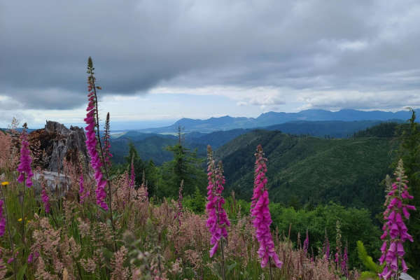
Platt Canyon Road offers a scenic and mildly challenging route through the dense forests of the Oregon Coast Range, making it an excellent option for beginners looking to test their hill-climbing abilities or experienced riders seeking a scenic connector. Branching off from Cook Creek Road in the Ti...
Learn more about Platt Canyon Road
Muesial Creek Road
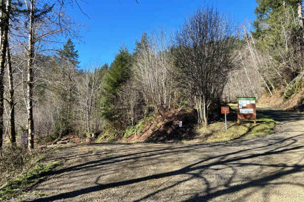
Start by turning off Highway 6 onto Cedar Butte Road, then take a left onto Wolf Creek Road, which eventually becomes Muesial Creek Road. You can also reach the opposite end of Muesial Creek Road by heading about 2 miles up Cedar Butte Road. Stretching roughly 4 miles, Muesial Creek Road crosses pat...
Learn more about Muesial Creek Road
Cedar Butte Road
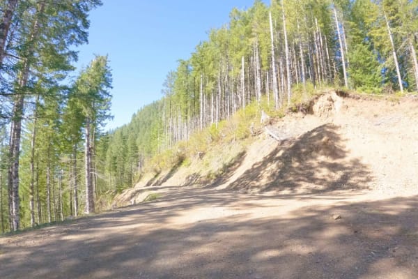
Cedar Butte Road crosses the Wilson River as it begins at Highway 6 and climbs over 2,500' over 6.5 miles up into the Tillamook Range to a saddle just below Cedar Butte where it meets up with Cedar Creek Road, Kilchis River Road, and Wolf Point Road. It is one of the main access roads into this sect...
Learn more about Cedar Butte Road
Jordan Creek Road
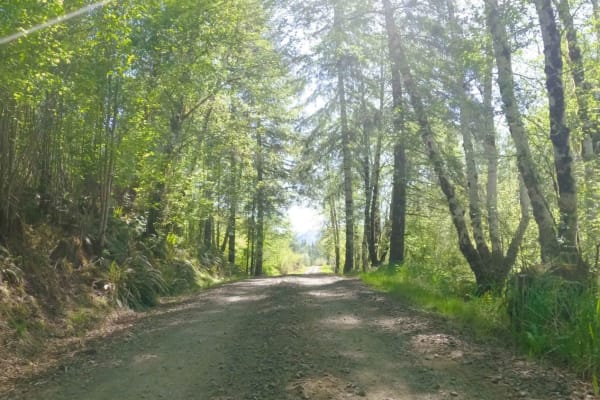
Jordan Creek Road is a five-mile gravel FS road that follows along Jordan Creek before connecting to Hembre Ridge Road and then eventually ending at the Jordan Creek 003 Moto/ATV trail. It accesses numerous other OHV trails and the Jordan Creek OHV Staging Area so there is often a good amount of mix...
Learn more about Jordan Creek Road
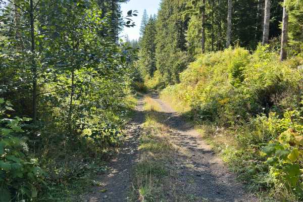
Foiled Road
Foiled Road is a deviation from how well-maintained and wide Wildcat Ridge is. This road is narrow, contains ruts approximately 10 - 15" deep, and will likely leave pin stripes in some spots. Further – plenty of logs sticking out waiting to slice a tire. Nonetheless, the trail is worth it for a grou...
Learn more about Foiled Road
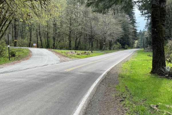
North Fork Trask Road
This is one of the main arteries leading deep into the Tillamook State Forest from the Trask River Road. Follow it up the North Fork Trask River and on to Yamhill if you wish, passing Barney Reservoir along the way. As you leave the pavement behind, you'll soon be traveling along the riverbank where...
Learn more about North Fork Trask Road
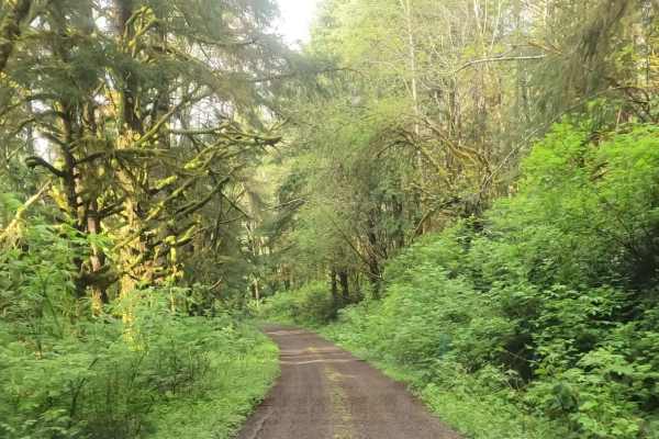
Andy Creek
Andy Creek is an inviting forest route perfect for scenic drivers, overlanders, and OHV enthusiasts looking to escape the crowded tourist hubs of the Oregon Coast. This easy-going gravel corridor connects Sand Lake Road to the elevated ridges near Buzzard Butte, offering a peaceful alternative to th...
Learn more about Andy Creek
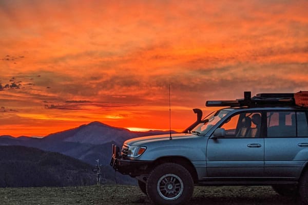
Wolf Point
A steep, infrequently maintained gravel forest service road that climbs from the saddle intersection of Cedar Creek Road and Cedar Butte Road (also sometimes labeled as Wolf Creek Road) up to Triangulation Point, a popular summit in the Tillamook Range. This road has numerous water bars that shed wa...
Learn more about Wolf Point
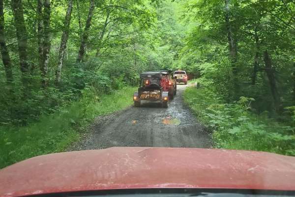
Cook Creek Road
Cook Creek Road is a scenic, beginner-friendly gravel route through Oregon's Tillamook State Forest, perfect for stock SUVs, overland rigs, and scenic drivers looking to explore the coastal mountains. Spanning approximately 11.3 miles, this easy-going logging road features a primarily dirt and grave...
Learn more about Cook Creek Road
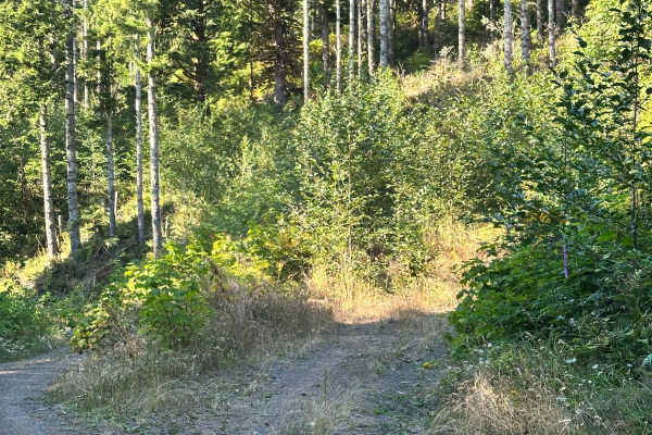
Coyote
Lush, tight, and moody even on a bright summer day. Coyote is clearly a low-trafficked trail that's not only open to all vehicles per the Forest Service map, but also a fun ride. We encountered a lot of wildlife, including deer and hawks. This is also likely the trail that loaded my rig up with spid...
Learn more about Coyote
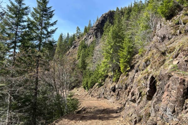
Firebreak 3 East
Firebreak 3 begins just below Triangulation Point in the east, winding west through the Tillamook Forest. It peaks at just under 2,900 feet and descends approximately 800 feet along its length. The eastern end was under repair at the time of submission, but remained passable. Like many local roads c...
Learn more about Firebreak 3 East
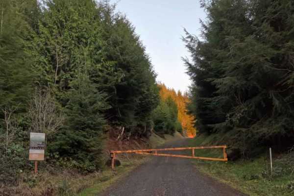
Simmons Ridge Road
Stretching out for eight impeccably smooth miles, Simmons Ridge Road is a scenic, highly accessible, and effortless transit route through the lush, emerald corridors of the coastal forest. The drive is exceptionally straightforward, sweeping elegantly along the ridge under a dense, moss-draped canop...
Learn more about Simmons Ridge Road
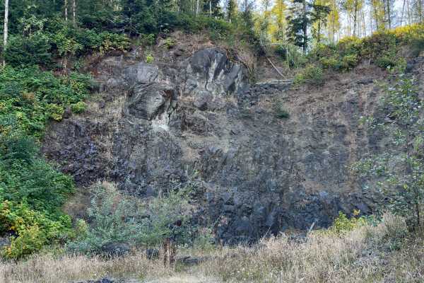
Wildcat Ridge
This route starts at the second fork off E. Beaver Creek Road and passes through an easement at the beginning. The road is well-travelled and maintained; watch for people speeding around corners. Approximately the first 4 miles are open to highway vehicles only – while the last mile is open to all v...
Learn more about Wildcat Ridge
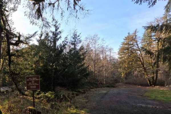
South Fork Trask River Road
South Fork Trask Road is a beautifully smooth, highly accessible 6.5-mile gravel forest service route that serves as a vital and picturesque artery through the lush Tillamook State Forest. Tracing the winding, scenic path of the South Fork Trask River, this uncomplicated, single-lane track is deeply...
Learn more about South Fork Trask River Road
Beginner ATV trails near Idaville, Oregon
Explore ATV-friendly trails near you. These trails are accessible for vehicles up to 50 inches wide, perfect for ATVs and smaller off-road machines.
Wolf Point to Jones Creek
This trail connects Cedar Butte Road with Jones Creek Road with an optional stop at Wolf Point. An open area just below Wolf Point offers great views to the north of Triangulation Point along with views of the Cedar Creek Valley below. The top of Wolf Point is accessible via a single track trail, al...
Learn more about Wolf Point to Jones Creek
Kilchis Falls Spur
This two-mile portion of Kilchis River Forest Road is used as a spur to access a nearby waterfall while exploring the area. Kilchis Falls is a tall, misty waterfall, found on the winding back roads of the Tillamook State Forest. While it stands at an impressive 100 feet tall, it's not a particularly...
Learn more about Kilchis Falls Spur
Platt Canyon Road
Platt Canyon Road offers a scenic and mildly challenging route through the dense forests of the Oregon Coast Range, making it an excellent option for beginners looking to test their hill-climbing abilities or experienced riders seeking a scenic connector. Branching off from Cook Creek Road in the Ti...
Learn more about Platt Canyon Road
Cedar Butte Road
Cedar Butte Road crosses the Wilson River as it begins at Highway 6 and climbs over 2,500' over 6.5 miles up into the Tillamook Range to a saddle just below Cedar Butte where it meets up with Cedar Creek Road, Kilchis River Road, and Wolf Point Road. It is one of the main access roads into this sect...
Learn more about Cedar Butte Road
Beginner UTV/side-by-side trails near Idaville, Oregon
Find UTV and side-by-side trails near you. These trails accommodate vehicles up to 60 inches wide, ideal for UTVs, side-by-sides, and wider off-road rigs.
Wolf Point to Jones Creek
This trail connects Cedar Butte Road with Jones Creek Road with an optional stop at Wolf Point. An open area just below Wolf Point offers great views to the north of Triangulation Point along with views of the Cedar Creek Valley below. The top of Wolf Point is accessible via a single track trail, al...
Learn more about Wolf Point to Jones Creek
Kilchis Falls Spur
This two-mile portion of Kilchis River Forest Road is used as a spur to access a nearby waterfall while exploring the area. Kilchis Falls is a tall, misty waterfall, found on the winding back roads of the Tillamook State Forest. While it stands at an impressive 100 feet tall, it's not a particularly...
Learn more about Kilchis Falls Spur
Platt Canyon Road
Platt Canyon Road offers a scenic and mildly challenging route through the dense forests of the Oregon Coast Range, making it an excellent option for beginners looking to test their hill-climbing abilities or experienced riders seeking a scenic connector. Branching off from Cook Creek Road in the Ti...
Learn more about Platt Canyon Road
Cedar Butte Road
Cedar Butte Road crosses the Wilson River as it begins at Highway 6 and climbs over 2,500' over 6.5 miles up into the Tillamook Range to a saddle just below Cedar Butte where it meets up with Cedar Creek Road, Kilchis River Road, and Wolf Point Road. It is one of the main access roads into this sect...
Learn more about Cedar Butte Road
The onX Offroad Difference
onX Offroad combines trail photos, descriptions, difficulty ratings, width restrictions, seasonality, and more in a user-friendly interface. Available on all devices, with offline access and full compatibility with CarPlay and Android Auto. Discover what you're missing today!
Open Trail Map