Wildcat Ridge

Total Miles5.1
Technical Rating
1Easy
Best TimeSummer, Spring, Fall
Trail TypeFull-Width Road
Accessible By
Open Trail Map

Trail Overview

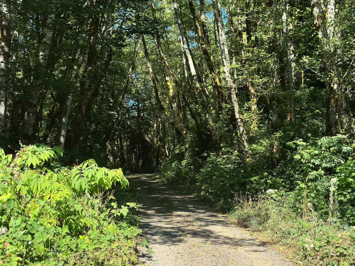
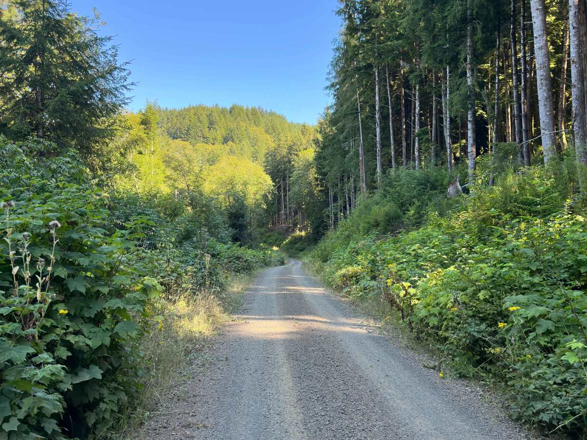
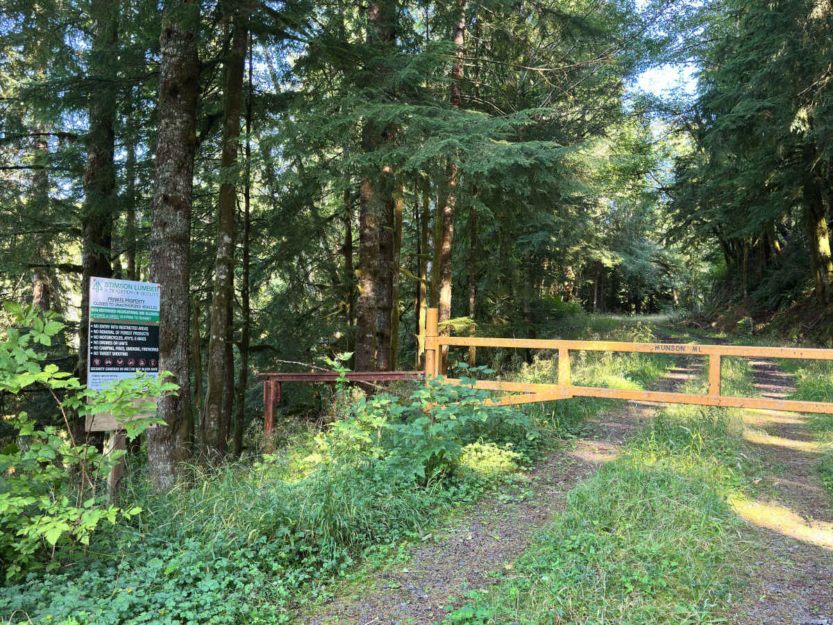
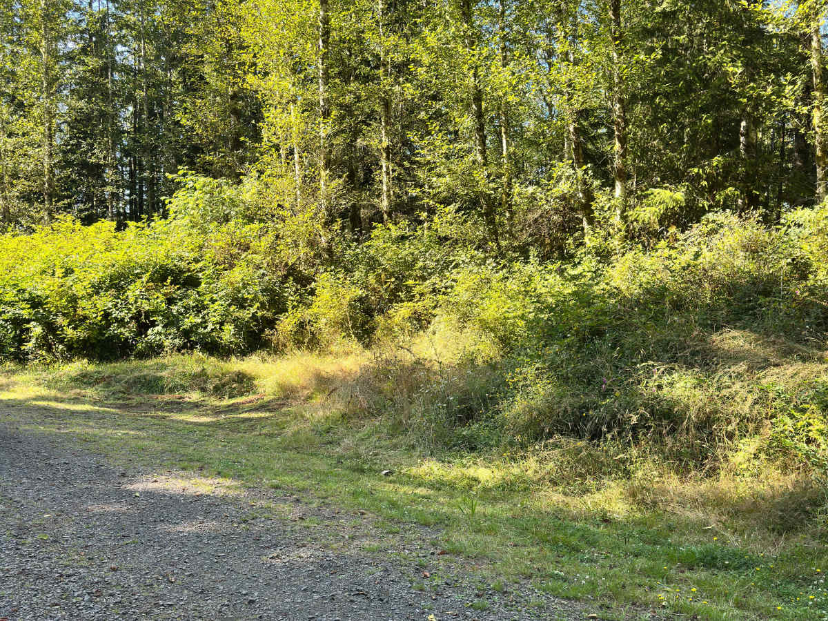
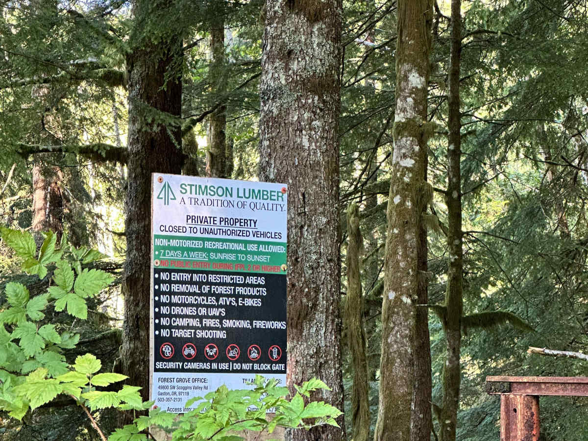
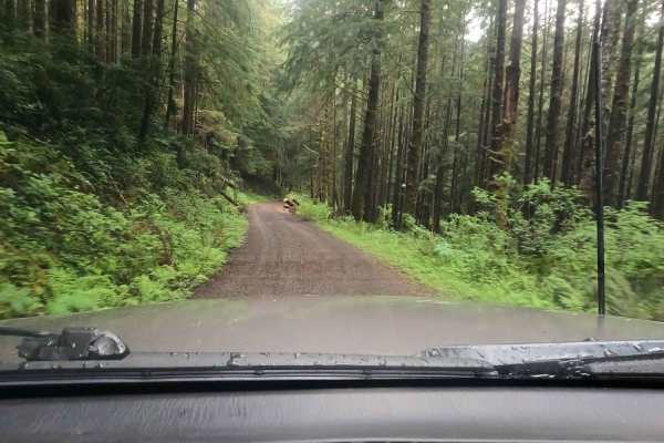
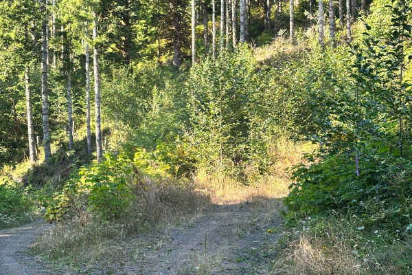
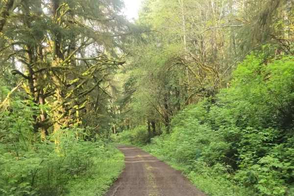
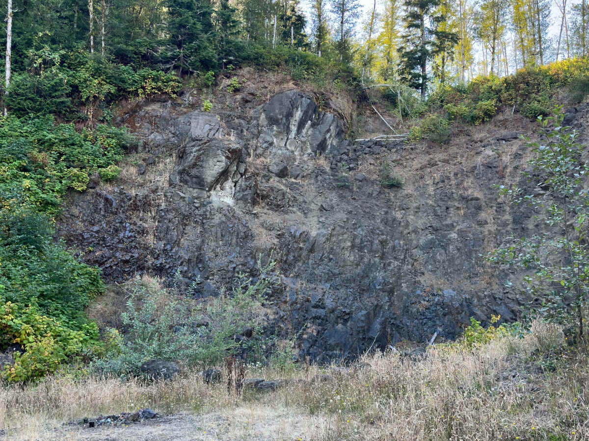
This route starts at the second fork off E. Beaver Creek Road and passes through an easement at the beginning. The road is well-travelled and maintained; watch for people speeding around corners. Approximately the first 4 miles are open to highway vehicles only – while the last mile is open to all vehicles. This trail features several off-shoot trails, several spots to pull off and camp, and a spot near the end that could be suitable for clay shooting (or just setting up a multi-vehicle camping spot). The very end of this trail is met with a gate and a notice that the remainder of the road is private property. The road is wide enough for all vehicles and features several spots to pull off to let others by. We did not encounter any difficulties, and any 2WD vehicle and up suffices.

Photos of Wildcat Ridge

Difficulty

Super easy trail — well-maintained, with plenty of space most of the way up to let others pass. OHV's can access the last mile of the trail per the Forest Service.

Technical Rating

1

Wildcat Ridge Trail can be accessed by the following ride types:

  • Single Track
  • High Clearance
  • Full Width

Wildcat Ridge Map

The onX Offroad Difference

onX Offroad combines trail photos, descriptions, difficulty ratings, width restrictions, seasonality, and more in a user-friendly interface. Available on all devices, with offline access and full compatibility with CarPlay and Android Auto. Discover what you're missing today!

Open Trail Map