Cook Creek Road

Total Miles11.3
Technical Rating
1Easy
Best TimeSpring, Summer, Fall
Trail TypeFull-Width Road
Accessible By
Open Trail Map

Trail Overview

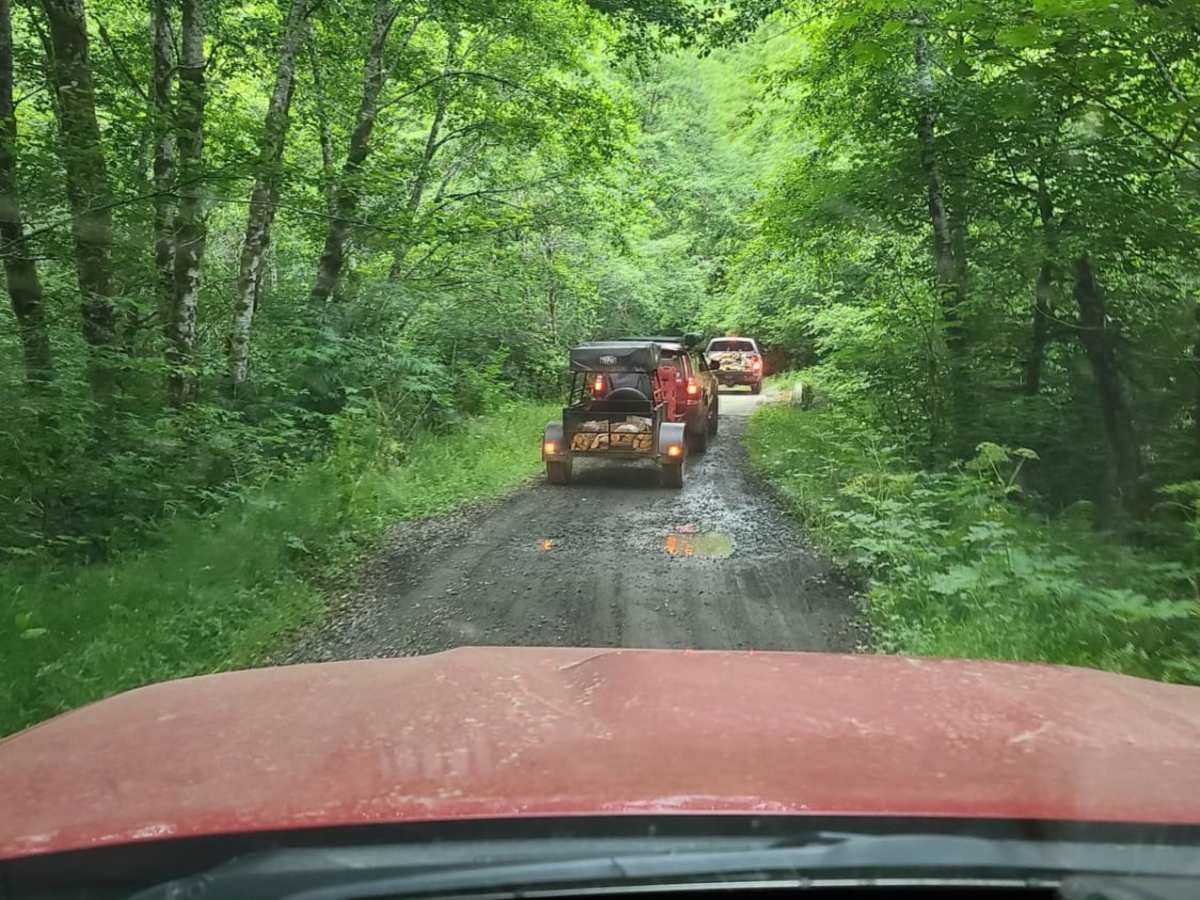
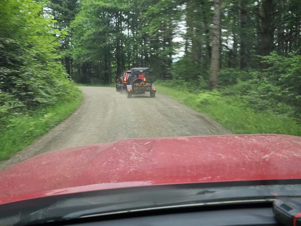
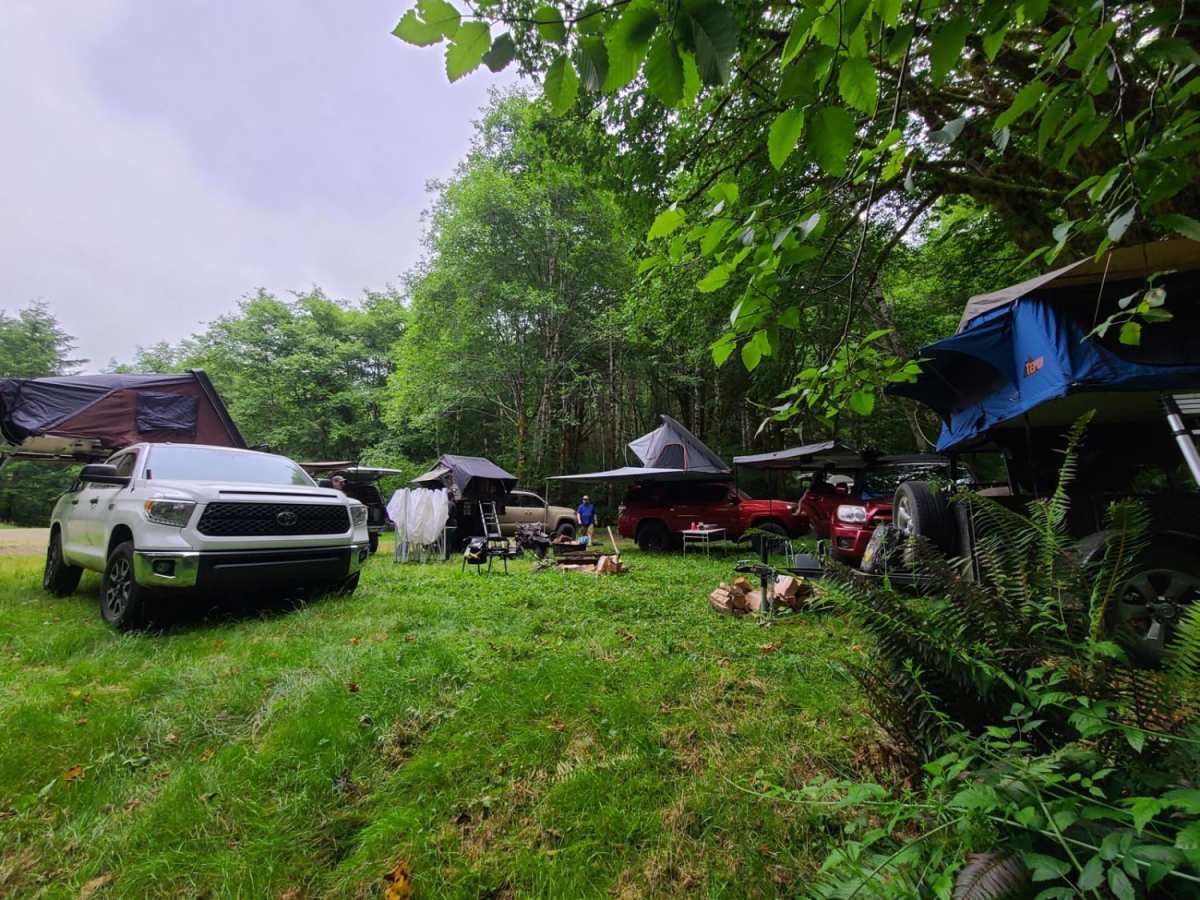
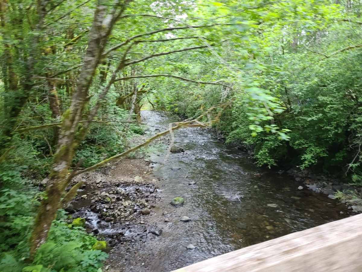
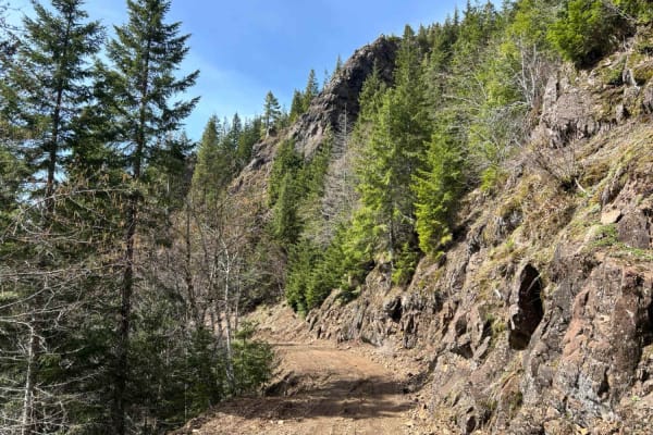
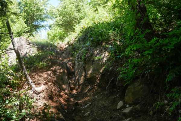
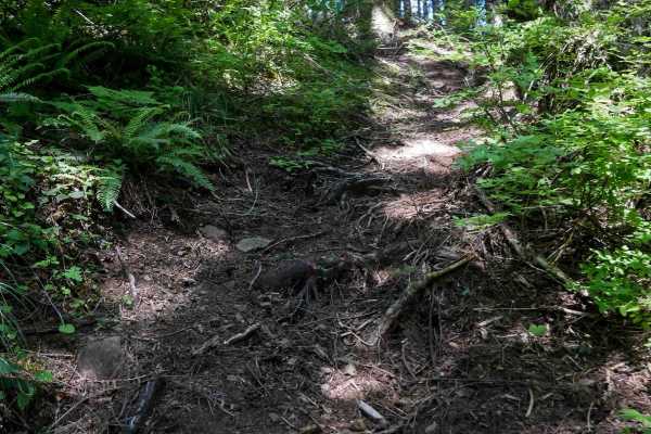
Cook Creek Road is a scenic, beginner-friendly gravel route through Oregon's Tillamook State Forest, perfect for stock SUVs, overland rigs, and scenic drivers looking to explore the coastal mountains. Spanning approximately 11.3 miles, this easy-going logging road features a primarily dirt and gravel surface with gentle gradients, making it accessible to almost any high-clearance vehicle. As travelers wind through the rainforest, the elevation ranges from 591 feet up to a maximum of 3,198 feet, offering beautiful vistas alongside some sheer cliff drop-offs. While the road is mostly smooth with a technical rating of 1, drivers should remain alert for deep potholes, occasional fallen rocks, and muddy stretches. Multiple spacious, first-come, first-served designated campsites are scattered along the route, equipped with fire pits and natural shelter from the coastal weather. There is no cellular service along the corridor. For those looking to extend their adventure, the surrounding Tillamook State Forest offers abundant side trails, fishing opportunities in the Nehalem River watershed, and access to more challenging OHV trail networks. High-clearance four-wheel-drive or all-wheel-drive vehicles are recommended.

Photos of Cook Creek Road

Difficulty

The road is solely dirt and gravel.

Technical Rating

1

Status Reports

Add Status Report
Bantha Overland
Jul 23, 2025
2021 Ford F-Series Super Duty
Open
Dusty
Well graded gravel. Can be dusty with multiple vehicles.
James Poor
May 18, 2025
2024 GAS GAS EC250
Open
Open after the clear cut
Anthony Lopez
Jan 11, 2025
Open
Normal
Went all the way around wolf’s peak. Going up was super easy but coming back down was hard on oem brakes.
Nick Meyer
Jun 30, 2024
Open
NormalDusty
Long easy trail. Multiple places to stop and take pictures. At the top at 3200 feet we thought we could see the Pacific Ocean.
Cody O'Neil
May 11, 2024
2018 Ford F-Series
Open
Normal
Michael Hains
May 04, 2024
2022 Toyota Tacoma
Open
Normal
Michael Love
Apr 02, 2024
2005 Chevrolet Astro
Open
We came in from the Tillamook side, up along the Kilches River. Road was unobstructed the entire way. Only trace amounts of snow left in the ditches. There is a washout/slide at MP 5.5 that is passable. It's been there for a year that I'm aware of. Not preventing anyone from getting by.
Magesh S
Mar 03, 2024
Obstructed
Deep Snow
We gave it a hot, but snowed in. We had to back out after trying for about 3/4th mile. In full disclosure: This was my first wheeling. I did not air down the tires (lesson learnt). But unsure even if I did, how much further I would have gone up. We did King of the Hill safely and had fun.
Nick Meyer
Jun 25, 2023
Open
NormalDusty
Kris Alexander
May 21, 2023
Open
DustyNormal

Cook Creek Road Trail can be accessed by the following ride types:

  • Single Track
  • 50 Inch
  • 60 Inch
  • High Clearance
  • Full Width

Access Description

Cook Creek Road is located within the Tillamook State Forest. There are no fees or permits required to drive the road, but standard state forestry regulations apply to camping and trail use. Cellular service is non-existent along most of the route, so offline maps are highly recommended. Drivers should remain alert for active logging vehicles and seasonal maintenance gear.

Cook Creek Road Map

The onX Offroad Difference

onX Offroad combines trail photos, descriptions, difficulty ratings, width restrictions, seasonality, and more in a user-friendly interface. Available on all devices, with offline access and full compatibility with CarPlay and Android Auto. Discover what you're missing today!

Open Trail Map