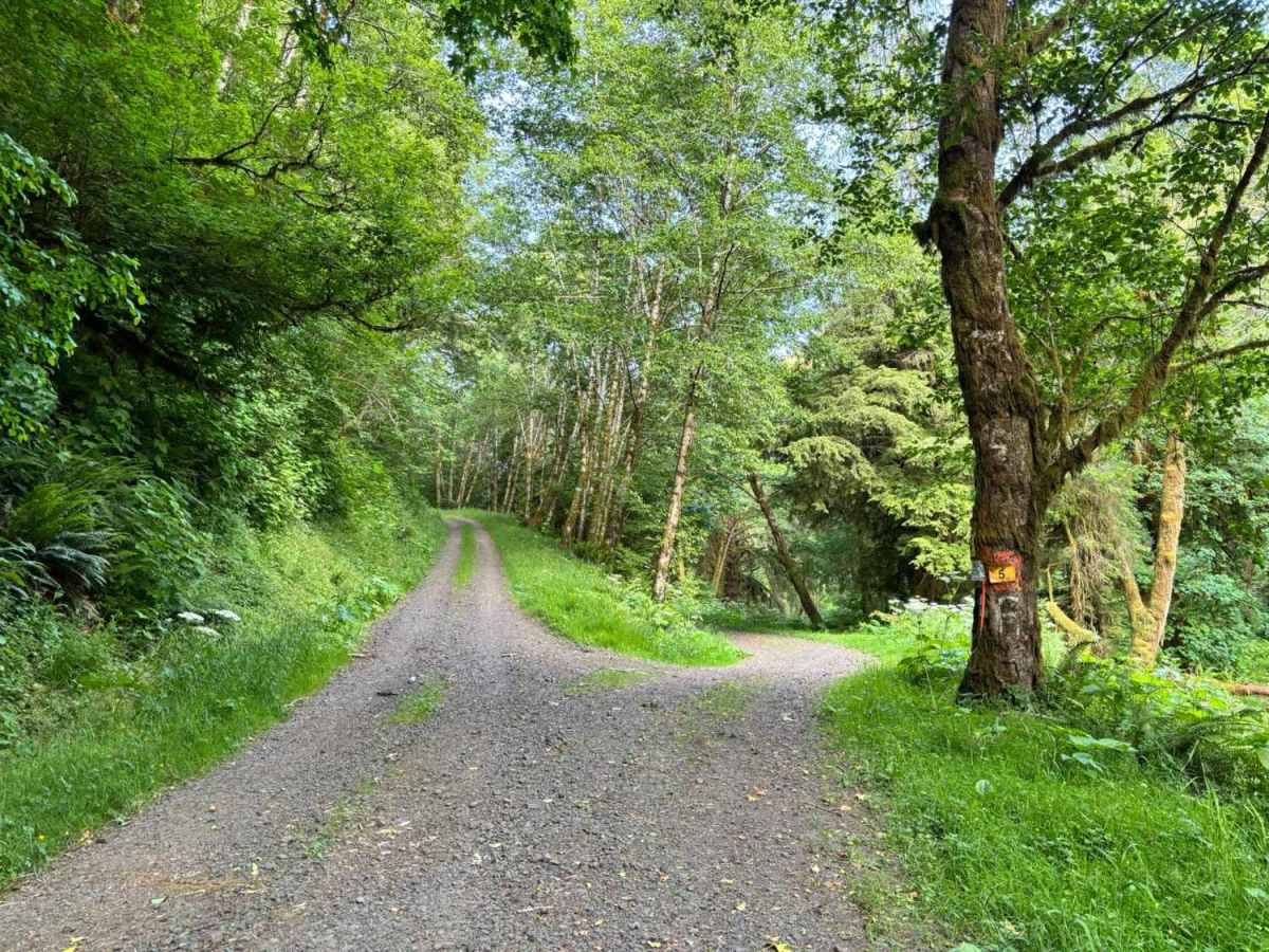
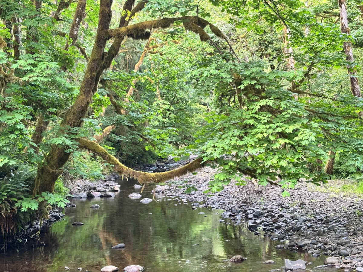
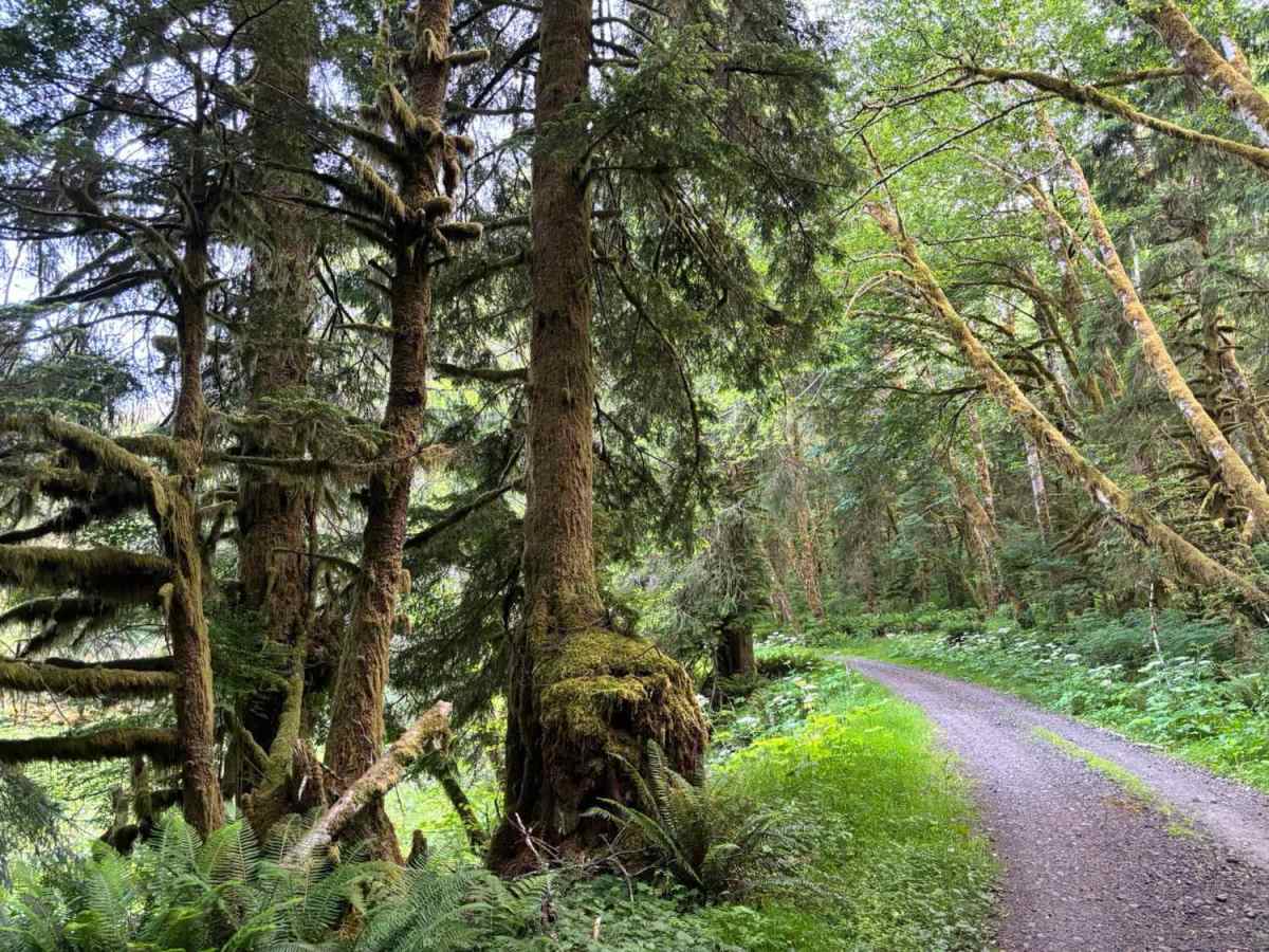
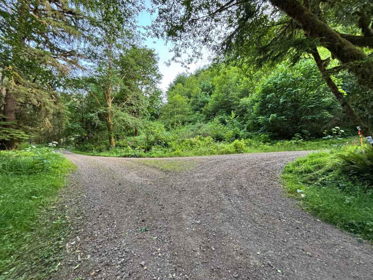
Trail Overview
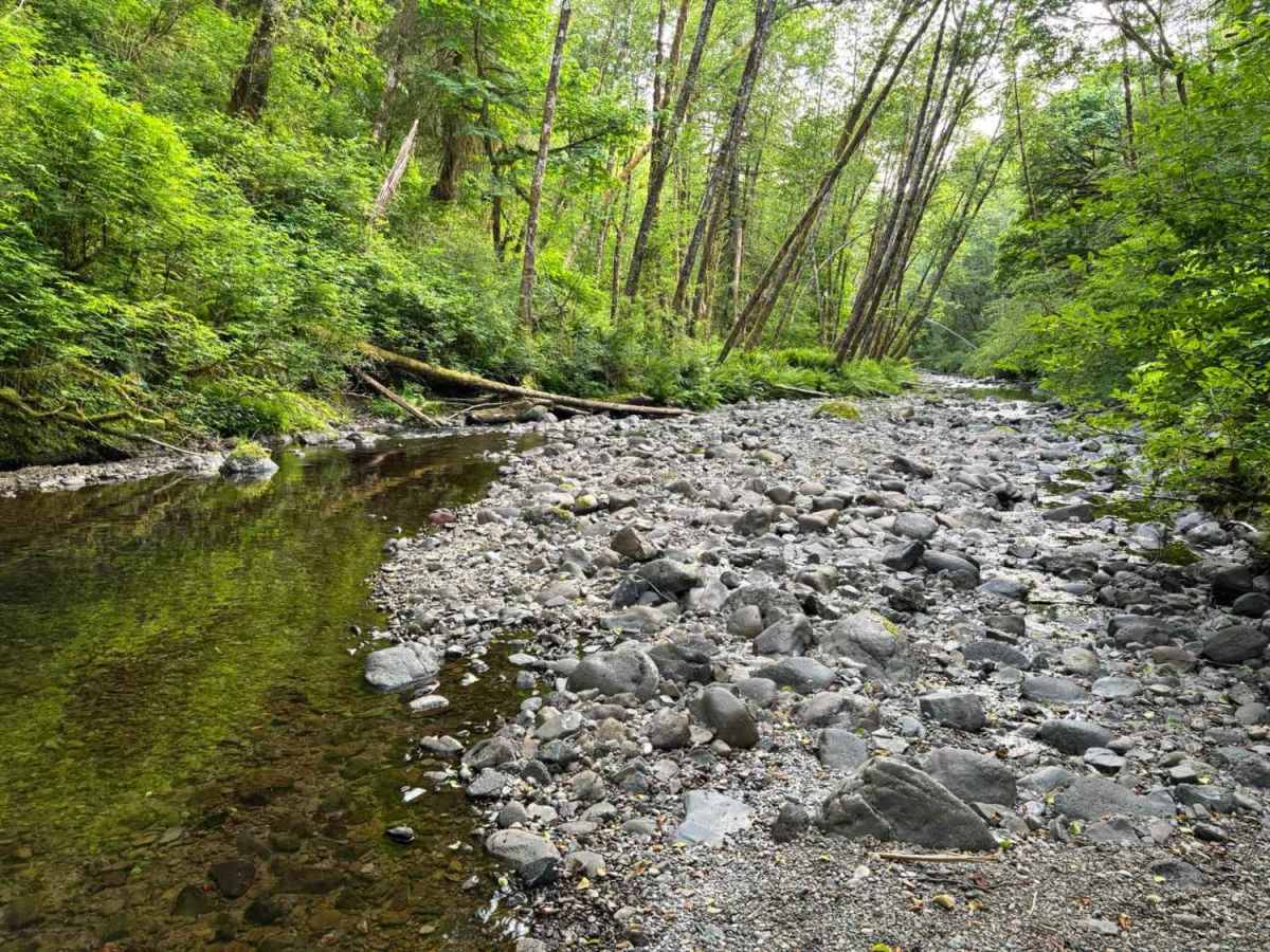
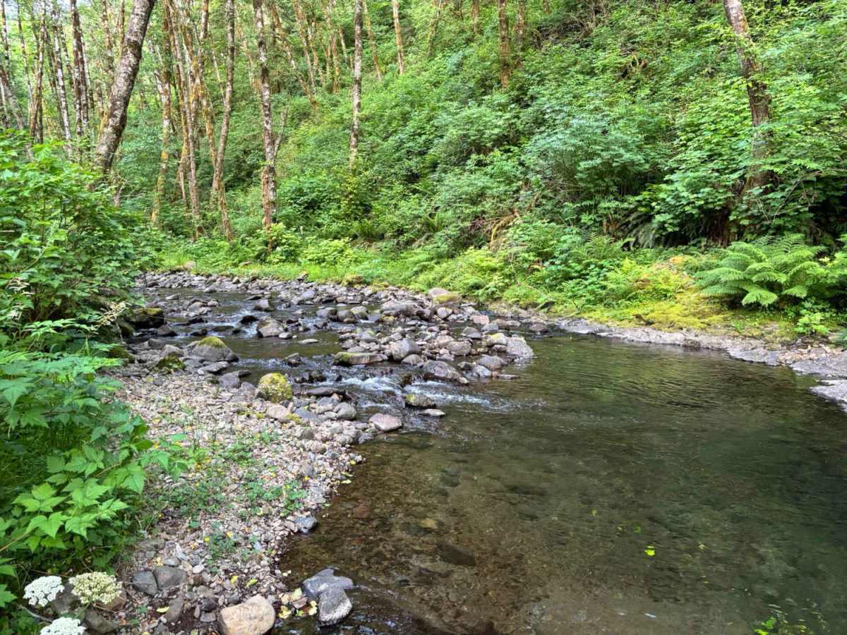
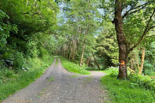
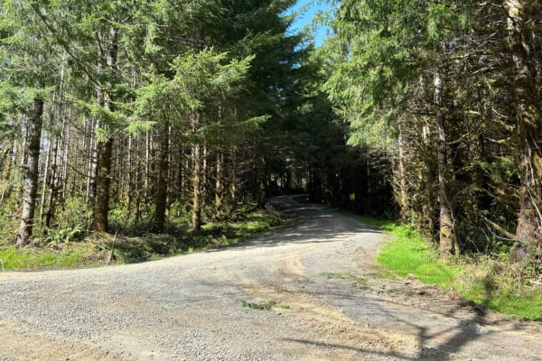
Miami River Forest Road and Frank Crane Road are a 4–6 mile gravel route through Tillamook State Forest's second-growth Douglas-fir, along the Miami River, offering year-round access for hiking, fishing, and OHV, but expect variable conditions due to over 100 inches of annual rainfall: summer/fall brings dry, well-maintained gravel with minimal mud and vibrant foliage. Note that many maps (including onXoffroad) show the road intersecting the Miami-Foley Road, but there is a locked gate.
Difficulty
The Miami River Forest Road itself (the 4–6 mile stretch that actually runs along the Miami River) is flat, low-elevation, and usually smooth-to-moderately rutted gravel year-round.
History
Established in the late 1800s (with records from 1893 confirming public status) and expanded as a logging road in the mid-20th century after devastating wildfires (1933–1951) that wiped out the original old-growth forest. The area was replanted starting in 1949 as part of Oregon's largest reforestation effort. A 1989 court decision reaffirmed it as a public road, but segments have been decommissioned for environmental reasons (e.g., 2.15 miles removed along the river in the 2010s to reduce erosion and fish habitat impacts).