Trail Overview
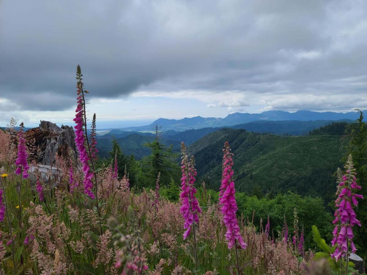
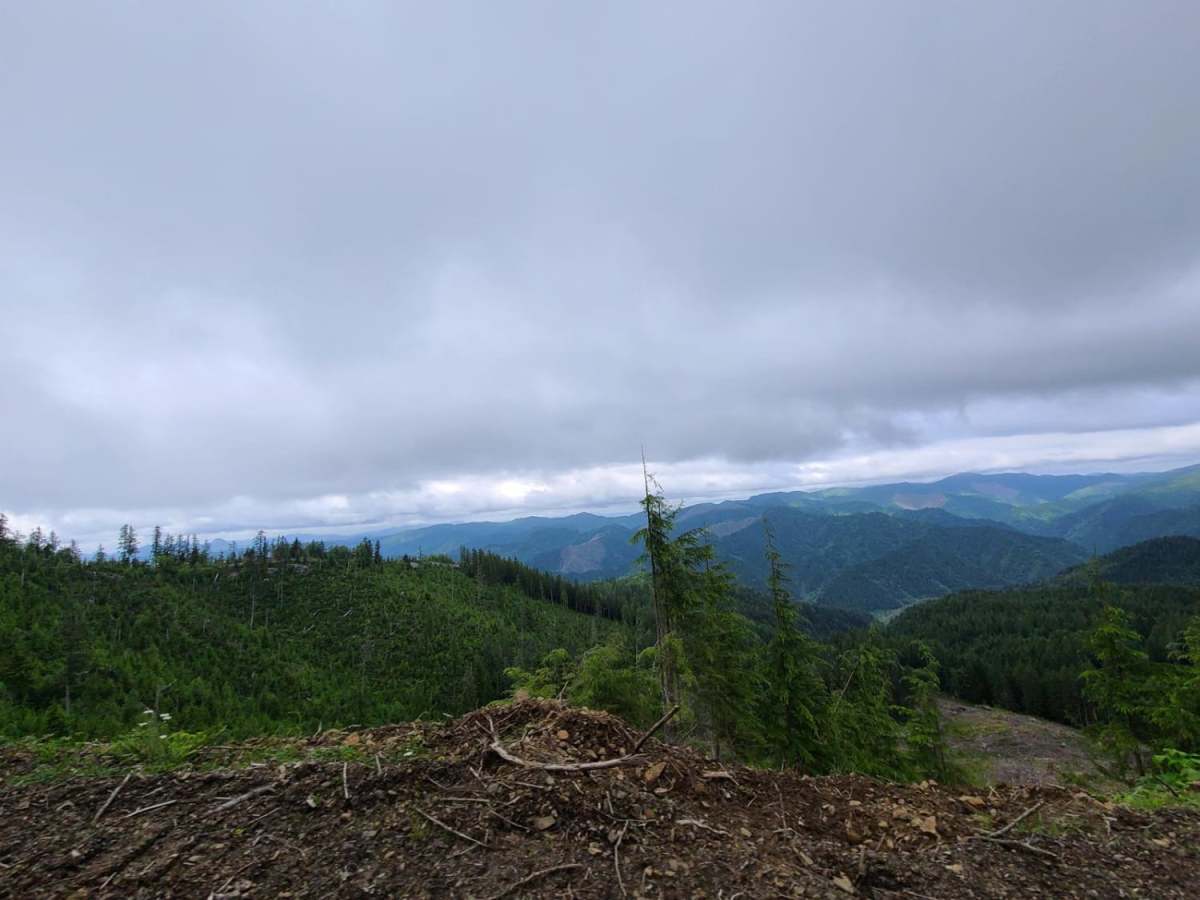
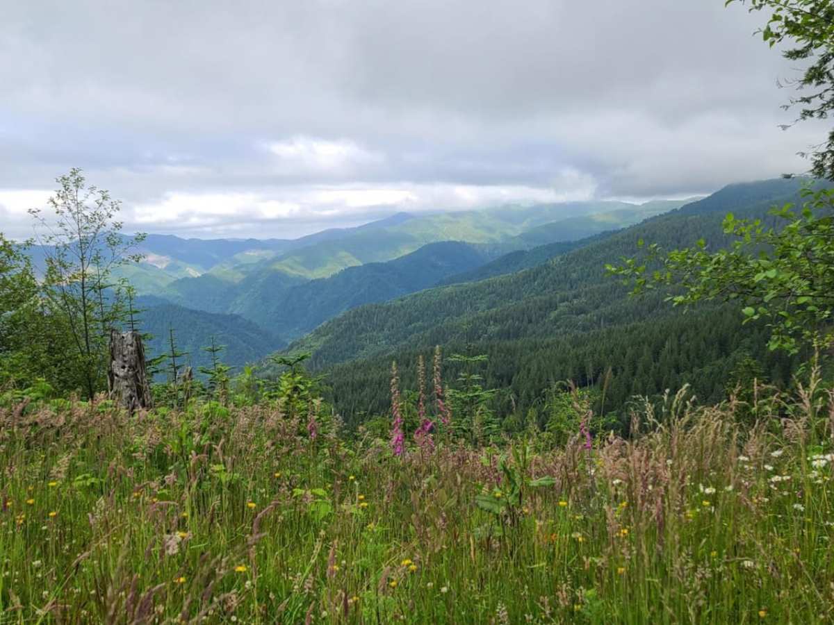
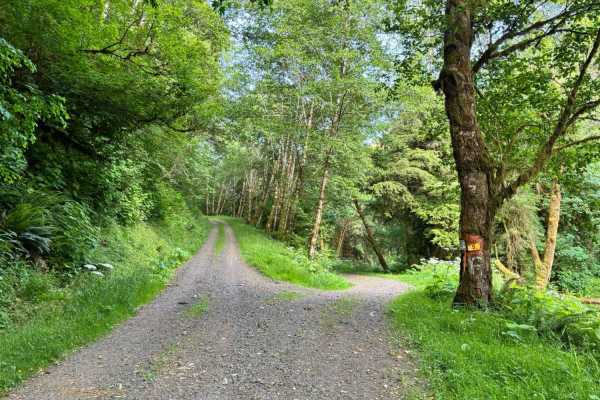
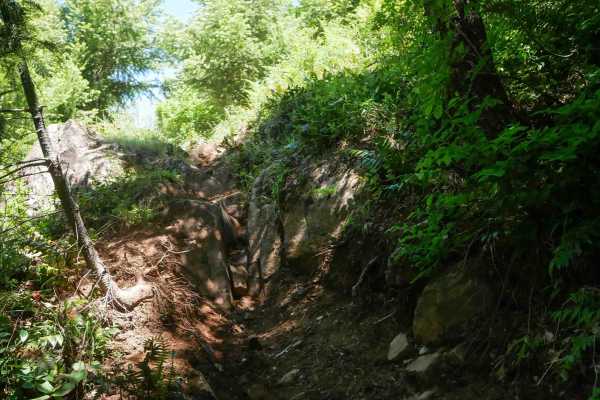
Platt Canyon Road offers a scenic and mildly challenging route through the dense forests of the Oregon Coast Range, making it an excellent option for beginners looking to test their hill-climbing abilities or experienced riders seeking a scenic connector. Branching off from Cook Creek Road in the Tillamook State Forest, this 5.3-mile unpaved trail features a mix of dirt and loose gravel that winds through the lush coastal canopy. While the road is mostly straightforward with a technical rating of 1, drivers must navigate a significant descent from a maximum elevation of 2,208 feet down to 240 feet. The trail requires a four-wheel-drive vehicle or capable high-clearance SxS, particularly to handle the steep, loose-gravel slopes that can reach pitches up to 41 degrees.
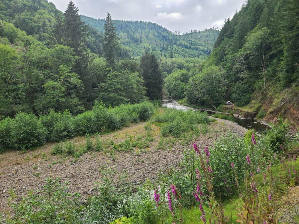
Traction can become highly compromised during the rainy season or winter months, transforming the steep ascents and descents into slick, muddy challenges that demand careful throttle control. Offroaders should remain vigilant for down tree branches and a known washout section where the trail meets Cook Creek Road at the eastern terminus. While cell service is available at the high point of the ridge, coverage drops entirely throughout the canyon, making offline maps essential for navigation. The trail terminates at Firebreak 3, allowing drivers to seamlessly transition into more challenging Tillamook State Forest OHV routes or loop back toward the main forest service roads.