
Beginner Off-Road Trails
Near Hunter, Missouri
Explore All Beginner Trails Near Hunter, Missouri
Beginner Off-Road Trails Near Hunter, Missouri
Discover the best beginner-friendly off-road trails near you. These easier, lower-rated trails are a great place to start — browse trail maps, check difficulty ratings, and find your next adventure.
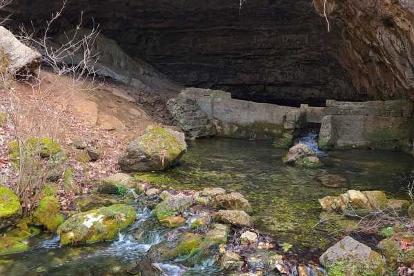
Cave Spring - NPS 105
Cave Spring Road, National Park Service 105, or Carter County 235, is a gravel road within Carter County and Ozark National Scenic Riverways land. The road leads north from Missouri Route E over small hills and elevation changes before hitting a mild uphill grade, passing a dispersed campsite area, ...
Learn more about Cave Spring - NPS 105
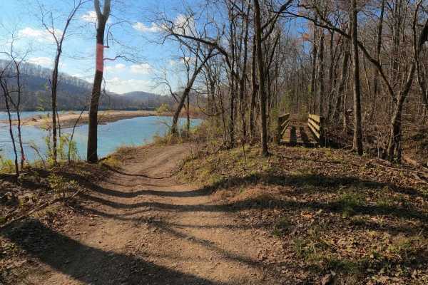
Tram - NPS 123
The Tram, National Park Service Road 123, also known as Clubhouse, or the Hillbilly's Katy Trail is a gravel and natural terrain trail within the Ozark National Scenic Riverways land. Leading alongside the Current River in Carter County, southeast of Van Buren, Missouri, the Tram follows the histori...
Learn more about Tram - NPS 123
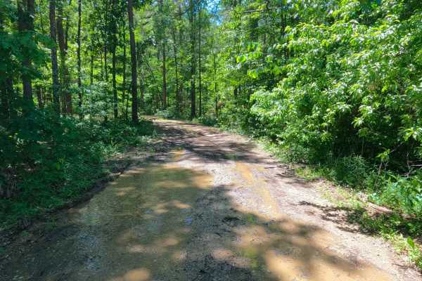
Smith Chapel - FS 3758
Smith Chapel (FS 3758) is a dirt and gravel Forest Service road within the Poplar Bluff Unit of Mark Twain National Forest. Smith Chapel begins at Carter County Road 257, heading west into the dense tree lines of the forest, splashing through a water collection spot or well-shaded wet area at the en...
Learn more about Smith Chapel - FS 3758
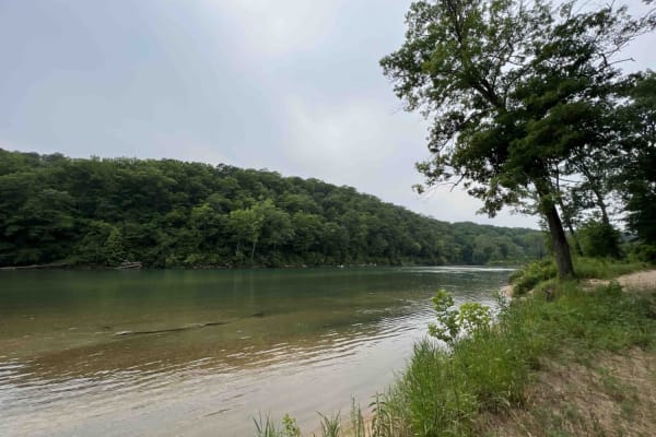
Bay Nothing Recreation Area 3140
Forest Road 3140 starts at an elevation of 748 feet and then drops to an elevation of 381 feet at the river. This route is an easy gravel road that curves through the Mark Twain National Forest which is located in Missouri. 3140 ends at the Current River which is a part of the Ozark National Scenic ...
Learn more about Bay Nothing Recreation Area 3140
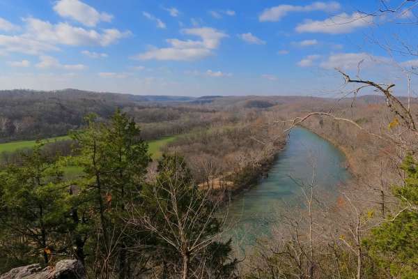
Clubhouse Bluff - CCR 221
Clubhouse Bluff or Carter County Road 221 is a low-standard coarse gravel and dirt road, passing through several agencies' land, including the Pioneer Forest, Carter County, and ending in the Ozark National Scenic Riverways. The Clubhouse Bluff begins shortly from US60, heading southwestward along t...
Learn more about Clubhouse Bluff - CCR 221
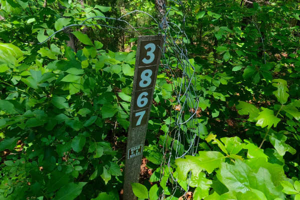
Ants - FS 3867
Ants (FS 3867) is a natural gravel and dirt road within the Poplar Bluff Unit of Mark Twain National Forest. Ants pathway leads into a lower swamp-like valley along a water runoff channel, which feeds the wet nature of the terrain that is present on this road. This includes terrain such as surface m...
Learn more about Ants - FS 3867
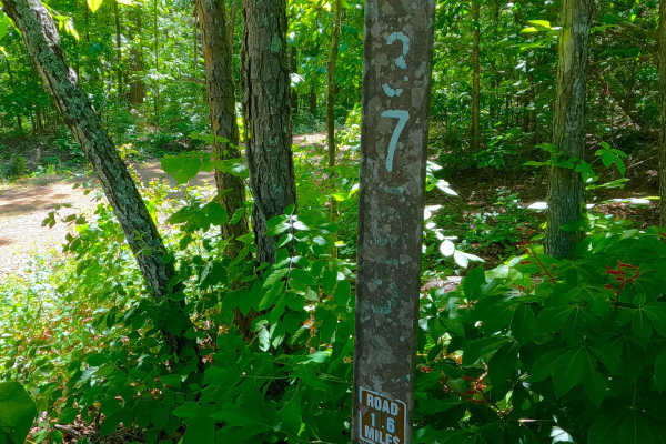
South Boundary - FS 3755
South Boundary (FS 3755) is a gravel and dirt Forest Service road within the Poplar Bluff Unit of Mark Twain National Forest. South Boundary starts heading west off Missouri Route K in Carter County, first riding to the north of a feeder branch of the Tenmile Creek, before turning south to cross the...
Learn more about South Boundary - FS 3755
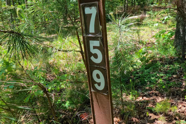
West Cane - FS 3759
West Cane (FS 3759) is a gravel Forest Service road within the Poplar Bluff Unit of Mark Twain National Forest. Starting from Carter County Road 256, heads north, going uphill from the entry, crossing mild erosion rutting of the gravel with natural rocks poking out of the surface, to climb to the ri...
Learn more about West Cane - FS 3759
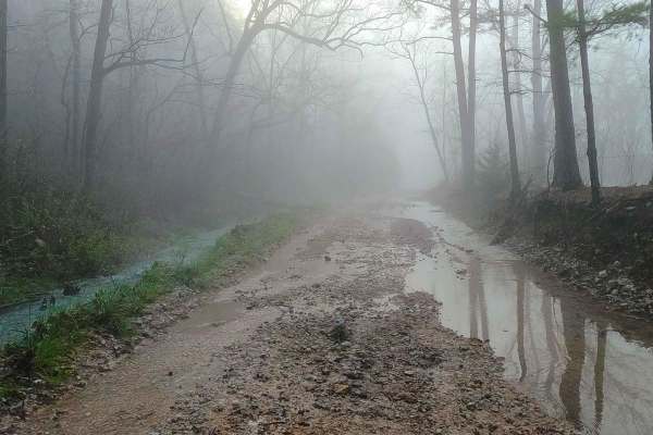
Bee Gum Ridge - CCR 209
Bee Gum Ridge, Chilton Road, or Carter County Road 209, is a coarse gravel road that crosses Carter County land, Pioneer Forest land, and ultimately leads to Ozark National Scenic Riverways Land. Bee Gum Ridge begins as a ridge-top road right off Missouri Route T, remaining elevated to this height f...
Learn more about Bee Gum Ridge - CCR 209
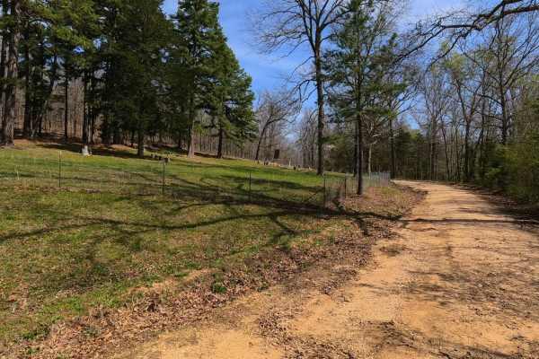
Aldrich Cemetery - CCR 205
Aldrich Cemetery, Upper Aldrich Valley Road, or Carter County Road 205 is a coarse gravel and occasional creek bottom road traversing Carter County and Pioneer Forest Land. Coming right off US-60, the Aldrich Cemetery road heads southwest before turning even more south towards the low-lying bottoms ...
Learn more about Aldrich Cemetery - CCR 205
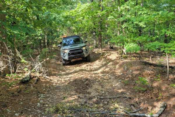
Cave Spoon
The Cave Spoon runs North to South through Mark Twain National Forest in Missouri. This trail offers dispersed campsites if chosen with creativity. There are plenty of pull-off locations in case of traffic. Fallen trees blocking the trail are likely, as well as pinstripes. This forest has spotty ser...
Learn more about Cave Spoon
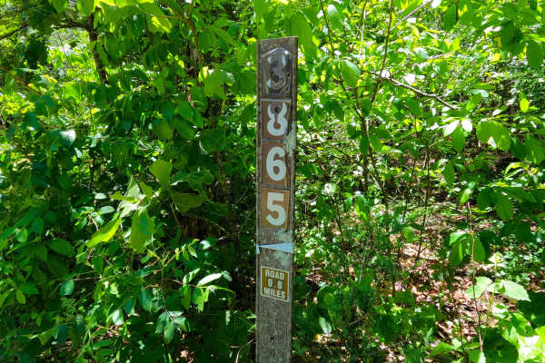
Spot - FS 3865
Spot (FS 3865) is a gravel and dirt Forest Service road within the Poplar Bluff Unit of Mark Twain National Forest. Starting from Carter County Road 256, heads south, going slightly downhill from the entry, with the terrain being based on a beaten mostly dirt road, with features of rutting, active e...
Learn more about Spot - FS 3865
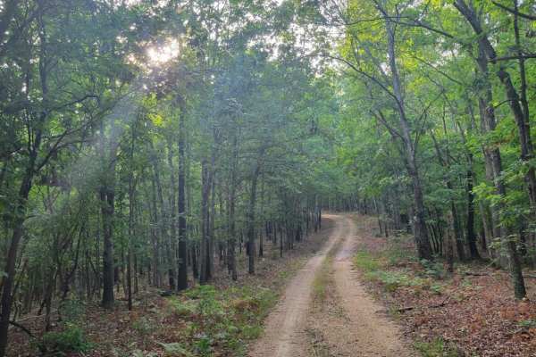
Gooseneck Trail
Gooseneck Trail is an easy and scenic unpaved route through the Mark Twain National Forest, perfect for stock SUVs and beginner offroaders looking to explore Missouri's dense woodlands. Spanning approximately 2.7 miles, this trail offers a peaceful drive with a maximum elevation of 841 feet and mild...
Learn more about Gooseneck Trail
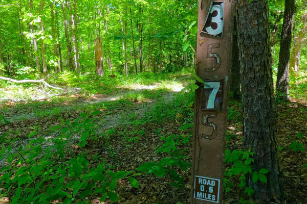
South Cane - FS 3575
South Cane (FS 3575) is a gravel Forest Service road within the Poplar Bluff Unit of Mark Twain National Forest. Starting from the westbound lanes of US-60, the road heads north, descending downhill into the dense forest foliage. The path is made up of coarse rock, crossing a small brook featuring a...
Learn more about South Cane - FS 3575
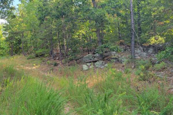
Overgrowth Spur
The Overgrowth Spur runs North to South through Mark Twain National Forest in Missouri. This trail offers dispersed campsites if chosen with creativity. There are plenty of pull-off locations in case of traffic. Fallen trees blocking the trail are likely. This forest has spotty service, so be sure t...
Learn more about Overgrowth Spur
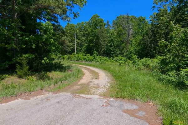
Kearney Cemetery - FS 3702
Kearney Cemetery (FS 3702), named (though misspelled) after the nearby Kearbey Cemetery, is a natural gravel and dirt road within the Poplar Bluff Unit of Mark Twain National Forest. Starting from the westbound lanes of US-60, the road first crosses the powerline tract that parallels the highway, th...
Learn more about Kearney Cemetery - FS 3702
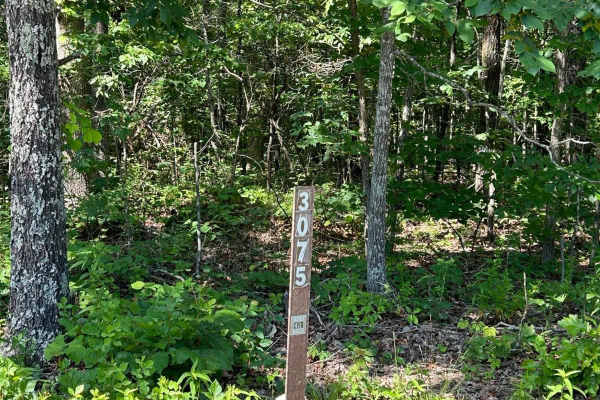
Kelly Ridge- FSR 3075
Kelly Ridge, located within the Mark Twain National Forest, is Forest Service Road 3075 located off Highway A, between Williamsville and Ellsinore. This scenic off-road trail predominantly consists of gravel and is generally well-maintained. While there are a couple of small washouts along the route...
Learn more about Kelly Ridge- FSR 3075

Pump Hollow - FS 3753
Pump Hollow (FS 3753) is a semi-maintained gravel forest service road within the Poplar Bluff Unit of Mark Twain National Forest. Starting from the eastbound lanes of US-60, the road heads south, onto the ridge that parallels the Carter and Butler county line, having mild elevation changes over reas...
Learn more about Pump Hollow - FS 3753
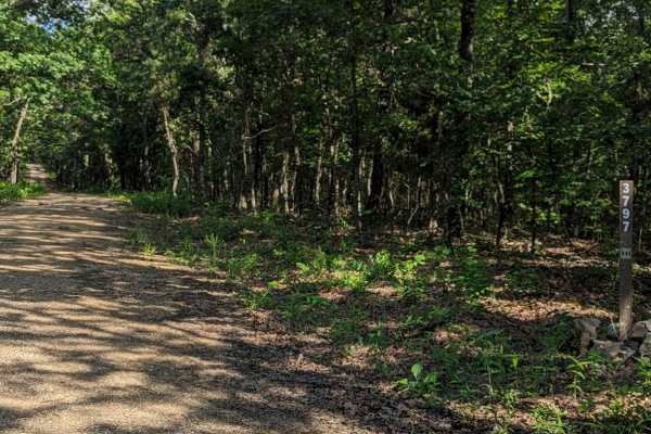
Little Brushy Ridge
Little Brushy Ridge (FSR 3797) is a forest service road branching off Kelly Ridge (FSR 3075). Initially, it is a well-maintained gravel road for the first 3/4 of the trail, suitable for all vehicle types without concern. At this point, an open area appears where the trail veers to the right. This ar...
Learn more about Little Brushy Ridge
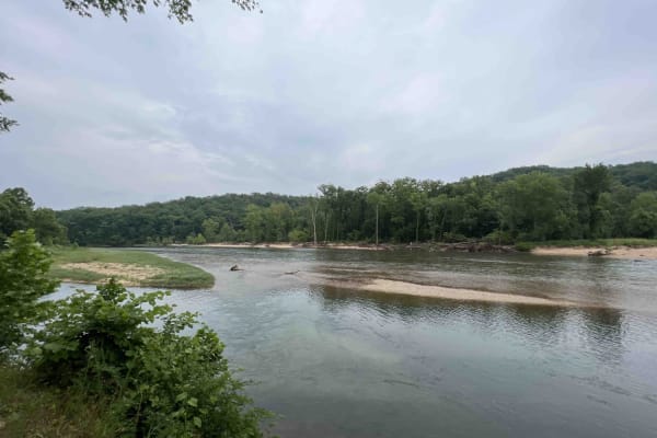
Gooseneck 3412
Gooseneck 3412 is a beautiful scenic drive along an easy gravel road that is well-maintained through the Mark Twain National Forest. This route is situated just southwest of Grandin, Missouri on the Current River in the Ozark National Scenic Riverway. This route leads to the Gooseneck Campground whe...
Learn more about Gooseneck 3412
Beginner ATV trails near Hunter, Missouri
Explore ATV-friendly trails near you. These trails are accessible for vehicles up to 50 inches wide, perfect for ATVs and smaller off-road machines.
Smith Chapel - FS 3758
Smith Chapel (FS 3758) is a dirt and gravel Forest Service road within the Poplar Bluff Unit of Mark Twain National Forest. Smith Chapel begins at Carter County Road 257, heading west into the dense tree lines of the forest, splashing through a water collection spot or well-shaded wet area at the en...
Learn more about Smith Chapel - FS 3758
Bay Nothing Recreation Area 3140
Forest Road 3140 starts at an elevation of 748 feet and then drops to an elevation of 381 feet at the river. This route is an easy gravel road that curves through the Mark Twain National Forest which is located in Missouri. 3140 ends at the Current River which is a part of the Ozark National Scenic ...
Learn more about Bay Nothing Recreation Area 3140
Ants - FS 3867
Ants (FS 3867) is a natural gravel and dirt road within the Poplar Bluff Unit of Mark Twain National Forest. Ants pathway leads into a lower swamp-like valley along a water runoff channel, which feeds the wet nature of the terrain that is present on this road. This includes terrain such as surface m...
Learn more about Ants - FS 3867
South Boundary - FS 3755
South Boundary (FS 3755) is a gravel and dirt Forest Service road within the Poplar Bluff Unit of Mark Twain National Forest. South Boundary starts heading west off Missouri Route K in Carter County, first riding to the north of a feeder branch of the Tenmile Creek, before turning south to cross the...
Learn more about South Boundary - FS 3755
Beginner UTV/side-by-side trails near Hunter, Missouri
Find UTV and side-by-side trails near you. These trails accommodate vehicles up to 60 inches wide, ideal for UTVs, side-by-sides, and wider off-road rigs.
Smith Chapel - FS 3758
Smith Chapel (FS 3758) is a dirt and gravel Forest Service road within the Poplar Bluff Unit of Mark Twain National Forest. Smith Chapel begins at Carter County Road 257, heading west into the dense tree lines of the forest, splashing through a water collection spot or well-shaded wet area at the en...
Learn more about Smith Chapel - FS 3758
Bay Nothing Recreation Area 3140
Forest Road 3140 starts at an elevation of 748 feet and then drops to an elevation of 381 feet at the river. This route is an easy gravel road that curves through the Mark Twain National Forest which is located in Missouri. 3140 ends at the Current River which is a part of the Ozark National Scenic ...
Learn more about Bay Nothing Recreation Area 3140
Ants - FS 3867
Ants (FS 3867) is a natural gravel and dirt road within the Poplar Bluff Unit of Mark Twain National Forest. Ants pathway leads into a lower swamp-like valley along a water runoff channel, which feeds the wet nature of the terrain that is present on this road. This includes terrain such as surface m...
Learn more about Ants - FS 3867
South Boundary - FS 3755
South Boundary (FS 3755) is a gravel and dirt Forest Service road within the Poplar Bluff Unit of Mark Twain National Forest. South Boundary starts heading west off Missouri Route K in Carter County, first riding to the north of a feeder branch of the Tenmile Creek, before turning south to cross the...
Learn more about South Boundary - FS 3755
The onX Offroad Difference
onX Offroad combines trail photos, descriptions, difficulty ratings, width restrictions, seasonality, and more in a user-friendly interface. Available on all devices, with offline access and full compatibility with CarPlay and Android Auto. Discover what you're missing today!
Open Trail Map