
Beginner Off-Road Trails
Near Hartshorne, Oklahoma
Explore All Beginner Trails Near Hartshorne, Oklahoma
Beginner Off-Road Trails Near Hartshorne, Oklahoma
Discover the best beginner-friendly off-road trails near you. These easier, lower-rated trails are a great place to start — browse trail maps, check difficulty ratings, and find your next adventure.
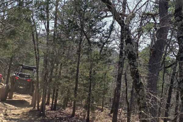
Lookout Access Trail
This is an easy way up the mountain for rigs of all sizes. There are some great lookout areas off the side of this mountain. Watch for wildlife while headed up; you never know when you might see a bear. Also, this is a great way for spectating friends coming up the more difficult trails.
Learn more about Lookout Access Trail
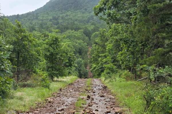
West Boundry Trail
The dirt trail runs parallel to the boundary fence of a private land parcel in rural Oklahoma, cutting through a mix of open prairie and lightly wooded areas. The trail itself is about 8 to 10 feet wide, composed of compacted red clay and loose gravel, with patches of grass and sand depending on rec...
Learn more about West Boundry Trail
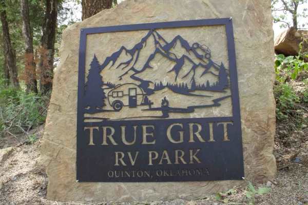
True Grit Lane
True Grit RV Park is a great place to stay if you need RV hookups. The road between the RV park and off-road park is paved, so don't worry about wearing out those sticky tires. Remember, people live on this road also, so please slow down to 10 miles per hour when in sight of houses and be courteous ...
Learn more about True Grit Lane
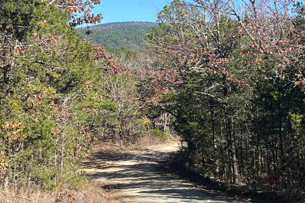
Muse
This is an easy and well maintained gravel road that cuts through the Quachita Wildlife Management Area near Muse, Oklahoma. Can be traveled in either direction, and you can access other activities along this route, like hunting, camping, and other off-road routes. Erosion can be an issue in some sp...
Learn more about Muse
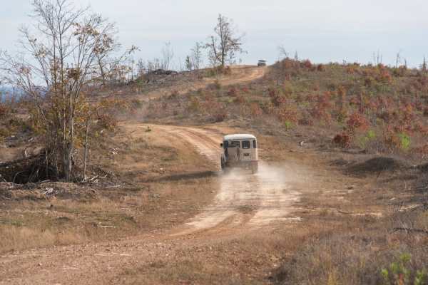
Honobia Creek Scenic Route
This is a 36-mile unpaved trail offering hilltop views. This series of forestry roads wind through the Honobia Creek Wildlife Management Area in southeast Oklahoma. Start off of Indian Route 144 at north entrance, the route loops back and crosses 144, and ends at several campsites. Scenery is superb...
Learn more about Honobia Creek Scenic Route
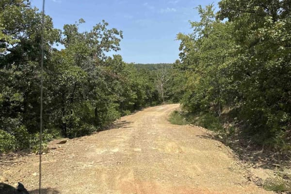
Lake Eufaula
This route is a mix of maintained gravel roads to Level B, non-maintained gravel roads. The trail is easy when dry but has multiple flash flood warnings so we would not recommend after/during rain. We did travel into CORPS of ENGINEERS land, which was marked as a road, but it quickly became swampy a...
Learn more about Lake Eufaula
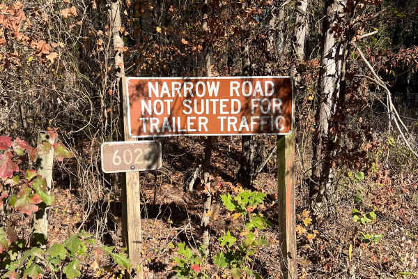
Lenox Ridge Road
Lenox Ridge Road is a mountain road that runs through the Quachita National Forest from Billy Creek campground to Oklahoma scenic Highway 1. The road is maintained with dirt and gravel, and signs are posted at each end advising against traveling it with trailers. There are a couple of nice campsites...
Learn more about Lenox Ridge Road
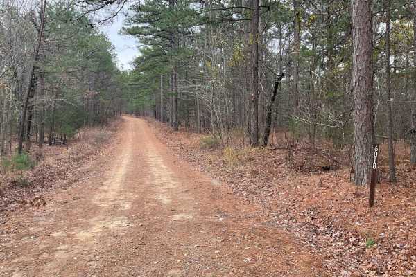
Tram Ridge Trail
Tram Ridge, also known as Forest Service Road 6018, is a scenic trail nestled in the Ouachita National Forest. Historically, the area is rich in natural beauty and has been a site for outdoor enthusiasts for generations. The trail is relatively easy, accessible to most vehicles, and is known for its...
Learn more about Tram Ridge Trail
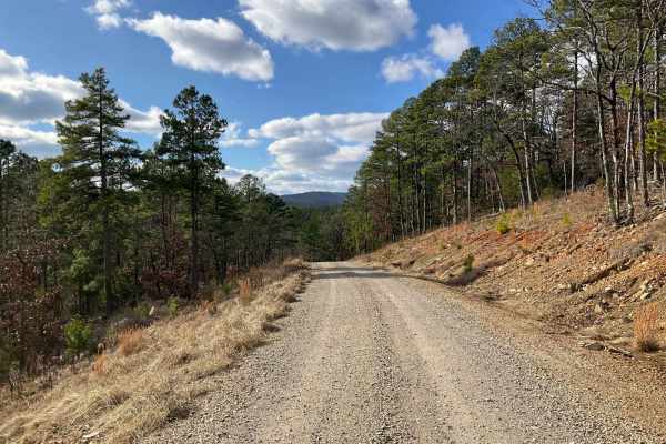
West Kelly (A45)
Forest Service Trail A45, affectionately known as West Kelly Trail, is a captivating journey through the dense, lush forests of the Ouachita National Forest in southeastern Oklahoma. Situated just north of the majestic Winding Stair Mountains, the trail is primarily a gravel road, accessible to most...
Learn more about West Kelly (A45)
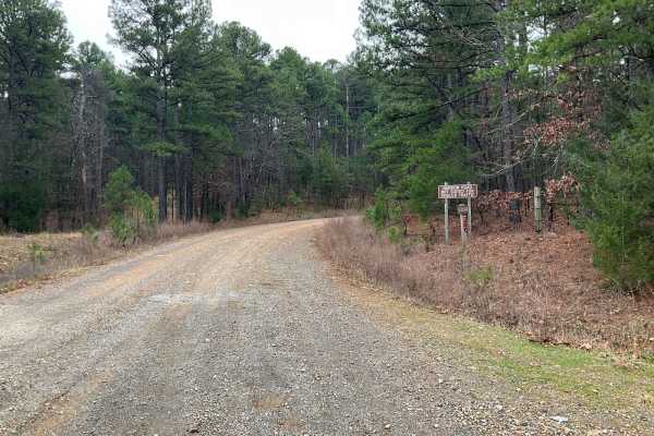
Tall Cedar Trail
"Tall Cedar," also known as Forest Service Road 6014, is a scenic passage nestled in the lush expanses of Le Flore County, Oklahoma, within the Ouachita National Forest. This 2.5-mile trail is an easy traverse, favored for its all-gravel and wide path, making it accessible to many. As it meanders up...
Learn more about Tall Cedar Trail
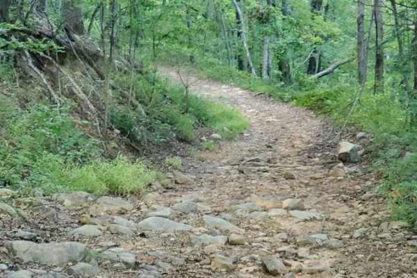
Little Cedar Bounce
Little Cedar Bounce offers an exciting and rugged challenge for high-clearance four-wheel-drive vehicles and SxSs looking to explore the dense forests of the Ouachita Wildlife Management Area. Spanning approximately 6.5 miles, this narrow, slow-going route requires careful tire placement and a stead...
Learn more about Little Cedar Bounce
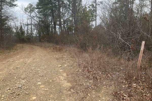
Upper Tram Trail
Upper Tram Trail, known locally as A52, is a picturesque trail set in the heart of the Ouachita National Forest. This trail is steeped in the area's rich history and offers an accessible route suitable for most vehicles. The journey along A52 is marked by mild ascents and descents as it follows the ...
Learn more about Upper Tram Trail
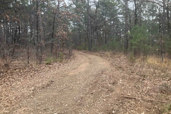
Tower Trail
The Tower Trail, also known as Forest Service A55A, is a concise and adventurous path in the Ouachita National Forest. Spanning only about 1.5 miles, this trail is relatively short but offers a unique journey as it ends in a large clearing, marked by a notable communications tower. Recently carved o...
Learn more about Tower Trail
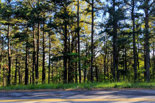
Page Smithville Route: OHV Trail 6007
Located off Highway 59 at the northeastern end and accessible via the Talimena Scenic Drive at the southwestern side, the Page Smithville route, also recognized as OHV trail 6007, offers an extraordinary off-road experience. This trail spans a diverse landscape with remarkable elevation changes as i...
Learn more about Page Smithville Route: OHV Trail 6007
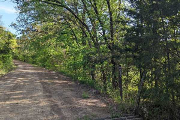
McMurtery Hollow
Nestled in the heart of the Ouachita Forest, this 6.8-mile OHV trail offers a dynamic off-road experience, perfect for enthusiasts looking to immerse themselves in nature. As you navigate the varied terrain, you're surrounded by the rich biodiversity of the Ouachita ecosystem. The trail is shaded by...
Learn more about McMurtery Hollow
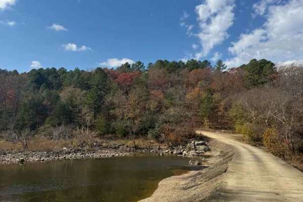
Jones Ranch Trail
Easy route that crossed the Glover River. This could be washed out with heavy rain and become muddy. Otherwise, this is a nice connection to other trails, or even a back way to bypass Broken Bow on your way home. No camping options available on this trail.
Learn more about Jones Ranch Trail
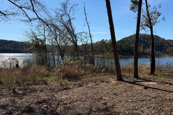
Johnny Beavers Trail to Holly Creek Landing
This wonderful trailt is very scenic and runs through some locally owned areas and some with pine plantations. It eventually ends in a national forest area and on Oklahoma Wildlife Department land when you get near the Mountain Fork River--well-maintained roads in places. Beware of the open yellow g...
Learn more about Johnny Beavers Trail to Holly Creek Landing
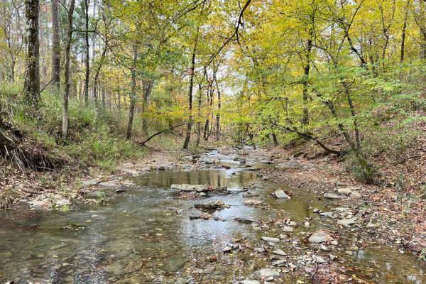
Glover River Camp Route
This trail links a few different forest roads together to end at an amazing open camp area with room for several rigs and easy access to the glover river. It has several small water crossings and minor obstacles. Some of the trail is very tight, and most of it is slow rolling. It has amazing views ...
Learn more about Glover River Camp Route
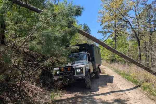
53250
This off-road trail winds through a dense forest, revealing a narrow track that shows signs of limited upkeep, particularly through overgrowth and numerous muddy, rock-bottomed holes often present during April. Several off-camber stretches and areas of water damage add challenges, alongside a few mo...
Learn more about 53250
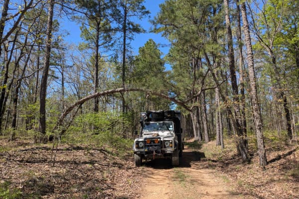
53350
This off-road trail presents a rugged challenge with its rocky surface that gradually narrows while becoming off-camber, showing clear signs of water damage. In several areas, the forest is encroaching on the path, increasing the risk of pinstriping, and fallen trees are scattered along the route. N...
Learn more about 53350
Beginner ATV trails near Hartshorne, Oklahoma
Explore ATV-friendly trails near you. These trails are accessible for vehicles up to 50 inches wide, perfect for ATVs and smaller off-road machines.
West Boundry Trail
The dirt trail runs parallel to the boundary fence of a private land parcel in rural Oklahoma, cutting through a mix of open prairie and lightly wooded areas. The trail itself is about 8 to 10 feet wide, composed of compacted red clay and loose gravel, with patches of grass and sand depending on rec...
Learn more about West Boundry Trail
Muse
This is an easy and well maintained gravel road that cuts through the Quachita Wildlife Management Area near Muse, Oklahoma. Can be traveled in either direction, and you can access other activities along this route, like hunting, camping, and other off-road routes. Erosion can be an issue in some sp...
Learn more about Muse
Honobia Creek Scenic Route
This is a 36-mile unpaved trail offering hilltop views. This series of forestry roads wind through the Honobia Creek Wildlife Management Area in southeast Oklahoma. Start off of Indian Route 144 at north entrance, the route loops back and crosses 144, and ends at several campsites. Scenery is superb...
Learn more about Honobia Creek Scenic Route
Lenox Ridge Road
Lenox Ridge Road is a mountain road that runs through the Quachita National Forest from Billy Creek campground to Oklahoma scenic Highway 1. The road is maintained with dirt and gravel, and signs are posted at each end advising against traveling it with trailers. There are a couple of nice campsites...
Learn more about Lenox Ridge Road
Beginner UTV/side-by-side trails near Hartshorne, Oklahoma
Find UTV and side-by-side trails near you. These trails accommodate vehicles up to 60 inches wide, ideal for UTVs, side-by-sides, and wider off-road rigs.
West Boundry Trail
The dirt trail runs parallel to the boundary fence of a private land parcel in rural Oklahoma, cutting through a mix of open prairie and lightly wooded areas. The trail itself is about 8 to 10 feet wide, composed of compacted red clay and loose gravel, with patches of grass and sand depending on rec...
Learn more about West Boundry Trail
Muse
This is an easy and well maintained gravel road that cuts through the Quachita Wildlife Management Area near Muse, Oklahoma. Can be traveled in either direction, and you can access other activities along this route, like hunting, camping, and other off-road routes. Erosion can be an issue in some sp...
Learn more about Muse
Honobia Creek Scenic Route
This is a 36-mile unpaved trail offering hilltop views. This series of forestry roads wind through the Honobia Creek Wildlife Management Area in southeast Oklahoma. Start off of Indian Route 144 at north entrance, the route loops back and crosses 144, and ends at several campsites. Scenery is superb...
Learn more about Honobia Creek Scenic Route
Lenox Ridge Road
Lenox Ridge Road is a mountain road that runs through the Quachita National Forest from Billy Creek campground to Oklahoma scenic Highway 1. The road is maintained with dirt and gravel, and signs are posted at each end advising against traveling it with trailers. There are a couple of nice campsites...
Learn more about Lenox Ridge Road
The onX Offroad Difference
onX Offroad combines trail photos, descriptions, difficulty ratings, width restrictions, seasonality, and more in a user-friendly interface. Available on all devices, with offline access and full compatibility with CarPlay and Android Auto. Discover what you're missing today!
Open Trail Map