Lynnley Sawyer
Oct 17, 2025
Open
Please be careful with this trail! If the game warden catches you riding you will get a ticket. Only use of vehicles allowed are to and from your deer stand and under 700cc’s.
Michael Tucker
Oct 08, 2025
Open
Normal
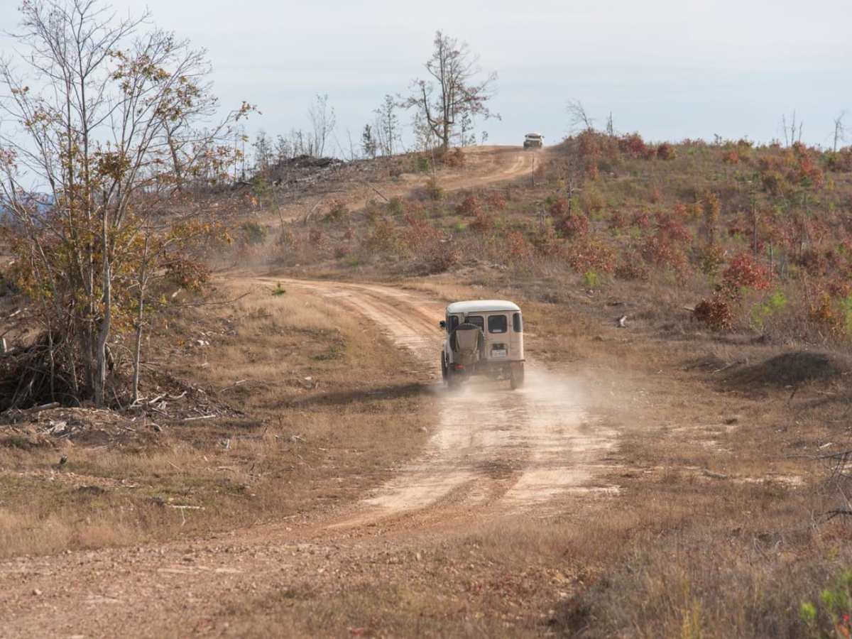
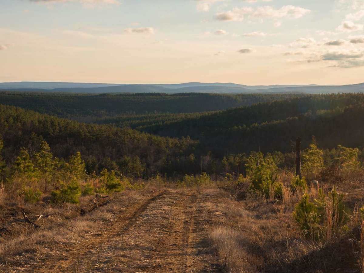
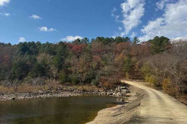
This trail was 90% gravel and 10% soft dirt and wide enough to avoid pin striping. It offered several steep inclines and declines depending on your direction of travel, and a handful of technical areas to pay attention to due to minor ruts and obstacles. Several scenic overlooks of the Ouchita Mountains made this roughly two-hour trail absolutely worth the trip.
Dallon McKay
Jul 13, 2025
2023 Jeep Wrangler
Obstructed
Impassable Water Crossing
Road was completely under water with an entire river going over it at the East Creak crossing on the far West side. Several other water crossing on the East side we did not attempt due to the speed of the water. Was unable to complete either side of the loop. Still worth doing what you can for the spectacular views.
blaze fuller
May 23, 2025
Open
NormalDustyMuddy/Wet
Kim Roe
Feb 25, 2025
Obstructed
Washout
A tractor trailer blocked the trail. Path around the trail was deep mud. Behind the trailer was a large muddy water puddle with a 5’ steep muddy climb behind the puddle
Brian Bownds
Jan 08, 2025
2024 Jeep Wrangler
Open
DustyRough/Deteriorated
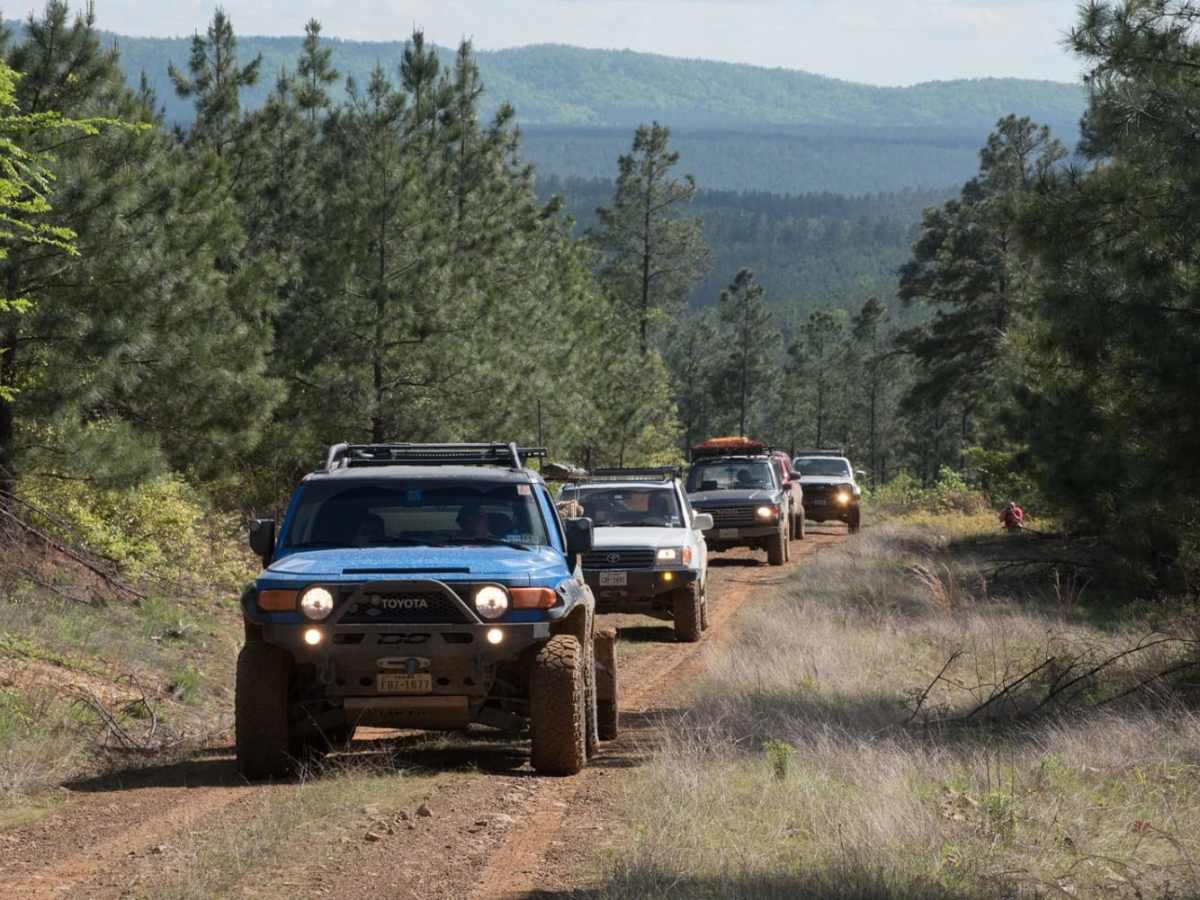
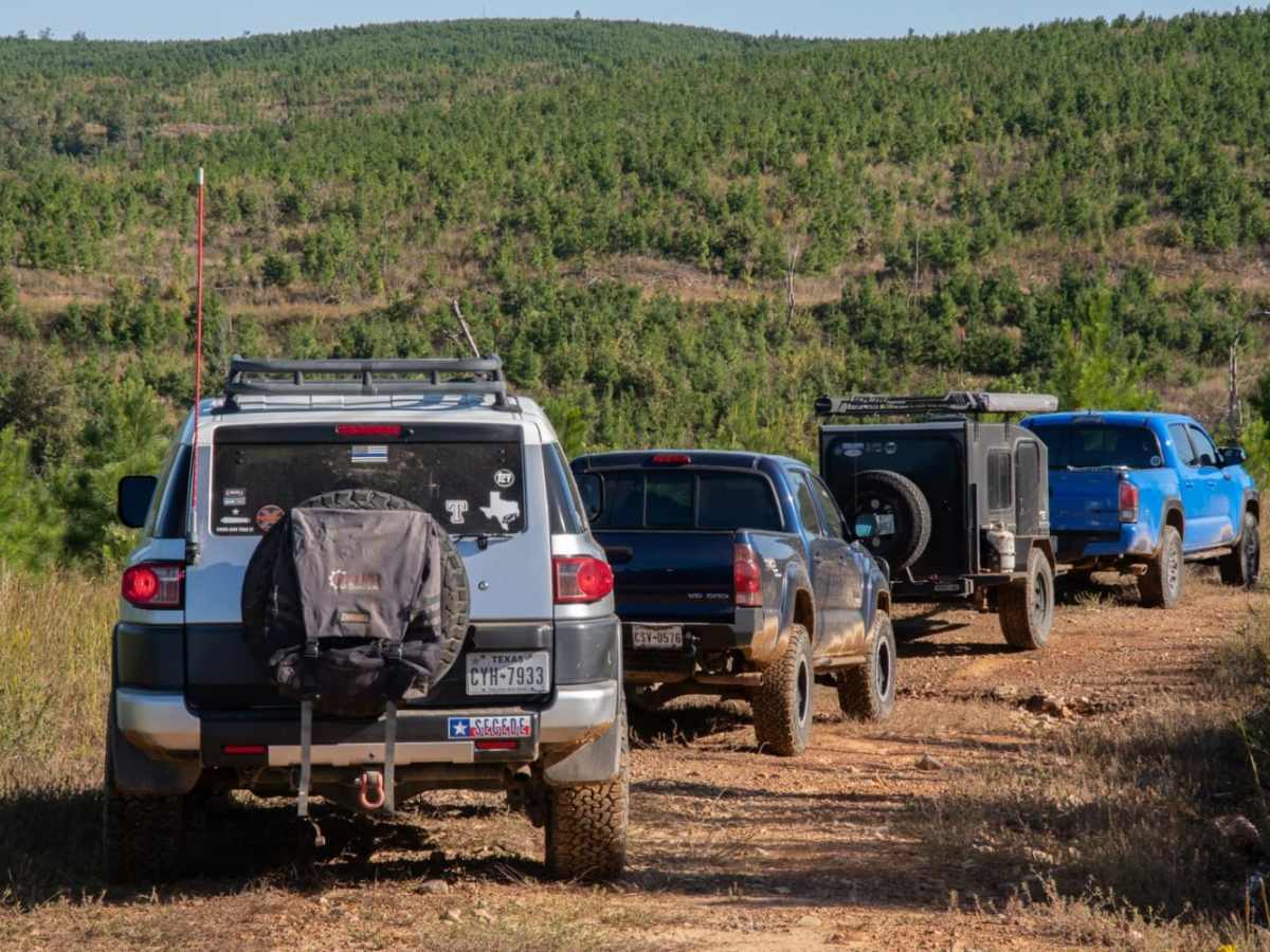
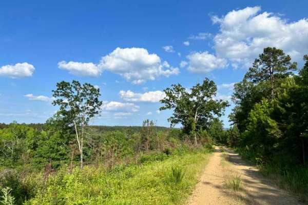
Ran the trail east of Indian Route 144 mid day. Did the entire route in 2 wheel drive without any difficulty. If it was wet, it would increase difficulty. Only problem today was having to wait for logging trucks blocking the route. They were all nice and moved over as soon as they had a chance so I could get by, so no complaints. The route winds through the forest and over hills and into valleys offering some spectacular views of the countryside. It also offers views of areas stripped of trees from the logging. Good to see reforestation taking place as well. Overall, a fun trail.
Jon Bennett
Sep 01, 2024
2011 GMC Sierra
Open
Normal
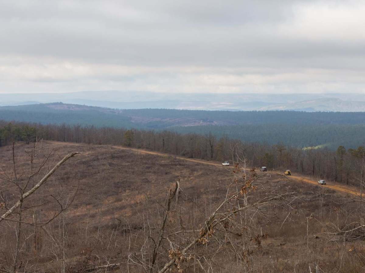
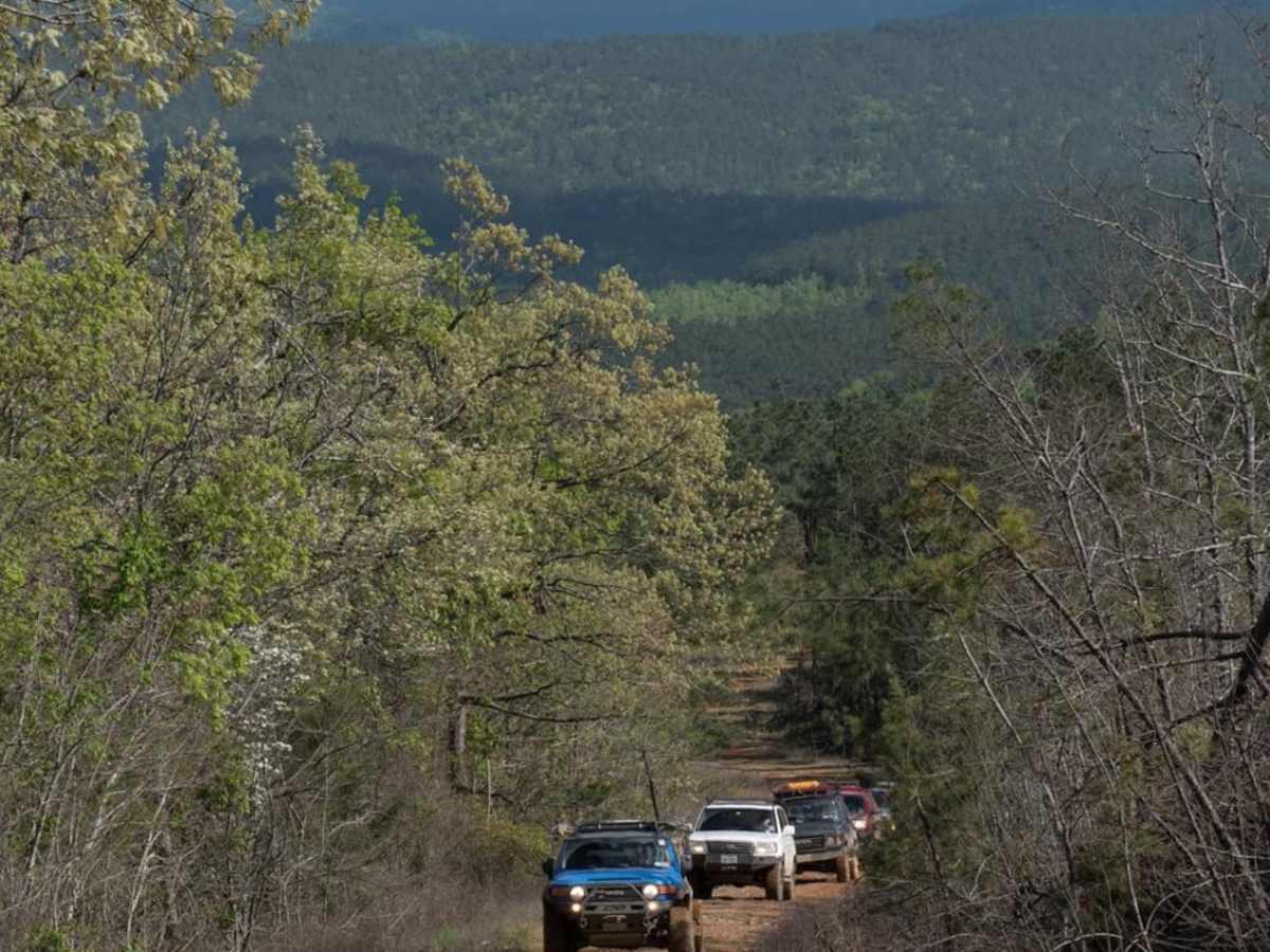
Nice weather, rained sporadically throughout the afternoon, just enough to keep the dust down. We took a few nice side quests and saw some exceptional views, but parts of the forest are cut by a paper mill, so there are some uglier ones, too. We thought that the road was decently maintained, in fact, there was a grader next to the road. Closest gas is in Hochatown, there’s no cell service, and it’s reasonable to assume that you won’t see anyone else once you’ve left the pavement. On our way out, we ran across a couple who’d had a puncture and a bad valve stem on the spare. Make sure that your rig is reliable, you’ve got gas, a spare, tools, etc. We had an enjoyable afternoon, it was worth the long drive to and from.
Tim Williams
Jul 05, 2024
2021 Jeep Grand Cherokee
Open
NormalDustyWashboard
Dusty, some rough places, no issues for the grand cherokee. Saw deer but no bigfoot. Great time. Thanks.
Michael McCulloch
Jun 05, 2024
Open
Muddy/WetRough/Deteriorated
This trail would be a 2 when dry. It was definitely not dry today. Sending it in 4-high seems to be the only thing keeping us from a recovery in about half a dozen locations. Great views up top.
Preston Davis
Jun 02, 2024
2024 Subaru Outback
Open
Normal
Some places were muddy but for the most part pretty dry. Nice trail with great views
Thomas Bogowitz
Apr 26, 2024
2021 Ford F-Series
Open
Muddy/Wet
Very wet conditions. A few muddy places but an extremely easy trail that should not have been rated a 3. Absolutely needed the trail map as there was numerous side forest trails that could also get you lost.
Robert Gray
Feb 10, 2024
Open
Muddy/Wet
Great overall trail. Lots of rain and water flowing. A little discouraged going in due to timber has been cut at South entrance. Cut over to north side and scenery was better. All in all a great trip.
Mark Dobbs
May 27, 2023
Open
Normal