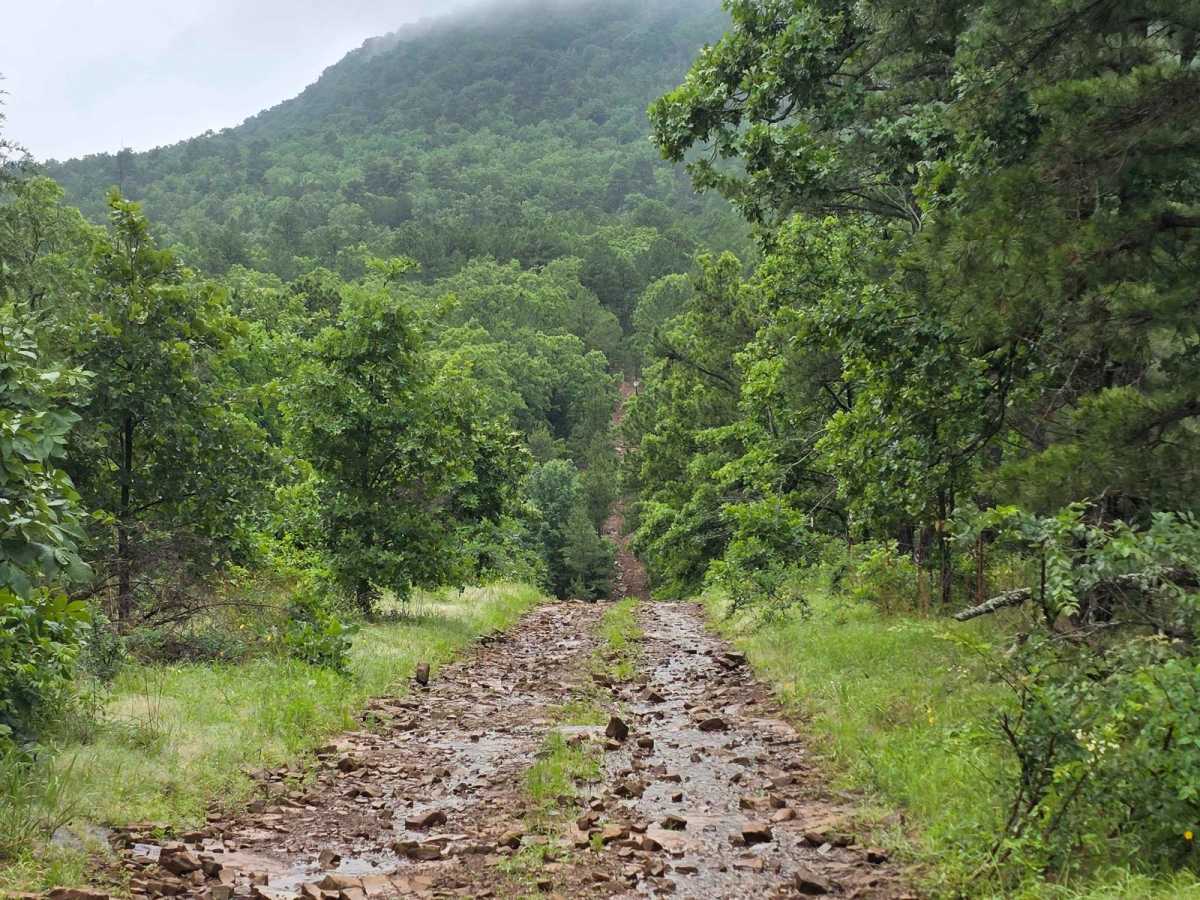
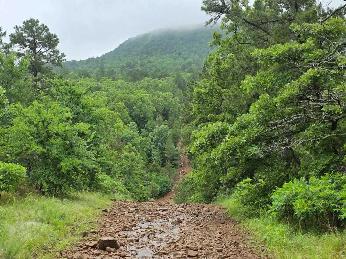
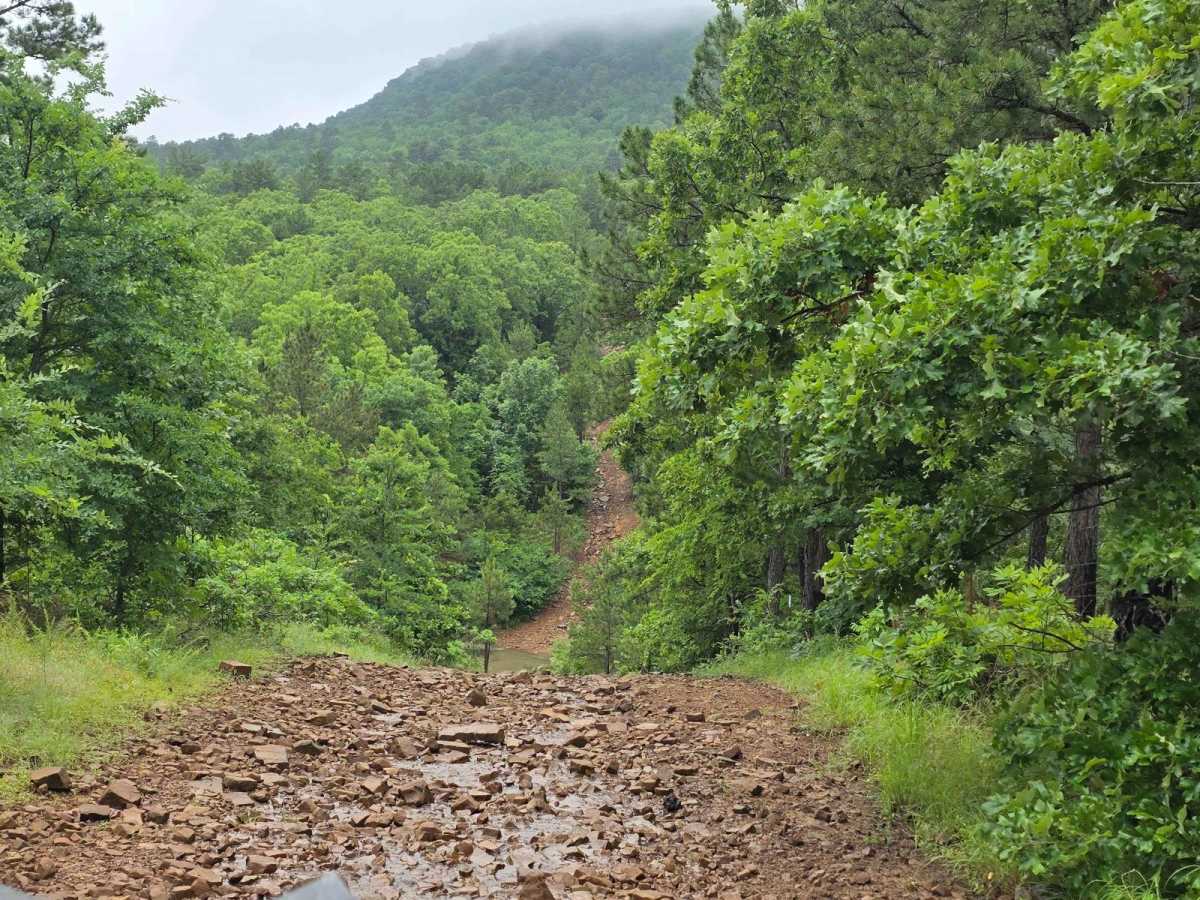
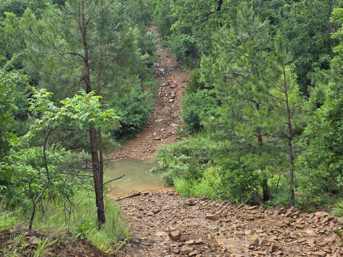
Trail Overview
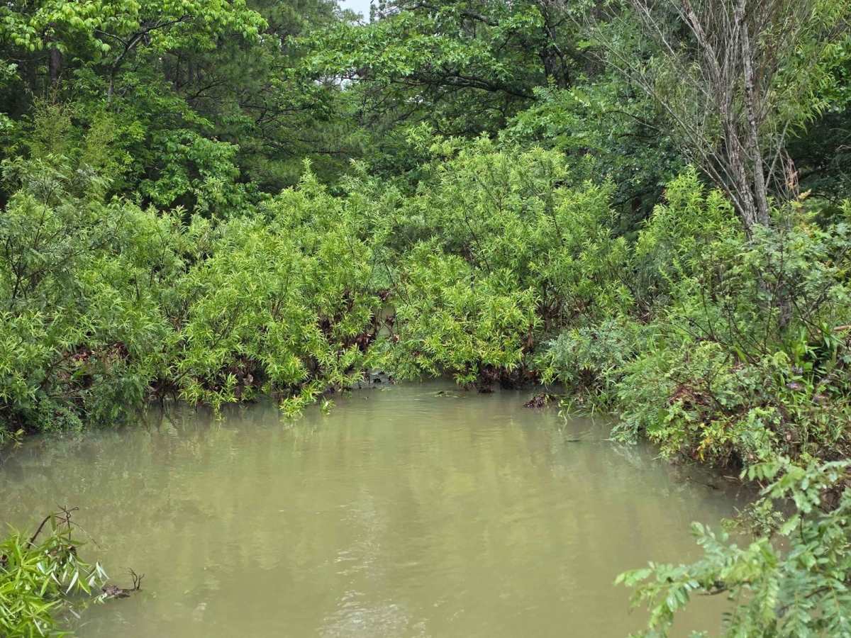
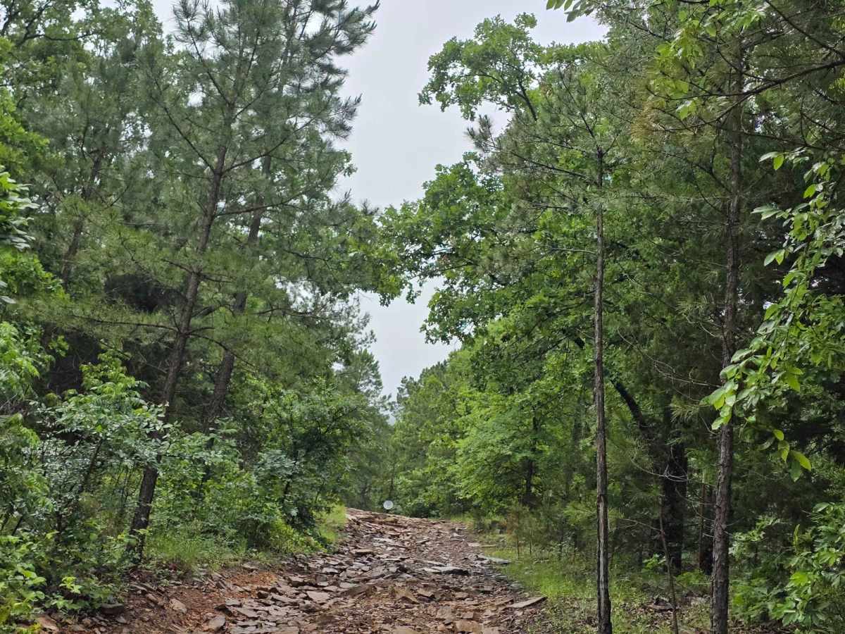
The dirt trail runs parallel to the boundary fence of a private land parcel in rural Oklahoma, cutting through a mix of open prairie and lightly wooded areas. The trail itself is about 8 to 10 feet wide, composed of compacted red clay and loose gravel, with patches of grass and sand depending on recent weather conditions. Winding gently with the natural contours of the land, the trail features mild elevation changes, shallow creek crossings, and occasional washouts that add a technical element for off-road drivers. In drier months, the trail kicks up dust clouds with every pass, while rain turns low-lying areas into muddy ruts and slick slopes, making 4WD a necessity. Fencing runs along one side--typically a five-strand barbed wire or T-post line--marking the private land boundary. On the opposite side, the trail is flanked by native vegetation: tallgrass prairie, blackjack oaks, and scattered cedar trees, with signs of local wildlife including deer tracks, armadillo burrows, and the occasional hawk overhead. Usage is restricted to authorized off-road vehicles--ATVs, UTVs, dirt bikes, and 4x4 trucks--with gates or signage at intervals to discourage trespassing. The trail may serve as an access route for landowners at times.