Trail Overview
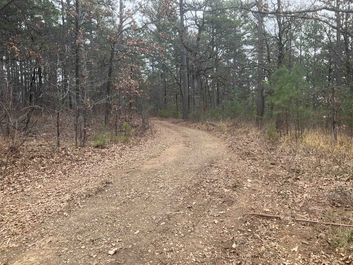
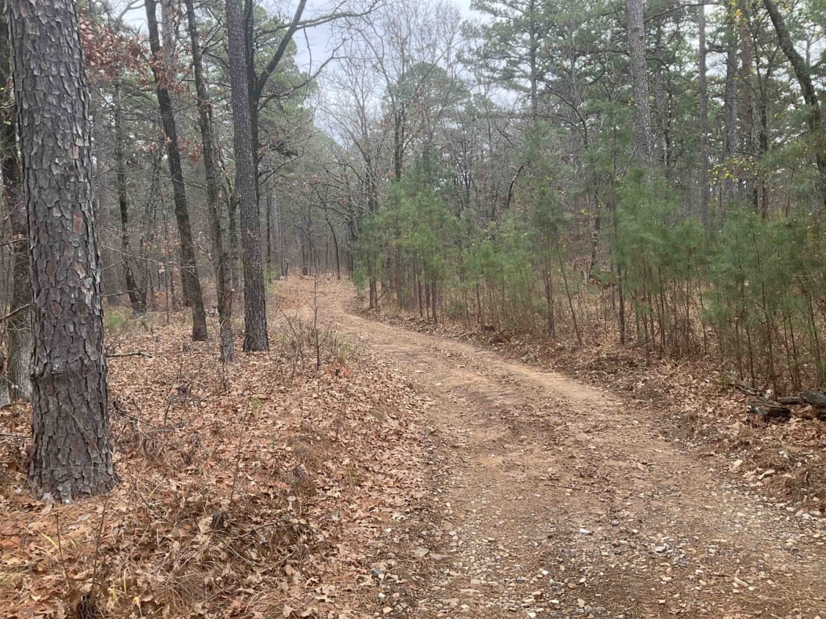
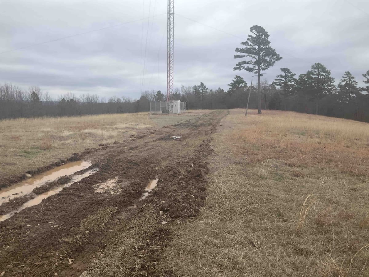
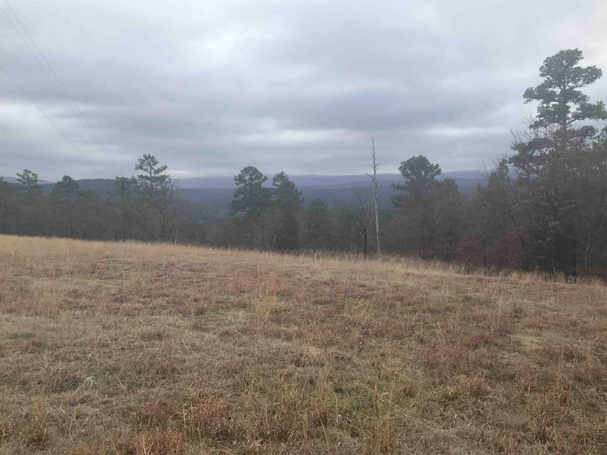
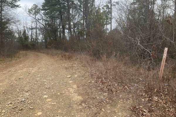
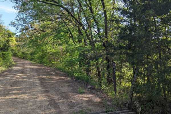
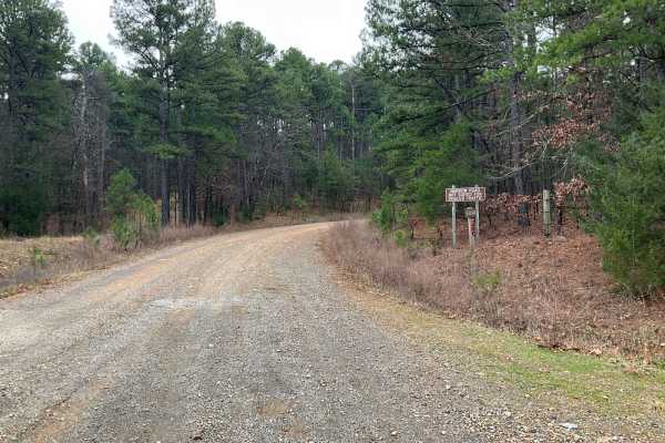
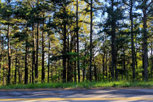
The Tower Trail, also known as Forest Service A55A, is a concise and adventurous path in the Ouachita National Forest. Spanning only about 1.5 miles, this trail is relatively short but offers a unique journey as it ends in a large clearing, marked by a notable communications tower. Recently carved out, the path's youth is evident from the fresh roots and rocks upturned by bulldozers. It's a narrow trail, manageable with a trailer but requiring cautious navigation due to the lack of turnarounds until the end. The trail itself is straightforward with no particular technical challenges until its conclusion, where the terrain becomes markedly rutted and muddy, presenting a risk of getting stuck with only one winching point ahead. Tower Trail runs along a ridge, providing parallel views of the Shawnee Creek below. The end of the trail opens up to expansive views, offering a moment of awe and tranquility. An intriguing aspect of Tower Trail is its proximity and subsequent descent towards the Jim E. Hamilton Correctional Facility, a minimum-security prison in Oklahoma. As adventurers retrace their steps to Highway 59, the trail leads directly through the correctional facility's grounds, including parking lots and between buildings. This unique passage adds an unexpected twist to the trail experience, combining natural wilderness with a brush against structured, institutional life. Whether seeking a brief outdoor escape or a curious journey near a correctional facility, Tower Trail offers a distinct blend of natural beauty and an unusual ending.