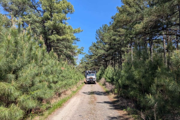
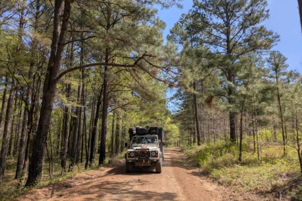
Trail Overview
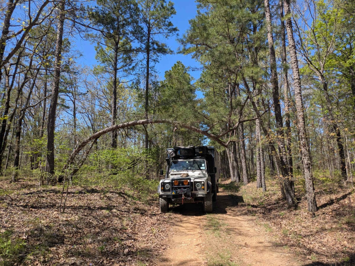
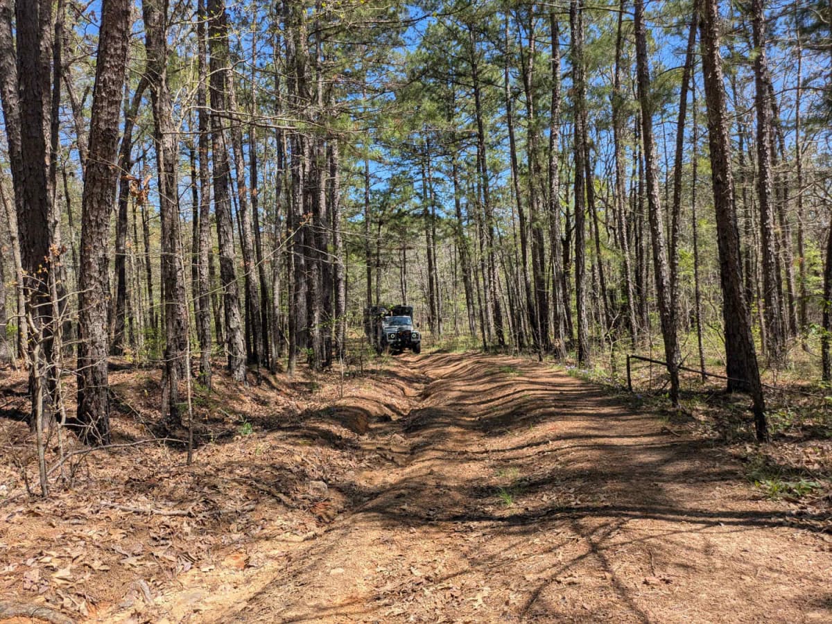
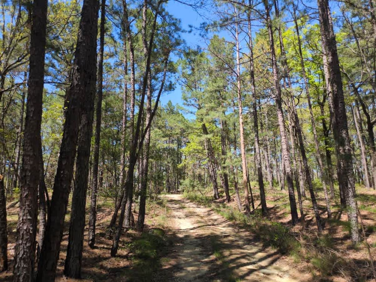
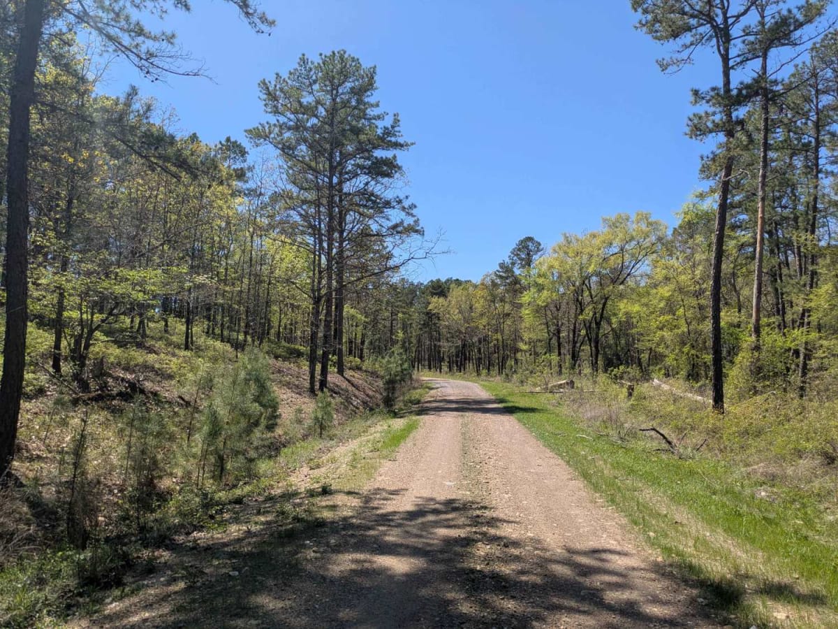
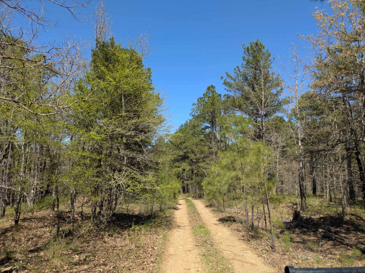
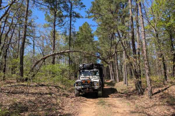
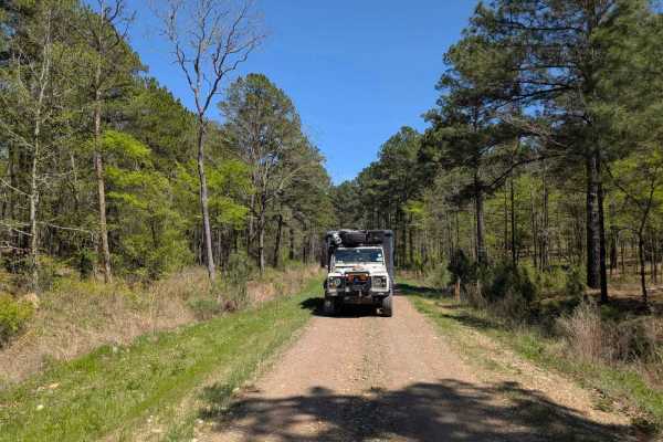
This off-road trail presents a rugged challenge with its rocky surface that gradually narrows while becoming off-camber, showing clear signs of water damage. In several areas, the forest is encroaching on the path, increasing the risk of pinstriping, and fallen trees are scattered along the route. Near the end, the road deteriorates significantly, and due to overgrowth, turning around is not possible without reversing a few hundred feet. Evidently, this trail is seldom used. While a few dispersed campsites may be found, the trail lacks essential amenities, such as trash disposal and a water supply, and cell service is limited throughout the area.
History
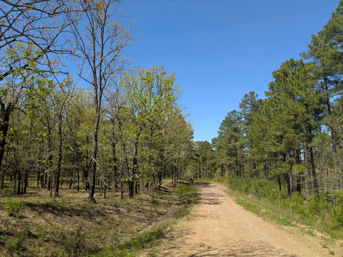
The Ouachita National Forest was established in 1907, making it the oldest national forest in the South. Long before that, Native American tribes like the Caddo and Choctaw lived and traveled through these mountains. In the late 1800s, settlers arrived for logging and mining, but concerns about preserving the land led to federal protection. Today, the forest covers over 1.8 million acres across Arkansas and Oklahoma. With its rugged ridges, clear streams, and diverse wildlife, the Ouachita remains a place where nature and history meet--and every trail tells part of the story.