
Beginner Off-Road Trails
Near Glendale, Utah
Explore All Beginner Trails Near Glendale, Utah
Beginner Off-Road Trails Near Glendale, Utah
Discover the best beginner-friendly off-road trails near you. These easier, lower-rated trails are a great place to start — browse trail maps, check difficulty ratings, and find your next adventure.

Elkheart Cliffs Overlook
This trail begins at the Glendale Bench Road, a dirt road that starts off easy, with a few sandy spots. 4WD/AWD is recommended. About 6.7 miles in, you will come to a gate that you can pass through. Be sure to close the gate behind you and stay on Country Road 112, as this trail goes through private...
Learn more about Elkheart Cliffs Overlook
Stout Canyon Road
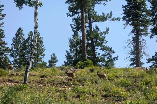
You are in for a scenic option to avoid some pavement between Highway 89 near Glendale Utah, and Highway 14 near Duck Creek Village Utah. The road is well maintained and varies between one and two vehicles wide as you climb up from Highway 14 and end up on the Markagunt Plateau. The north end of thi...
Learn more about Stout Canyon Road
Deer Hollow-K2155
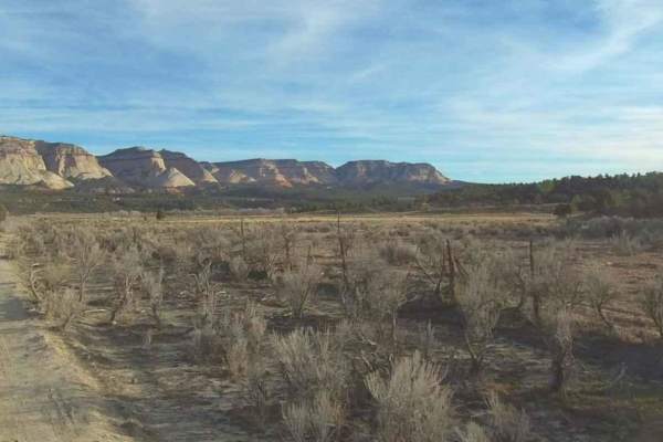
Deer Hollow-K2155 is a 2.7-mile point-to-point single track that provides scenic views of the Kanab Cliffs and Sugar Knoll. The trail is rated 3 of 10 due to the potential for deep sand in spots. The trail in conjunction with Twin Hollow-BLM98 and Trail Canyon trails creates a 12-mile loop from High...
Learn more about Deer Hollow-K2155
BLM 115
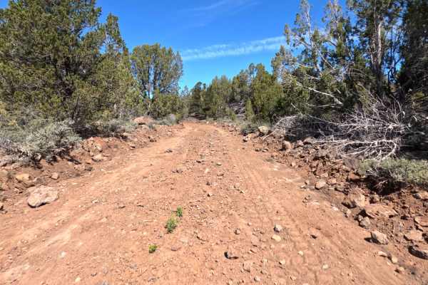
BLM 115 is an incredibly scenic, smooth, and remarkably fast-paced single-lane dirt route that serves as a fantastic backcountry connection between the small town of Alton and the Glendale Bench Road. Stretching out over 12.9 miles, this beautifully secluded track winds its way through a vibrant hig...
Learn more about BLM 115
Stout Ridge Point
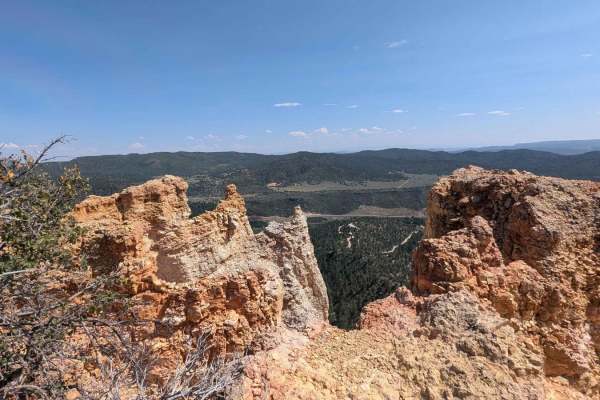
This trail leads to a beautiful scenic overlook where you can see Highway 89 and the cliffs and canyons beyond. This trail can be reached by following Stout Ridge from the north or accessed from Highway 89 taking the south entrance of Stout Canyon Ridge for a short distance, which will get you to th...
Learn more about Stout Ridge Point
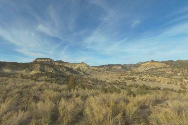
Trail Canyon
Trail Canyon is a 2.7-mile point-to-point single track that provides scenic views of the Kanab Cliffs and Sugar Knoll. The trail is rated 3 of 10 due to the potential for deep sand in spots. The trail in conjunction with Twin Hollow-BLM98 and Deer Hollow trails creates a 12-mile loop from Highway 9 ...
Learn more about Trail Canyon
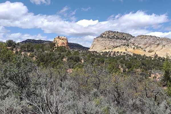
White Tower Trail
The White Tower Trail (BLM 102) connects Peek-A-Boo Slot Canyon Loop to Kanab Creek Trail. It's 4.5 miles of beautiful, deep sand through the Juniper trees as you travel around White Tower. The scenery in this area of Southern Utah is simply spectacular. Red sandstone mountains jutting up from the l...
Learn more about White Tower Trail
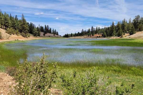
Swains Creek
Swains Creek, also known as Strawberry Ridge Road, is a scenic and easy-going eight-mile dirt route that is perfect for beginners, scenic drivers, and families looking for a relaxed off-road experience in the mountains of southern Utah. Branching off State Route 14 near Duck Creek Village, this well...
Learn more about Swains Creek
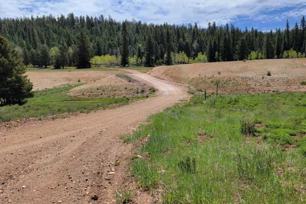
Billingsly Trail
Billingsly Trail (Trail #67 of the Markagunt OHV System, or Forest Service Road 30598) is an easy and scenic 2.3-mile connector trail perfect for beginners and anyone looking for a quick, relaxed mountain drive. This trail bridges the gap between Harris Rim and Swains Creek, winding through dense st...
Learn more about Billingsly Trail

BLM 103S
Fittingly nicknamed "Shaken Not Stirred," BLM 103S is a highly scenic but distinctly bumpy 3.4-mile backcountry two-track that serves as an unforgettable high-desert transit. The vividly colored, deeply tracked red-sand route playfully meanders through a dense landscape heavily populated by mature g...
Learn more about BLM 103S
Twin Hollow BLM 98
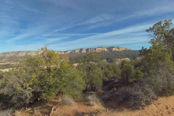
Twin Hollow BLM 98 is a 5-mile point-to-point single-track that provides scenic views of the Kanab Cliffs and Sugar Knoll. The trail is rated 3 of 10 due to the potential for deep sand in spots. The trail starts just west of Mount Carmel Junction on Highway 9. The trail in conjunction with Trail Can...
Learn more about Twin Hollow BLM 98
Billingsly Creek Draw
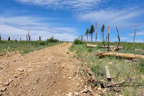
This short trail connects from Harris Rim to Swains Creek. There are some large erosion ruts especially in the middle of the trail. At some point there was a wildfire that burned the forest at the top of the trail. There is a small, shallow water crossing right at the beginning/end on the Swains Cre...
Learn more about Billingsly Creek Draw
East Side - BLM 74
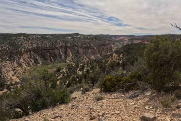
Located just off Highway 9, BLM 74 - East is a spectacularly scenic 3.1-mile two-track adventure that meanders across an elevated bluff through vibrant, high-desert upland scrub. The journey begins by passing through an unlocked access gate directly off the highway; as always, please practice proper...
Learn more about East Side - BLM 74
County Road 10
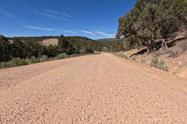
County Road 10 is an expansive, impeccably maintained, two-lane gravel transit route that serves as a vital corridor connecting the charming, small town of Alton directly to the scenic Glendale Bench Road (BLM 1854). Spanning a breezy 12.0 miles, this wide and welcoming thoroughfare escorts traveler...
Learn more about County Road 10
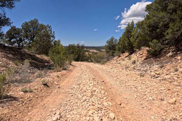
BLM 109G
BLM 109G is a highly accessible, wonderfully scenic 1.0-mile backcountry two-track that provides off-road explorers with an exceptionally relaxed driving experience. Conveniently paralleling Highway 89, this brief but rewarding transit features a predominantly firm, gravel-covered surface that playf...
Learn more about BLM 109G
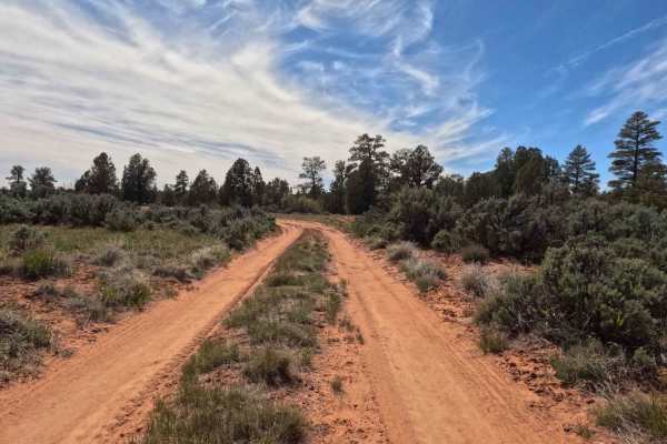
BLM 74
Situated just off the incredibly scenic Highway 9, located east of the breathtaking Zion National Park, BLM 74 - West is a brief but highly rewarding 0.7-mile two-track dirt trail. This welcoming, flat route meanders gracefully through a classic, vibrant high-desert landscape dotted with fragrant sa...
Learn more about BLM 74
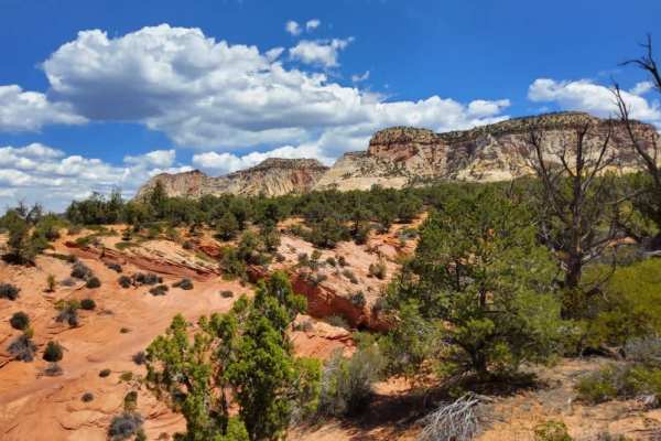
BLM 106W
Clearly marked at its entrance by a standard brown carsonite forest service post, BLM 106W is a beautifully scenic, highly approachable backcountry two-track. The trail features a generally firm, hardpack sand surface that playfully winds its way through a classic high-desert landscape, heavily popu...
Learn more about BLM 106W
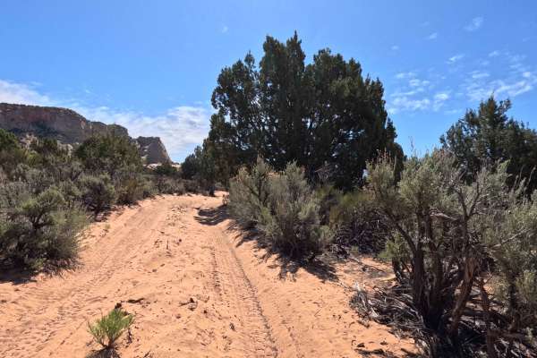
BLM 106E
BLM 106E is a highly scenic, 2.1-mile backcountry sand two-track that treats explorers to some of the most dramatic geological views in the region. As the vividly colored red-sand path playfully winds its way through a dense high-desert landscape heavily populated by mature green juniper trees and t...
Learn more about BLM 106E
State Lands Spur - BLM 74
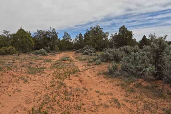
Branching directly off the main BLM 74 - East route, the State Lands Spur is a brief but incredibly rewarding 0.53-mile offshoot that carries explorers across the boundary into Utah State Trust lands. This exceptionally tight and twisty red-dirt two-track meanders intimately through dense, overgrown...
Learn more about State Lands Spur - BLM 74
BLM 106Q
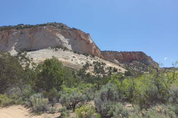
BLM 106Q is a breathtakingly scenic, 0.7-mile backcountry two-track that delivers an unforgettable high-desert experience. The brief but rewarding journey begins by immediately challenging drivers to climb through a minor, brush-lined gully before leveling out onto a heavily tracked, vividly colored...
Learn more about BLM 106Q
Beginner ATV trails near Glendale, Utah
Explore ATV-friendly trails near you. These trails are accessible for vehicles up to 50 inches wide, perfect for ATVs and smaller off-road machines.
Elkheart Cliffs Overlook
This trail begins at the Glendale Bench Road, a dirt road that starts off easy, with a few sandy spots. 4WD/AWD is recommended. About 6.7 miles in, you will come to a gate that you can pass through. Be sure to close the gate behind you and stay on Country Road 112, as this trail goes through private...
Learn more about Elkheart Cliffs Overlook
Stout Canyon Road
You are in for a scenic option to avoid some pavement between Highway 89 near Glendale Utah, and Highway 14 near Duck Creek Village Utah. The road is well maintained and varies between one and two vehicles wide as you climb up from Highway 14 and end up on the Markagunt Plateau. The north end of thi...
Learn more about Stout Canyon Road
Deer Hollow-K2155
Deer Hollow-K2155 is a 2.7-mile point-to-point single track that provides scenic views of the Kanab Cliffs and Sugar Knoll. The trail is rated 3 of 10 due to the potential for deep sand in spots. The trail in conjunction with Twin Hollow-BLM98 and Trail Canyon trails creates a 12-mile loop from High...
Learn more about Deer Hollow-K2155
Stout Ridge Point
This trail leads to a beautiful scenic overlook where you can see Highway 89 and the cliffs and canyons beyond. This trail can be reached by following Stout Ridge from the north or accessed from Highway 89 taking the south entrance of Stout Canyon Ridge for a short distance, which will get you to th...
Learn more about Stout Ridge Point
Beginner UTV/side-by-side trails near Glendale, Utah
Find UTV and side-by-side trails near you. These trails accommodate vehicles up to 60 inches wide, ideal for UTVs, side-by-sides, and wider off-road rigs.
Elkheart Cliffs Overlook
This trail begins at the Glendale Bench Road, a dirt road that starts off easy, with a few sandy spots. 4WD/AWD is recommended. About 6.7 miles in, you will come to a gate that you can pass through. Be sure to close the gate behind you and stay on Country Road 112, as this trail goes through private...
Learn more about Elkheart Cliffs Overlook
Stout Canyon Road
You are in for a scenic option to avoid some pavement between Highway 89 near Glendale Utah, and Highway 14 near Duck Creek Village Utah. The road is well maintained and varies between one and two vehicles wide as you climb up from Highway 14 and end up on the Markagunt Plateau. The north end of thi...
Learn more about Stout Canyon Road
Deer Hollow-K2155
Deer Hollow-K2155 is a 2.7-mile point-to-point single track that provides scenic views of the Kanab Cliffs and Sugar Knoll. The trail is rated 3 of 10 due to the potential for deep sand in spots. The trail in conjunction with Twin Hollow-BLM98 and Trail Canyon trails creates a 12-mile loop from High...
Learn more about Deer Hollow-K2155
Stout Ridge Point
This trail leads to a beautiful scenic overlook where you can see Highway 89 and the cliffs and canyons beyond. This trail can be reached by following Stout Ridge from the north or accessed from Highway 89 taking the south entrance of Stout Canyon Ridge for a short distance, which will get you to th...
Learn more about Stout Ridge Point
The onX Offroad Difference
onX Offroad combines trail photos, descriptions, difficulty ratings, width restrictions, seasonality, and more in a user-friendly interface. Available on all devices, with offline access and full compatibility with CarPlay and Android Auto. Discover what you're missing today!
Open Trail Map