Trail Overview
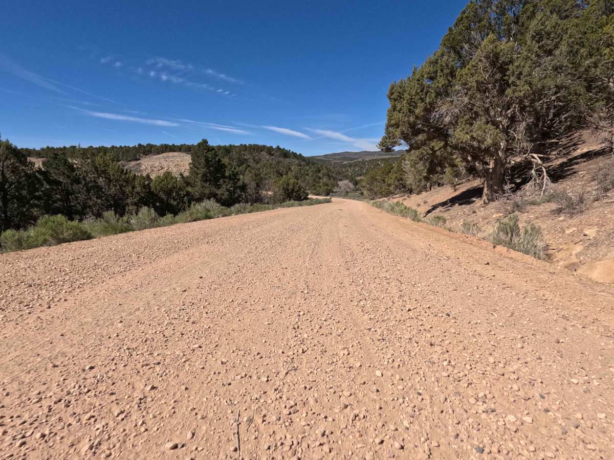
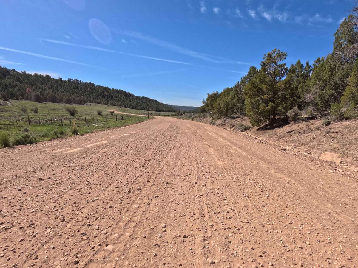
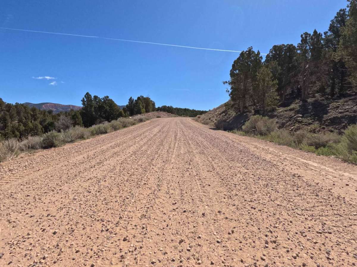
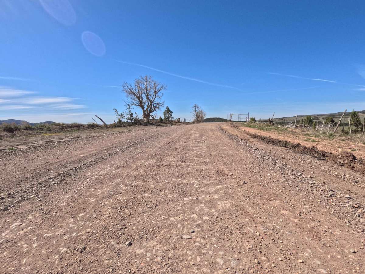
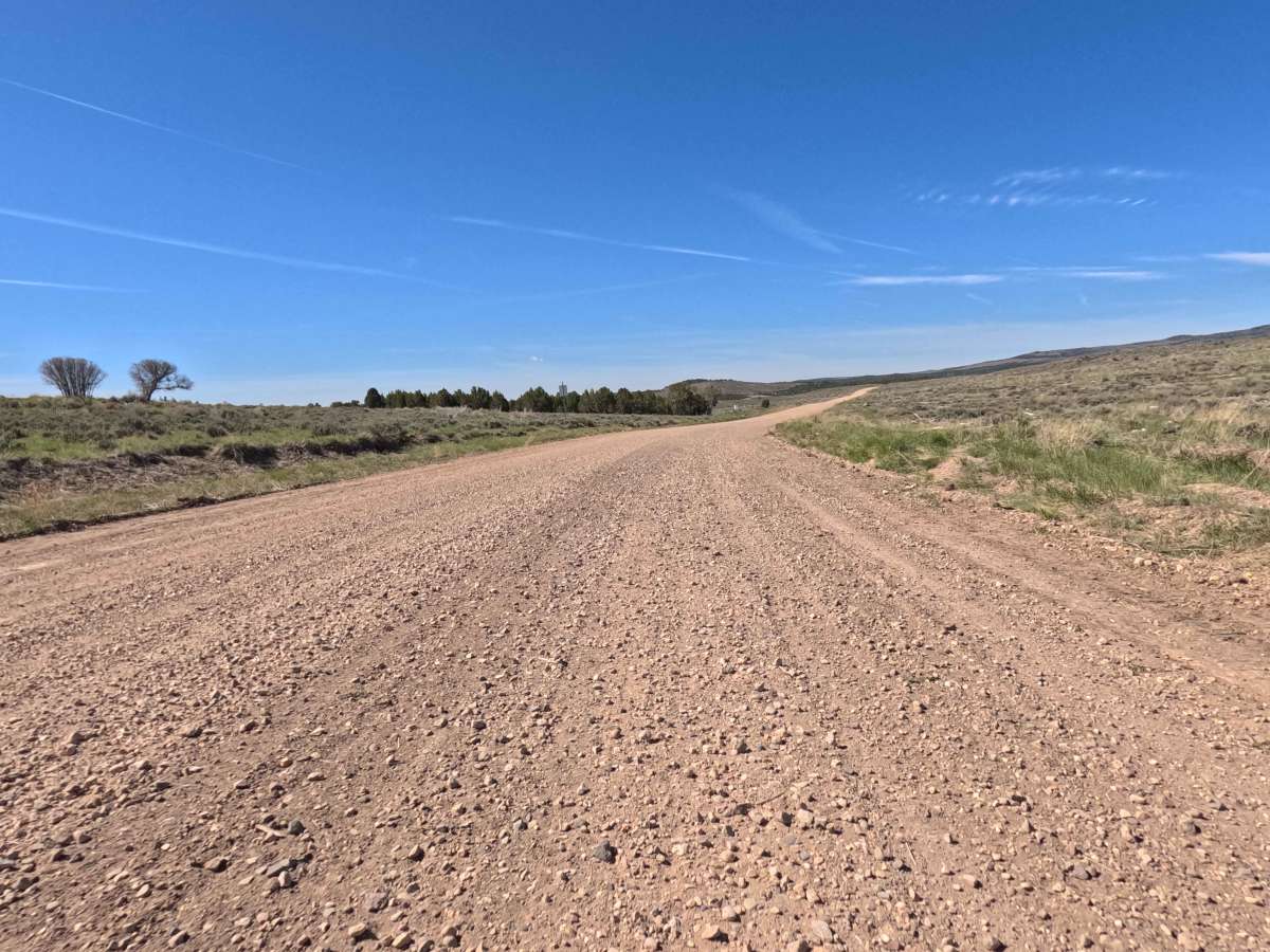
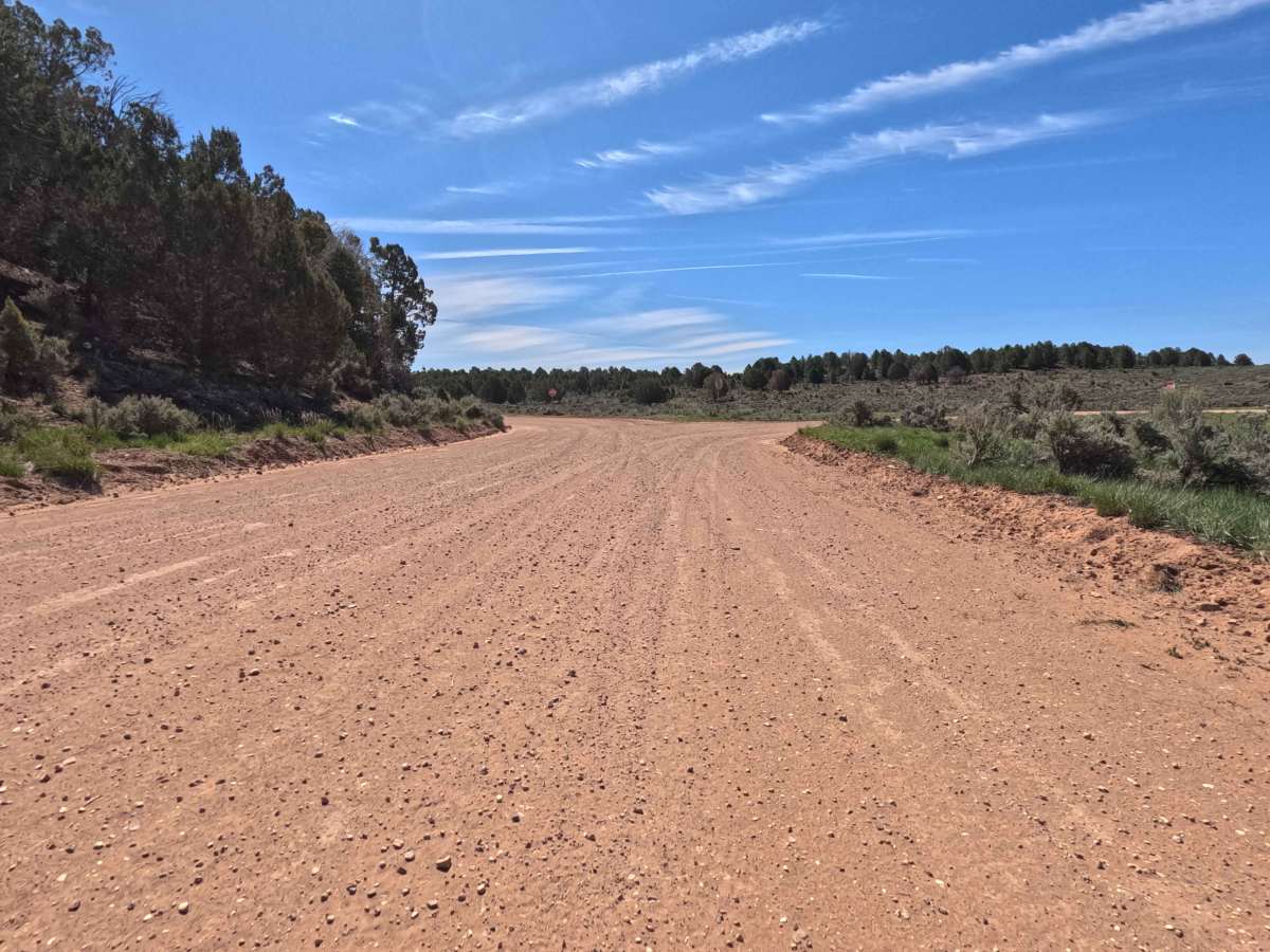
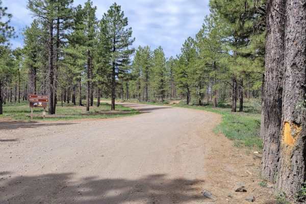
County Road 10 is an expansive, impeccably maintained, two-lane gravel transit route that serves as a vital corridor connecting the charming, small town of Alton directly to the scenic Glendale Bench Road (BLM 1854). Spanning a breezy 12.0 miles, this wide and welcoming thoroughfare escorts travelers through a dynamic high-desert landscape. Along the journey, the terrain beautifully transitions from open, sun-drenched sagebrush meadows to gently rolling hillsides dotted with fragrant juniper and pine. Because the road is exceptionally well-graded and impressively wide, explorers are treated to a delightfully smooth, "easy rolling" experience under expansive, bright blue skies. As you cruise along this tranquil county route, you will frequently encounter breathtaking, unobstructed regional views showcasing the vast valleys and distant mountain horizons. It is an ideal, relaxing drive perfectly suited for those seeking to soak in the area's vast, rugged beauty without the stress of technical off-roading.
Difficulty
County Road 10 definitely earns a Level 1 Very Easy technical rating. The surface is composed of high-quality, firmly packed, and consistently well-graded gravel, completely devoid of any deep erosion ruts, steep off-camber sections, or challenging rock obstacles. Thanks to its generous two-lane width and exceptionally smooth tread, this route provides effortless "easy rolling" transit. Under standard dry weather conditions, this road is highly accessible and perfectly safe for virtually any vehicle on the market, making it an excellent choice for 2WD passenger sedans, low-clearance minivans, standard AWD crossovers, large RVs, and vehicles towing trailers.