
Beginner Off-Road Trails
Near Elizabethtown, North Carolina
Explore All Beginner Trails Near Elizabethtown, North Carolina
Beginner Off-Road Trails Near Elizabethtown, North Carolina
Discover the best beginner-friendly off-road trails near you. These easier, lower-rated trails are a great place to start — browse trail maps, check difficulty ratings, and find your next adventure.
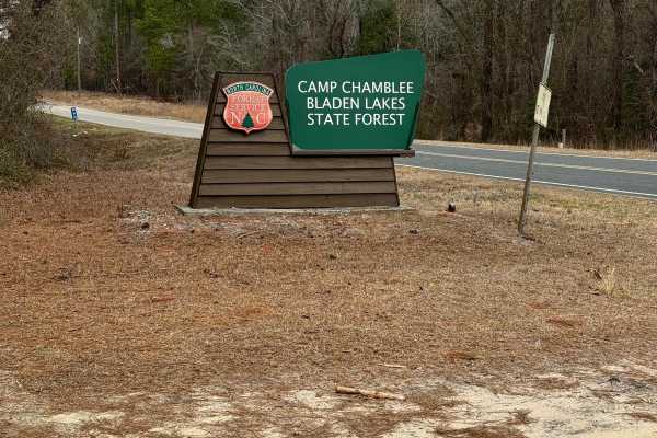
Camp Chamblee
This is a State Forest road that takes you directly to Camp Chamblee, a dispersed camping area within the State Forest. The road is a well-maintained dirt road suitable for any vehicle. Camping is free, however, you are required to call the ranger station to let them know you are camping. They can b...
Learn more about Camp Chamblee

Briar Patch Road
Briar Patch Road joins Goose Pond Road and gives users the opportunity to connect or loop together several of the area’s enjoyable coastal trails. The route travels through a mixture of coastal terrain and recently logged property, providing open views while remaining relatively close to the North C...
Learn more about Briar Patch Road

Timber Road
Timber Road is another enjoyable route through the surrounding state game lands and shares many of the same characteristics as other nearby trails in the network. The trail is generally well maintained and provides users with a straightforward drive through the surrounding forest. Under normal condi...
Learn more about Timber Road
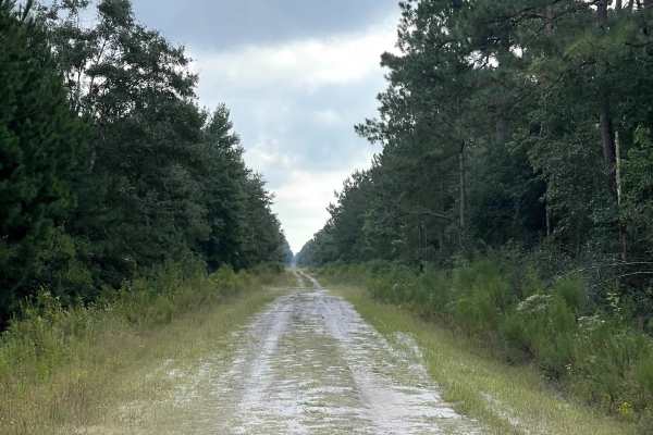
Evergreen
Evergreen is another well-maintained route through the surrounding state game lands and provides users with an easy and relaxing way to continue exploring the larger trail network. The trail remains approximately two lanes wide, providing plenty of room for vehicles to comfortably travel the route a...
Learn more about Evergreen

Low Water Bridge
Low Water Bridge is another enjoyable route through the surrounding trail network and shares many of the same characteristics as the nearby maintained roads. The trail is generally easy to navigate and free from major obstacles under normal conditions, making it a straightforward addition to a longe...
Learn more about Low Water Bridge
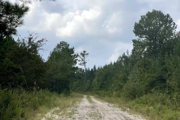
Patrick Road
Patrick Road is similar in character to many of the other routes found throughout the surrounding area and is generally a straightforward trail under normal conditions. Users should be aware, however, that a closed gate is present near the entrance to the neighborhood. At the time of this trail revi...
Learn more about Patrick Road
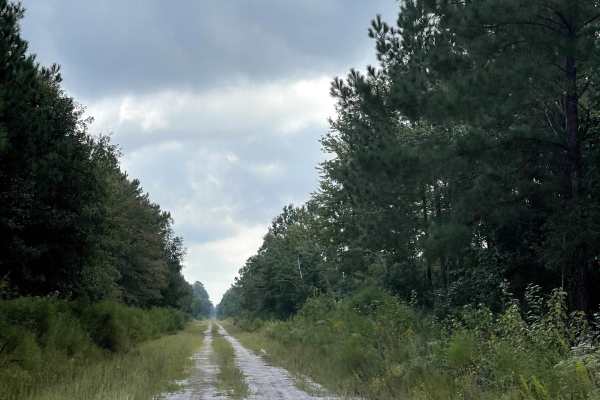
Turkey Branch
Turkey Branch is another enjoyable route through the surrounding state game lands and shares many of the same characteristics as the nearby trails within the network. The trail is generally well maintained and provides users with a straightforward drive through the surrounding forest. Under normal c...
Learn more about Turkey Branch
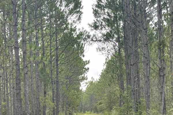
Baxter Line
Baxter Line is another enjoyable route through the surrounding state game lands and is similar in character to many of the other trails found throughout the area. The trail is generally well maintained and provides users with a straightforward drive while continuing to explore the larger trail netwo...
Learn more about Baxter Line
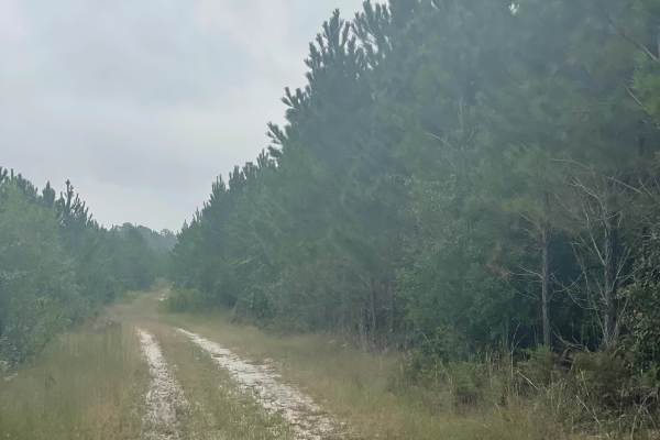
The Pines
The Pines is a sandy two-track trail located within the coastal North Carolina trail network near Boiling Spring Lakes Preserve. This trail branches off Goose Pond Road and provides users with a shorter, more direct access route to Baxter Line Road, making it a convenient connector for those explori...
Learn more about The Pines
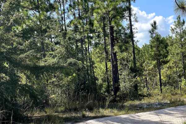
Bee Tree Farm
Bee Tree Farm is a well-maintained gravel and dirt road that takes users through a scenic coastal farming area. The trail consists primarily of hard-packed gravel and dirt and is free of major obstacles, making it an easy and relaxing route to explore under normal conditions. As users travel through...
Learn more about Bee Tree Farm

Mingo Road
Mingo Road provides users with another enjoyable coastal route featuring a mixture of loose sand and harder-packed sandy terrain. Under normal dry conditions, the trail is relatively straightforward and should be manageable for most capable vehicles. Users should use considerably more caution follow...
Learn more about Mingo Road
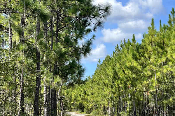
Goose Pond Road
Goose Pond Road is a fun coastal trail that branches off Royal Oak near the local gun club. The trail surface consists of a mixture of loose sand and hard-packed sand, providing users with a more traditional coastal North Carolina off-road experience. During periods of dry weather, the trail is rela...
Learn more about Goose Pond Road
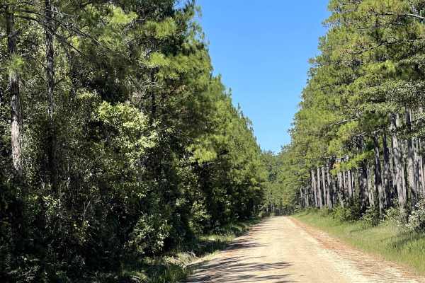
Royal Oak
Royal Oak is a wonderful hard-packed sand and dirt trail that gives users the opportunity to explore the sandy terrain characteristic of coastal North Carolina. The trail is free of major obstacles and should be suitable for most vehicles under normal conditions. Its combination of hard-packed dirt ...
Learn more about Royal Oak

Lewis Swamp Road
Lewis Swamp Road is a wide, smooth coastal trail that provides an easy and enjoyable drive with very few challenges. The trail surface is exceptionally well maintained and free from major obstacles, washboards, or dried mud holes, allowing for a noticeably smoother ride than many of the surrounding ...
Learn more about Lewis Swamp Road
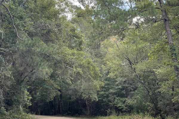
Governor Road
Governor Road is a scenic through trail that begins shortly after the pavement ends and takes users onto a beautiful, well-maintained mixture of sand and dirt. The main trail is wide, smooth, and free from major obstacles or obstructions, making it suitable for most vehicles during normal conditions...
Learn more about Governor Road
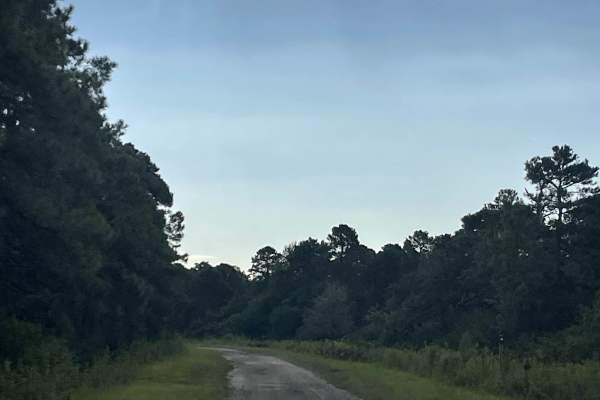
MST 1
MST 1 is an extensive trail that provides users with access to the surrounding state game lands and serves as a major route for exploring the area. The trail is approximately two lanes wide throughout much of its length and features a mixture of gravel and hard-packed dirt. Under normal conditions, ...
Learn more about MST 1
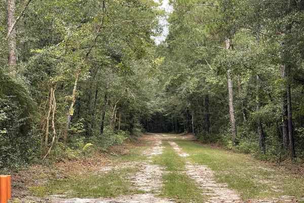
River Road
River Road provides users with access to the nearby state game lands and offers an easy drive through the surrounding coastal landscape. The trail is generally free from major obstacles, although portions can be somewhat rough due to exposed tree roots protruding through the trail surface. Drivers s...
Learn more about River Road
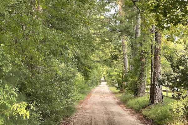
Lillington Lane
Lillington Lane is an out-and-back trail consisting primarily of hard-packed silty sand and is approximately two lanes wide throughout most of the route. The trail is generally free from major obstacles and should be suitable for most vehicles under normal conditions. Users should expect sections of...
Learn more about Lillington Lane
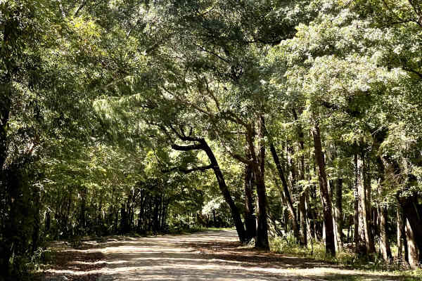
Lee Buck Road
Lee Buck Road is a wonderfully maintained dirt road that takes users through the surrounding coastal landscape and across a scenic swamp area. The trail surface consists primarily of hard-packed silty dirt and is generally smooth and easy to navigate. Lee Buck Road is free from major obstacles, maki...
Learn more about Lee Buck Road
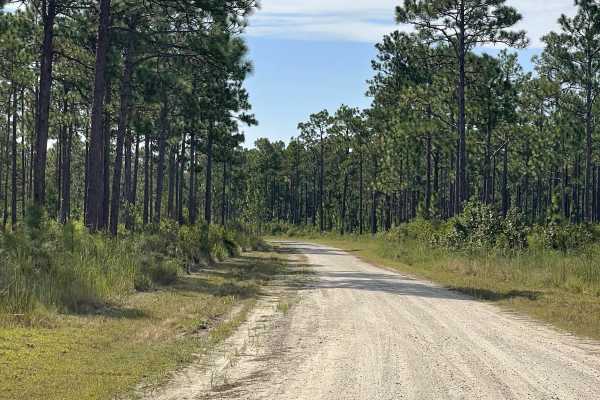
Bear Track
Bear Track provides users with access to the northern terminus of the state game lands and serves as a convenient entry or exit point for exploring the surrounding trail network. The trail is approximately two lanes wide and consists primarily of a maintained gravel surface, providing plenty of room...
Learn more about Bear Track
Beginner ATV trails near Elizabethtown, North Carolina
Explore ATV-friendly trails near you. These trails are accessible for vehicles up to 50 inches wide, perfect for ATVs and smaller off-road machines.
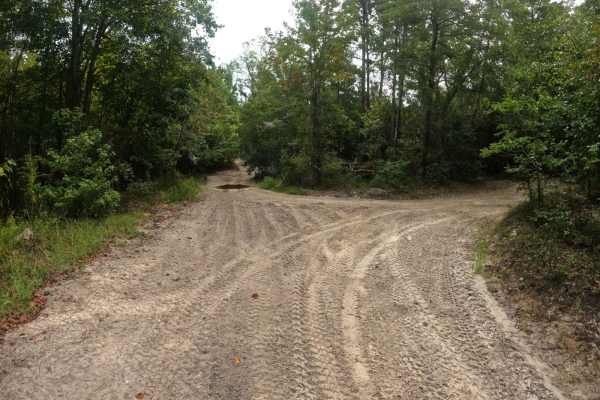
Oakley Road
This trail is accessible from the north side of the campground or from Cooke's Circle. Oakley Road is a nice and easy ride through the woods. It does have a few narrow blind corners so use caution. However, the trail is generally wide enough for two vehicles to pass. Be aware that the speed limit in...
Learn more about Oakley Road
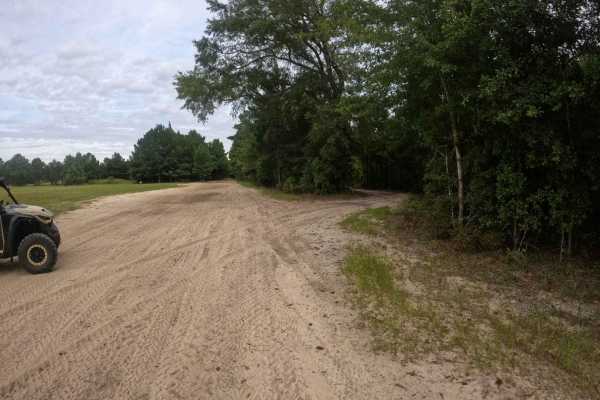
Trey's Trail
This is a great little trail that breaks off of Heritage Trail and runs parallel to it. It has a couple of blind corners and is mostly a single-lane trail with areas to pull off to allow traffic to pass. It feels a little slower-paced and avoids some of the mud holes that develop on its bigger broth...
Learn more about Trey's Trail
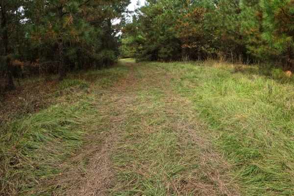
Strickland Drive
Strickland Road is a connector between Heritage Trail and Shelby Drive. The trail is mostly comprised of grass with compact sand underneath. Its wide;however, the trees tend to grow in near Shelby Drive, so the trail may narrow near this intersection. Use caution approaching Heritage Trail or Shelby...
Learn more about Strickland Drive
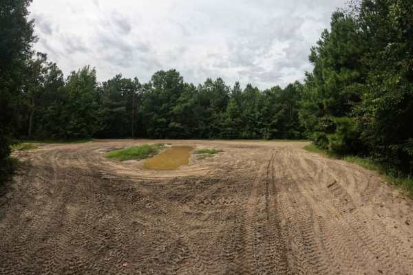
Beaten Path
The Beaten Path lives up to its namesake, the trail is hardpacked sand with multiple mud holes in the middle of the trail; however, they're easy to bypass under normal conditions. There is one large obstacle that comes shortly after the intersection with Blackdog's Boulevard, or before the intersect...
Learn more about Beaten Path
Beginner UTV/side-by-side trails near Elizabethtown, North Carolina
Find UTV and side-by-side trails near you. These trails accommodate vehicles up to 60 inches wide, ideal for UTVs, side-by-sides, and wider off-road rigs.
Oakley Road
This trail is accessible from the north side of the campground or from Cooke's Circle. Oakley Road is a nice and easy ride through the woods. It does have a few narrow blind corners so use caution. However, the trail is generally wide enough for two vehicles to pass. Be aware that the speed limit in...
Learn more about Oakley Road
Trey's Trail
This is a great little trail that breaks off of Heritage Trail and runs parallel to it. It has a couple of blind corners and is mostly a single-lane trail with areas to pull off to allow traffic to pass. It feels a little slower-paced and avoids some of the mud holes that develop on its bigger broth...
Learn more about Trey's Trail
Strickland Drive
Strickland Road is a connector between Heritage Trail and Shelby Drive. The trail is mostly comprised of grass with compact sand underneath. Its wide;however, the trees tend to grow in near Shelby Drive, so the trail may narrow near this intersection. Use caution approaching Heritage Trail or Shelby...
Learn more about Strickland Drive
Beaten Path
The Beaten Path lives up to its namesake, the trail is hardpacked sand with multiple mud holes in the middle of the trail; however, they're easy to bypass under normal conditions. There is one large obstacle that comes shortly after the intersection with Blackdog's Boulevard, or before the intersect...
Learn more about Beaten Path
The onX Offroad Difference
onX Offroad combines trail photos, descriptions, difficulty ratings, width restrictions, seasonality, and more in a user-friendly interface. Available on all devices, with offline access and full compatibility with CarPlay and Android Auto. Discover what you're missing today!
Open Trail Map