The Pines

Total Miles1
Technical Rating
1Easy
Best TimeSpring, Summer, Fall, Winter
Trail TypeFull-Width Road
Accessible By
Open Trail Map

Trail Overview

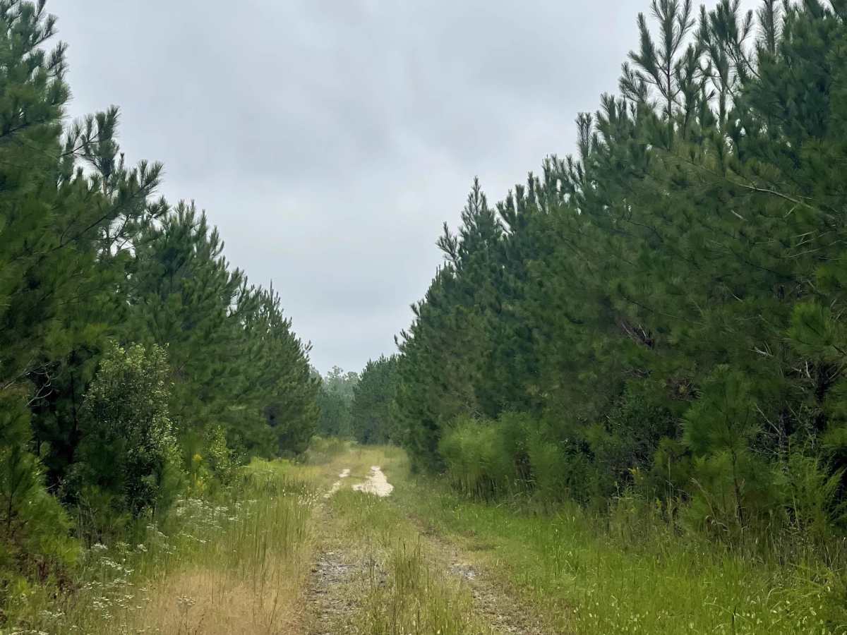
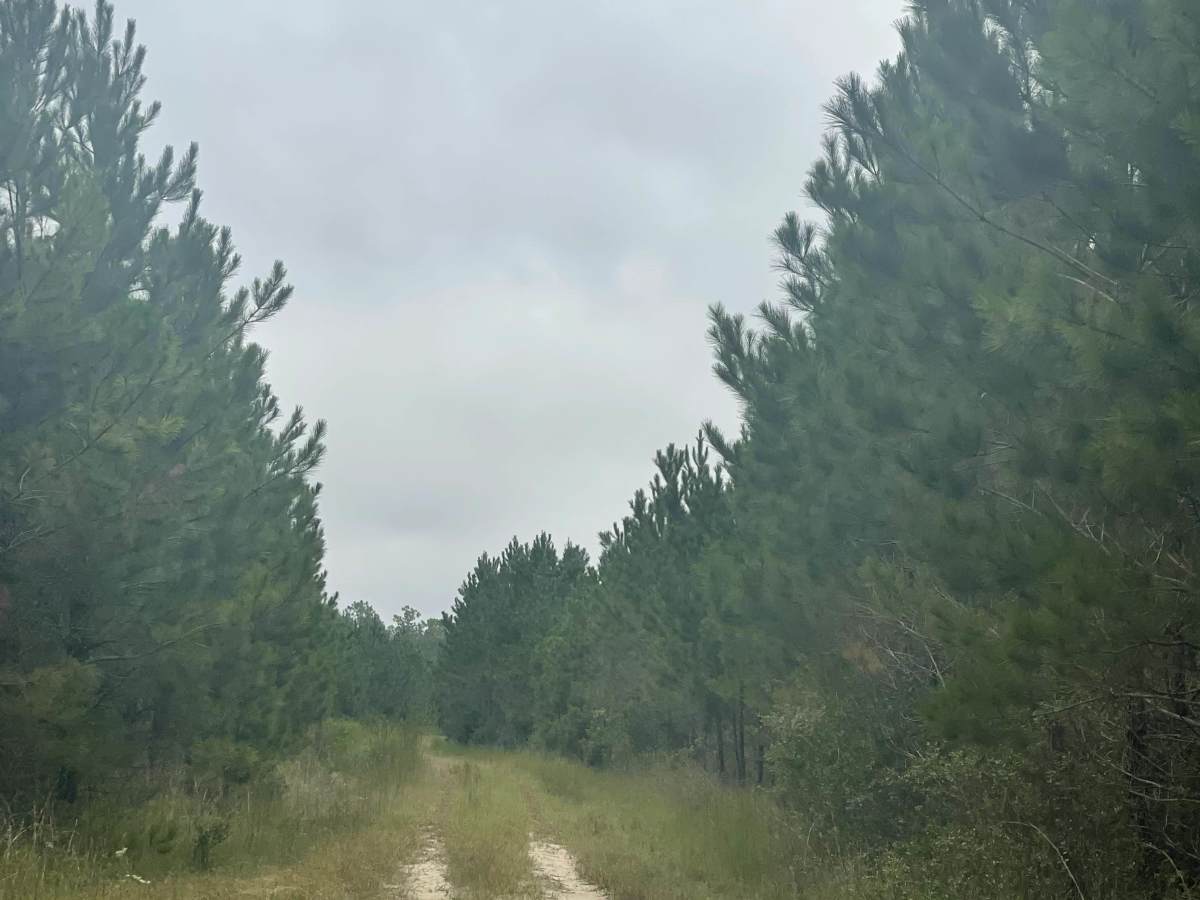
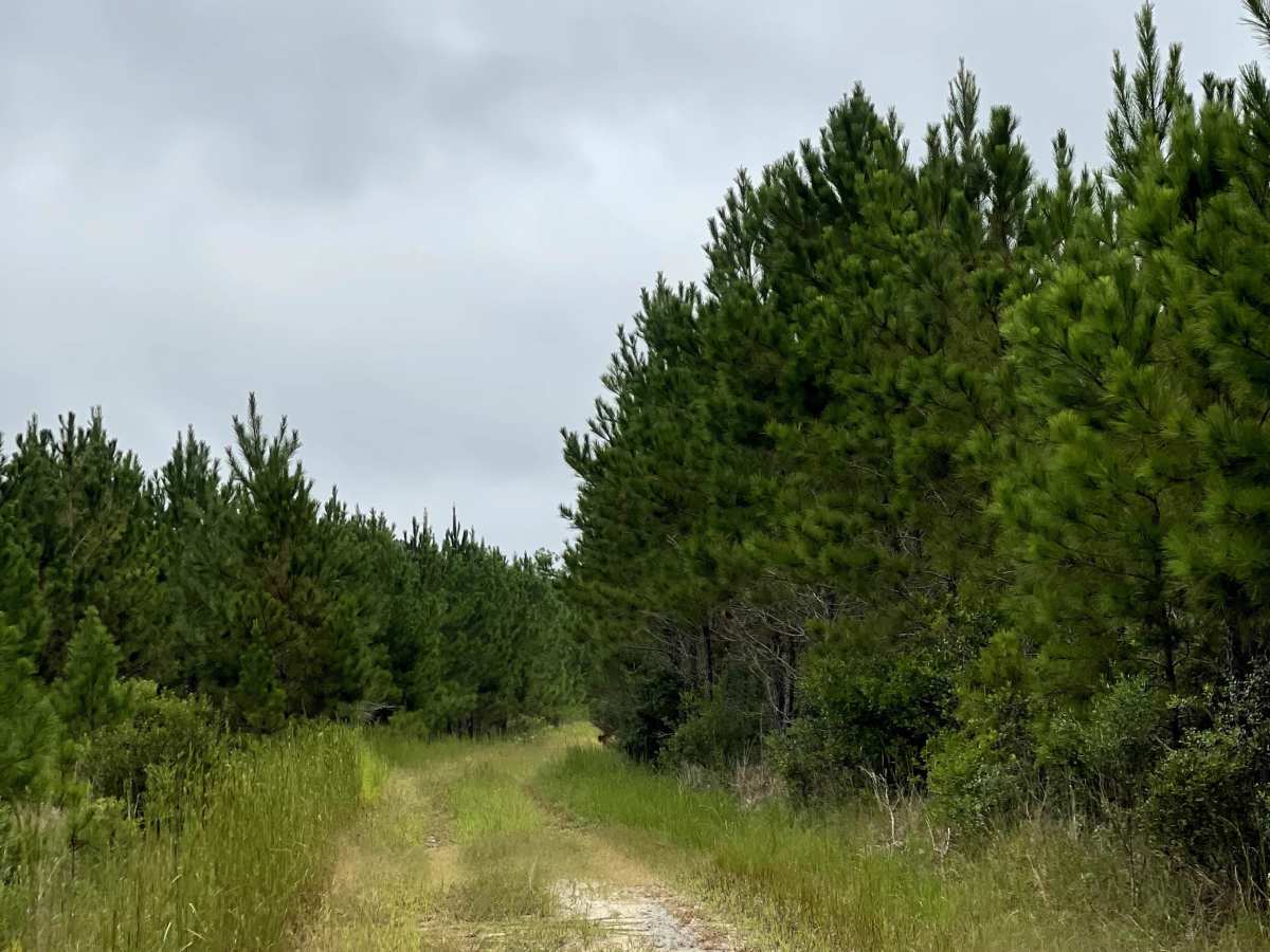
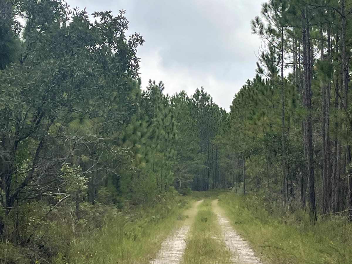
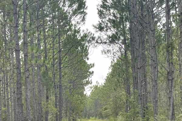
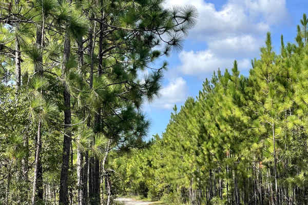
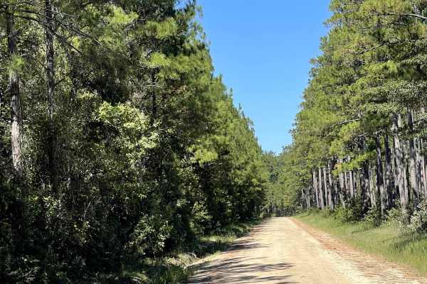
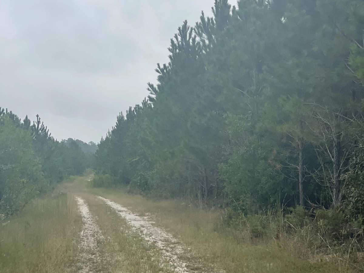
The Pines is a sandy two-track trail located within the coastal North Carolina trail network near Boiling Spring Lakes Preserve. This trail branches off Goose Pond Road and provides users with a shorter, more direct access route to Baxter Line Road, making it a convenient connector for those exploring the surrounding trail system. The trail consists primarily of sandy terrain and is generally free from major obstacles, making it suitable for most AWD and 4WD vehicles under dry conditions. Users should be aware that trail conditions and difficulty ratings can change significantly following rainfall, as sandy sections may develop standing water, soft spots, and muddy areas. As with other trails in this coastal network, checking conditions before proceeding is recommended, especially after periods of heavy rain.

Photos of The Pines

Difficulty

This is a well-maintained trail.

Technical Rating

1

The Pines Trail can be accessed by the following ride types:

  • Single Track
  • High Clearance
  • Full Width

The Pines Map

The onX Offroad Difference

onX Offroad combines trail photos, descriptions, difficulty ratings, width restrictions, seasonality, and more in a user-friendly interface. Available on all devices, with offline access and full compatibility with CarPlay and Android Auto. Discover what you're missing today!

Open Trail Map