Briar Patch Road

Total Miles3.4
Technical Rating
1Easy
Best TimeSpring, Summer, Fall, Winter
Trail TypeFull-Width Road
Accessible By
Open Trail Map

Trail Overview

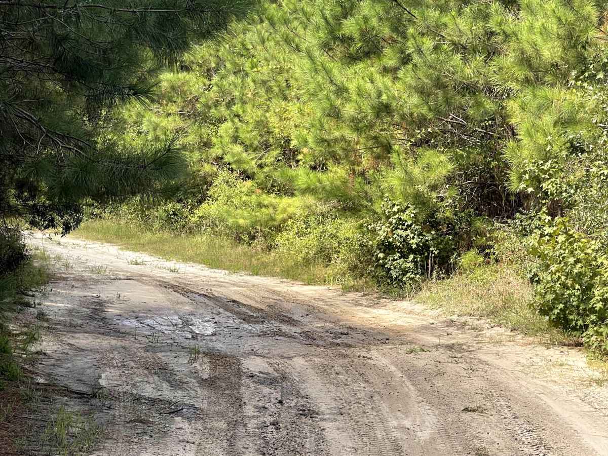
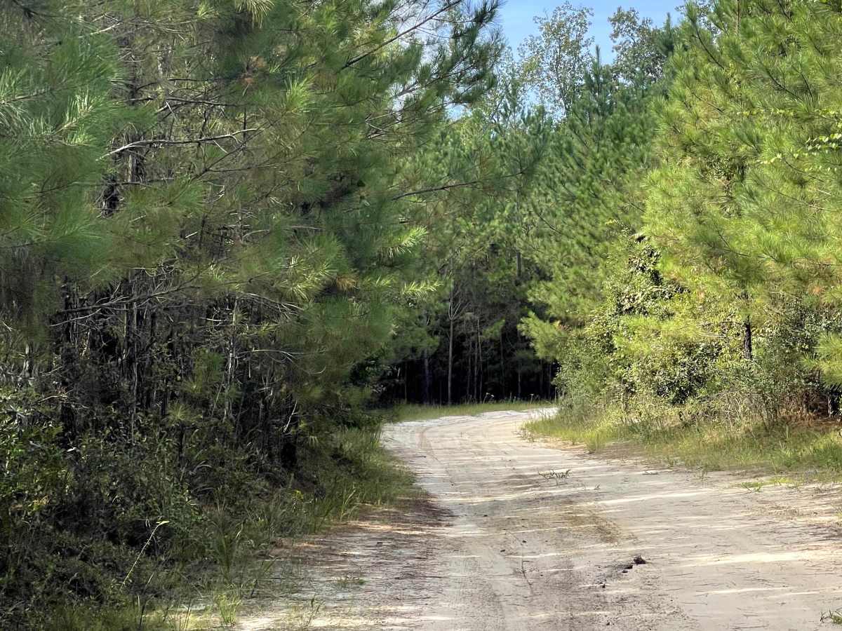
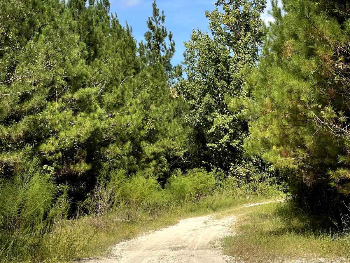
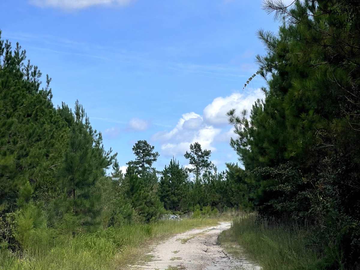
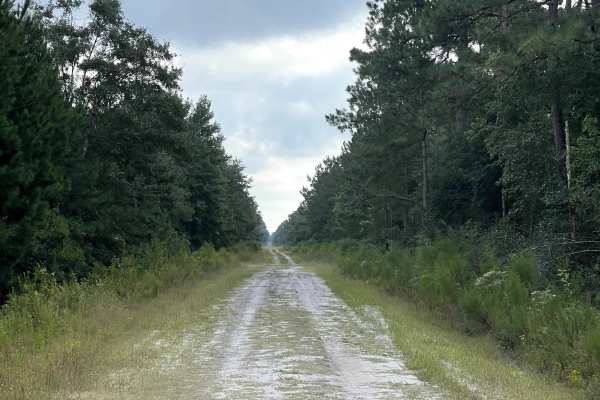
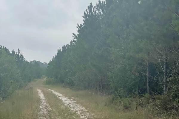
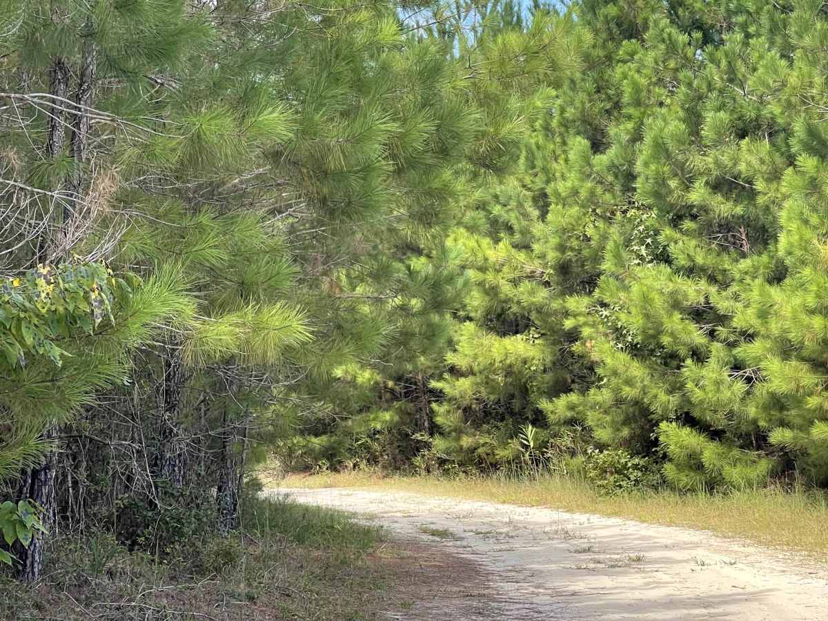
Briar Patch Road joins Goose Pond Road and gives users the opportunity to connect or loop together several of the area’s enjoyable coastal trails. The route travels through a mixture of coastal terrain and recently logged property, providing open views while remaining relatively close to the North Carolina coast. The main trail itself is free of major obstacles and should be manageable for most capable vehicles under normal conditions. Users should use caution when traveling near the edges of the established trail, however, as several large mud holes are located just off the main route. These areas can contain extremely deep, soft mud and should not be entered without an appropriately equipped vehicle and adequate recovery gear. Staying on the established trail provides an easy and enjoyable coastal drive.

Photos of Briar Patch Road

Difficulty

Some sections are rough with washboard surfaces, but drivers can generally maintain a reasonable speed. The hard-packed sand and dirt surface is suitable for most vehicles.

Technical Rating

1

Briar Patch Road Trail can be accessed by the following ride types:

  • Single Track
  • High Clearance
  • Full Width

Briar Patch Road Map

The onX Offroad Difference

onX Offroad combines trail photos, descriptions, difficulty ratings, width restrictions, seasonality, and more in a user-friendly interface. Available on all devices, with offline access and full compatibility with CarPlay and Android Auto. Discover what you're missing today!

Open Trail Map