
Beginner Off-Road Trails
Near Edgerton, Wyoming
Explore All Beginner Trails Near Edgerton, Wyoming
Beginner Off-Road Trails Near Edgerton, Wyoming
Discover the best beginner-friendly off-road trails near you. These easier, lower-rated trails are a great place to start — browse trail maps, check difficulty ratings, and find your next adventure.
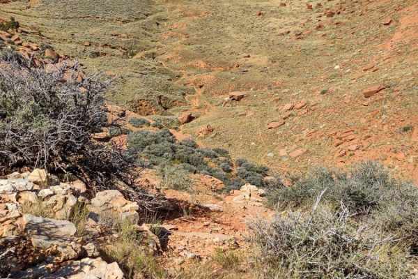
Hole In the Wall Overlook
This 40-mile trail starts in Kaycee, Wyoming, right off of I-25, and takes you to the canyon rim overlooking the Hole in the Wall Valley and Hole in the Wall Pass. You can stage in Kaycee and take Old Highway 87 south on the pavement to the underpass, which goes under I-25. From there, this track st...
Learn more about Hole In the Wall Overlook
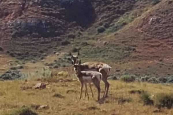
Where the Deer and the Antelope Play
From Kaycee, Wyoming, take Old Highway 87 south to where it crosses under I-25. It turns to dirt shortly after that, and you take TTT Road to West Willow Creek Road. West Willow Creek Road leads to this track. It's an easy trail through public lands where deer and antelope are plentiful. Beautif...
Learn more about Where the Deer and the Antelope Play
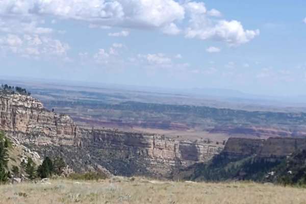
Outlaw Canyon Rim
From Outlaw Cave Campground/Hiking Trail, you go up to the rim of the canyon for a 6-mile ride. This trail offers spectacular views of Outlaw Canyon. If it's rained recently, the trail will be muddy. It's rocky in places, and parts of it are off-camber as you move along the sides of the hills abov...
Learn more about Outlaw Canyon Rim
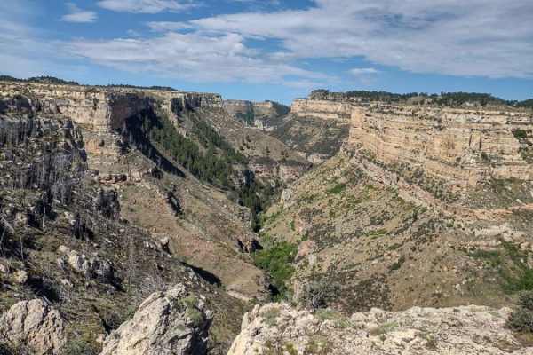
Outlaw Cave
This is an easy 9-mile trail using gravel roads leading to the Outlaw Cave Campground/parking area. From Kaycee, take Mayoworth Road west to Barnum Road. Take Barnum Road south to where it turns into dirt. You can stage around this area called Barnum, and then you take Barnum Mountain Road on this ...
Learn more about Outlaw Cave
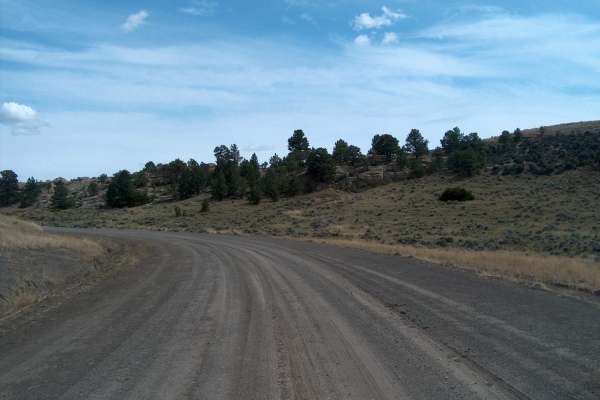
South Big Horn/Red Wall Scenic Backway
This designated Wyoming Scenic Backway makes a large semi-loop through the vastness of north-central Wyoming. It's a remarkable drive that crosses more than a hundred miles while catching the southern tail of the Bighorn Mountains. The lower elevations pass through oil patches before climbing higher...
Learn more about South Big Horn/Red Wall Scenic Backway
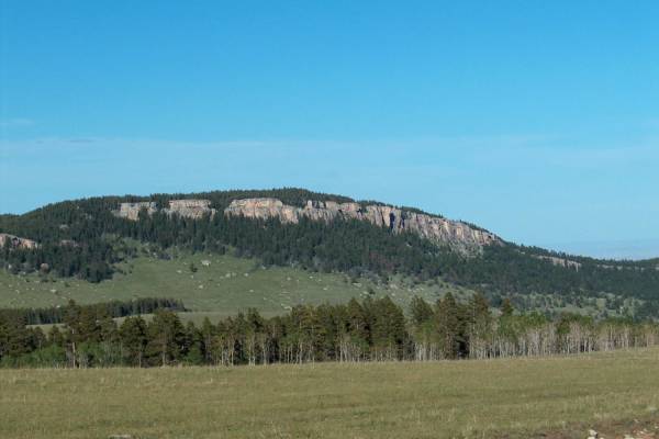
Slip Road
Slip Road offers a scenic and moderately challenging 37.5-mile dirt and gravel traverse for drivers looking to experience the rugged beauty of the southern Bighorn National Forest. Connecting the high-altitude forests of Hazelton Road to the small community of Mayoworth, this route features spectacu...
Learn more about Slip Road
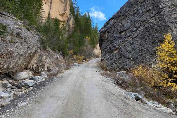
Crazy Woman Canyon Road
The canyon is a spectacular sight, and one of the best nature attractions in Northeast Wyoming. The road that winds through the canyon is lined with steep cliffs on both sides and immense boulders. Crazy Woman Canyon Road is approximately 13 miles long and follows Crazy Woman Creek through the canyo...
Learn more about Crazy Woman Canyon Road
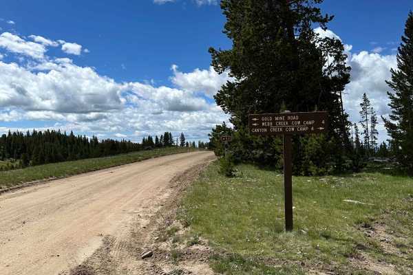
Gold Mine Road
This trail is well maintained and easy to drive, making it a great option for beginners or anyone looking for a relaxing outing. If you start at the north end of the trail, you'll encounter a creek crossing that is roughly 6–10 inches deep. The water is typically slow-moving, making the crossing str...
Learn more about Gold Mine Road
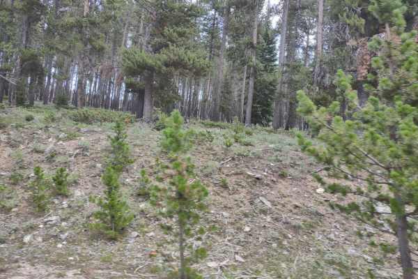
Kingsbury/Todd Cabin to Hazelton Road
This trail goes through beautiful Bighorn Mountain meadows. There are numerous camping sites...just park your camper anywhere and stay for 2 weeks for free. You won't see neighbors anywhere close, and you're very likely to have moose and elk wander by your campsite. The historical cabin is restored...
Learn more about Kingsbury/Todd Cabin to Hazelton Road
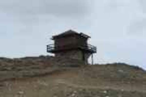
Sheep Mountain Fire Lookout Tower
The Sheep Mountain Fire Lookout Tower trail is an easy, 17.7-mile off-road route in Wyoming's Bighorn National Forest. Branching off Highway 16 west of Buffalo, this unpaved road climbs from 8,200 feet to the historic fire lookout at 9,600 feet. Rated 2 in technical difficulty, the trail is suitable...
Learn more about Sheep Mountain Fire Lookout Tower
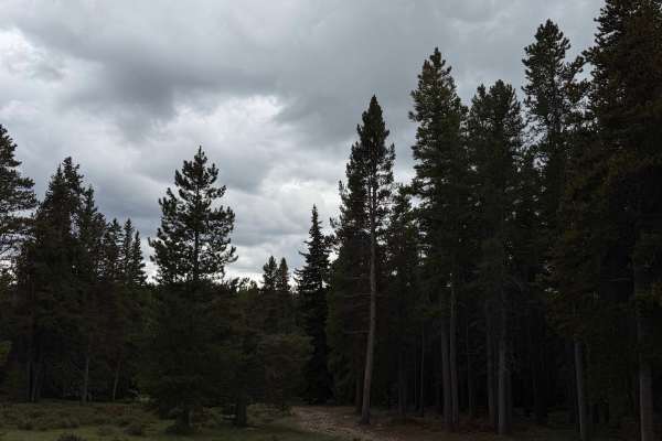
Circle Cut Across
From Highway 16, turn onto Circle Park Road, then turn left toward South Clear Creek. When the road forks, take the right-hand route. If you’re adding this trail to South Clear Creek to create a longer loop, take the same right turn at the fork.
This variation is much more challenging, especially w...
Learn more about Circle Cut Across
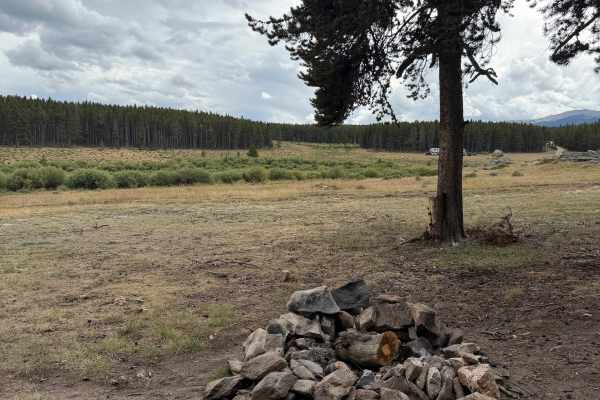
Circle Park
Located about 15 miles from the center of Buffalo, this trail begins directly off Highway 16. The main dirt road is suitable for most vehicles under dry conditions and leads to beautiful dispersed campsites. Several other trails branch off left from Circle Park, offering access to more areas to expl...
Learn more about Circle Park
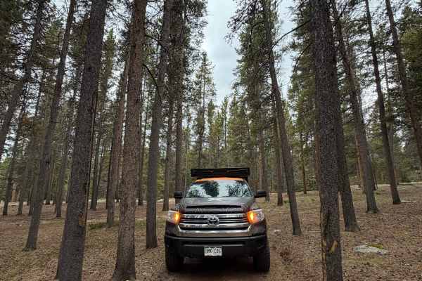
Circle Cut Across Loop
Add this loop to Circle Cut Across for a more technical variation. When you reach the fork near the end of the trail, turn right instead of left. The loop travels through narrow trees and follows a rutted road with loose rock. Four-wheel drive and high clearance are strongly recommended for this add...
Learn more about Circle Cut Across Loop
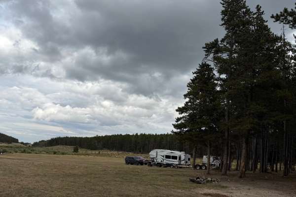
South Clear Creek Trail
This trail begins off Circle Park Road from Highway 16. Take the first left at the initial junction, then stay left when the trail splits again. The route passes through a beautiful open meadow with dispersed campsites, followed by several more shaded campsites tucked into the trees.
The dirt road ...
Learn more about South Clear Creek Trail
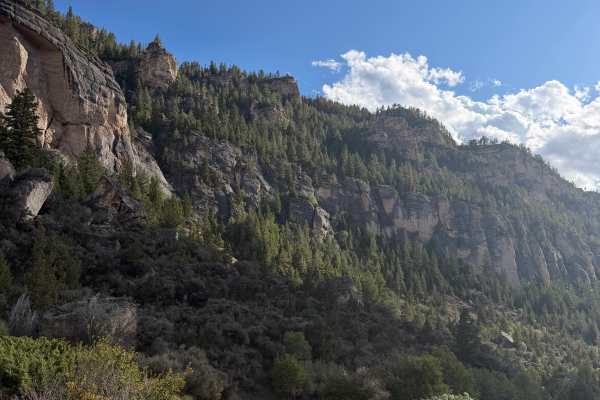
Old Highway 16
This incredibly beautiful scenic old road follows Old Highway 16 and can be traveled in either direction, connecting to Highway 16 on both ends. The road is generally easy and suitable for most vehicles during summer; four-wheel drive and high clearance are not necessary under dry conditions. Expect...
Learn more about Old Highway 16
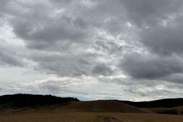
Grouse Mountain Meadow
The road leaves US-16 between Buffalo and Ten Sleep and rolls through a beautiful open meadow, passing a handful of wide-open, quiet dispersed campsites before reaching a green pipe gate. The gate marks the start of the seasonal closure, so be sure to check closure dates before heading out.
Past th...
Learn more about Grouse Mountain Meadow
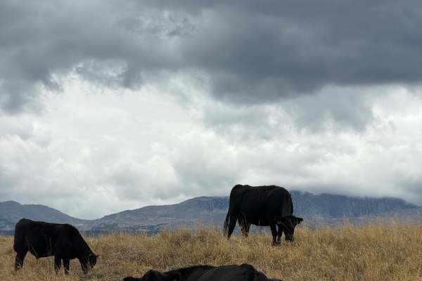
Cull Watt
This road starts at US-16 from Road 403, about 15 minutes west of Buffalo. It begins at a swing-arm barricade next to the 366 marker and the posted mud warning sign, then follows a mellow two-track across open grassland. Expect cattle grazing right alongside the road, so take it slow and give them r...
Learn more about Cull Watt
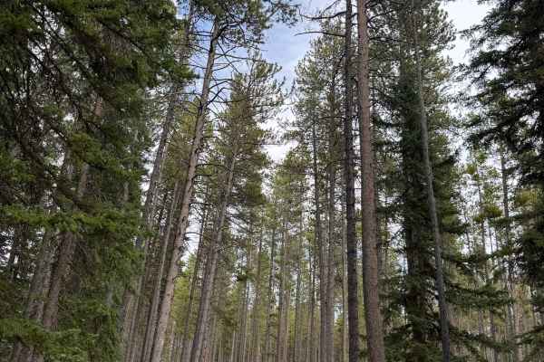
Middle Fork Campground Road
This is a graded gravel road that turns off US-16 in the Bighorn National Forest at the Middle Fork Campground sign and cattle guard. The road runs through dense spruce and lodgepole forest along the Middle Fork of Clear Creek, passing the developed campground sites with picnic tables and fire rings...
Learn more about Middle Fork Campground Road
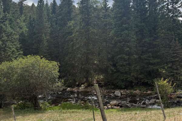
Cabin Road Trail
This is a short, five-minute out-and-back trail located off Highway 16, with a couple of beautiful dispersed campsites along the way. Any standard vehicle should be able to complete it under dry conditions. There is one tiny creek crossing, but no obstacles. The road runs alongside cabins that are o...
Learn more about Cabin Road Trail
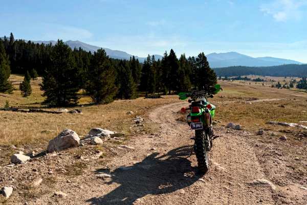
East Tensleep Lake
This is an easy trail at the beginning, changing to moderate towards the end. This 4x4 trail travels from Highway 16 through meadows and wooded areas to reach hiking trails that access East Tensleep Lake. The trail starts as an easy dirt road in the pines with a couple of narrow sections with embedd...
Learn more about East Tensleep Lake
Beginner ATV trails near Edgerton, Wyoming
Explore ATV-friendly trails near you. These trails are accessible for vehicles up to 50 inches wide, perfect for ATVs and smaller off-road machines.
Hole In the Wall Overlook
This 40-mile trail starts in Kaycee, Wyoming, right off of I-25, and takes you to the canyon rim overlooking the Hole in the Wall Valley and Hole in the Wall Pass. You can stage in Kaycee and take Old Highway 87 south on the pavement to the underpass, which goes under I-25. From there, this track st...
Learn more about Hole In the Wall Overlook
Where the Deer and the Antelope Play
From Kaycee, Wyoming, take Old Highway 87 south to where it crosses under I-25. It turns to dirt shortly after that, and you take TTT Road to West Willow Creek Road. West Willow Creek Road leads to this track. It's an easy trail through public lands where deer and antelope are plentiful. Beautif...
Learn more about Where the Deer and the Antelope Play
Outlaw Canyon Rim
From Outlaw Cave Campground/Hiking Trail, you go up to the rim of the canyon for a 6-mile ride. This trail offers spectacular views of Outlaw Canyon. If it's rained recently, the trail will be muddy. It's rocky in places, and parts of it are off-camber as you move along the sides of the hills abov...
Learn more about Outlaw Canyon Rim
Outlaw Cave
This is an easy 9-mile trail using gravel roads leading to the Outlaw Cave Campground/parking area. From Kaycee, take Mayoworth Road west to Barnum Road. Take Barnum Road south to where it turns into dirt. You can stage around this area called Barnum, and then you take Barnum Mountain Road on this ...
Learn more about Outlaw Cave
Beginner UTV/side-by-side trails near Edgerton, Wyoming
Find UTV and side-by-side trails near you. These trails accommodate vehicles up to 60 inches wide, ideal for UTVs, side-by-sides, and wider off-road rigs.
Hole In the Wall Overlook
This 40-mile trail starts in Kaycee, Wyoming, right off of I-25, and takes you to the canyon rim overlooking the Hole in the Wall Valley and Hole in the Wall Pass. You can stage in Kaycee and take Old Highway 87 south on the pavement to the underpass, which goes under I-25. From there, this track st...
Learn more about Hole In the Wall Overlook
Where the Deer and the Antelope Play
From Kaycee, Wyoming, take Old Highway 87 south to where it crosses under I-25. It turns to dirt shortly after that, and you take TTT Road to West Willow Creek Road. West Willow Creek Road leads to this track. It's an easy trail through public lands where deer and antelope are plentiful. Beautif...
Learn more about Where the Deer and the Antelope Play
Outlaw Canyon Rim
From Outlaw Cave Campground/Hiking Trail, you go up to the rim of the canyon for a 6-mile ride. This trail offers spectacular views of Outlaw Canyon. If it's rained recently, the trail will be muddy. It's rocky in places, and parts of it are off-camber as you move along the sides of the hills abov...
Learn more about Outlaw Canyon Rim
Outlaw Cave
This is an easy 9-mile trail using gravel roads leading to the Outlaw Cave Campground/parking area. From Kaycee, take Mayoworth Road west to Barnum Road. Take Barnum Road south to where it turns into dirt. You can stage around this area called Barnum, and then you take Barnum Mountain Road on this ...
Learn more about Outlaw Cave
The onX Offroad Difference
onX Offroad combines trail photos, descriptions, difficulty ratings, width restrictions, seasonality, and more in a user-friendly interface. Available on all devices, with offline access and full compatibility with CarPlay and Android Auto. Discover what you're missing today!
Open Trail Map