Trail Overview
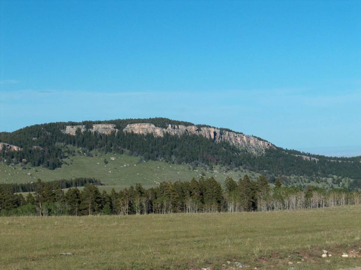
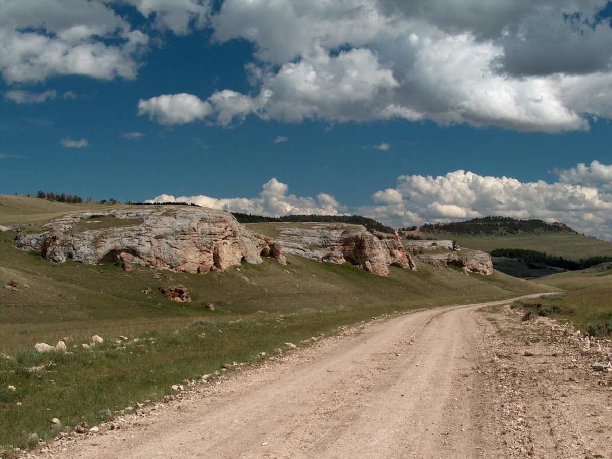
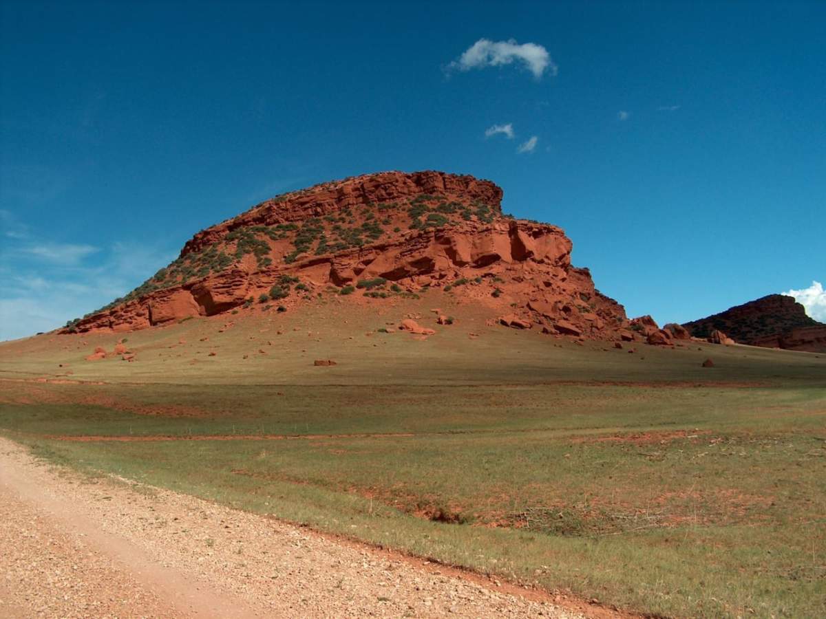
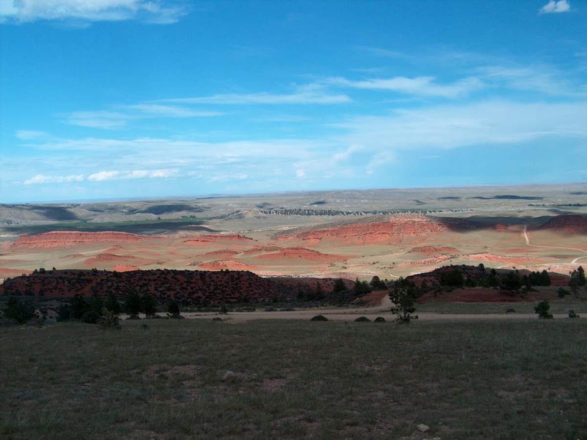
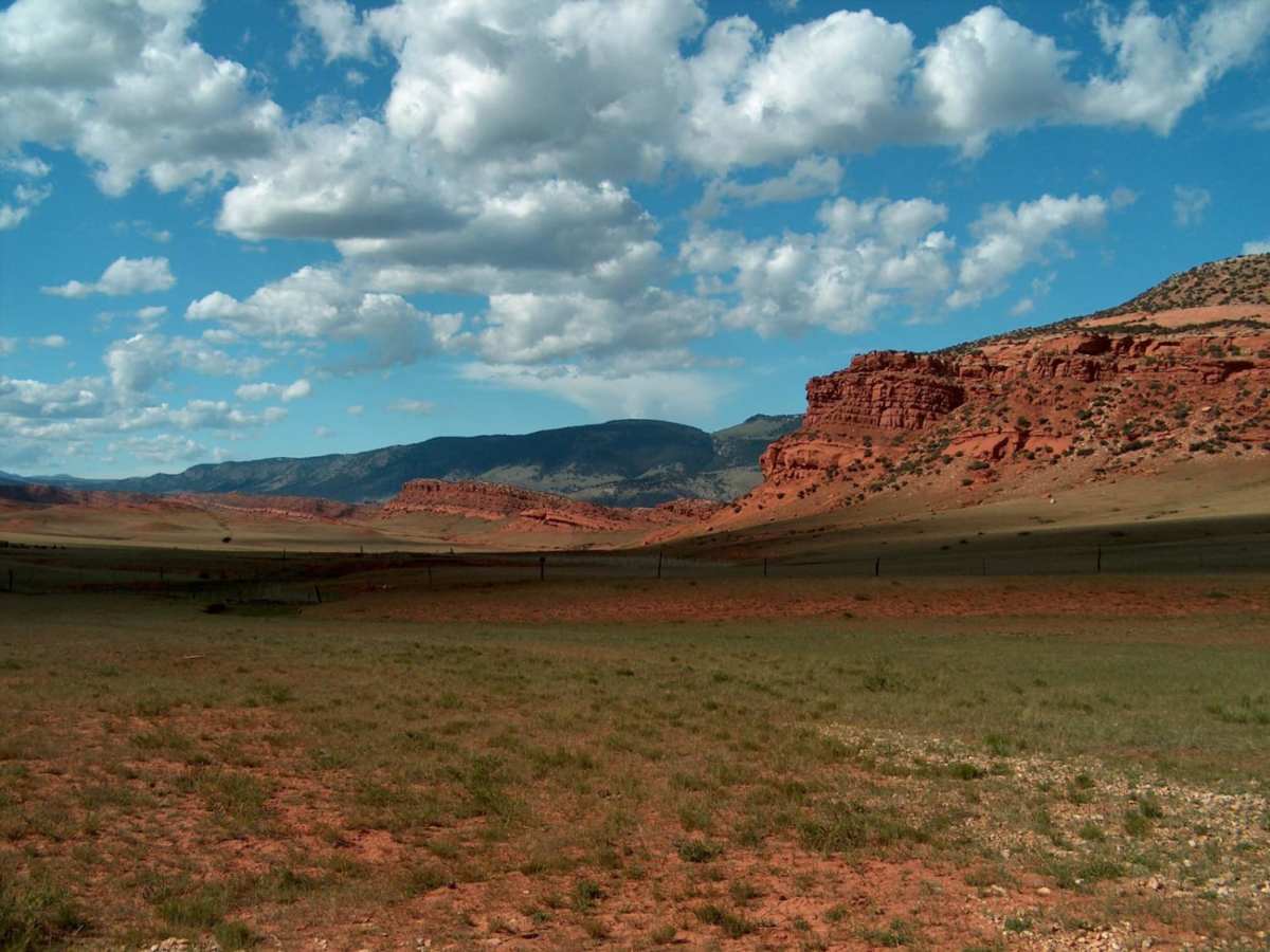
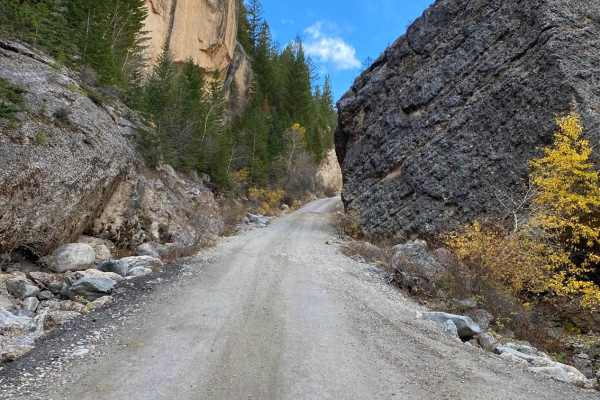
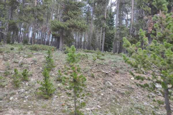
Slip Road offers a scenic and moderately challenging 37.5-mile dirt and gravel traverse for drivers looking to experience the rugged beauty of the southern Bighorn National Forest. Connecting the high-altitude forests of Hazelton Road to the small community of Mayoworth, this route features spectacular vistas of broad meadows, patchy pine forests, and dramatic red bluffs. The elevation ranges from 5,228 feet at its lower end to a peak of 8,459 feet, presenting drivers with a cumulative elevation gain of nearly 2,970 feet. While the route is graded with a technical rating of 3, the steep switchbacks and extreme grades demand caution, as they can easily stress vehicle engines and brakes. A high-clearance four-wheel-drive vehicle or capable SxSs are highly recommended to safely navigate these sustained inclines and variable terrain.
Historical charm abounds along this corridor, where the sweeping landscapes show little sign of modern development, making it easy to imagine the days when Butch Cassidy and the Sundance Kid frequented these foothills. The region remains active today for cattle ranching and sheep grazing, meaning travelers should remain alert for livestock and slow-moving agricultural vehicles. Due to the clay-rich soils on the upper mountain segments, weather plays a critical role in the road's passability, as heavy rains can quickly turn the dirt into slick mud and trigger flash floods in nearby parched creek beds. In contrast, the lower half of the route is heavily graveled and stands up much better during wet weather, but checking local conditions remains essential before embarking on this journey.
Difficulty
While this is typically an easy route to drive, wet conditions can cause the road to become dangerously slippery. Further, the inclines found along the switchbacks are so steep that it's possible to over heat your engine or brakes. A 4WD vehicle is recommended.
Access Description
No permits or fees are required to drive Slip Road. The upper sections of the road are not maintained during winter and typically become impassable due to snowpack. Travelers should check local weather forecasts before departure, as summer thunderstorms can cause flash flooding in low-lying creek beds and turn the ungraveled upper clay sections extremely slick.