Trail Overview
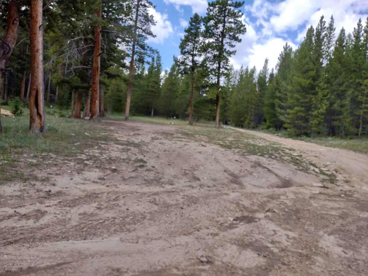
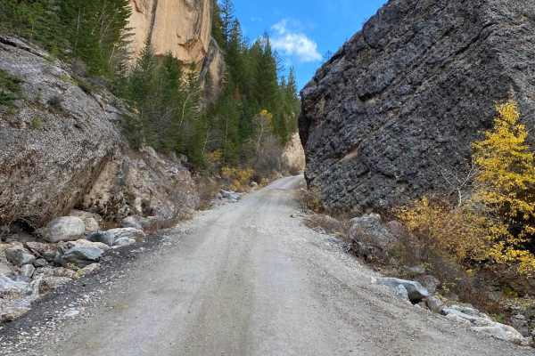
The Sheep Mountain Fire Lookout Tower trail is an easy, 17.7-mile off-road route in Wyoming's Bighorn National Forest. Branching off Highway 16 west of Buffalo, this unpaved road climbs from 8,200 feet to the historic fire lookout at 9,600 feet. Rated 2 in technical difficulty, the trail is suitable for most high-clearance vehicles, though it narrows in places and crosses a few creeks over bridges or culverts.
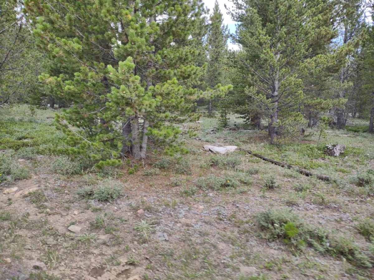
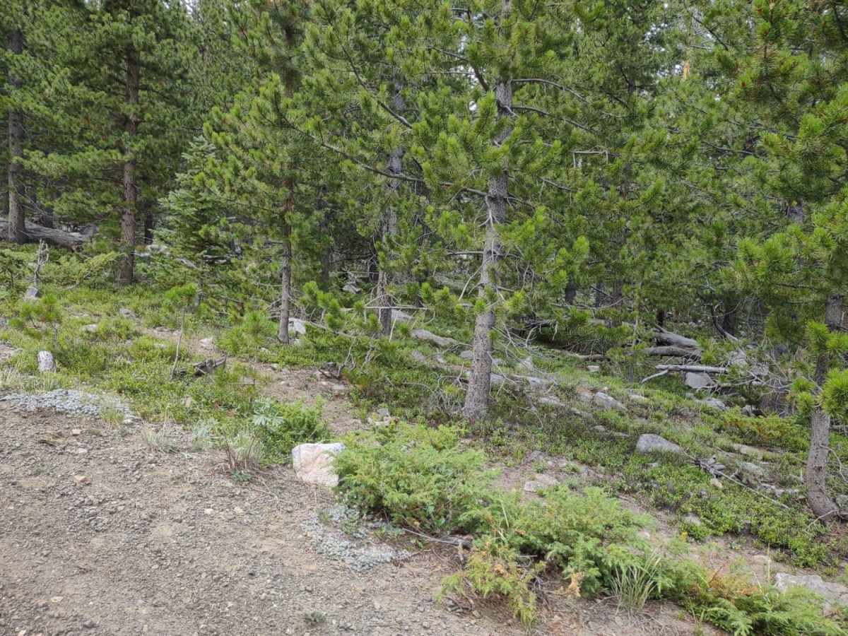
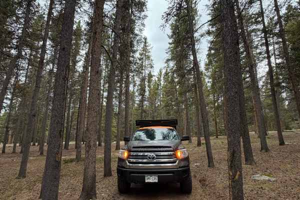
Primitive camping spots are available along the route. At the summit stands the historic 1950 fire lookout, along with a picnic area and an outhouse. The lookout cabin is available for public overnight rentals. When unoccupied, the catwalk offers 360-degree views of the Cloud Peak Wilderness and Bighorn Basin. The trail is best traveled from late spring through autumn.
Difficulty
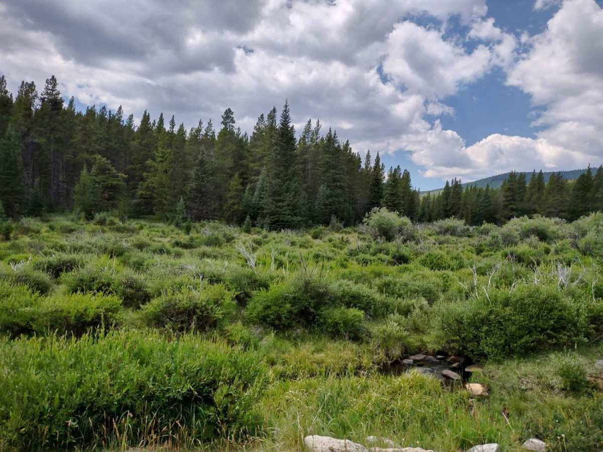
There is nothing difficult about this trail, but it is narrow in places. It crosses a couple of creeks, but there are culverts or bridges.
History
The Sheep Mountain Fire Lookout was constructed in 1950 by the Civilian Conservation Corps. Situated at 9,600 feet in the Bighorn Mountains of Wyoming, it served as an active fire detection tower for the Forest Service during the mid-20th century. It is now listed on the National Historic Lookout Register.
Access Description
The road is seasonal and typically open from late spring or early summer through autumn, depending on snowpack levels. The fire lookout cabin is available for public overnight rentals through the U.S. Forest Service on Recreation.gov. If the cabin is occupied by renters, visitors are asked to respect their privacy and limit activities to the surrounding picnic area.