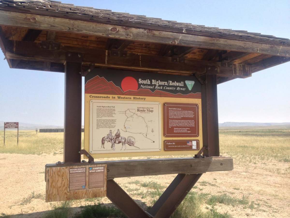
South Big Horn/Red Wall Scenic Backway

Total Miles 99.6
Technical Rating
3 Easy
Best Time Summer, Fall
Trail Type Full-Width Road
Accessible By
Open Trail Map

Trail Overview

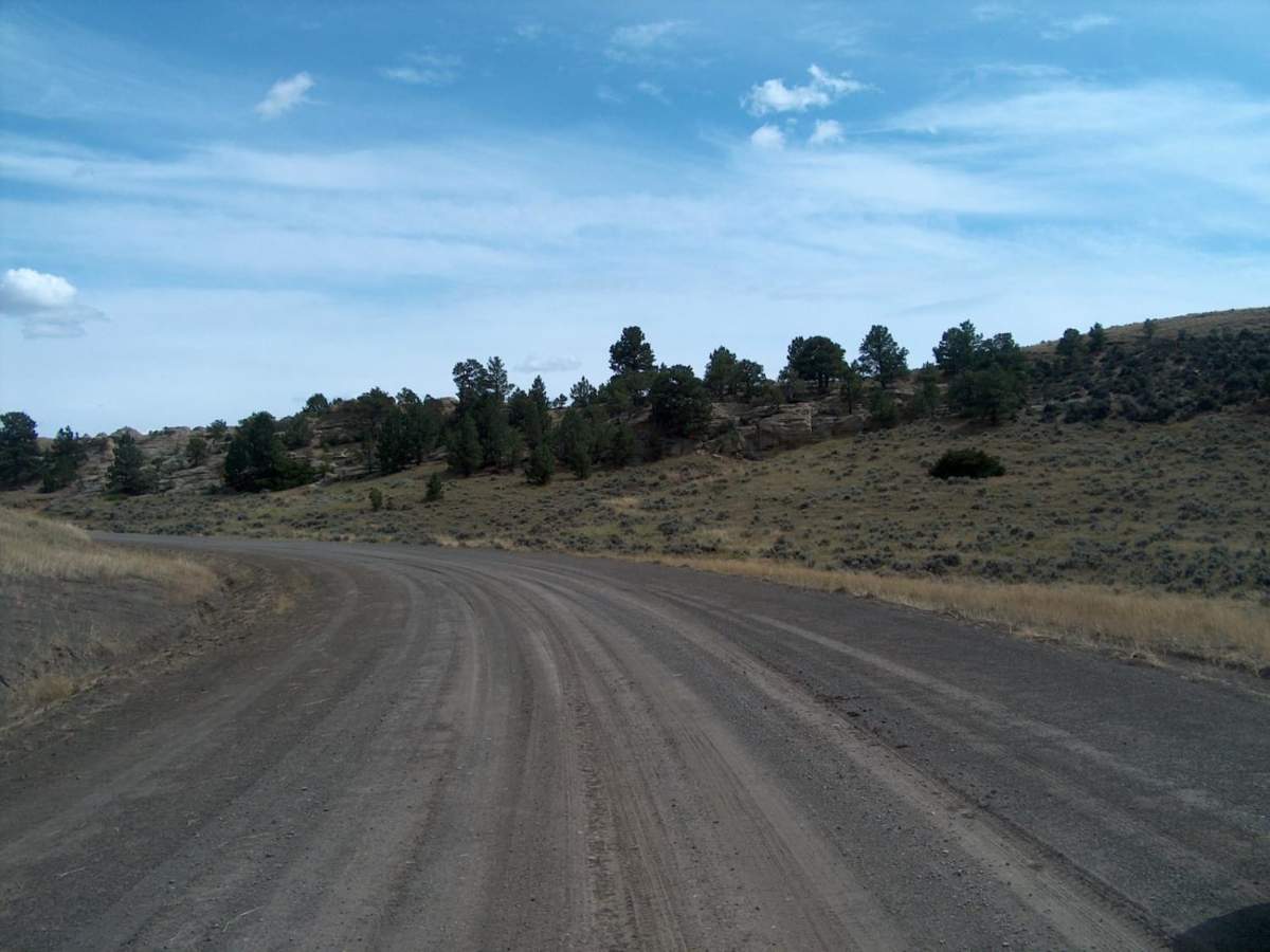
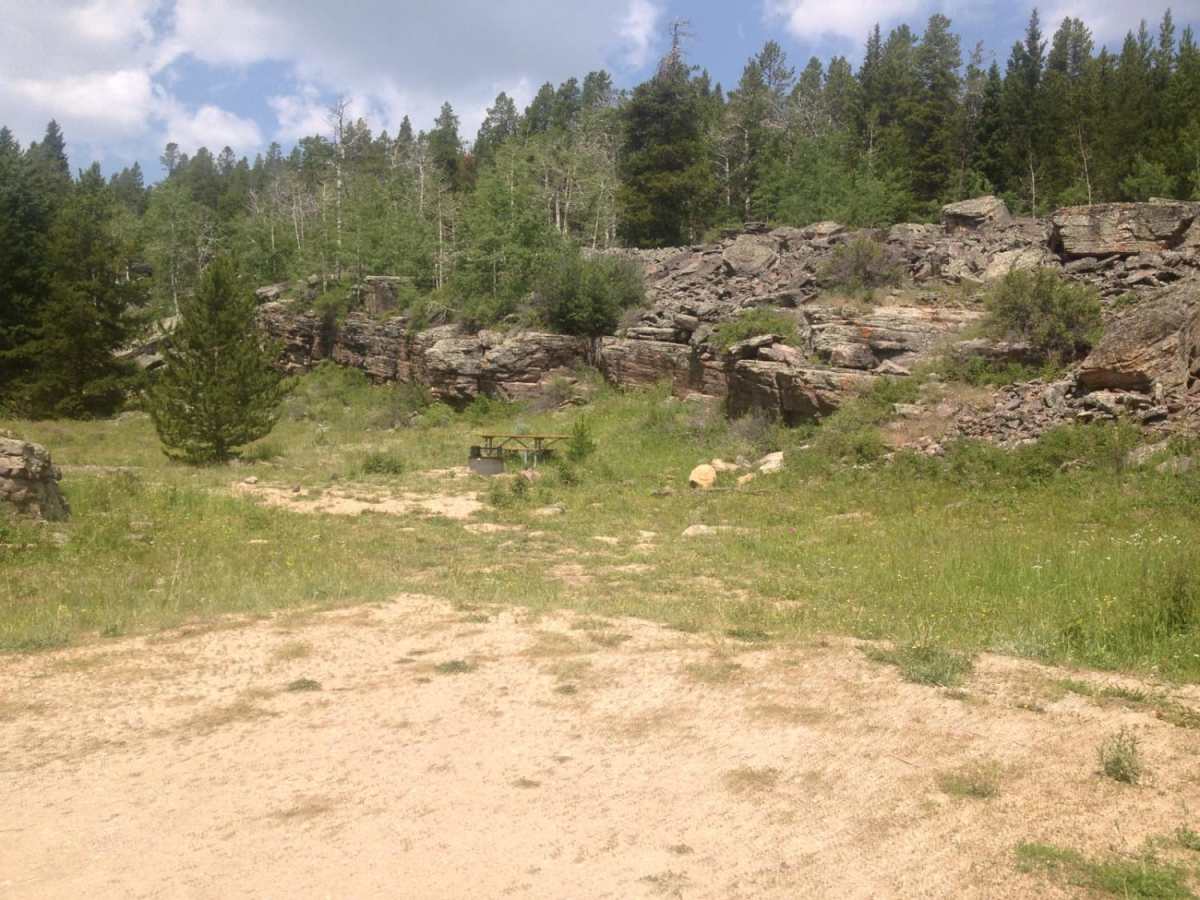
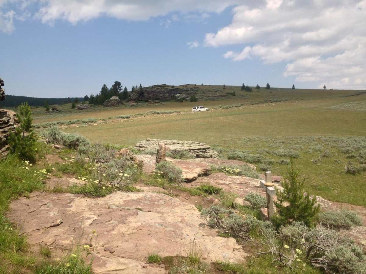
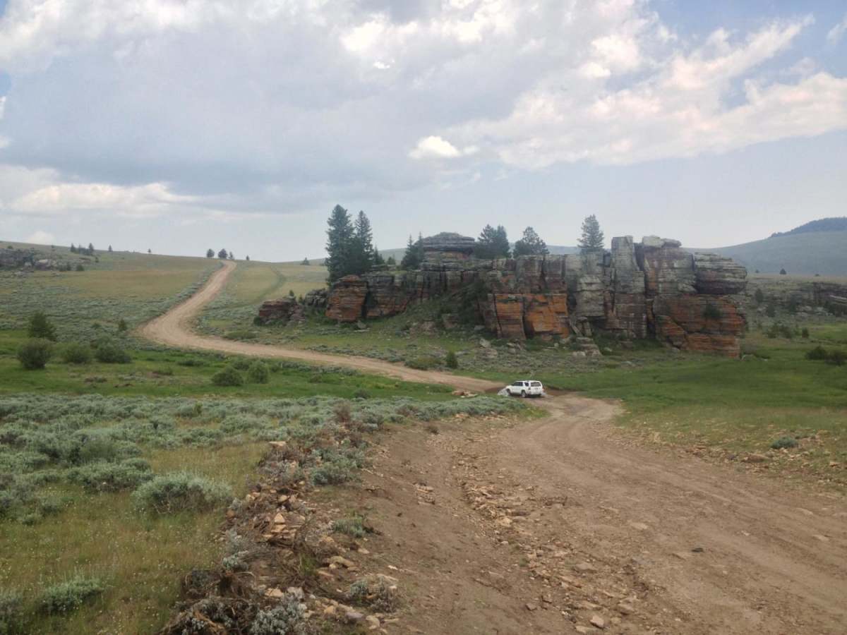
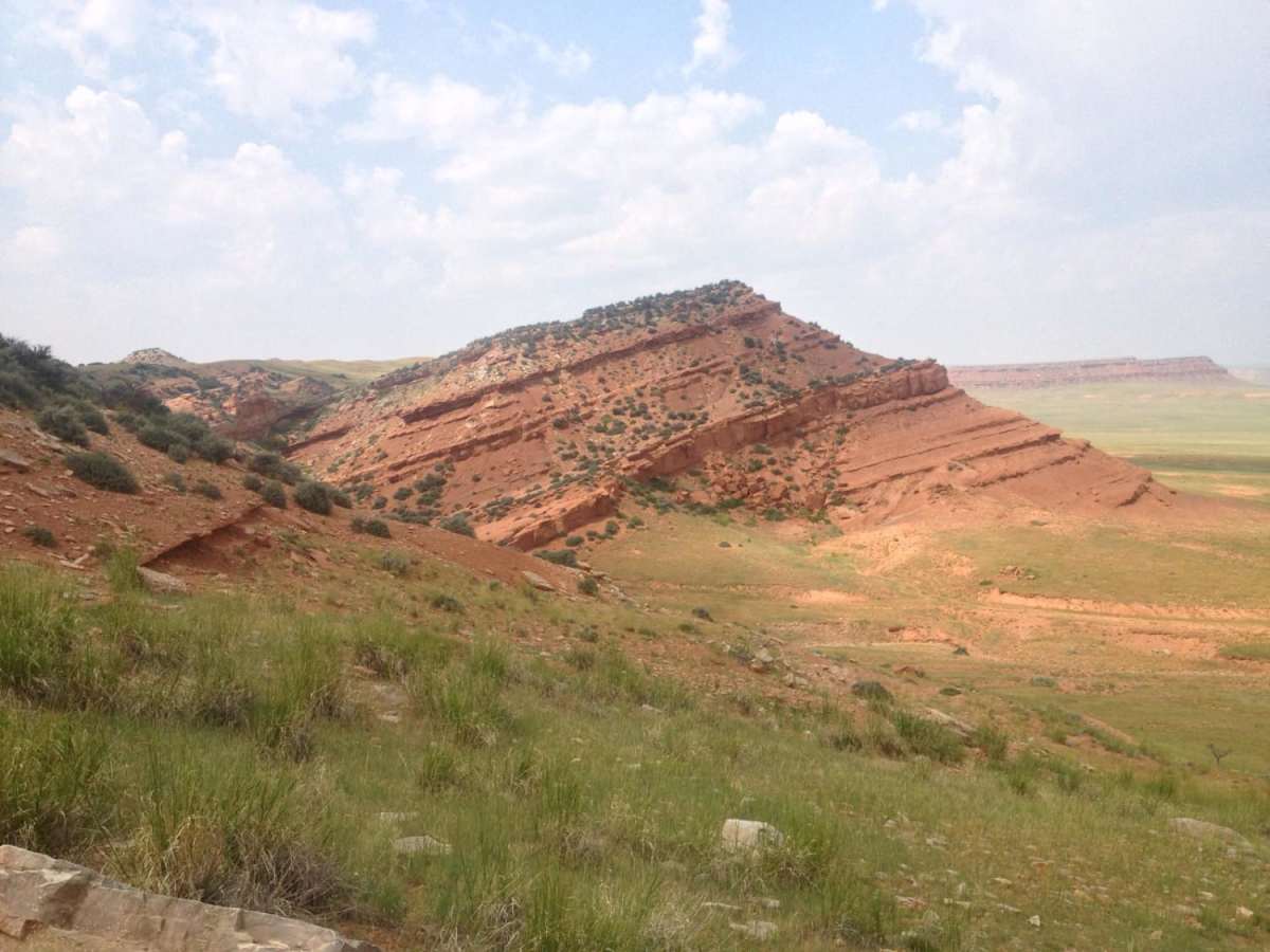
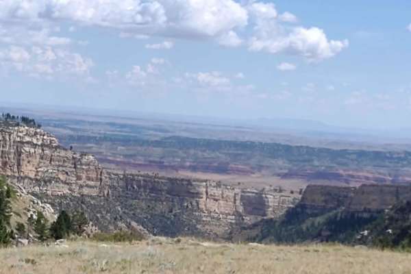
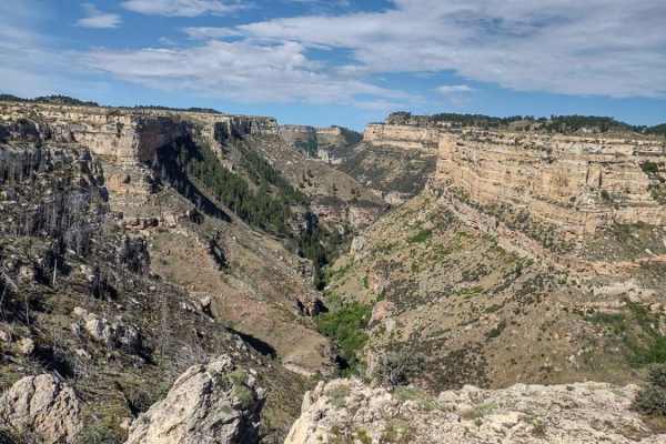
This designated Wyoming Scenic Backway makes a large semi-loop through the vastness of north-central Wyoming. It's a remarkable drive that crosses more than a hundred miles while catching the southern tail of the Bighorn Mountains. The lower elevations pass through oil patches before climbing higher beside massive red scarps and buttes. Higher still, the road reaches intermittent forests and sweeping open uplands near a couple of lightly-visited campgrounds. On the northern side of the loop, watch for a sign marking Roughlock Hill; this is where pioneers would lock their wheels and slide their wagons down the steep slope. Be sure to fill your tank before tackling this drive and don't hesitate to turn back if road conditions are not favorable.

Photos of South Big Horn/Red Wall Scenic Backway

Difficulty

Nearly a third of this drive is paved and the remaining unpaved portion is in relatively good condition. The rougher and more primitive upper portion, which follows the Big Horn Mountain Road (CR 109/ CR 110), can be bypassed if needed. This higher road includes steeper grades, a rocky road surface, and a few shallow fords. Snowdrifts, even into late spring, and wet summertime weather can also make travel difficult. This road is not recommended in the off season.

History

Aside from the wagon trains that passed through this area generations ago, a number of historical stock driveways also crisscross this rough country. Today, the land is mostly used for recreation, sheepherding, ranching, and oil production.

Technical Rating

3

Status Reports

Add Status Report
A WF
Oct 11, 2025
Open
The middle section of the trail is what I would call the stair master, stair stepper which will wear you out if you have stiff suspension. The layers of rock within the formation are exactly like driving up and down steps. Finding the right speed to have your suspension take up some of the rough surface is key. Be prepared for potential greasy like mud if it has rained. There are a couple of water crossings that are less than a foot deep but might be deeper in spring runoff. I wouldn't recommend driving anything that has street tires with shallow tread or thin sidewall/ low profile type tires due to possible sidewall bruising or cuts with sharp edges on rocks. Some AWD vehicles might be ok with a good driver on street tires or vehicles with modifications but otherwise might encounter damage. Old tire treads along the road throughout the loop indicate street tires and trailer tires will fail first. Starting on the Arminto side has more to see.
Tim McArthur
Sep 25, 2025
Open
Easy dirt road but for the portion up the mountain where there are two campgrounds and some amazing views. The road itself isnt bad at all, but there are some good grades that will make a weak vehicle suffer. One creek crossing that was a good foot or more deep.. Dont miss out on the view of Red Wall as you pass by
Jason Chavez
Jun 22, 2025
Open
Cows and cow pies. A few water crossings on the back country byway. Pleasurable ride.
chase sunnenberg
Nov 26, 2024
Open
About 2 ft of snow covering the trail impassable

South Big Horn/Red Wall Scenic Backway Trail can be accessed by the following ride types:

  • Single Track
  • 50 Inch
  • 60 Inch
  • High Clearance
  • Full Width

South Big Horn/Red Wall Scenic Backway Map

The onX Offroad Difference

onX Offroad combines trail photos, descriptions, difficulty ratings, width restrictions, seasonality, and more in a user-friendly interface. Available on all devices, with offline access and full compatibility with CarPlay and Android Auto. Discover what you're missing today!

Open Trail Map