Trail Overview
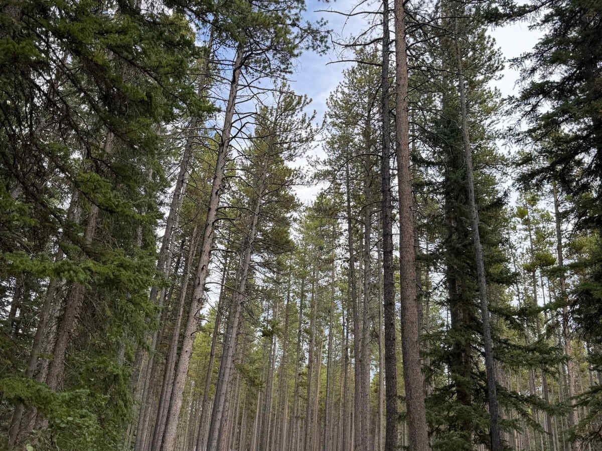
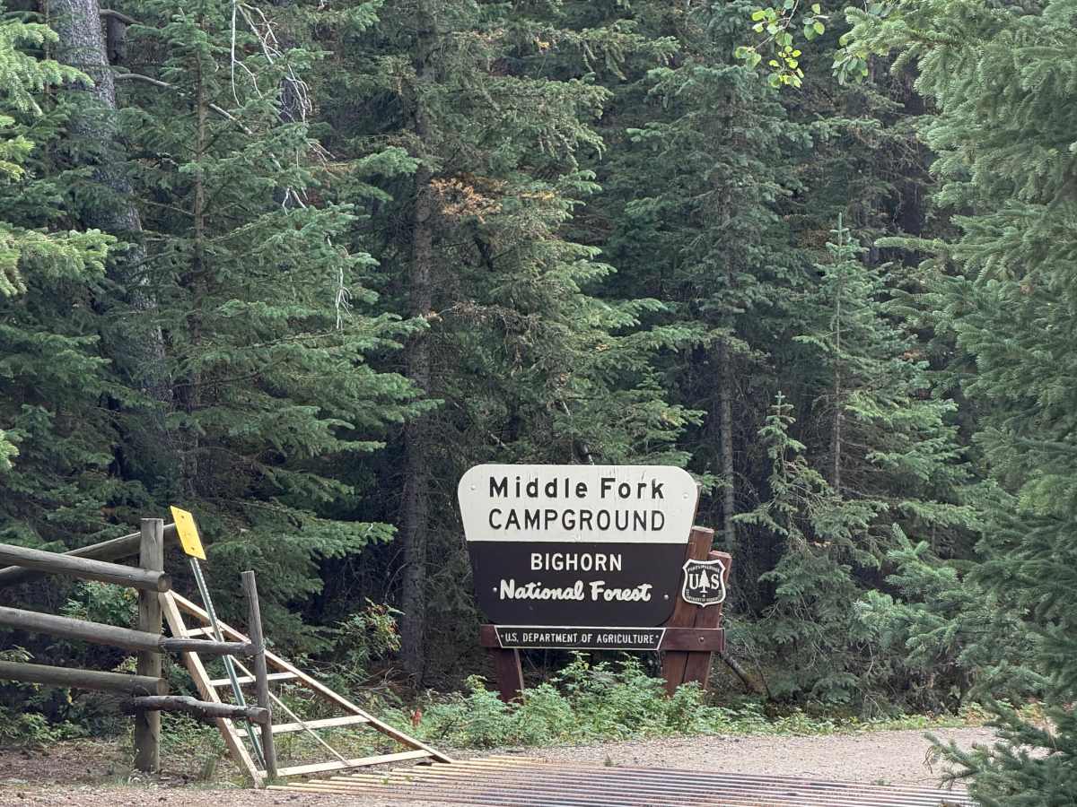
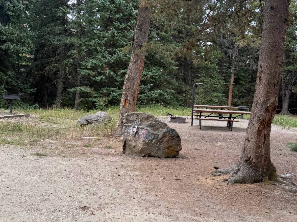
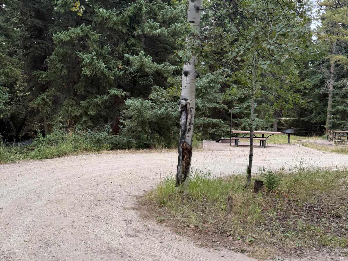
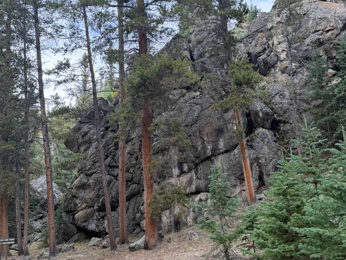
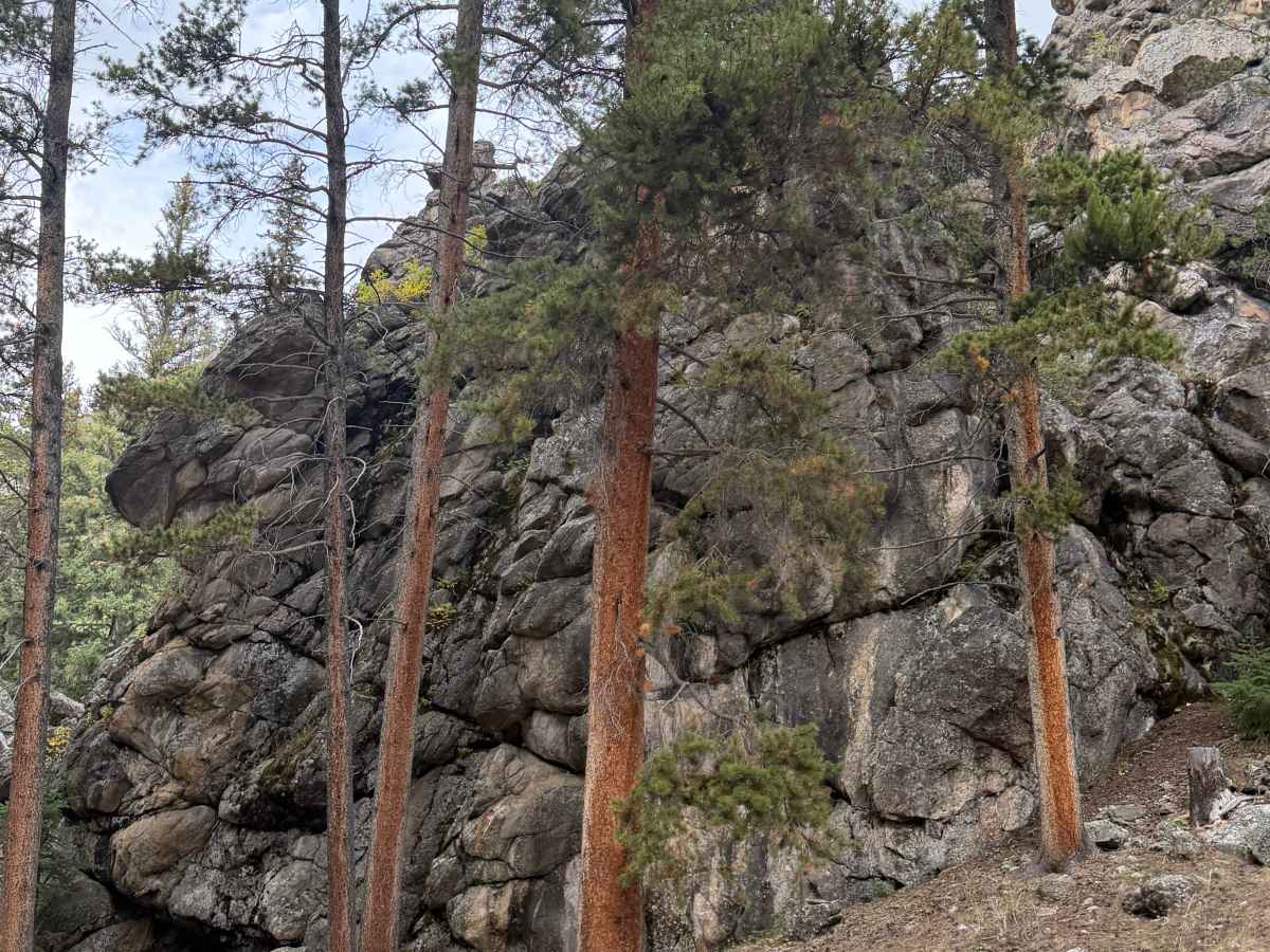
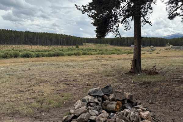
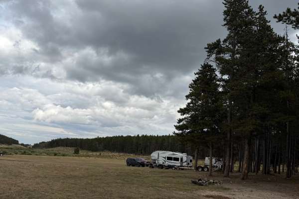
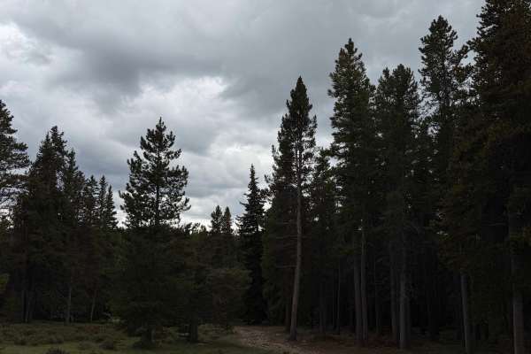
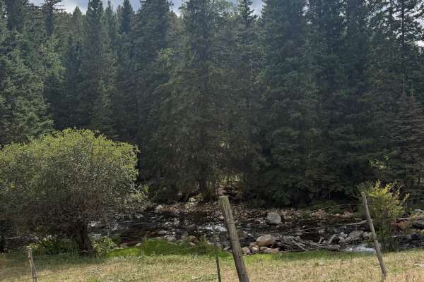
This is a graded gravel road that turns off US-16 in the Bighorn National Forest at the Middle Fork Campground sign and cattle guard. The road runs through dense spruce and lodgepole forest along the Middle Fork of Clear Creek, passing the developed campground sites with picnic tables and fire rings. Just past the campground, the road crosses the creek on a wooden plank bridge with a steel deck, which is the only feature of note on the whole route. Beyond the bridge, the road passes a red log cabin and a stretch of granite outcrops and aspen before entering a cluster of private summer cabins. It dead-ends at the last cabin, marked by a dead-end sign, so plan on turning around there. Well-maintained gravel the whole way, suitable for any vehicle.
Difficulty
Maintained dirt and gravel road with no obstacles. The wooden bridge over the creek is the only thing that could be called a feature, and it is single lane with a solid deck. Any passenger car can drive this. Watch for campers and residents since the road serves the campground and cabins.