
Beginner Off-Road Trails
Near Dixon, Wyoming
Explore All Beginner Trails Near Dixon, Wyoming
Beginner Off-Road Trails Near Dixon, Wyoming
Discover the best beginner-friendly off-road trails near you. These easier, lower-rated trails are a great place to start — browse trail maps, check difficulty ratings, and find your next adventure.
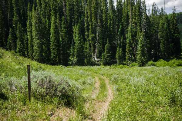
Nipple Peak ATV Trail
This is an easy 50-inch trail in the Hahn's Peak trail system north of Steamboat, Colorado. The trail has some loose sticks, small roots, and rocks as it goes through wide-open meadows and aspen trees. It's a two-track that is overgrown with tall grass in the middle, and mostly ridden by dirt bikers...
Learn more about Nipple Peak ATV Trail
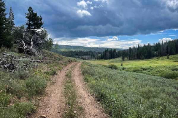
Pioneer
Pioneer is a two-mile-long ATV trail that descends west to east from the Elkhorn Trail to 550 Whisky Park Road, descending nearly 800 feet in elevation along the way. The trail is mostly fast and flowy, with smooth dirt, shallow ruts, and only occasional loose rock. Waterbars are present for erosion...
Learn more about Pioneer
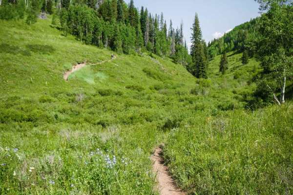
Independence Creek
Independence Creek is a fun 3.3-mile single track in the Hahn's Peak trail system north of Steamboat, Colorado. A lot of this trail is rocky and rooty, with small downhills (or climbs) in a shaded forest of pine and aspen trees. The rocks and roots create little shelf ledges that are not too difficu...
Learn more about Independence Creek
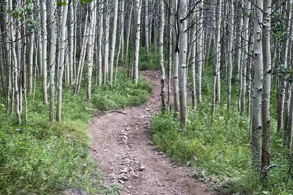
Elkhorn Trail South
Elkhorn Trail South is a moderately easy ATV trail that winds for several miles through Routt National Forest, offering a mix of flowy and rocky terrain. The eastern end begins in a meadow with a bridge crossing over a swampy grassy section, departing directly from a main camping area in Little Red ...
Learn more about Elkhorn Trail South
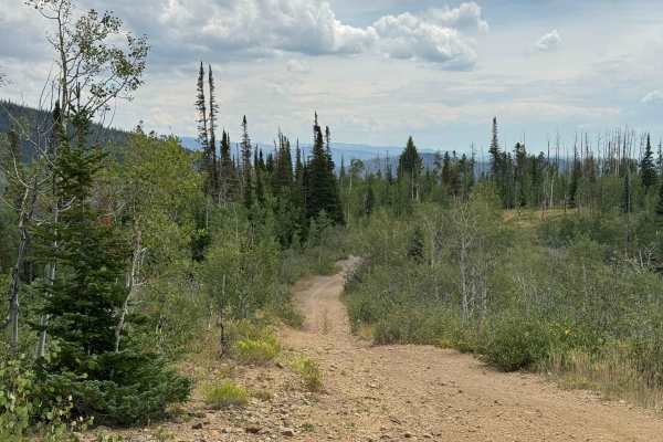
FS 411
This route offers a gradual climb through a beautiful mix of aspen and pine forests, with a few moderately steep sections and areas of loose rock along the way. Overall, it is a scenic and enjoyable trail that serves as an important transition route to several other trails that continue higher into ...
Learn more about FS 411

Little Mountain Road
Despite its short length, the trail delivers a remarkable amount of elevation gain in a surprisingly small distance. The route begins with several deep mud holes before transitioning into a steep climb toward the top of Little Mountain. The final ascent is the most challenging section, with an extre...
Learn more about Little Mountain Road
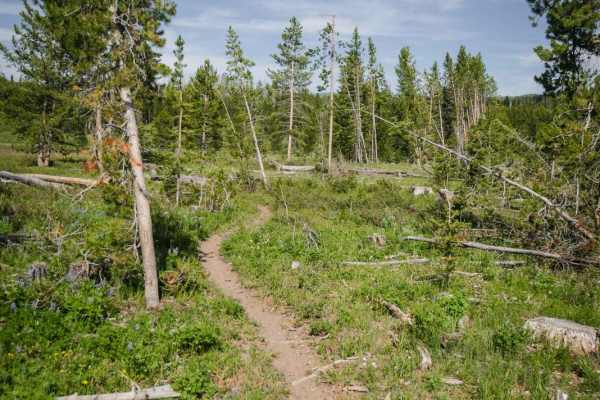
Kids Loop
The Kids Loop is a short and easy single track that starts and ends off of the Farwell Connector Trail, right near the Little Red Park camping area in the Hahn's Peak OHV area. The trail is perfect for kids learning to ride single-track. It's like a maze with lots of curves that double back a bunch ...
Learn more about Kids Loop
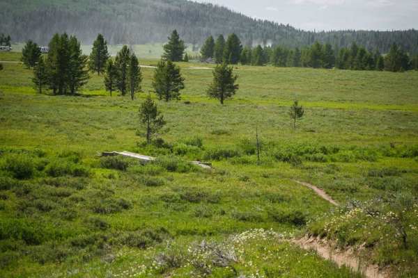
Farwell Connector
The Farwell Connector trail is a short and easy single track that starts right in the Little Red Park camping area in the Hahn's Peak OHV area. It meanders through sections of meadows and forest with easy curves with small roots in the trail. There are a couple of wooden bridges across marshy grass ...
Learn more about Farwell Connector

Upper Ways Gulch Road
This is a scenic, short transition trail that traverses the slopes of Anderson Mountain at approximately 8,000 feet, offering an easy and enjoyable drive through a beautiful high-country forest. While the route itself is generally straightforward, there is a significant amount of deadfall throughout...
Learn more about Upper Ways Gulch Road
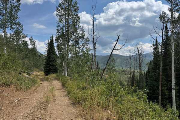
Blue Jay Mine Road
This scenic trail begins in the valley and gradually climbs through a beautiful mix of aspen and pine forests, alternating between cool, shaded sections and open shelf-road stretches with views of the surrounding landscape. The route provides a pleasant transition into the higher country, where seve...
Learn more about Blue Jay Mine Road
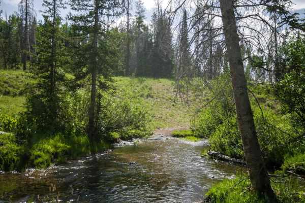
Farwell Mountain ATV Trail
The Farwell Mountain ATV trail is an easier ATV trail with lots of sticks and roots and gradual climbs and descents with tight curves. It goes through a pine tree forest through meadows and trees, with some small embedded rocks or loose rocks on the surface, but no big obstacles. There is a long but...
Learn more about Farwell Mountain ATV Trail
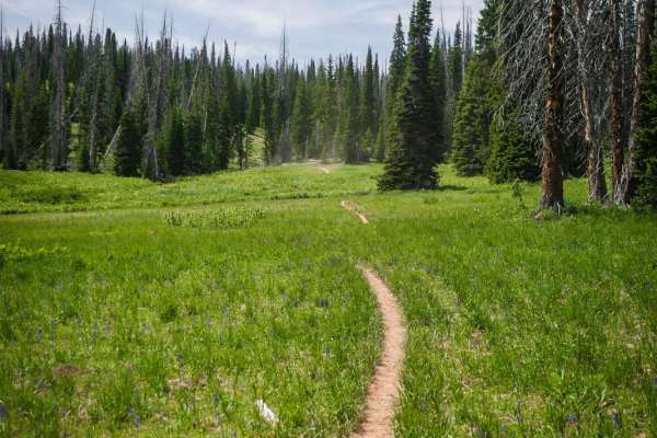
Farwell Mountain
This short single track in the Hahn's Peak Trail System cuts across Farwell Mountain, departing from the Farwell Mountain Road, and connecting back to the Little Red Park camping area via the Farwell Mountain ATV Trail. This is an easier trail in the trail system, with a bit of loose rock and narrow...
Learn more about Farwell Mountain
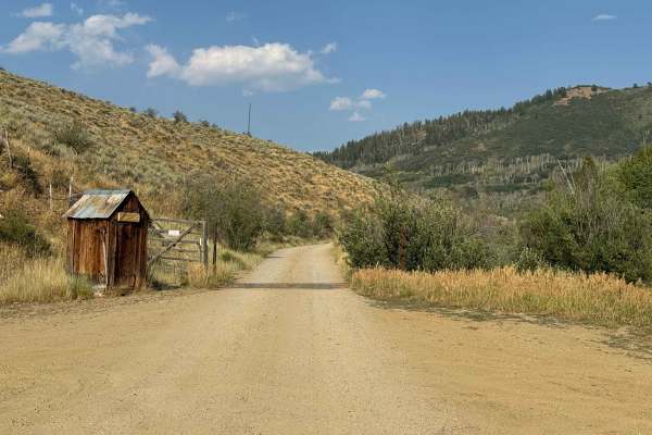
CR 60
This gravel road leaves the highway and crosses private property via a designated right-of-way before entering the Routt National Forest. The initial section is well maintained and relatively smooth, making it an easy route suitable for virtually any vehicle. Along the way, you’ll pass several inter...
Learn more about CR 60
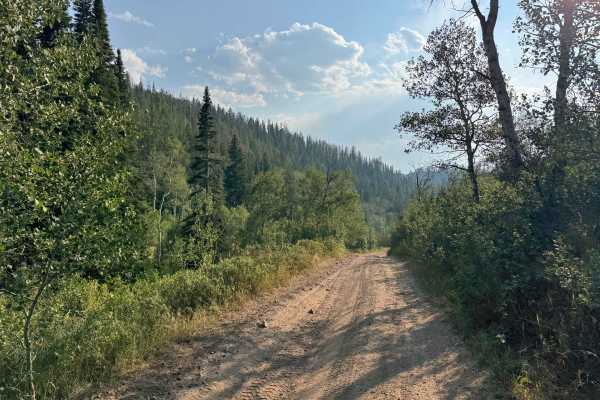
FS 440
After passing through the gate and exiting the private property, the route seamlessly transitions onto this National Forest road. The road is generally well cleared and relatively easy to travel, except for a few ruts and rocky sections. Carrying a saw is recommended in this area, as deadfall is com...
Learn more about FS 440
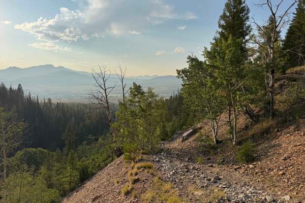
FS 403
This trail is a great surprise, as what initially appears to be an out-and-back route turns into a unique loop through the remains of the Greenville Mine. It is best traveled from east to west unless you are looking for a significant challenge, as the west-to-east direction requires climbing very st...
Learn more about FS 403
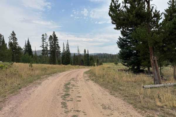
Morgan Creek Road - FS 442
This short backcountry trail offers an easy and scenic introduction to the surrounding forest, with several beautiful dispersed campsites located along the route. The trail is generally smooth and well suited to vehicles with reasonable ground clearance, although a few ruts and scattered rocks requi...
Learn more about Morgan Creek Road - FS 442
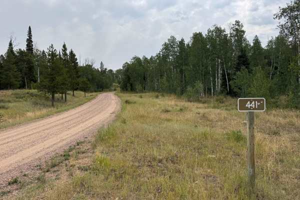
Wapiti Road - FS 441
This Forest Service trail is a well-maintained route that consists primarily of packed dirt with occasional sections of loose gravel. In dry conditions, it is an easy drive and should be accessible to most vehicles with moderate ground clearance without the need for 4WD. Near what initially appears ...
Learn more about Wapiti Road - FS 441
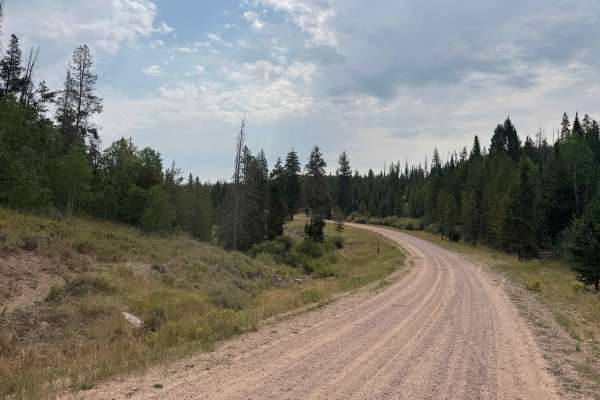
Reed Creek Road - FS 440
This route begins with a turn from paved Highway 64 and immediately provides access to non-motorized trailheads, with parking areas visible. The road itself is a well-maintained gravel route that should be accessible to virtually any vehicle, including both 2WD and 4WD vehicles, under normal dry con...
Learn more about Reed Creek Road - FS 440
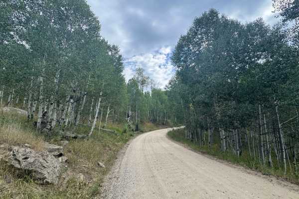
Seedhouse Road
This road is open only to street-legal vehicles and does not allow non-street-legal motorcycles, SxS, or other off-highway vehicles. Although most of the surrounding roads allow motorized travel and dispersed camping, the initial section of this route passes through a restricted camping area. Campin...
Learn more about Seedhouse Road
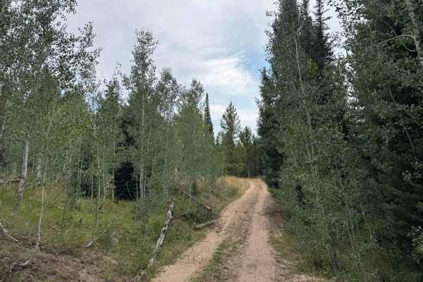
Mill Creek Road - FS 469
This very short out-and-back trail provides a pleasant and relatively easy drive into the surrounding forest, with one or two dispersed campsites along the route. In dry conditions, the trail is generally straightforward and may not require 4WD. The route sees light use, although visitors were using...
Learn more about Mill Creek Road - FS 469
Beginner ATV trails near Dixon, Wyoming
Explore ATV-friendly trails near you. These trails are accessible for vehicles up to 50 inches wide, perfect for ATVs and smaller off-road machines.
Nipple Peak ATV Trail
This is an easy 50-inch trail in the Hahn's Peak trail system north of Steamboat, Colorado. The trail has some loose sticks, small roots, and rocks as it goes through wide-open meadows and aspen trees. It's a two-track that is overgrown with tall grass in the middle, and mostly ridden by dirt bikers...
Learn more about Nipple Peak ATV Trail
Pioneer
Pioneer is a two-mile-long ATV trail that descends west to east from the Elkhorn Trail to 550 Whisky Park Road, descending nearly 800 feet in elevation along the way. The trail is mostly fast and flowy, with smooth dirt, shallow ruts, and only occasional loose rock. Waterbars are present for erosion...
Learn more about Pioneer
Elkhorn Trail South
Elkhorn Trail South is a moderately easy ATV trail that winds for several miles through Routt National Forest, offering a mix of flowy and rocky terrain. The eastern end begins in a meadow with a bridge crossing over a swampy grassy section, departing directly from a main camping area in Little Red ...
Learn more about Elkhorn Trail South
FS 411
This route offers a gradual climb through a beautiful mix of aspen and pine forests, with a few moderately steep sections and areas of loose rock along the way. Overall, it is a scenic and enjoyable trail that serves as an important transition route to several other trails that continue higher into ...
Learn more about FS 411
Beginner UTV/side-by-side trails near Dixon, Wyoming
Find UTV and side-by-side trails near you. These trails accommodate vehicles up to 60 inches wide, ideal for UTVs, side-by-sides, and wider off-road rigs.
FS 411
This route offers a gradual climb through a beautiful mix of aspen and pine forests, with a few moderately steep sections and areas of loose rock along the way. Overall, it is a scenic and enjoyable trail that serves as an important transition route to several other trails that continue higher into ...
Learn more about FS 411
Little Mountain Road
Despite its short length, the trail delivers a remarkable amount of elevation gain in a surprisingly small distance. The route begins with several deep mud holes before transitioning into a steep climb toward the top of Little Mountain. The final ascent is the most challenging section, with an extre...
Learn more about Little Mountain Road
Upper Ways Gulch Road
This is a scenic, short transition trail that traverses the slopes of Anderson Mountain at approximately 8,000 feet, offering an easy and enjoyable drive through a beautiful high-country forest. While the route itself is generally straightforward, there is a significant amount of deadfall throughout...
Learn more about Upper Ways Gulch Road
Blue Jay Mine Road
This scenic trail begins in the valley and gradually climbs through a beautiful mix of aspen and pine forests, alternating between cool, shaded sections and open shelf-road stretches with views of the surrounding landscape. The route provides a pleasant transition into the higher country, where seve...
Learn more about Blue Jay Mine Road
The onX Offroad Difference
onX Offroad combines trail photos, descriptions, difficulty ratings, width restrictions, seasonality, and more in a user-friendly interface. Available on all devices, with offline access and full compatibility with CarPlay and Android Auto. Discover what you're missing today!
Open Trail Map