Trail Overview
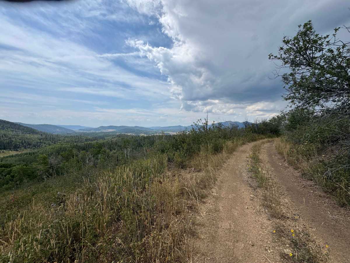
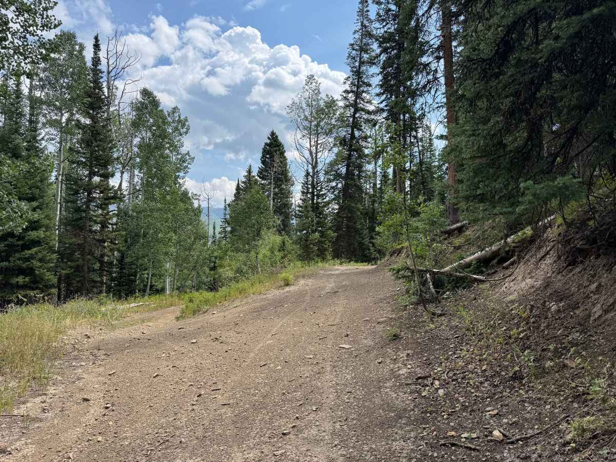
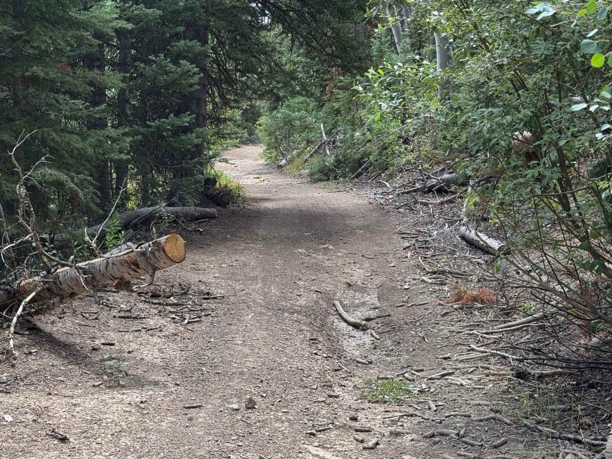
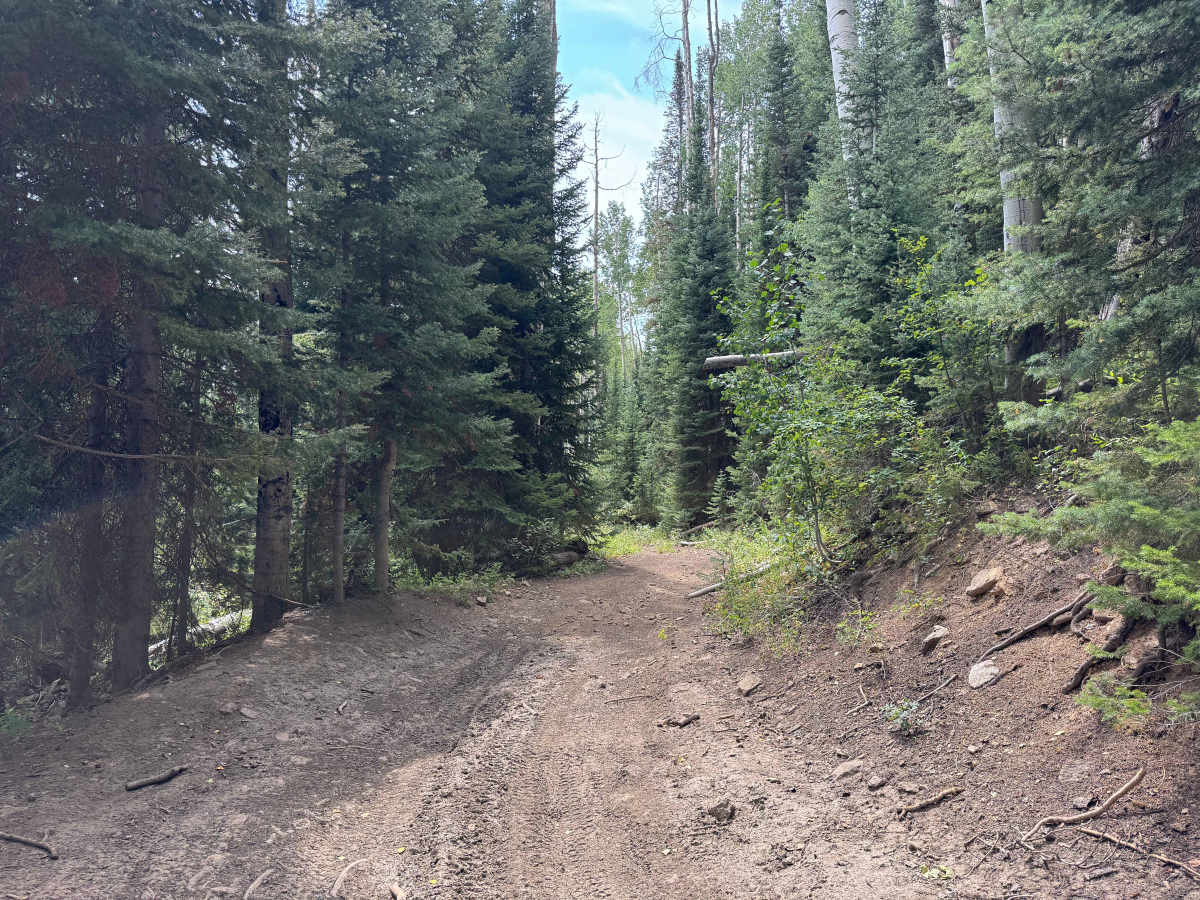
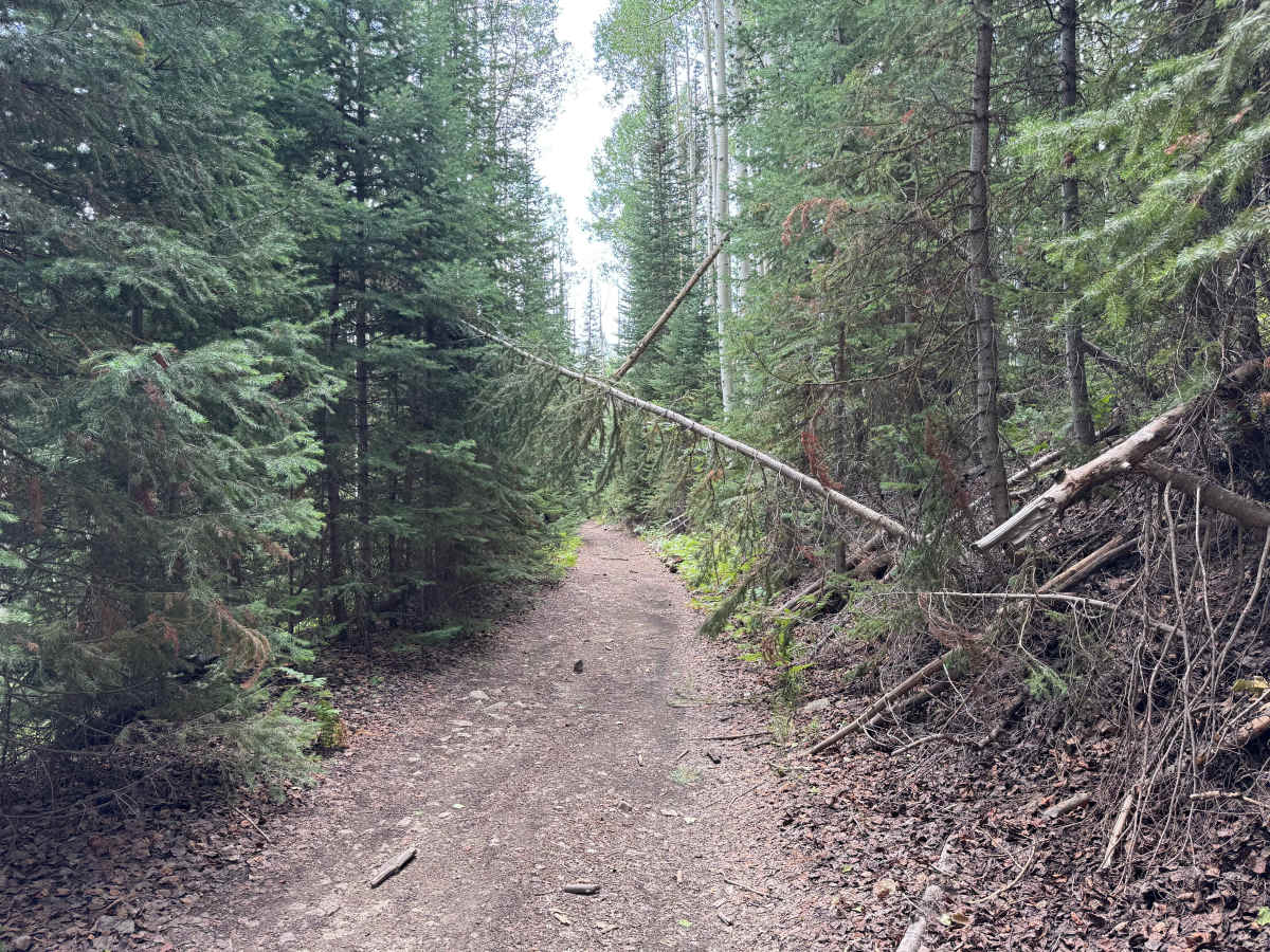
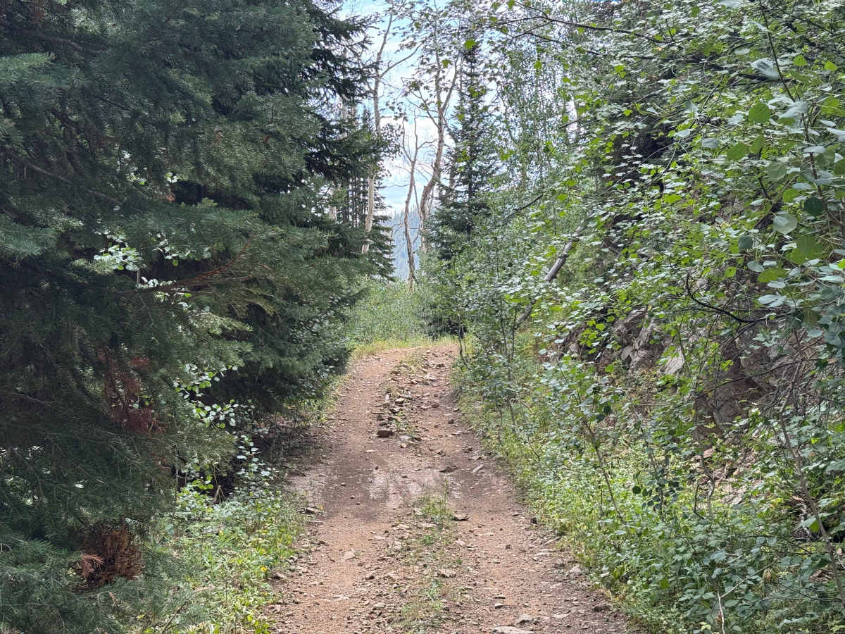
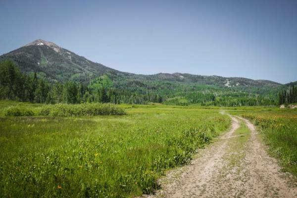
This is a scenic, short transition trail that traverses the slopes of Anderson Mountain at approximately 8,000 feet, offering an easy and enjoyable drive through a beautiful high-country forest. While the route itself is generally straightforward, there is a significant amount of deadfall throughout the area, so carrying a saw is recommended in case fallen trees block the trail. Wildlife is another highlight, and it is not unusual to encounter deer along the route or see signs of other animals in the surrounding forest. There is one modest climb with some loose rock, but under dry conditions, it should present little difficulty for most capable vehicles. At the end of the trail, you have a choice of continuing farther into the high country on connecting routes or descending toward roads that lead back to Hahns Peak Village.
Difficulty
This is an easy transition trail under dry conditions and should not present much difficulty for most capable vehicles. Four-wheel drive may not be necessary, as the route features only one modest ascent with a moderate grade and a few sections of loose rock. There is very little elevation gain or loss along the route, making it a relatively smooth and straightforward traverse between the surrounding trails and roads. Overall, this is a pleasant connector that allows you to move through the area without encountering any significant obstacles or challenging terrain.
History
The Hahns Peak area has a rich history dating back to the 1860s, when prospectors discovered gold and established what became one of the earliest permanent settlements in Routt County. Hahns Peak Village grew into a busy mining community and served as the county seat from 1877 to 1912. Many of the roads and trails surrounding Hahns Peak, Columbine, and the Elk River Valley originated as routes used by miners, ranchers, loggers, and early settlers to reach mines, camps, and remote homesteads. Today, those historic routes have evolved into a network of Forest Service roads, hiking and motorized trails, campgrounds, and recreational areas. Historic buildings, mining relics, and the restored Hahns Peak lookout provide reminders of the area’s mining and ranching past, while places such as Steamboat Lake and the surrounding Routt National Forest have made the region a popular destination for outdoor recreation.


 Offroad