Trail Overview
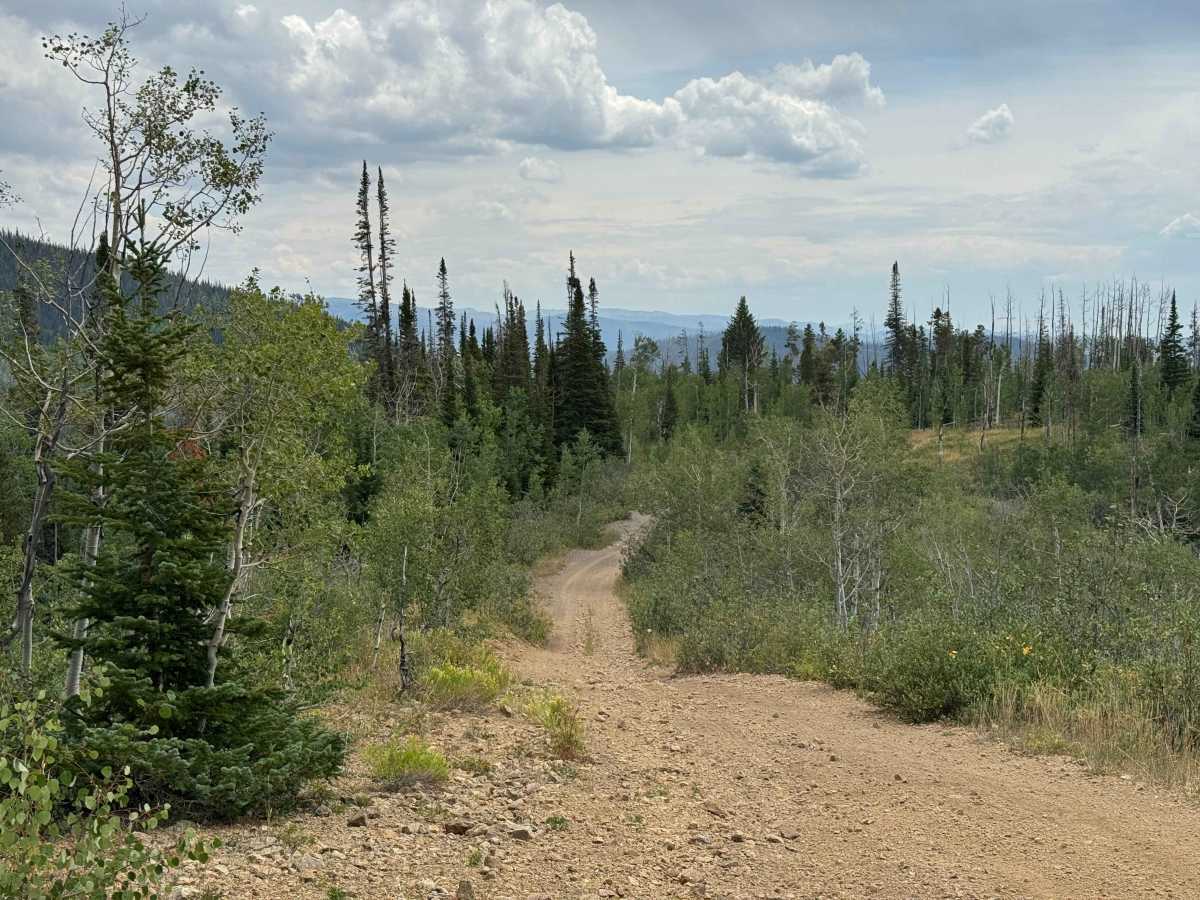
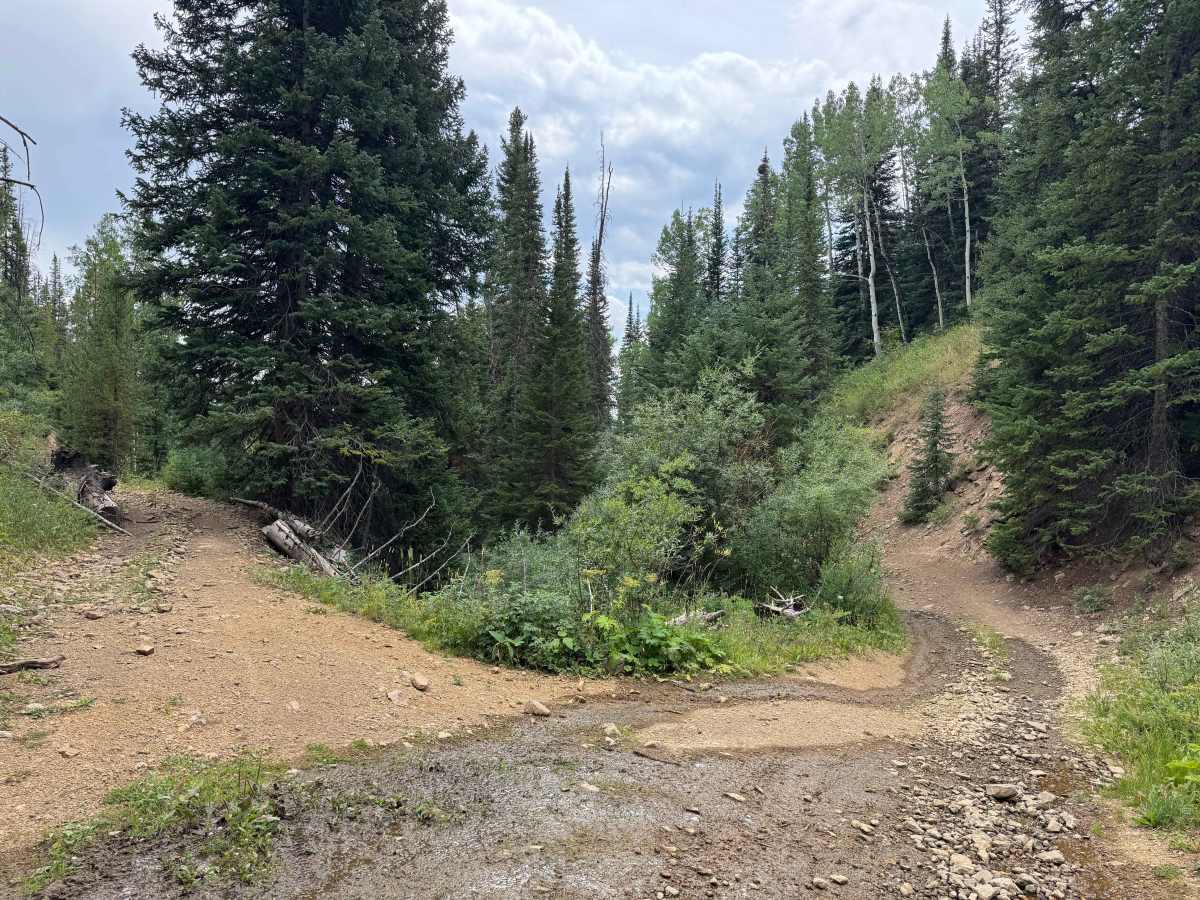
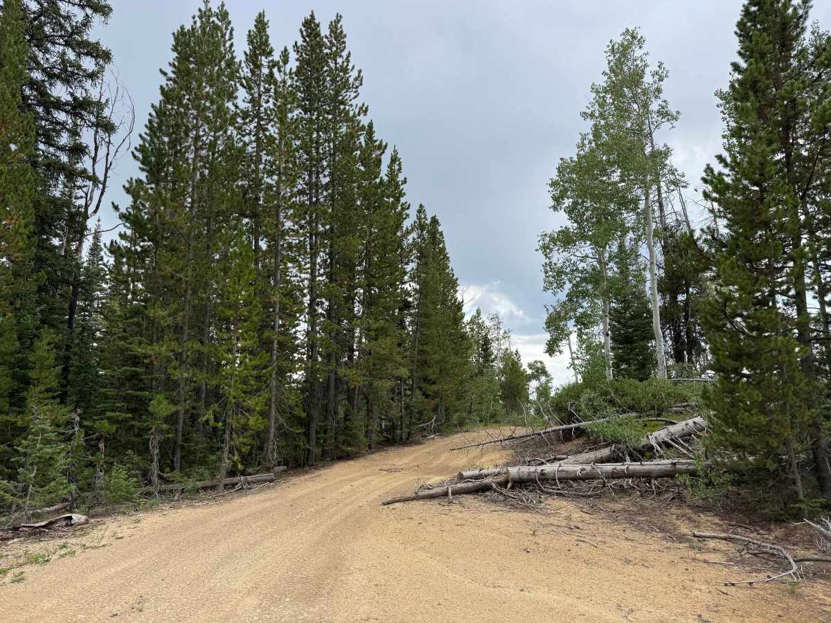
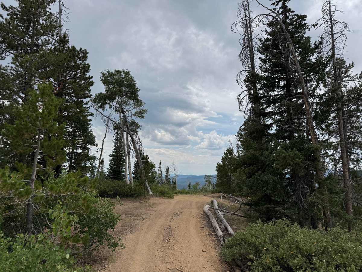
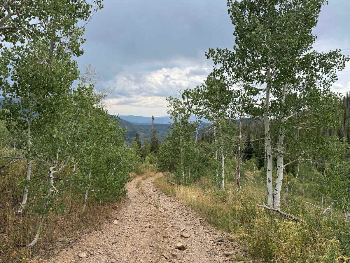
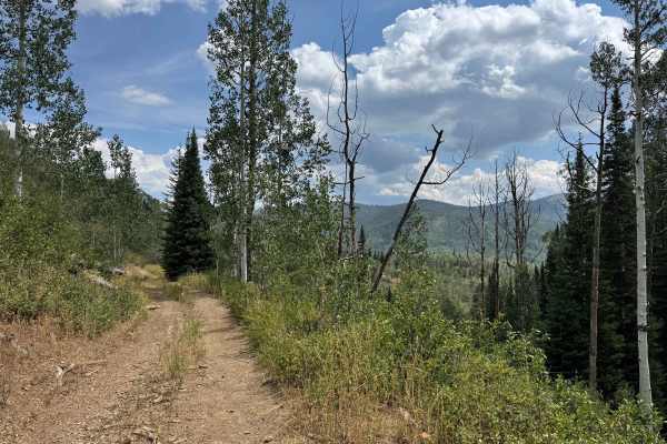
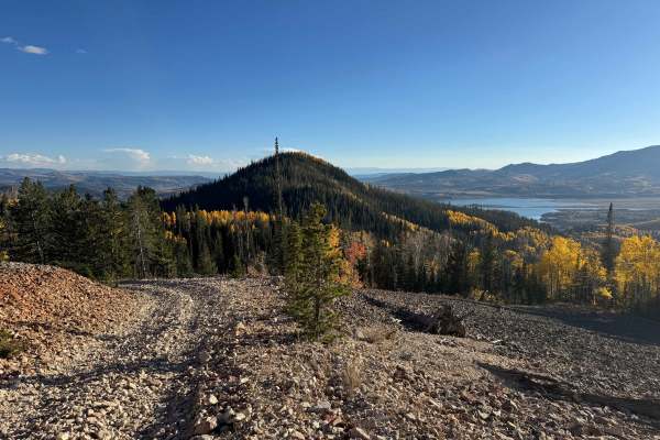
This route offers a gradual climb through a beautiful mix of aspen and pine forests, with a few moderately steep sections and areas of loose rock along the way. Overall, it is a scenic and enjoyable trail that serves as an important transition route to several other trails that continue higher into the surrounding mountains, providing access to increasingly elevated terrain and impressive views of the area. Drivers should be prepared for several deep ruts where careful tire placement is necessary, along with scattered rocks that require some attention. The surrounding forest also contains a significant amount of deadfall, so carrying a saw is a good idea in case fallen trees obstruct the route. Wildlife is abundant, and deer are particularly common during the early morning and evening hours, with signs of other wildlife frequently visible along the trail. As you continue, connecting routes provide opportunities to climb farther into the mountains and explore the surrounding backcountry.
Difficulty
This route is not an extremely difficult trail under dry conditions and is generally manageable for experienced drivers. However, if the trail is wet, some of the climbs can become significantly more challenging and may require extra caution. There are several ruts along the route, often positioned on one side or the other of the trail, which can force you to drive off-camber for 20 to 30 yards at a time while navigating around them. Four-wheel drive and a high-clearance vehicle are important for this trail, as well as for all the routes in this area, due to the uneven terrain and changing conditions.
History
The Hahns Peak area has a rich history dating back to the 1860s, when prospectors discovered gold and established what became one of the earliest permanent settlements in Routt County. Hahns Peak Village grew into a busy mining community and served as the county seat from 1877 to 1912. Many of the roads and trails surrounding Hahns Peak, Columbine, and the Elk River Valley originated as routes used by miners, ranchers, loggers, and early settlers to reach mines, camps, and remote homesteads. Today, those historic routes have evolved into a network of Forest Service roads, hiking and motorized trails, campgrounds, and recreational areas. Historic buildings, mining relics, and the restored Hahns Peak lookout provide reminders of the area’s mining and ranching past, while places such as Steamboat Lake and the surrounding Routt National Forest have made the region a popular destination for outdoor recreation.