Trail Overview
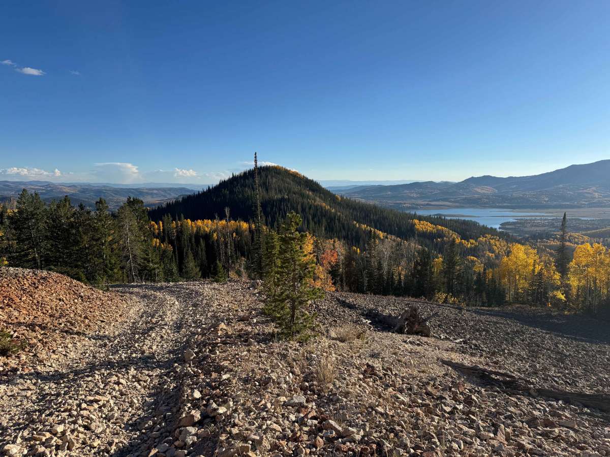
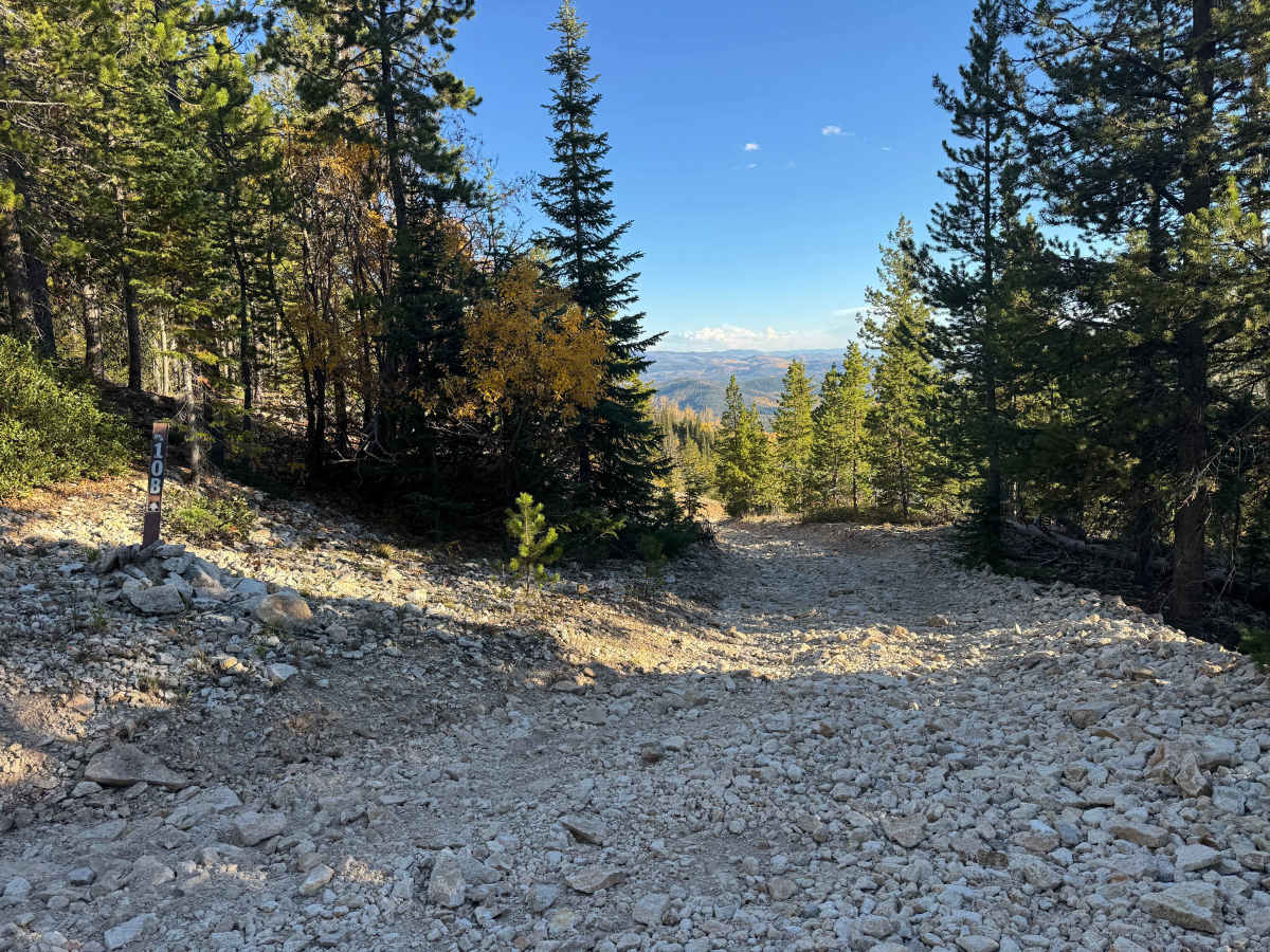
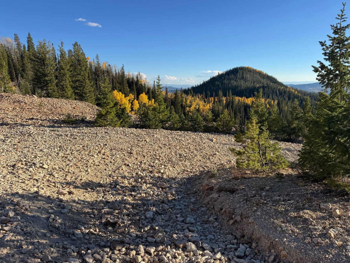
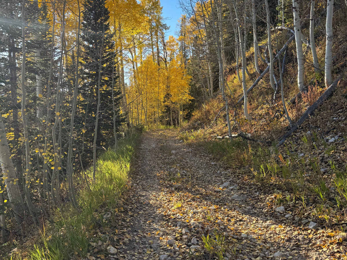
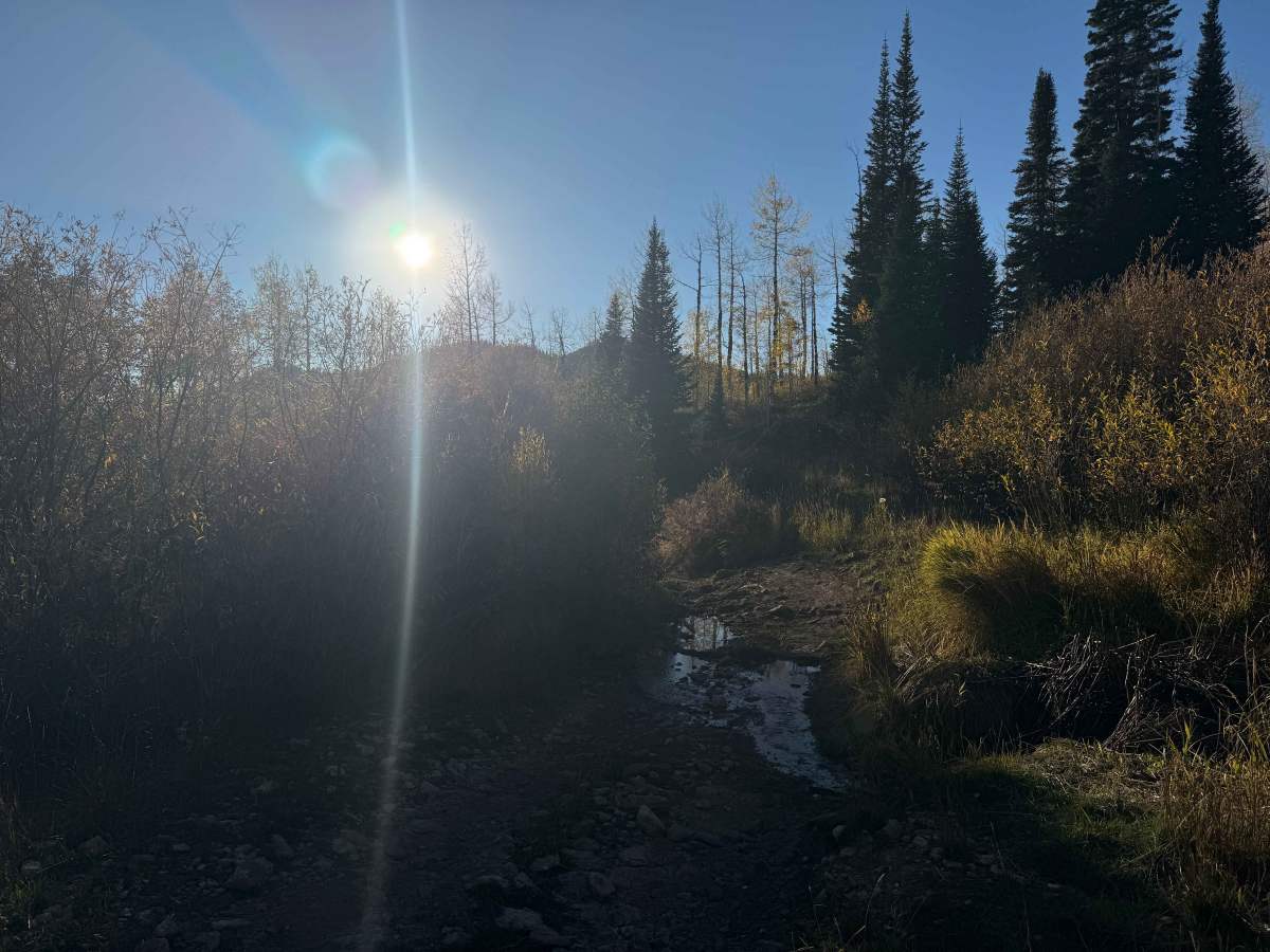
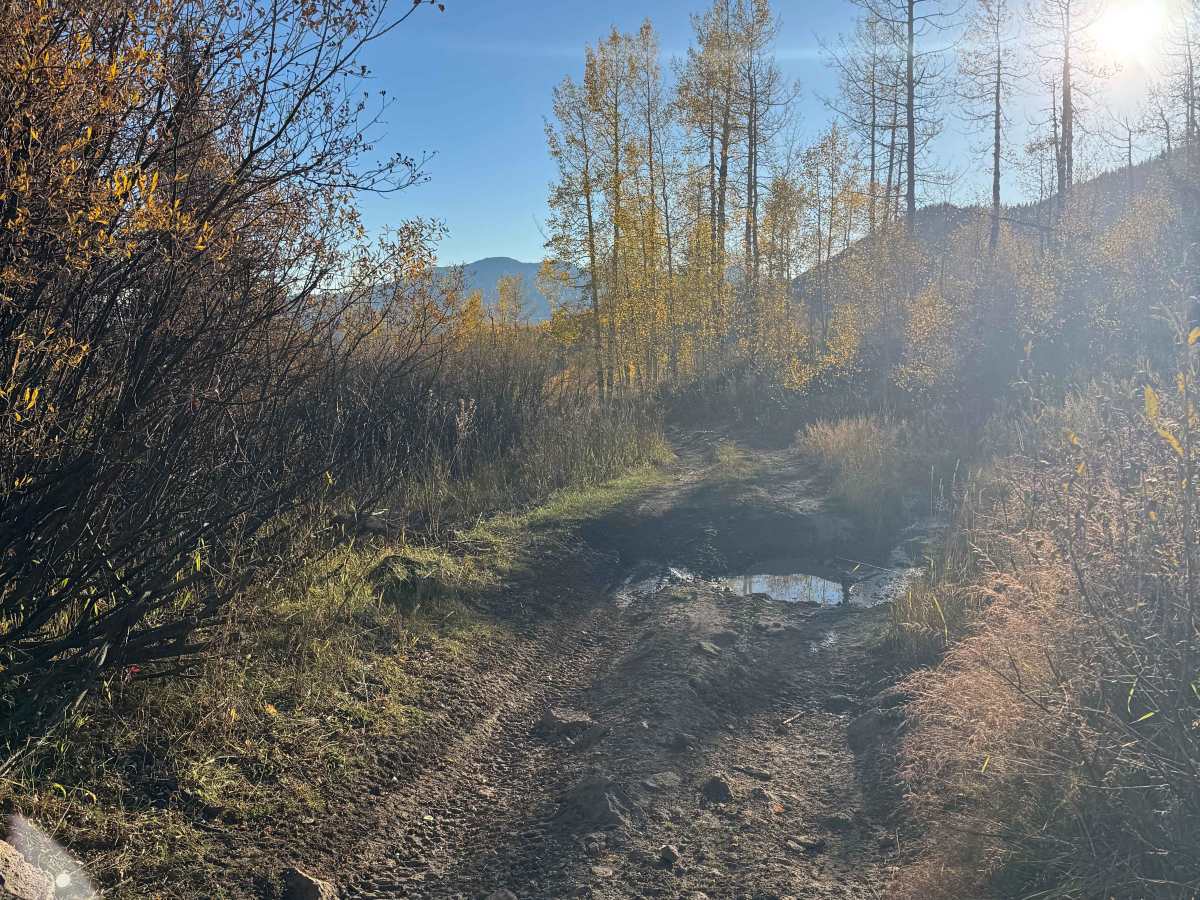
Although this is a relatively short trail, it offers a challenging, enjoyable, and unique off-road experience that packs a lot of technical terrain into a small distance. The upper half of the route features a very steep and rocky section that can be considered a true rock garden, making the climb from the bottom significantly more difficult than traveling in the opposite direction. Some vehicles may struggle with this section even in 4WD, particularly if the rocks are loose or conditions are less than ideal. Airing down your tires is highly recommended and can make a noticeable difference in traction, ride quality, and vehicle control. Once you pass the rocky section, the terrain gradually becomes less demanding as the larger rocks begin to disappear. The trail transitions from a mixture of dirt and rocks to sections with embedded rocks, ruts, and several mud holes before becoming smoother toward the bottom. The route eventually levels out and connects with Deep Creek Road, providing a scenic finish to this short but surprisingly technical trail.
Difficulty
The most challenging section of this route is the upper half, which consists of a deep rock garden filled primarily with golf-ball- to baseball-sized rocks. As noted in the trail description, traveling downhill through this section is considerably easier, while climbing it from the bottom can be substantially more demanding. If you plan to travel uphill, airing down your tires is strongly recommended to improve traction and help the vehicle conform to the uneven terrain. 4WD low range will also be necessary for most vehicles attempting the climb, particularly through the steepest and rockiest portions. Once you get beyond this upper section, the remainder of the route is relatively straightforward and should present few significant challenges.
History
The history of trails in this area goes back well before modern Forest Service roads. Early transportation routes often followed Native American and wildlife corridors, natural passes, and the easiest terrain through the mountains. As mining, ranching, and settlement expanded during the late 1800s and early 1900s, these paths developed into wagon roads, freight routes, and livestock trails. The Lamb Trail near Steamboat was used to move sheep toward market, while the Wyoming Trail served ranching and sheep-driving operations between Wyoming and the Yampa Valley. The arrival of the railroad in 1909–1912 greatly expanded access and helped drive the development of mining, ranching, and tourism. The Routt National Forest itself was established as the Park Range Forest Reserve in 1905 and renamed the Routt National Forest in 1908. Many of today’s roads and trails are essentially modern versions of these historic transportation corridors.


 Offroad