Trail Overview
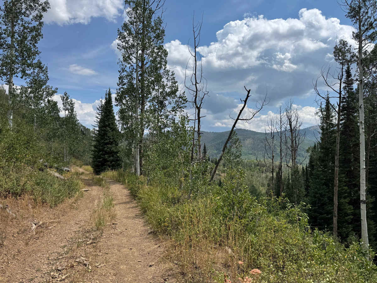
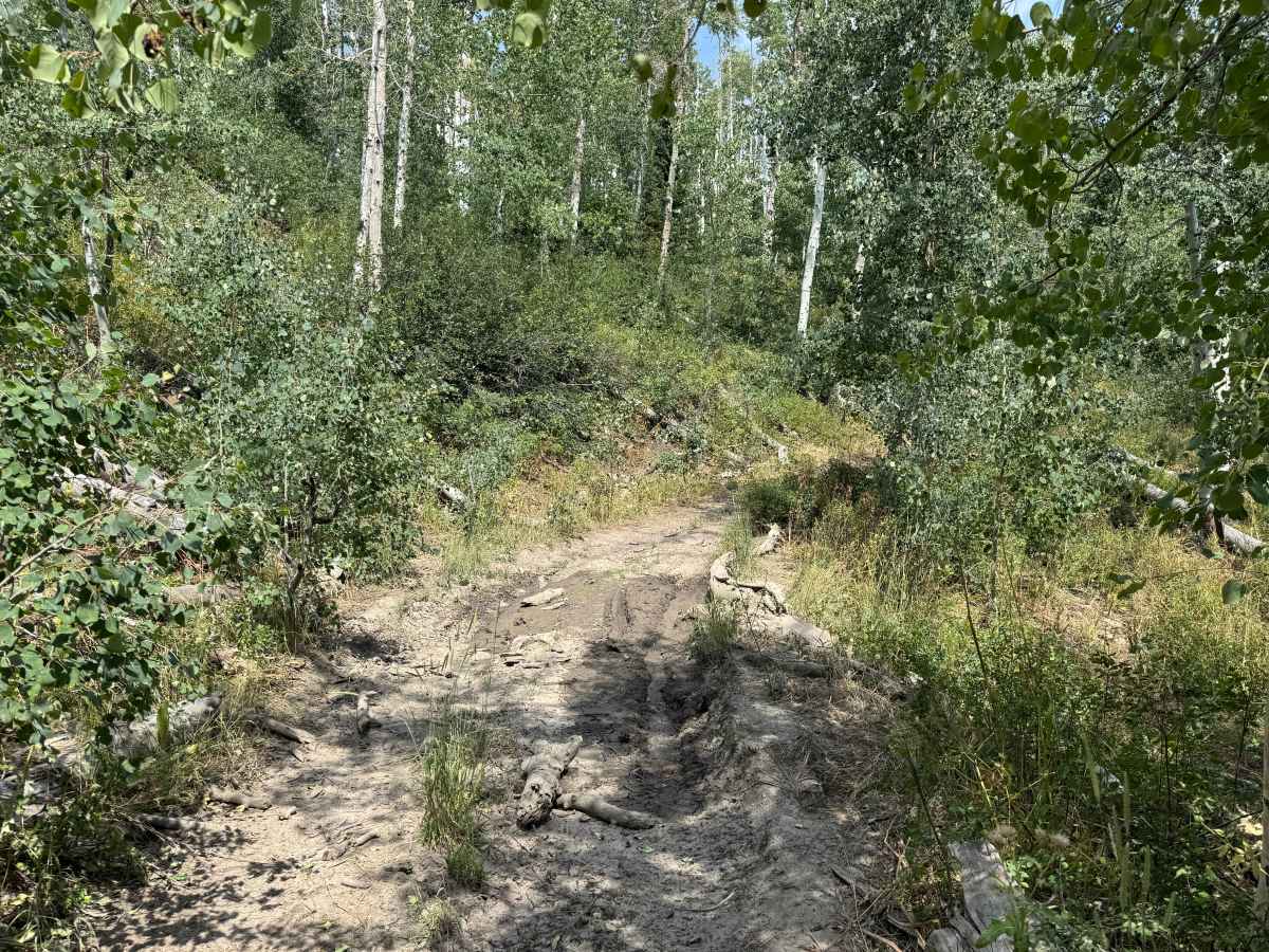
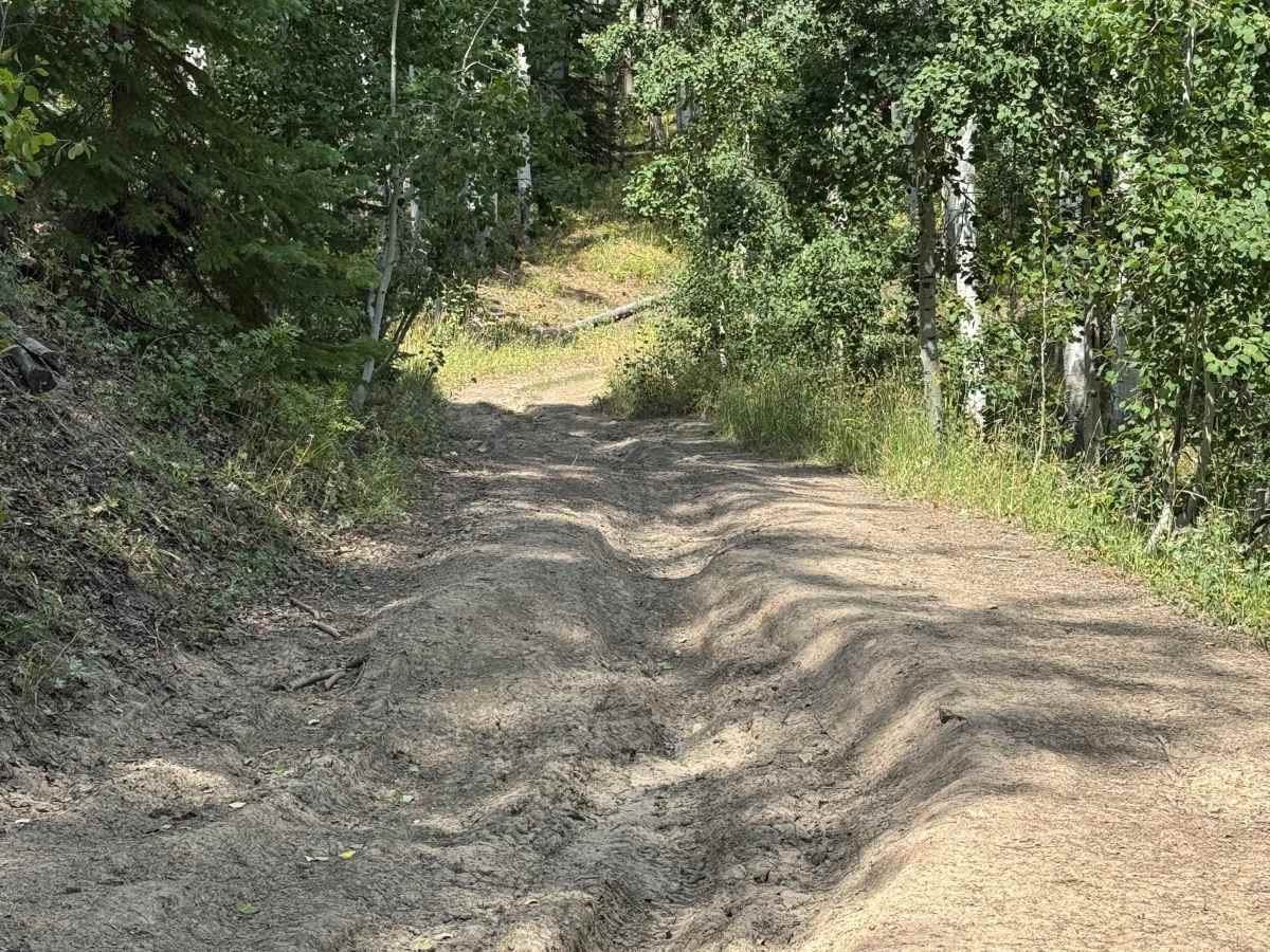
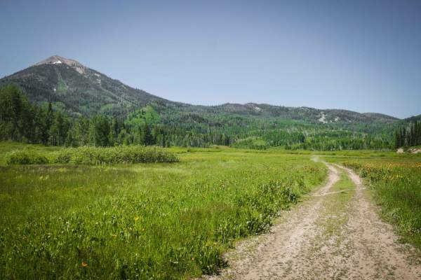
This scenic trail begins in the valley and gradually climbs through a beautiful mix of aspen and pine forests, alternating between cool, shaded sections and open shelf-road stretches with views of the surrounding landscape. The route provides a pleasant transition into the higher country, where several connecting trails offer opportunities to continue climbing toward the base of Hahns Peak and explore deeper into the surrounding mountains. Wildlife is frequently seen throughout this area, particularly during the early morning and evening hours, and there are often signs of animals along the route. Drivers should be prepared for a few mud holes and rutted sections, especially after wet weather. Deadfall is also common throughout this part of the forest, so carrying a saw is recommended. At the end of the trail, you can turn left to continue toward Hahns Peak or head right to descend back toward the valley.
Difficulty
This is an easy trail that should not present significant challenges under dry conditions. There are a few mud holes and rutted sections along the route where careful wheel placement may be necessary, particularly after wet weather. In dry conditions, four-wheel drive may not be necessary for a capable vehicle, making this a straightforward and enjoyable route for exploring the surrounding area.
History
The Blue Jay Mine Road near Hahns Peak leads into an old gold-mining area within the historic Hahns Peak Mining District. The Blue Jay Mine is documented as a past-producing underground gold mine at roughly 8,800–9,300 feet, with records indicating that the workings were relatively small and that the mine’s adit has since collapsed. The surrounding district was one of the earliest mining areas in the region, and numerous mines, prospects, and placer workings were scattered across the mountains. Today, Blue Jay Mine Road provides access through this historic landscape, where the old mining activity is still reflected in the roads, terrain, and remnants of the district that helped shape the early history of the Hahns Peak area.





 Offroad