Trail Overview
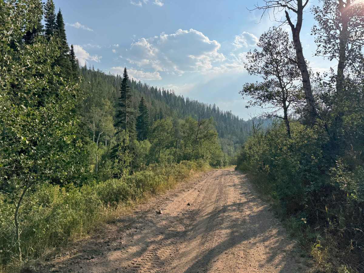
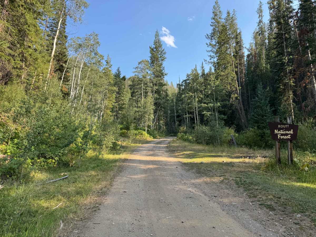
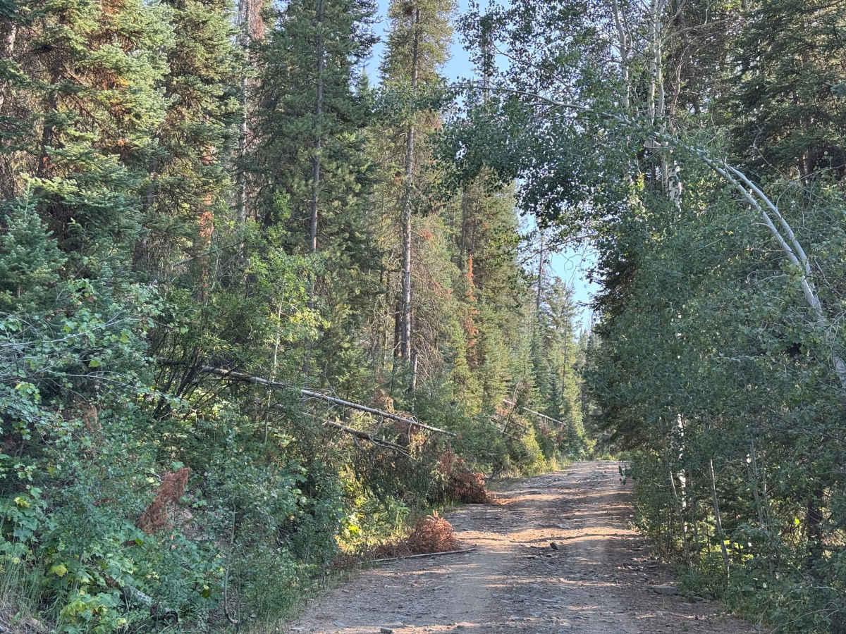
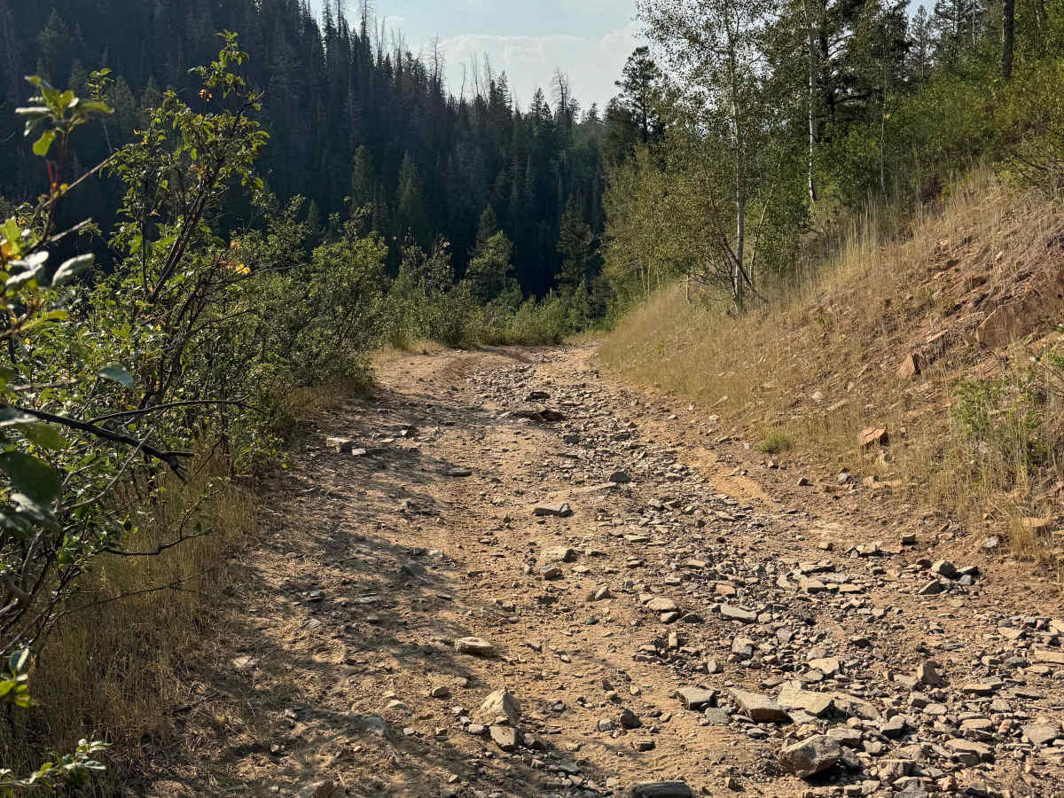
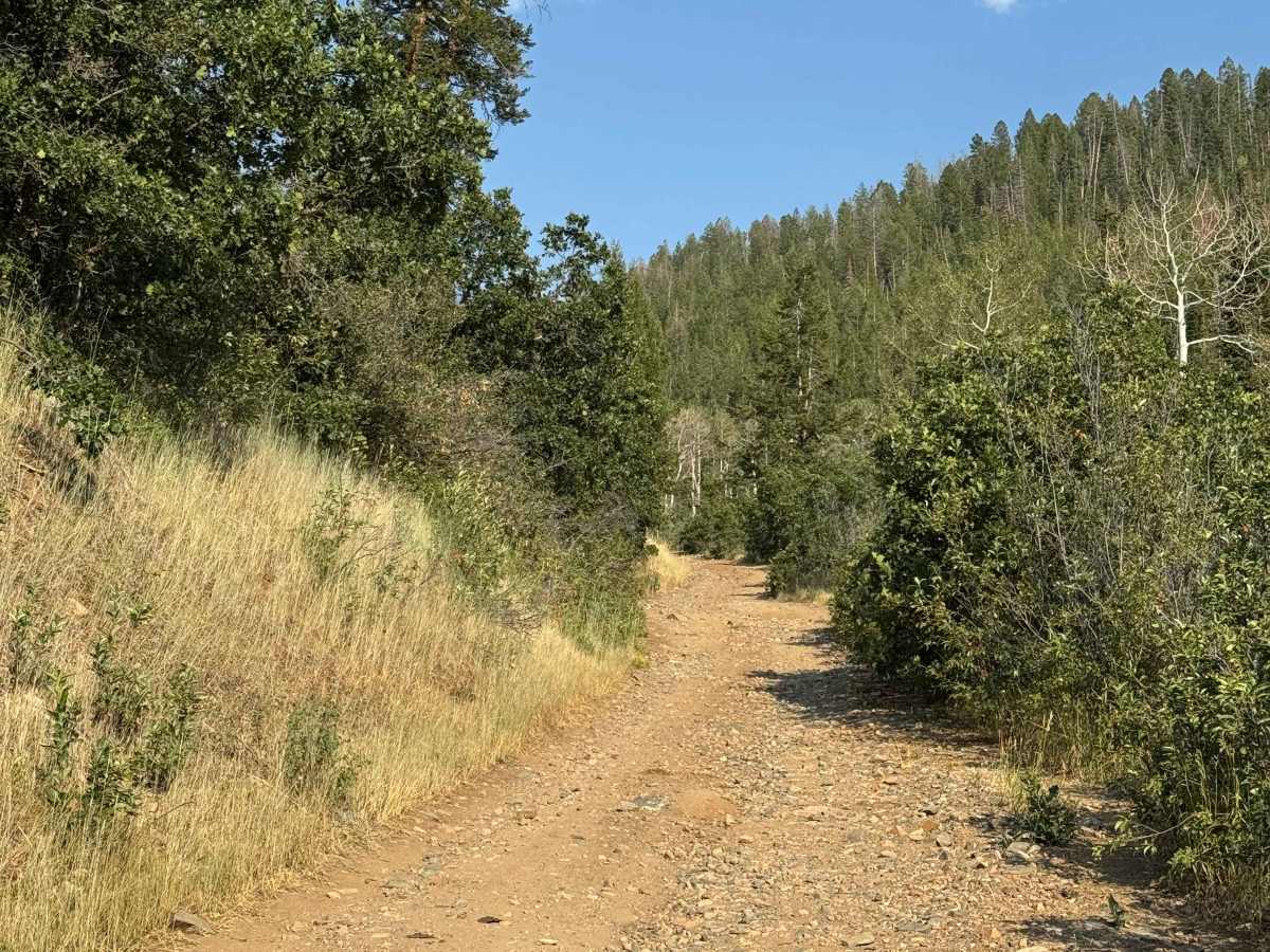
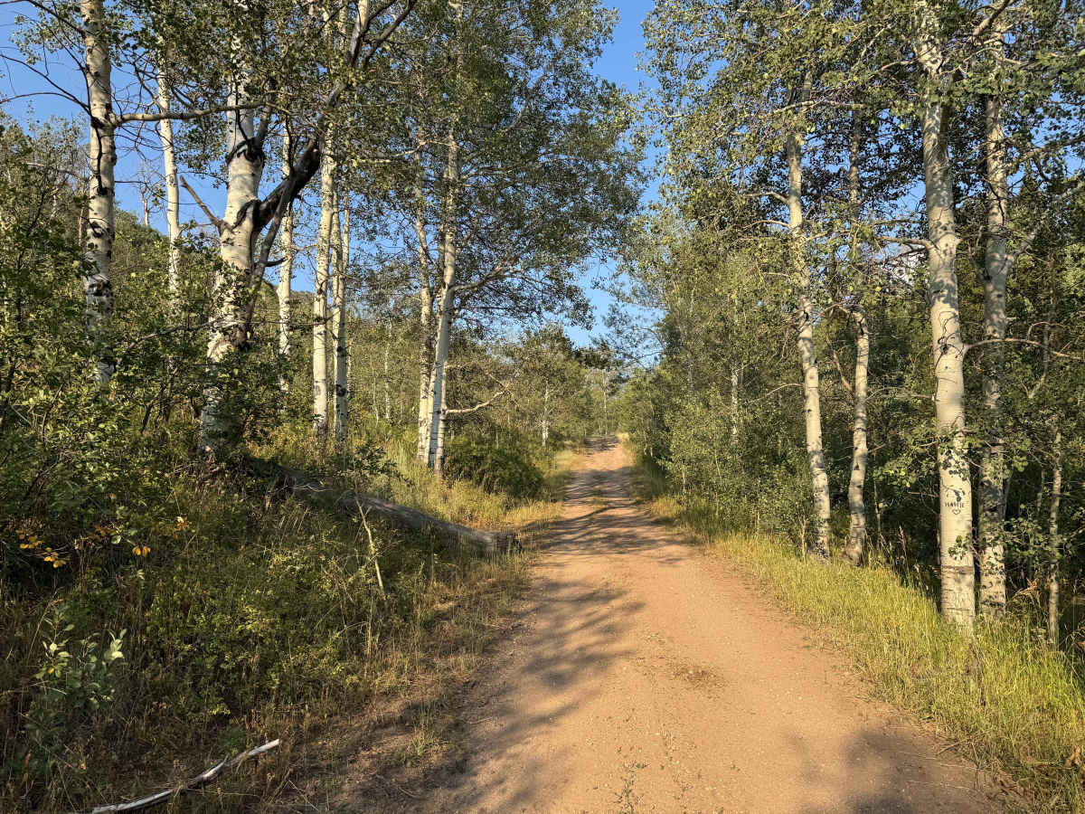
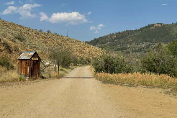
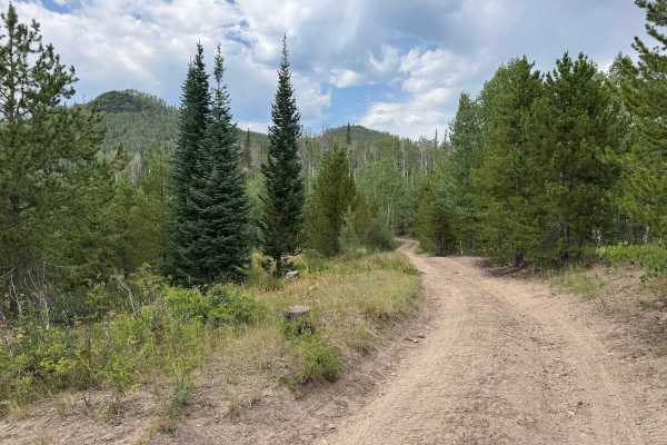
After passing through the gate and exiting the private property, the route seamlessly transitions onto this National Forest road. The road is generally well cleared and relatively easy to travel, except for a few ruts and rocky sections. Carrying a saw is recommended in this area, as deadfall is common and may partially obstruct the route. As you approach the Greenville Mine, the historic tailings are clearly visible on the left side of the road, marking the end of FS 440 and the beginning of another Forest Service route.
History
The area around the Greenville Mine has a rich mining history dating back to the late 1800s, when prospectors moved into the mountains around Clark, Hahns Peak, and the surrounding Park Range in search of gold, silver, copper, lead, and zinc. The Greenville Mine was one of several significant workings in the area, with tunnels and shafts driven into the mountainside. Today, the old mine workings, tailings, and historic roads remain as reminders of the region’s mining era, while the surrounding mountains have largely returned to their natural state.