Trail Overview
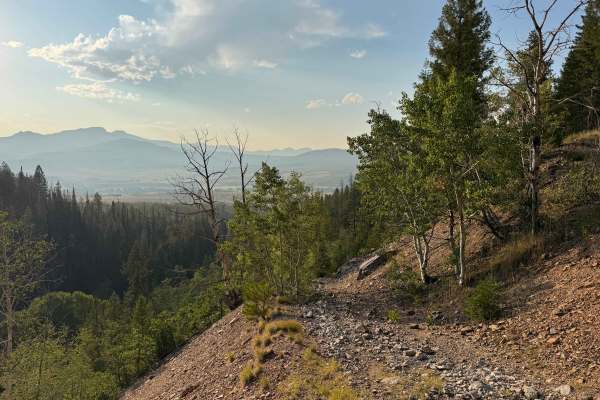
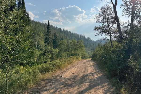
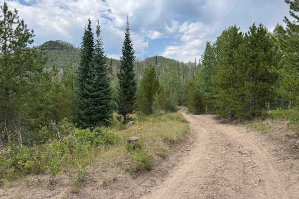
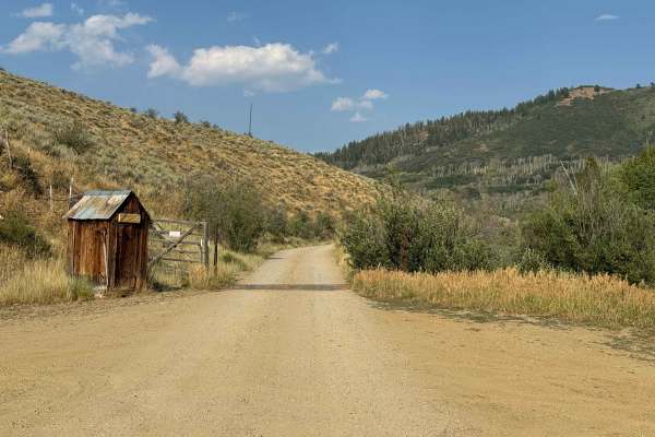
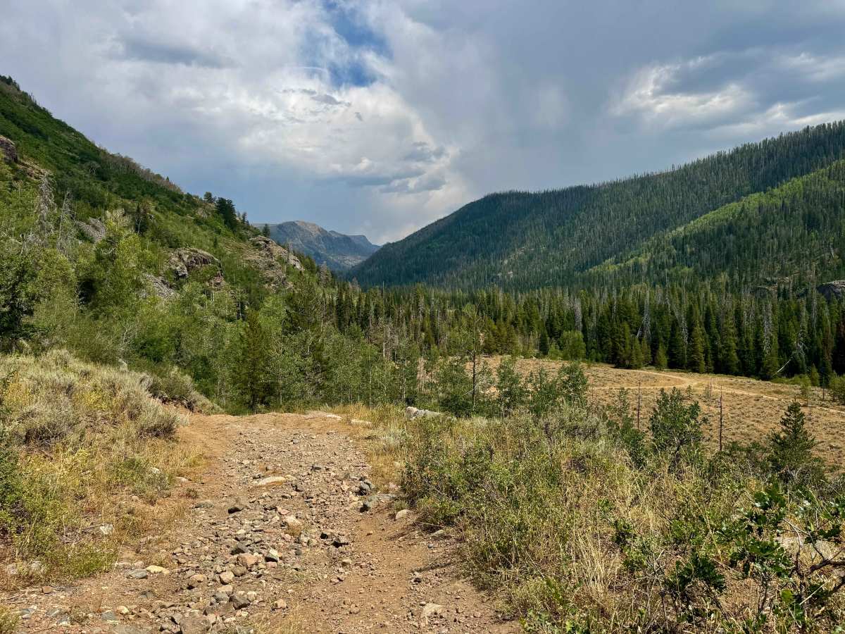
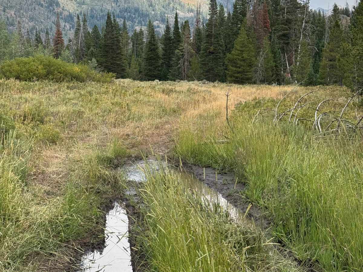
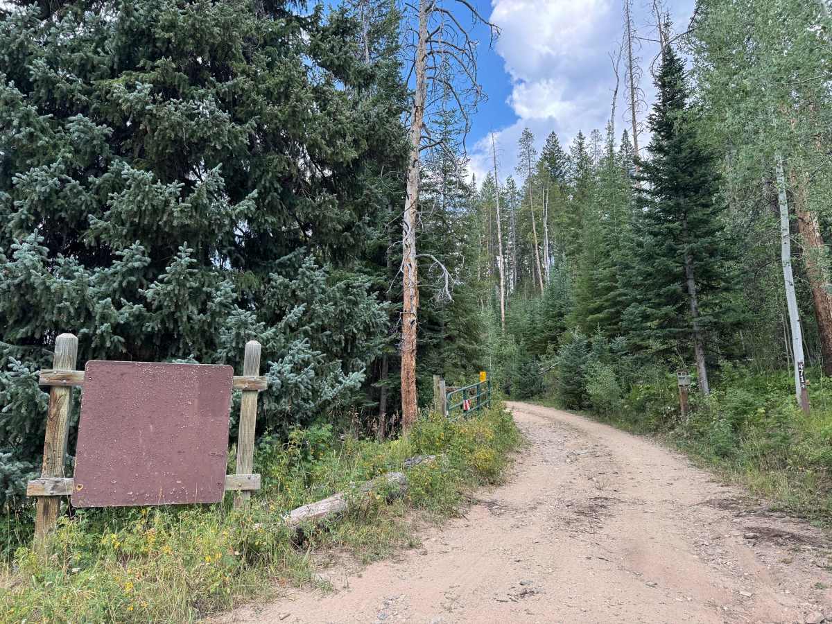
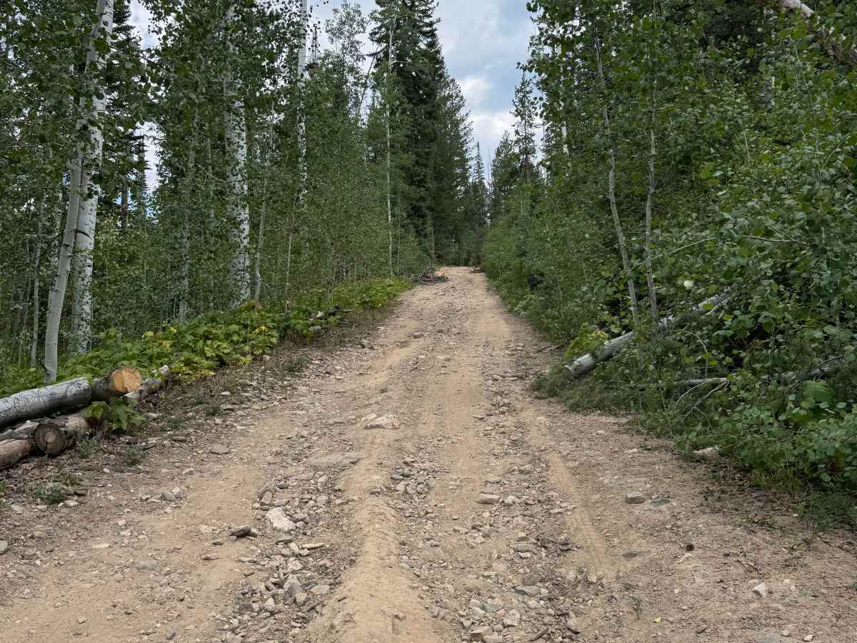
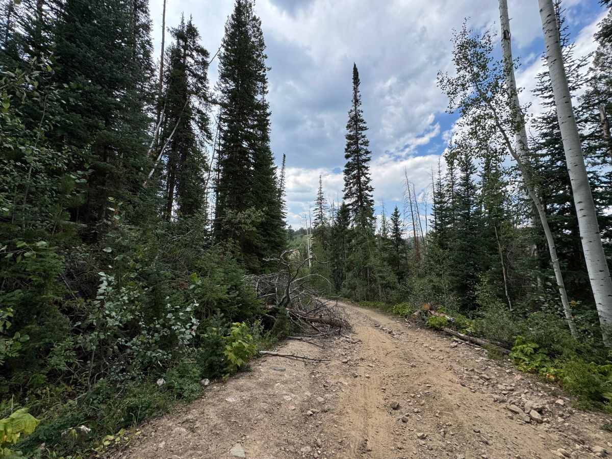
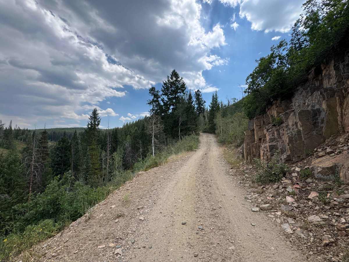
From the point where this section of FS 471 begins, you’ll immediately notice a significant increase in difficulty compared with the trail behind you. The road becomes steeper and narrower, with larger rocks, deeper ruts, and occasional deadfall partially blocking the route. Approximately two miles in, you’ll reach the last area where full-size 4WD trucks and trailers can typically park before continuing farther into the backcountry. Beyond the halfway point, the trail descends through a very steep, narrow rock chute toward the valley floor below. If you have any doubt about your ability to climb back out, it is strongly recommended that you walk the section before proceeding. This portion is best suited for SxS vehicles, ATVs, smaller 4WD vehicles, or a short-wheelbase Jeep with excellent ground clearance and an experienced driver. The descent is manageable when taken slowly, but the climb back out can be extremely difficult, even for a 2WD dirt bike. Once you reach the valley floor, the route becomes considerably more enjoyable, flattening out as it winds through open meadows, aspen groves, and dense stands of pine, with numerous creeks converging throughout the area. The farther you travel, the more challenging the route becomes for larger vehicles, and some sections may be impassable without a saw to clear fallen trees and other deadfall. Along the way, you’ll find several beautiful dispersed camping opportunities, including locations where short access roads lead approximately 100 yards from the main trail to secluded campsites beside the creek. Near the end of the route, a muddy creek crossing provides one final obstacle before the road terminates at an area where travel beyond that point is restricted to hikers and horseback riders.
Difficulty
Keep in mind that the vehicle information provided by this app indicates which vehicles are legally permitted to access a route, not necessarily which vehicles are physically capable of completing it. Approximately two to three miles into this route, you will typically reach the point where larger 4WD vehicles with trailers park and unload smaller motorized vehicles for the remainder of the journey. There are several challenging sections along the climb that require careful wheel placement around larger rocks. The most difficult portion comes when descending into the valley through a narrow chute filled with baseball-sized and larger rocks. Maintaining a slow, controlled speed on the descent can be difficult, and climbing back out can be considerably more challenging. There is usually a narrow dirt line along one side or the other that can help with tire placement, but this section should only be attempted by a competent driver with a recovery plan in case assistance is needed. Once you reach the valley floor, the route becomes easier, with only a couple of muddy holes and some areas where clearing trees may be necessary for anything larger than a quad if you want to reach the end of the trail.
History
Bowes Mining Road is part of the historic network of roads that once provided access to the mining country surrounding Hahns Peak and the Mount Zirkel region of northern Colorado. During the late 19th and early 20th centuries, prospectors and miners traveled these remote mountain valleys in search of valuable mineral deposits, creating a network of rough roads and trails that connected mines, camps, and settlements. Today, much of that mining activity has disappeared back into the forest, but roads such as Bowes Mining Road remain as reminders of the region’s mining heritage. The route now provides access to the surrounding forest and the Mount Zirkel area, where the remnants of Colorado’s early mining era can still be found alongside the rugged mountain landscape.