Trail Overview
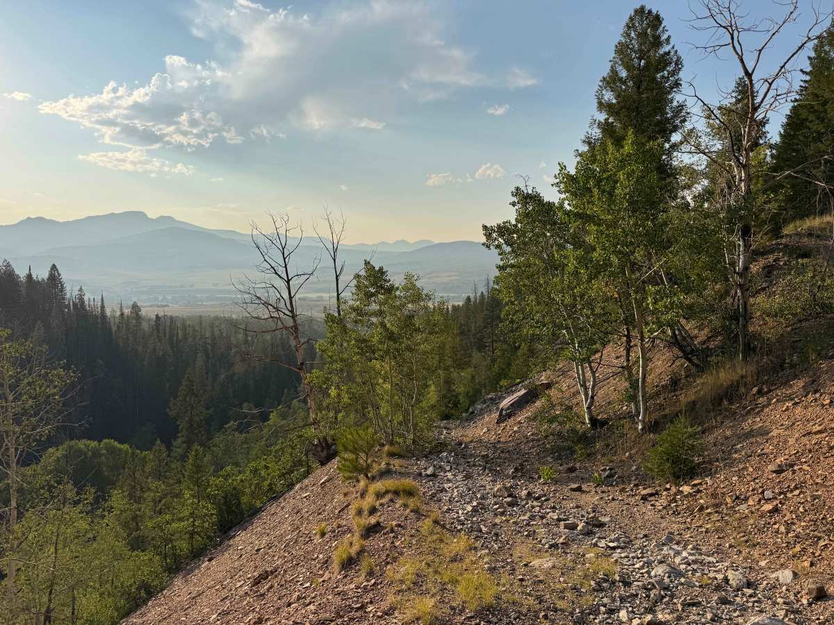
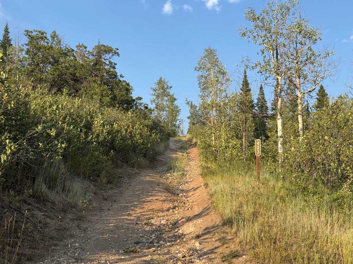
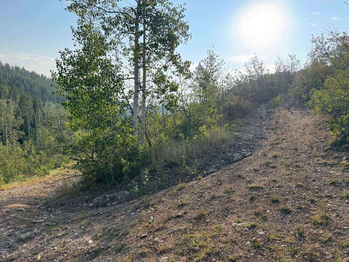
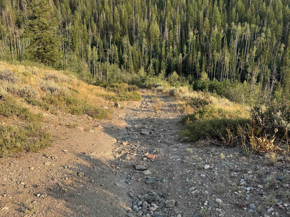
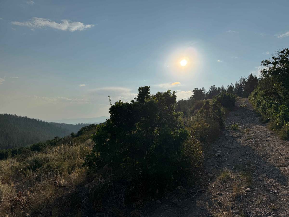
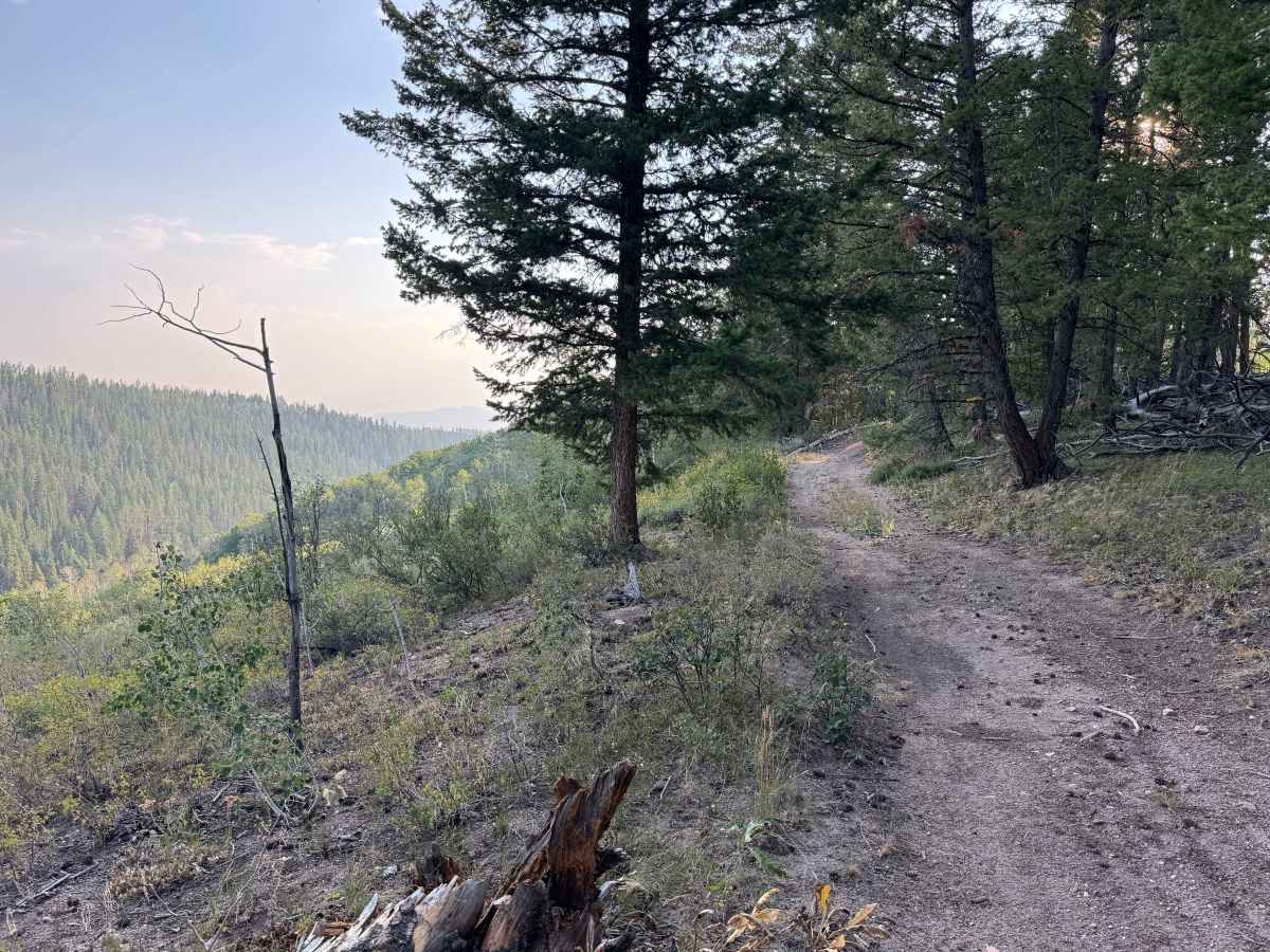
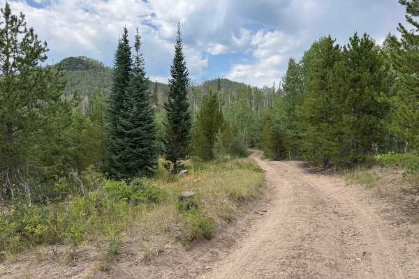
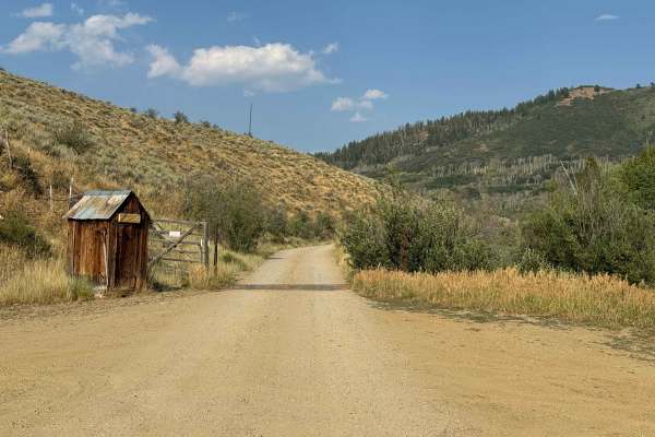
This trail is a great surprise, as what initially appears to be an out-and-back route turns into a unique loop through the remains of the Greenville Mine. It is best traveled from east to west unless you are looking for a significant challenge, as the west-to-east direction requires climbing very steep grades with extremely loose rock and sections of sand. From the east, the trail starts relatively tame before quickly becoming a faint two-track with considerable vegetation and little evidence of recent use. The route is beautiful throughout, following the ridgeline before beginning a steep descent through a series of tight switchbacks and narrow shelf roads. Careful speed control is essential on the descent, as the loose rock can make it easy to slide. Wildlife is abundant throughout the area, adding to the remote feel of this unique short loop. The trail eventually emerges on the west side at a campground, where it connects back to the main road.
Difficulty
Although this trail is legal for full-size vehicles, it is much better suited to short-wheelbase Jeeps, SxS, and other smaller vehicles. Even with a Jeep, it’s a good idea to carry a saw, as there is significant deadfall and several sections that are partially blocked by vegetation and fallen trees. This trail should only be attempted in dry conditions and is best traveled from east to west. The descent on the west side consists of very steep shelf roads with loose rocks and tight switchbacks that would be extremely difficult to climb in anything larger than an SxS. A small Jeep or similar vehicle can make the climb, but it should only be attempted by a very experienced driver.
History
The area around the Greenville Mine has a rich mining history dating back to the late 1800s, when prospectors moved into the mountains around Clark, Hahns Peak, and the surrounding Park Range in search of gold, silver, copper, lead, and zinc. The Greenville Mine was one of several significant workings in the area, with tunnels and shafts driven into the mountainside. Today, the old mine workings, tailings, and historic roads remain as reminders of the region’s mining era, while the surrounding mountains have largely returned to their natural state.