Trail Overview
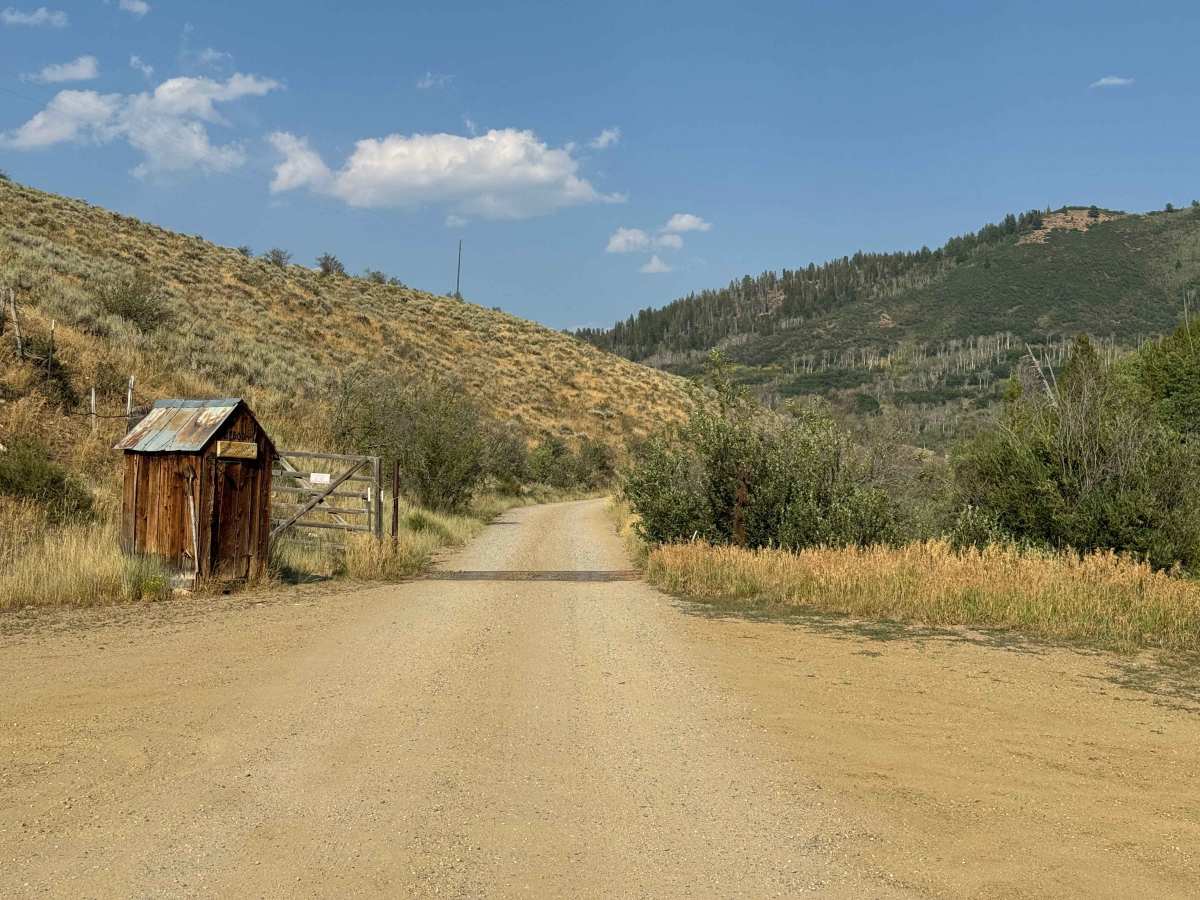
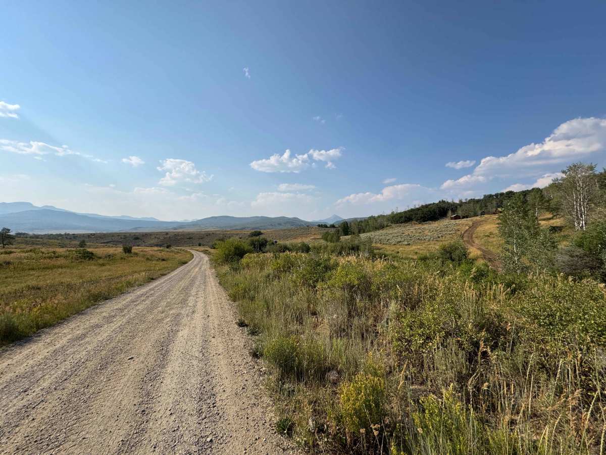
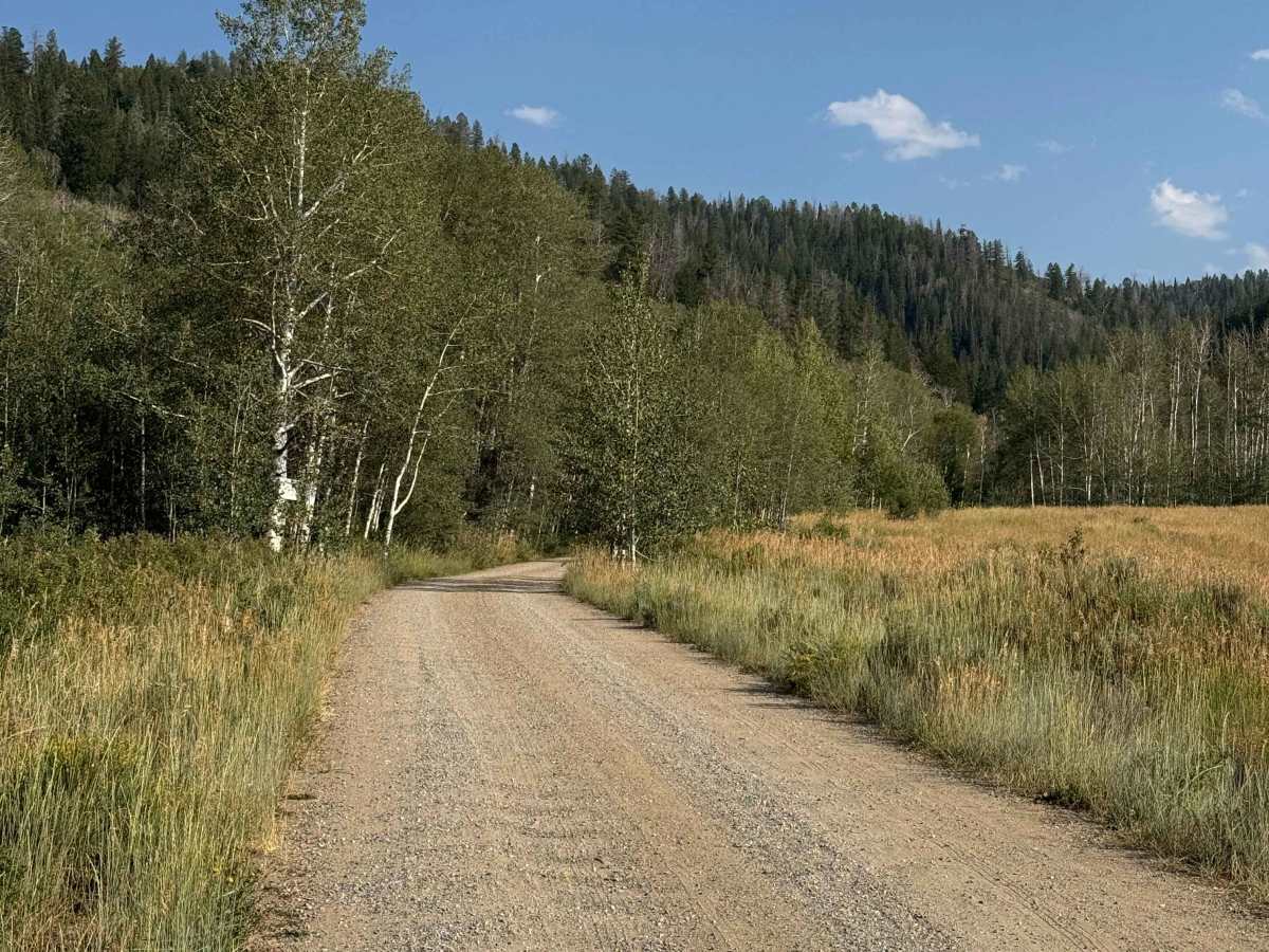
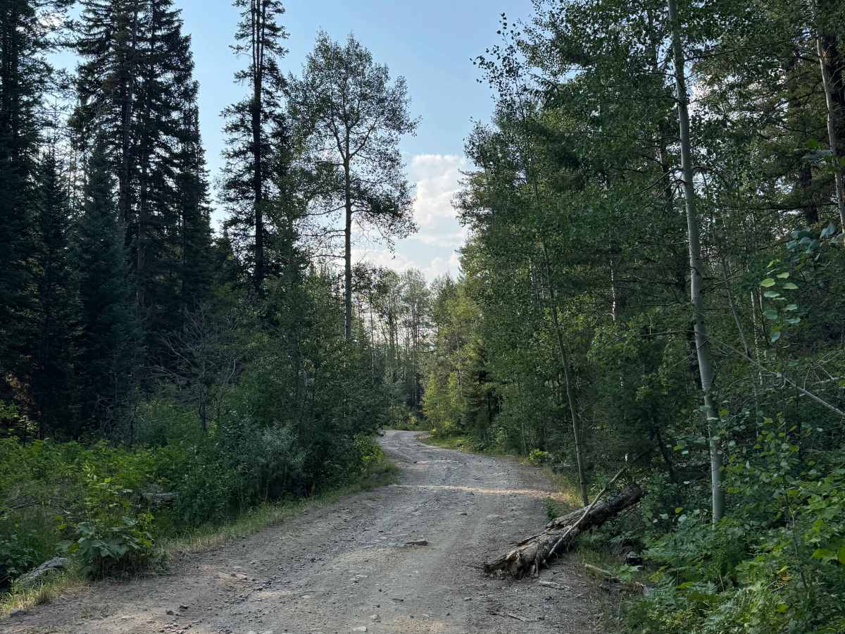
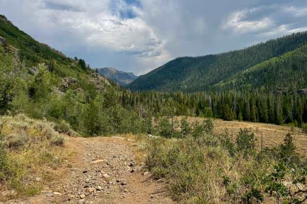
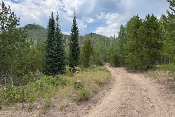
This gravel road leaves the highway and crosses private property via a designated right-of-way before entering the Routt National Forest. The initial section is well maintained and relatively smooth, making it an easy route suitable for virtually any vehicle. Along the way, you’ll pass several interesting sights, including a small outhouse-like structure identified as a local's house. A few miles farther, the road opens into expansive meadows where cattle graze before gradually transitioning into darker, pine-covered forest roads that lead into the Routt National Forest.
Difficulty
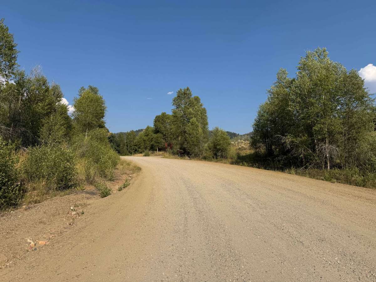
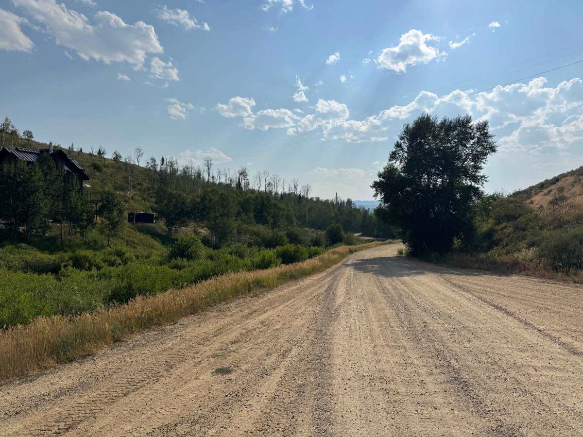
This is an easy, fairly well-maintained gravel road suitable for any vehicle from spring through fall. The only real drawback is the annoying washboard sections in some areas, which can make for a rough ride.
History
The area around the Greenville Mine has a rich mining history dating back to the late 1800s, when prospectors moved into the mountains around Clark, Hahns Peak, and the surrounding Park Range in search of gold, silver, copper, lead, and zinc. The Greenville Mine was one of several significant workings in the area, with tunnels and shafts driven into the mountainside. Today, the old mine workings, tailings, and historic roads remain as reminders of the region’s mining era, while the surrounding mountains have largely returned to their natural state.