Trail Overview
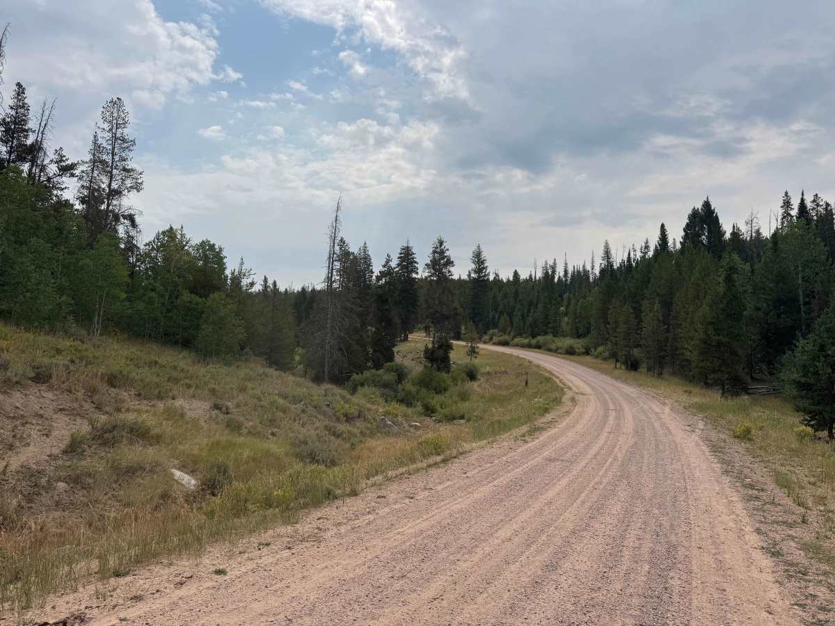
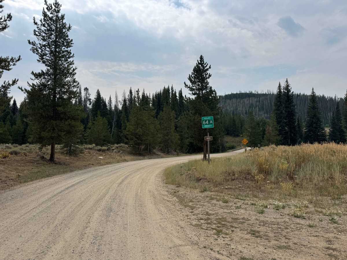
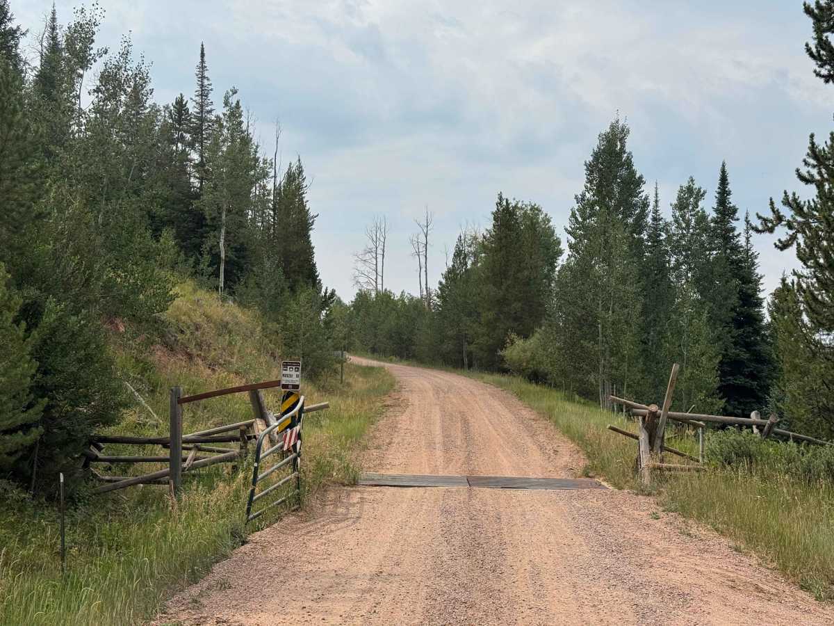
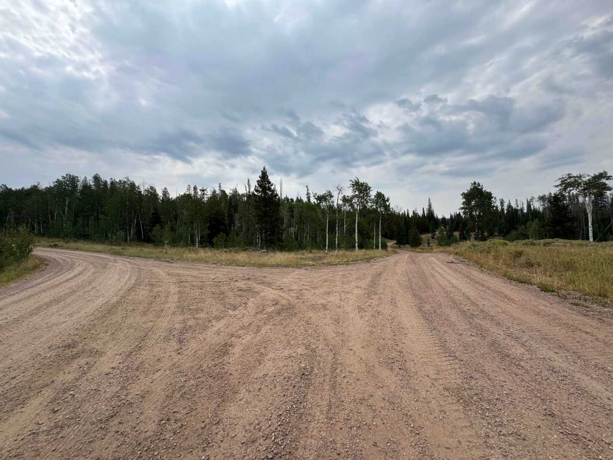
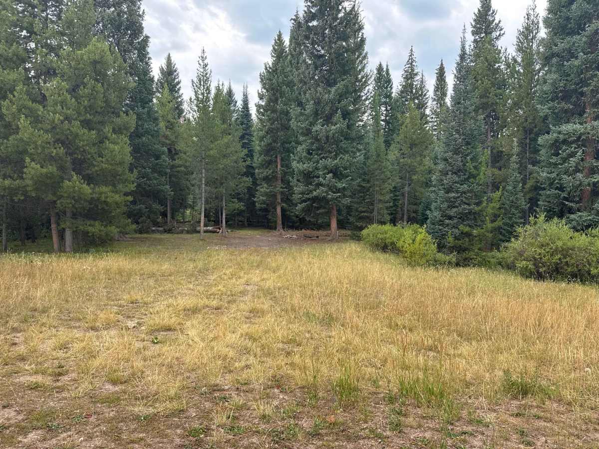
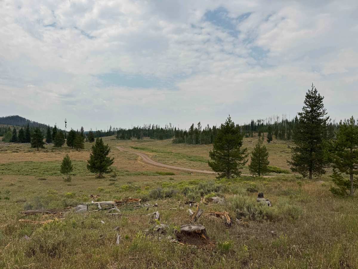
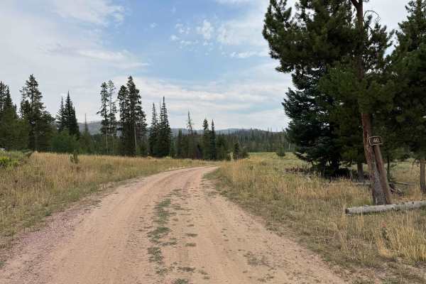
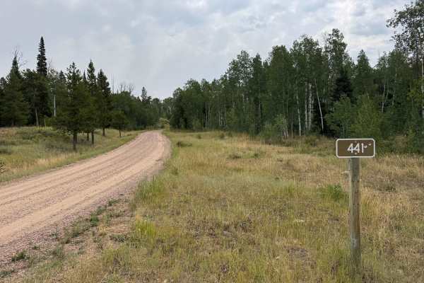
This route begins with a turn from paved Highway 64 and immediately provides access to non-motorized trailheads, with parking areas visible. The road itself is a well-maintained gravel route that should be accessible to virtually any vehicle, including both 2WD and 4WD vehicles, under normal dry conditions. Early in the route, pay attention to the posted camping regulations, as restrictions are in place near the developed recreation areas. After passing the designated fee camping area on the right, dispersed camping opportunities become much more abundant, with numerous sites scattered throughout the surrounding forest. From there, the road continues to climb and descend through a beautiful forest setting, with a series of gentle S-turns adding variety to the drive. Near the end of the route, a large campground is located on the right, but the road continues approximately another 100 yards before reaching its end at a gate. Unfortunately, the gate has some graffiti, but the route beyond it is designated for non-motorized use only, including horseback riding, mountain biking, and hiking. Be sure to respect the gate and continue beyond it only by permitted non-motorized means.
History
The Reed Creek Road and Mill Creek area lies in the historic North Routt County landscape surrounding Clark and the upper Elk River. The valleys and mountain drainages were used long before modern roads were established, with Native American groups traveling through the region and later trappers, hunters, and settlers using the surrounding valleys and passes. As settlement expanded in the late 1800s and early 1900s, roads such as Reed Creek Road developed primarily as access routes for ranching, timber, hunting, and Forest Service activities. Much of the surrounding land eventually became part of the Routt National Forest, preserving the area’s extensive forests, meadows, and mountain watersheds. Reed Creek Road today provides access into this remote country, including the Hinman area and surrounding Forest Service lands. The Mill Creek watershed remains an important natural feature of the area and has also been part of the region’s modern forest-management history, including the 2017 Mill Creek Fire, which burned more than 450 acres northeast of Hayden.