Trail Overview
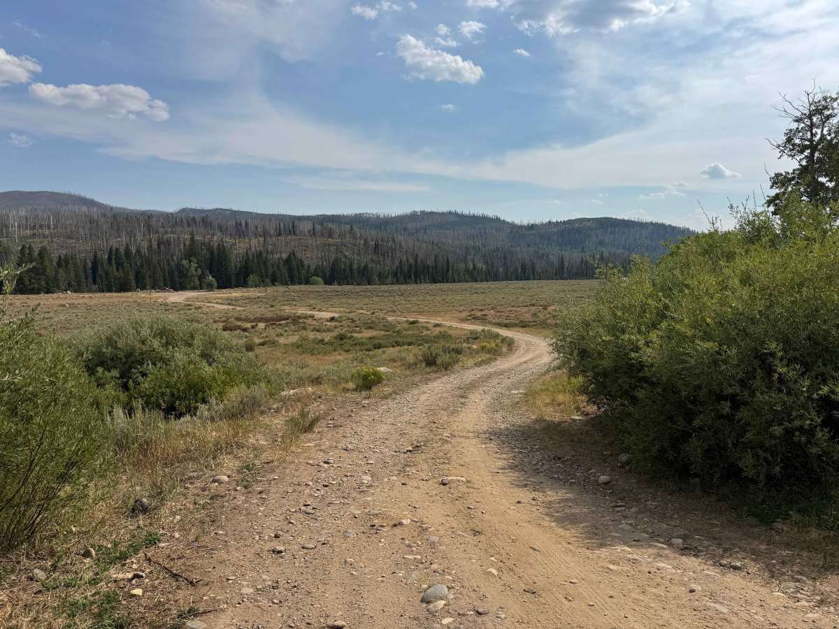
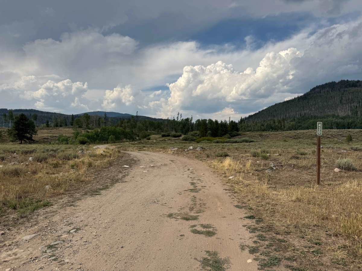
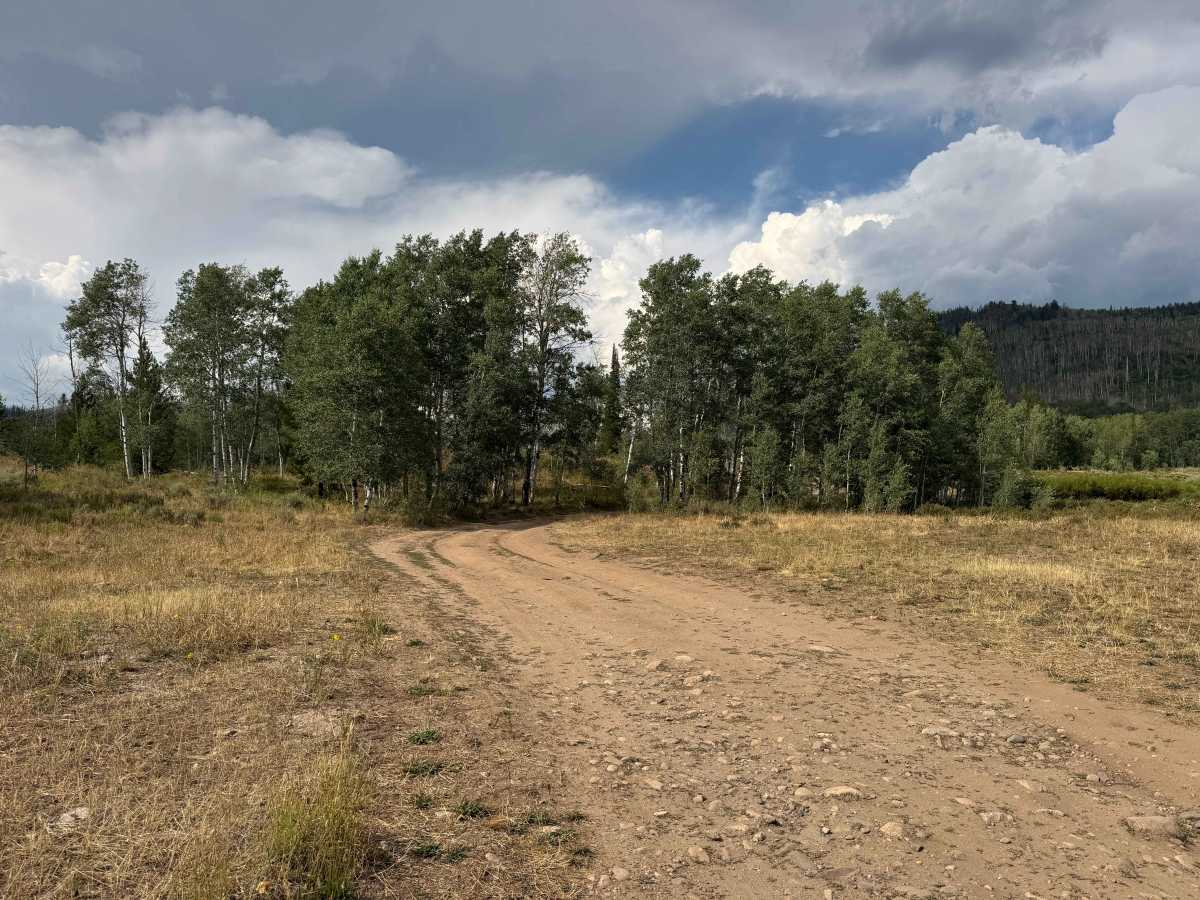
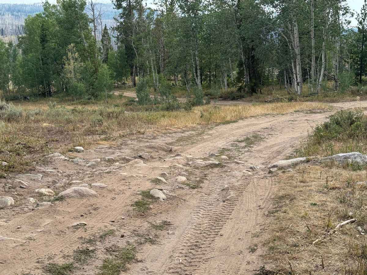
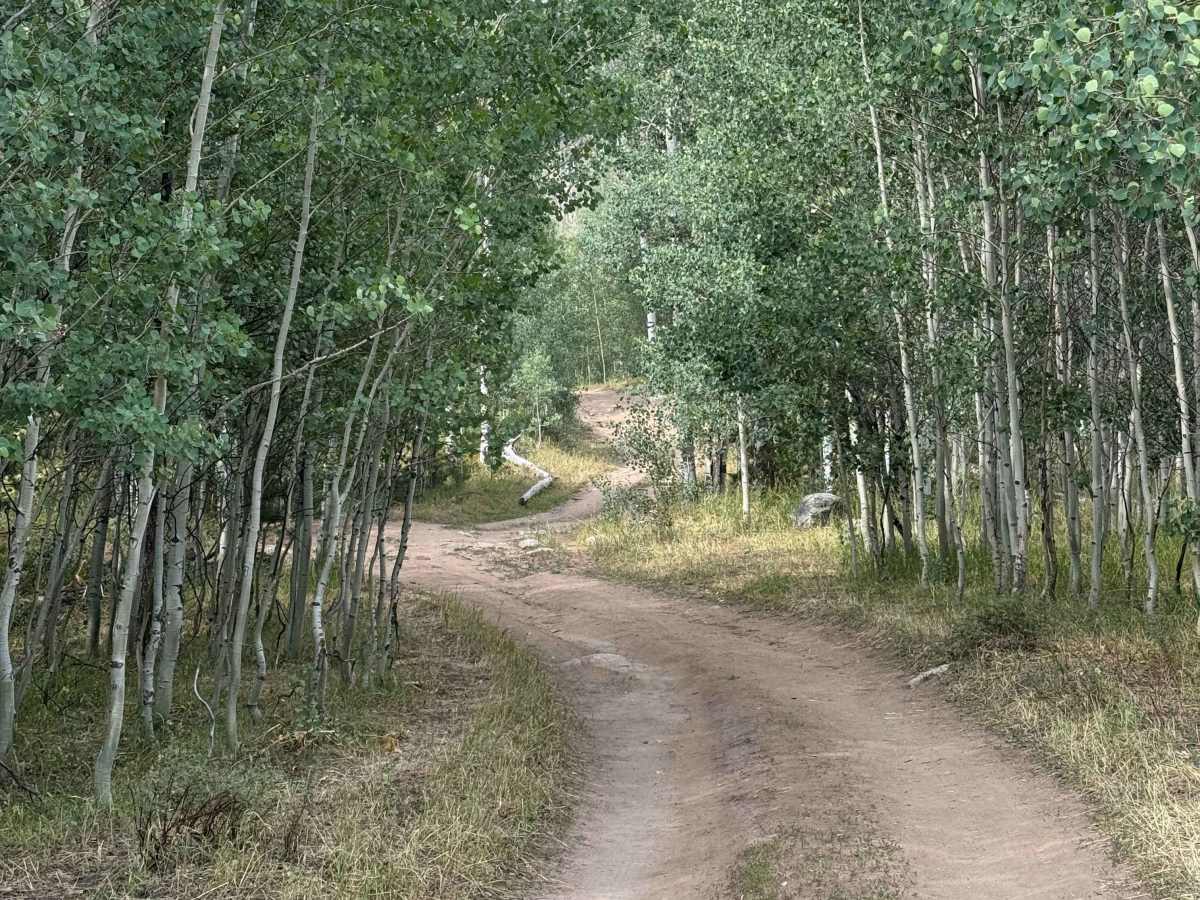
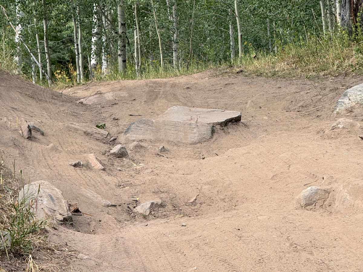
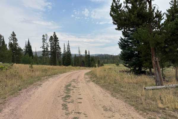
This short, approximately one-mile out-and-back route winds through a beautiful pine forest, offering a peaceful drive with plenty of opportunities to spot deer and other wildlife along the way. Although brief, the trail includes two challenging sections that require careful wheel placement, a high-clearance vehicle, and 4WD. The first obstacle is a moderately steep, short climb featuring a sharp, approximately 12-inch-high rock ledge that is roughly two feet wide. Careful tire placement is critical, and having a spotter outside the vehicle is strongly recommended to help prevent a tire or sidewall from contacting the sharp edge. Near the end of the route, the trail drops into a scenic campground and provides access to a popular trailhead. Remember that the descent into the campground means you’ll face the same challenging climb on your way back out, making this a short but rewarding route through some beautiful North Routt scenery.
Difficulty
This route presents a few challenges even in dry conditions and definitely requires a high-clearance vehicle with 4WD. The first obstacle is a moderately steep climb with several large, fixed boulders, including one particularly hazardous rock with a sharp-edged step that requires careful tire placement. A spotter is strongly recommended here to help avoid sidewall damage and an unexpected end to your day. Near the end of the route, after reaching the trailhead and campground, you’ll encounter a short but fairly steep climb on the way back out. This section includes some loose rock and will require 4WD, but its short length makes it manageable with proper line selection.
History
Seedhouse Road, now also known as Routt County Road 64 and FS 400 farther into the forest, has a history closely tied to the early development of northern Routt County. The name comes from a U.S. Forest Service seed-collection project established in 1912 to gather seeds and pine cones from the surrounding forests; although the project proved too costly, the site later served as a Forest Service summer camp during the 1930s and 1940s. The road follows the Elk River valley north of Clark and eventually enters the forests leading toward the Mount Zirkel Wilderness, providing access to numerous historic and popular mountain trailheads.