Trail Overview
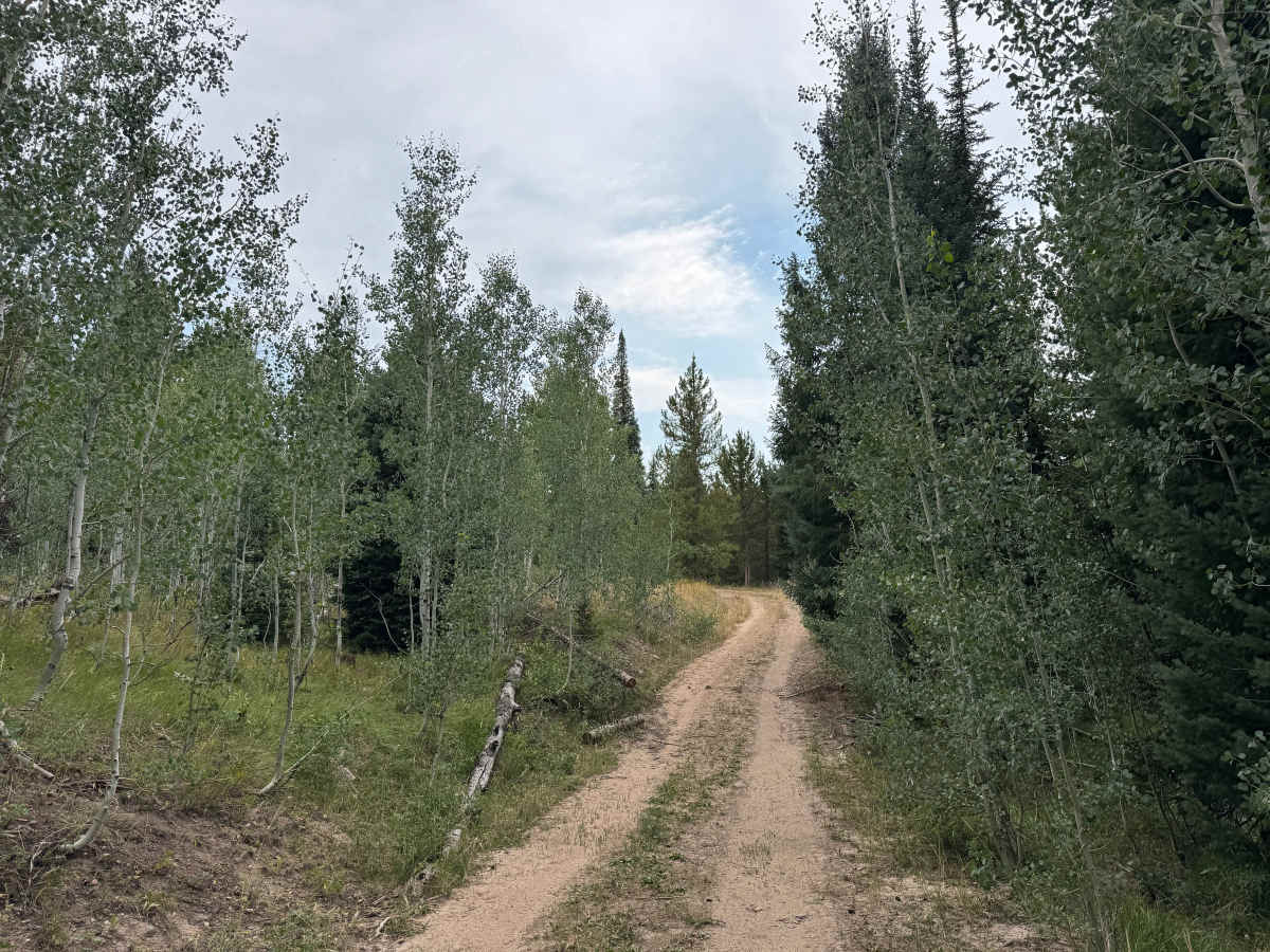
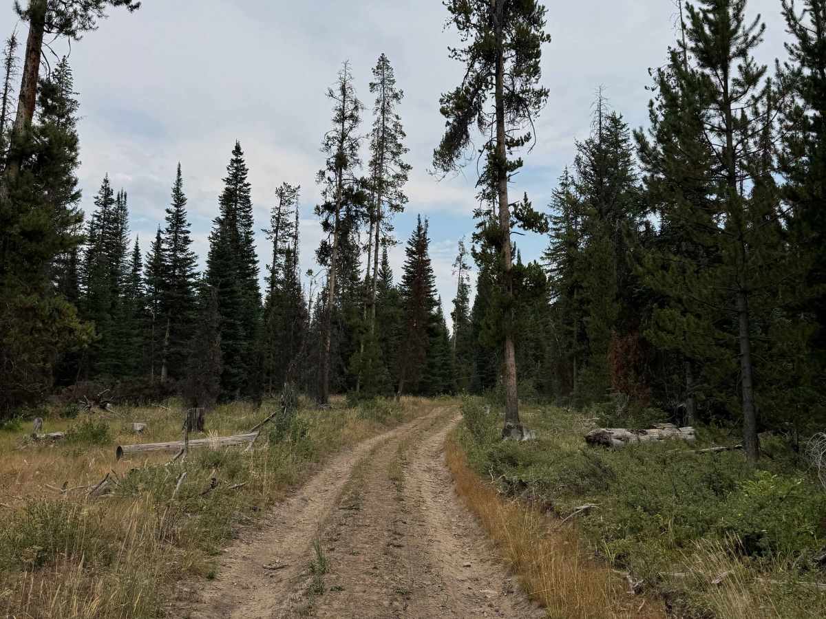
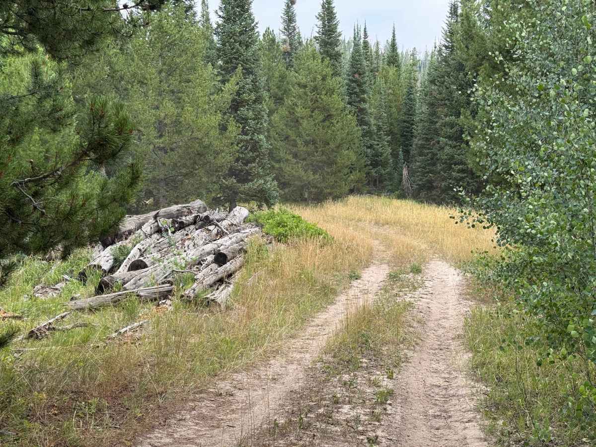
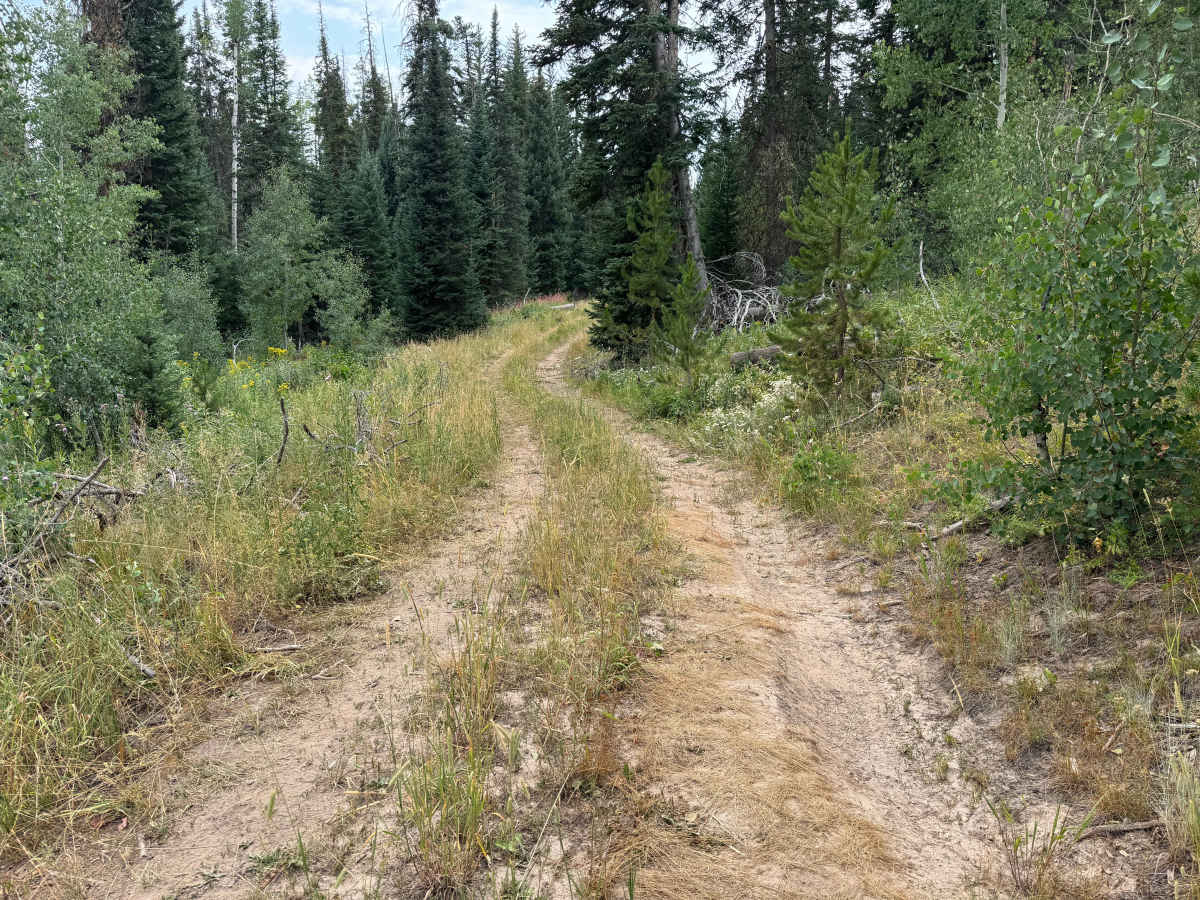
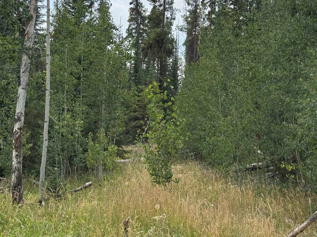
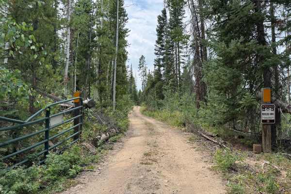
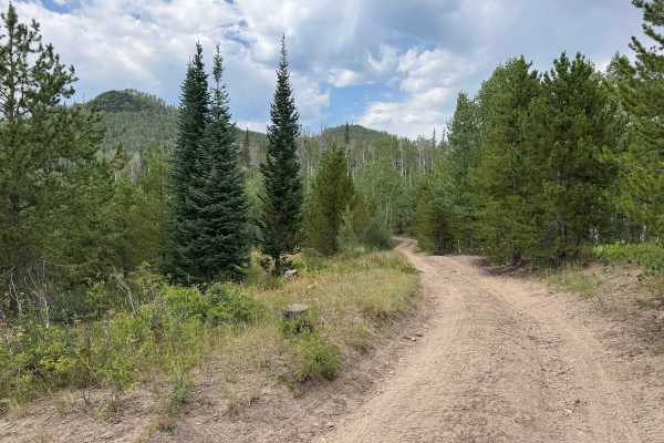
This very short out-and-back trail provides a pleasant and relatively easy drive into the surrounding forest, with one or two dispersed campsites along the route. In dry conditions, the trail is generally straightforward and may not require 4WD. The route sees light use, although visitors were using the area to gather firewood; keep in mind that firewood collection on National Forest System lands may require a permit and is subject to local regulations. The trail makes for an enjoyable and uncomplicated excursion into the forest, but it ends quickly. Although additional tracks continue beyond the end of the mapped route, numerous fallen trees and deadfall currently block vehicle travel. From this point, the area can be explored further on foot or horseback.
Difficulty
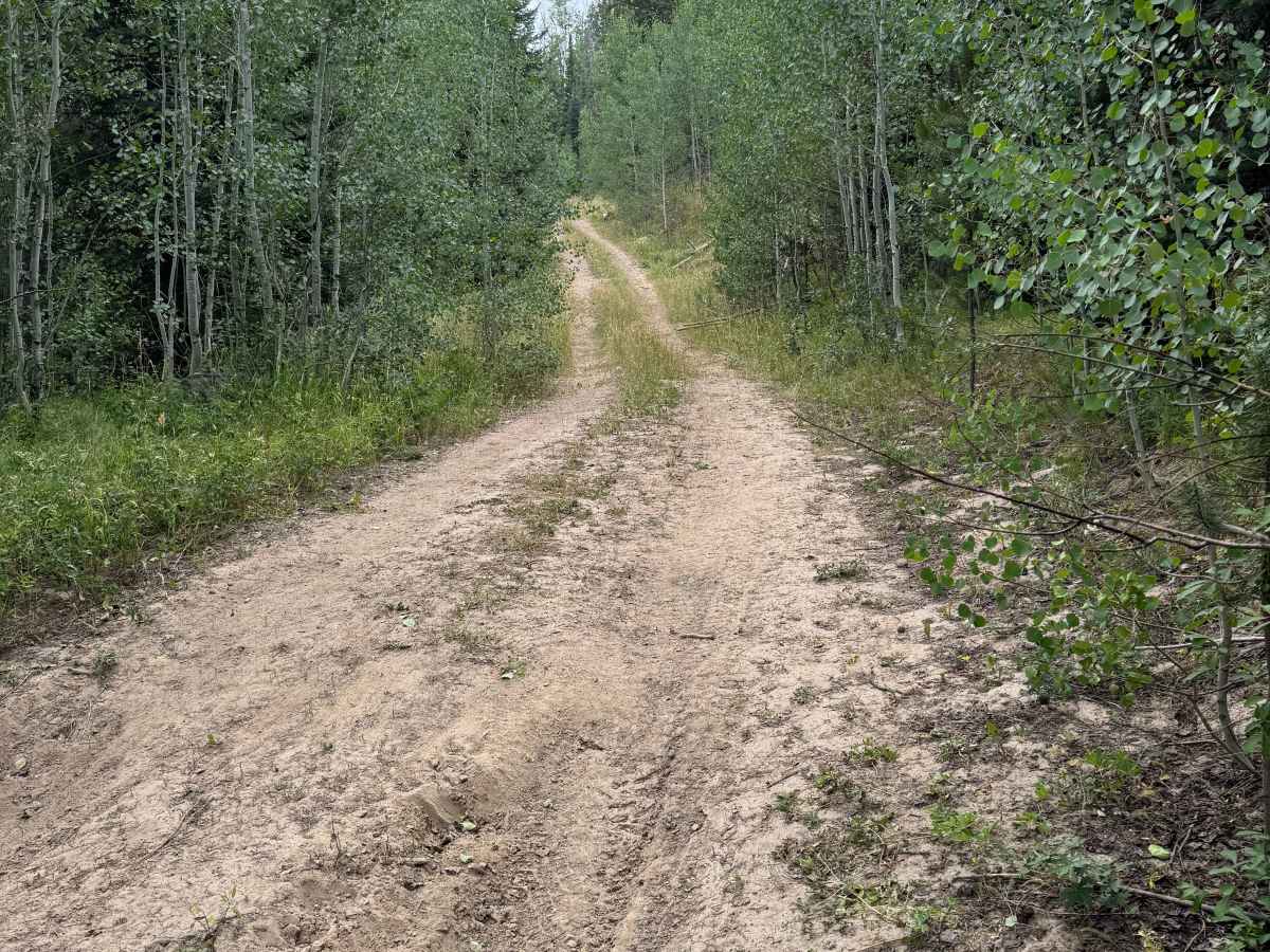
This section of road is not particularly difficult, especially in dry conditions. There are a few small ruts along the route that require some attention, but overall the trail is straightforward and should not require 4WD. A vehicle with moderate ground clearance is recommended, particularly to comfortably navigate the occasional uneven sections and scattered obstacles.
History
The Reed Creek Road and Mill Creek area lies in the historic North Routt County landscape surrounding Clark and the upper Elk River. The valleys and mountain drainages were used long before modern roads were established, with Native American groups traveling through the region and later trappers, hunters, and settlers using the surrounding valleys and passes. As settlement expanded in the late 1800s and early 1900s, roads such as Reed Creek Road developed primarily as access routes for ranching, timber, hunting, and Forest Service activities. Much of the surrounding land eventually became part of the Routt National Forest, preserving the area’s extensive forests, meadows, and mountain watersheds. Reed Creek Road today provides access into this remote country, including the Hinman area and surrounding Forest Service lands. The Mill Creek watershed remains an important natural feature of the area and has also been part of the region’s modern forest-management history, including the 2017 Mill Creek Fire, which burned more than 450 acres northeast of Hayden.