Trail Overview
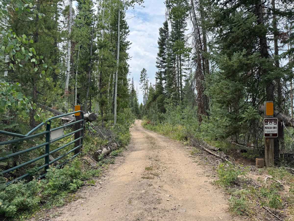
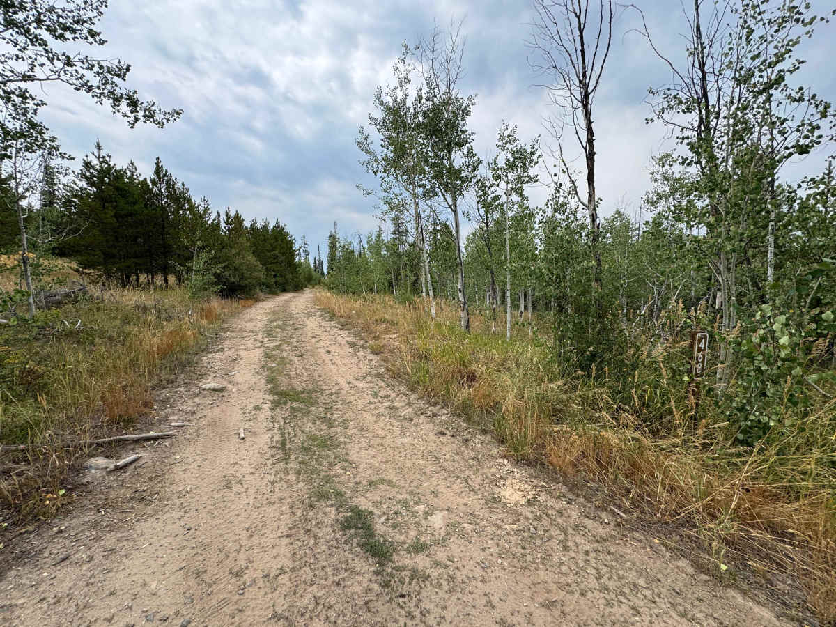
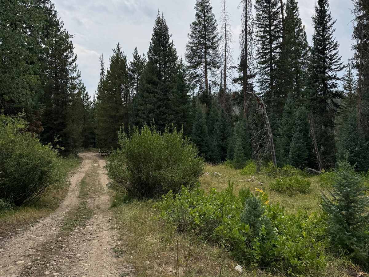
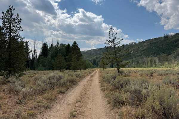
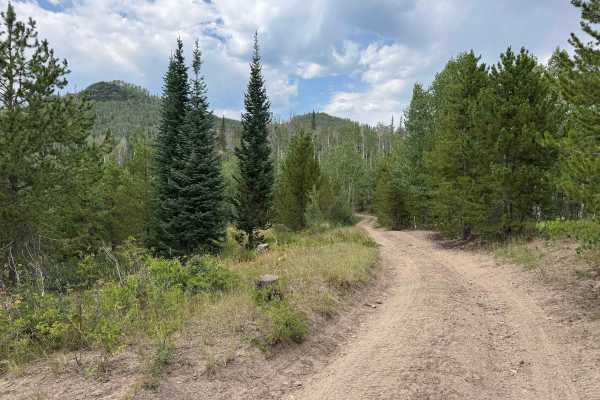
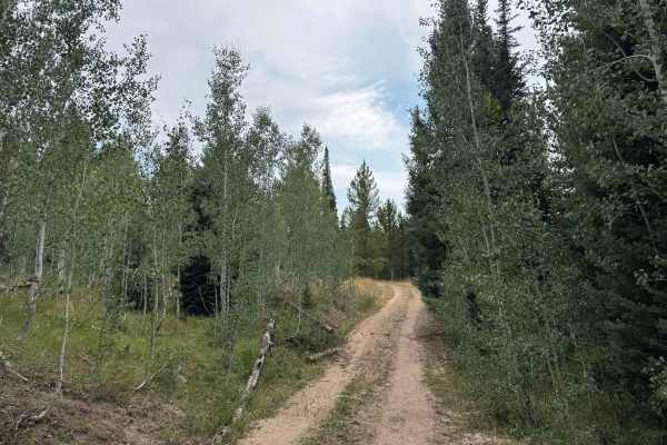
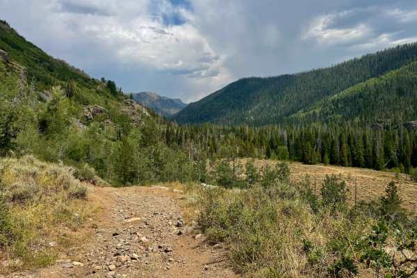
This trail provides an excellent crossover route between Mill Creek Road and the Bowes mining roads, creating a convenient connection between two groups of backcountry routes and allowing travelers to explore a much larger section of the surrounding forest. The trail itself remains relatively level, with very little elevation gain or loss as it traverses between the two areas. Beginning on the Elk River side, the route gradually winds through the forest before reaching the Greenville mining side, placing you near the historic mining area and its surrounding roads. There are no particularly difficult obstacles, and in dry conditions, most vehicles with moderate ground clearance should be able to travel the route without needing 4WD. Several attractive dispersed campsites can be found along the way, making this a worthwhile side route for those looking to spend more time exploring the area. The trail eventually reaches a cattle gate marking the end of the route. The gate is not a trail closure; visitors simply need to pass through and make sure the gate is securely closed behind them to keep livestock where they belong.
Difficulty
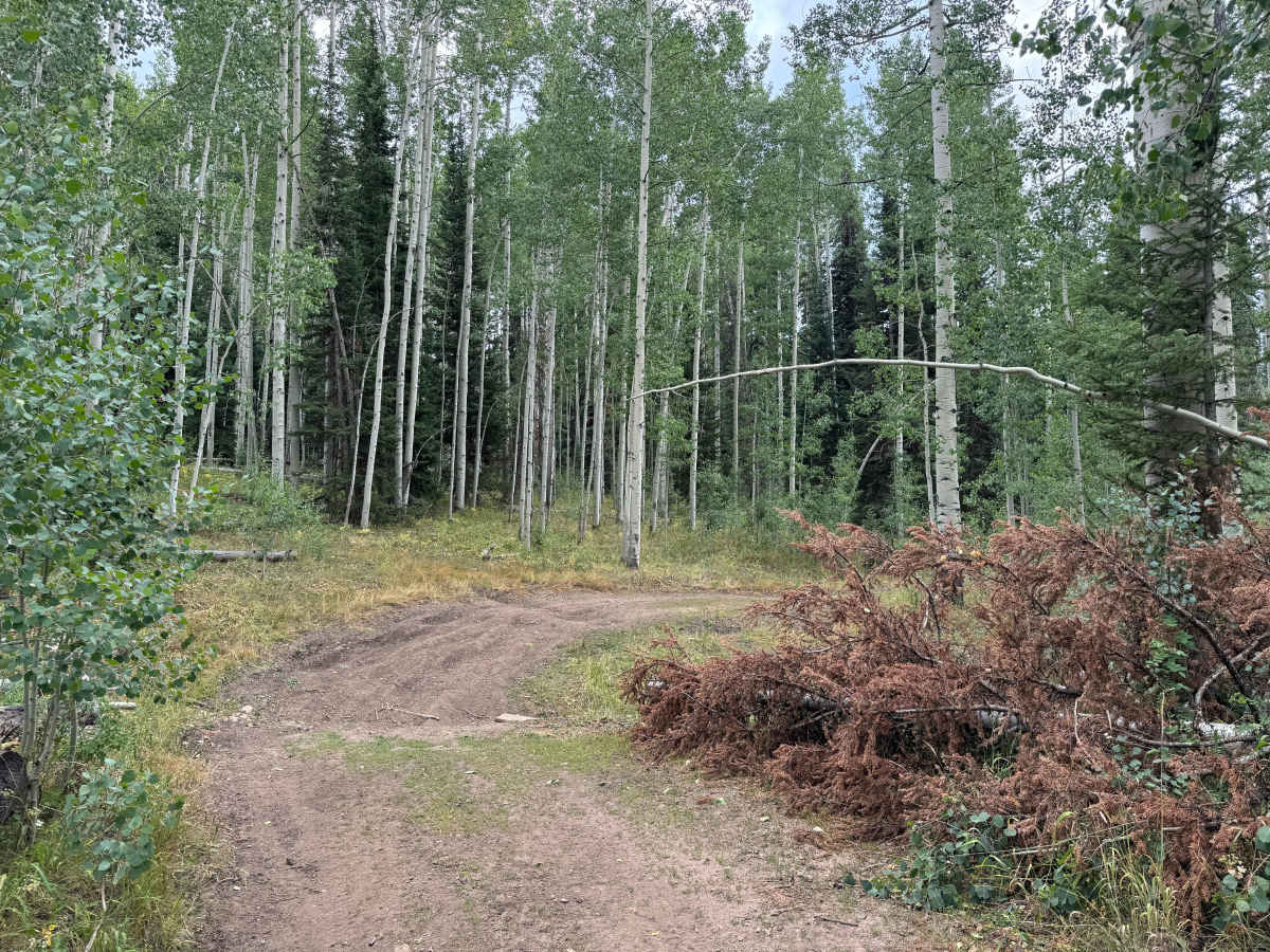
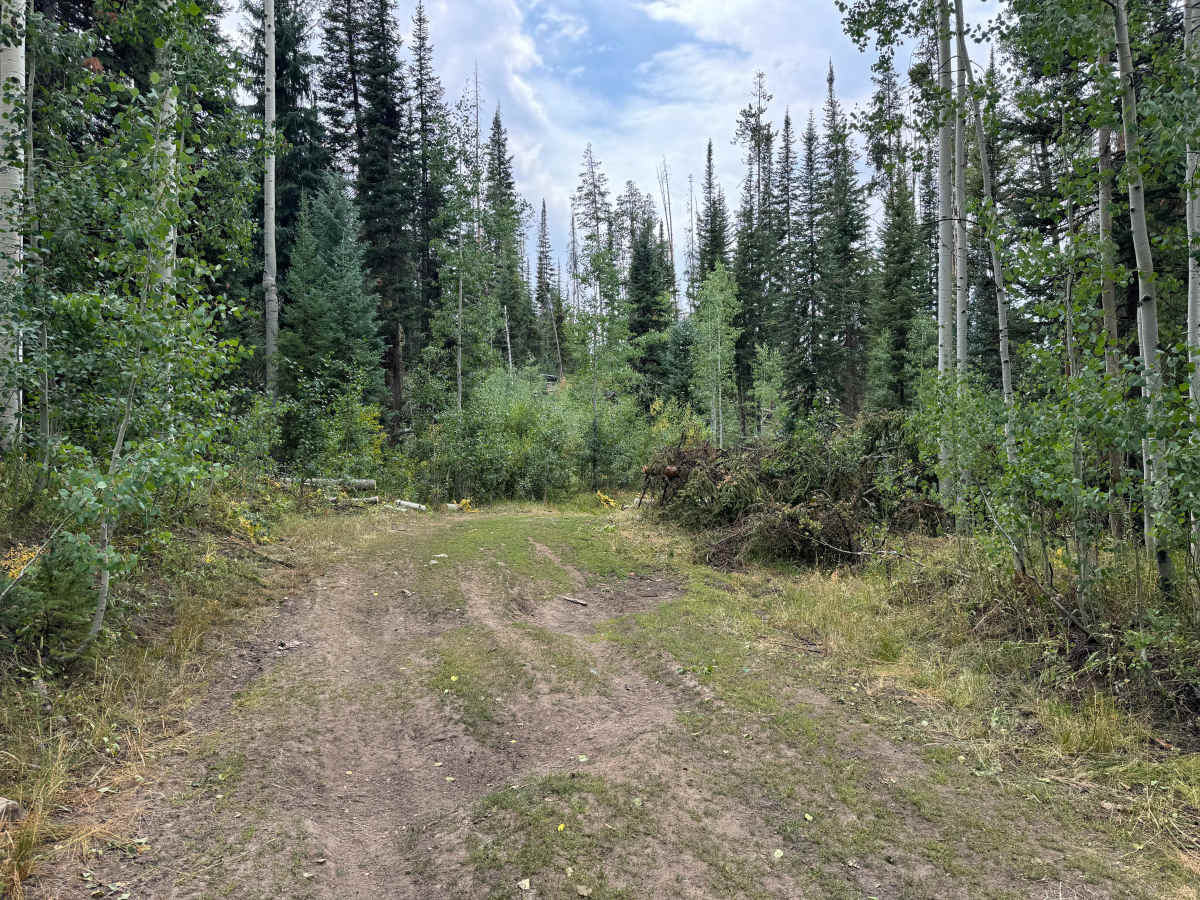
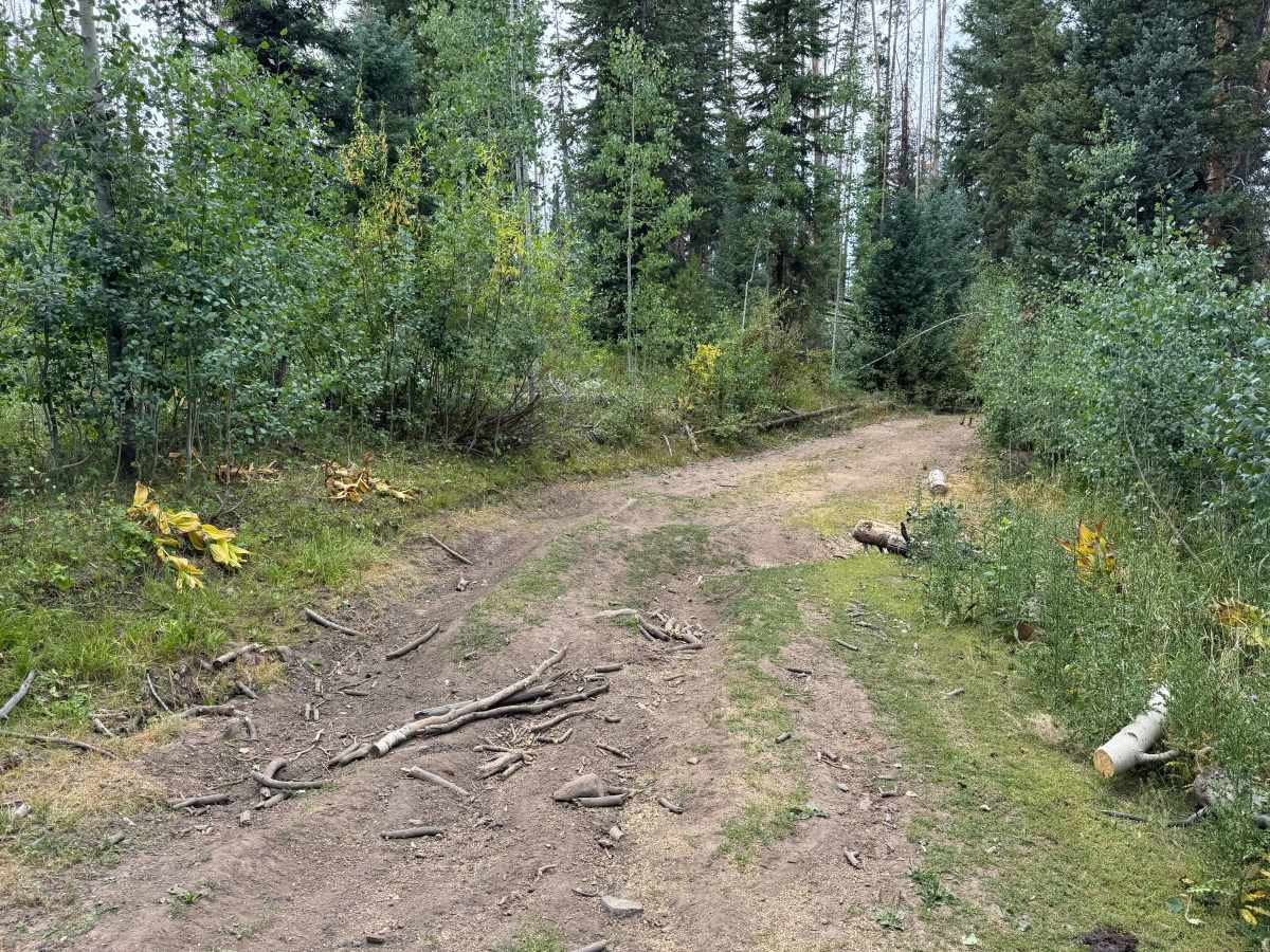
This is a relatively easy route that should be manageable for most vehicles with moderate ground clearance, particularly in dry conditions. The trail is generally straightforward, with no significant obstacles or challenging sections. However, there is considerable deadfall throughout the area, and fallen trees can occasionally block the roadway. Carrying a saw is recommended, as you may encounter a downed tree across the trail and need to clear a small obstruction to continue your journey.
History
Mill Creek Road passes through an area with a strong connection to the early mining history of North Routt County. During the late 1800s and early 1900s, prospectors and miners were drawn to the surrounding mountains in search of gold, silver, lead, zinc, and other minerals. Just to the west near Clark is the historic Greenville Mine, one of the better-known mining sites in the area. The Greenville workings eventually included multiple tunnels, shafts, and extensive tailings, and records from the early 1940s document active production of lead and zinc at the mine. Today, Mill Creek Road provides access through a landscape that still reflects this history, with old mining routes, forest roads, ranches, and natural drainages scattered throughout the surrounding mountains.