Trail Overview
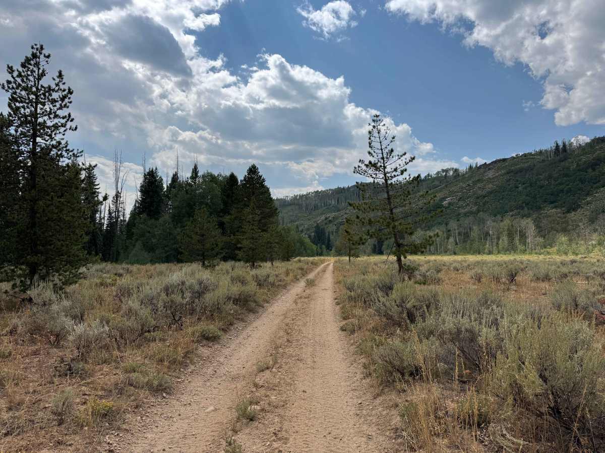
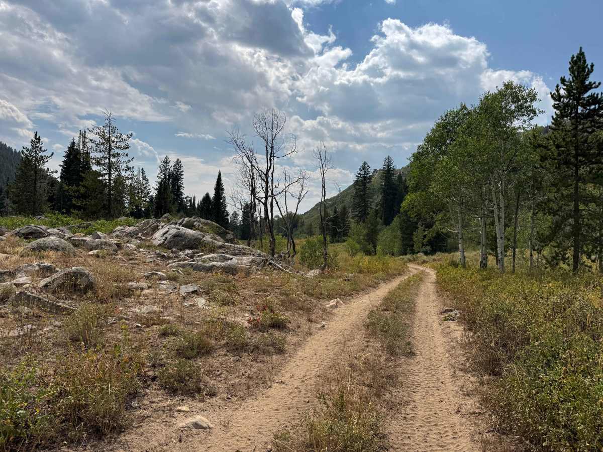
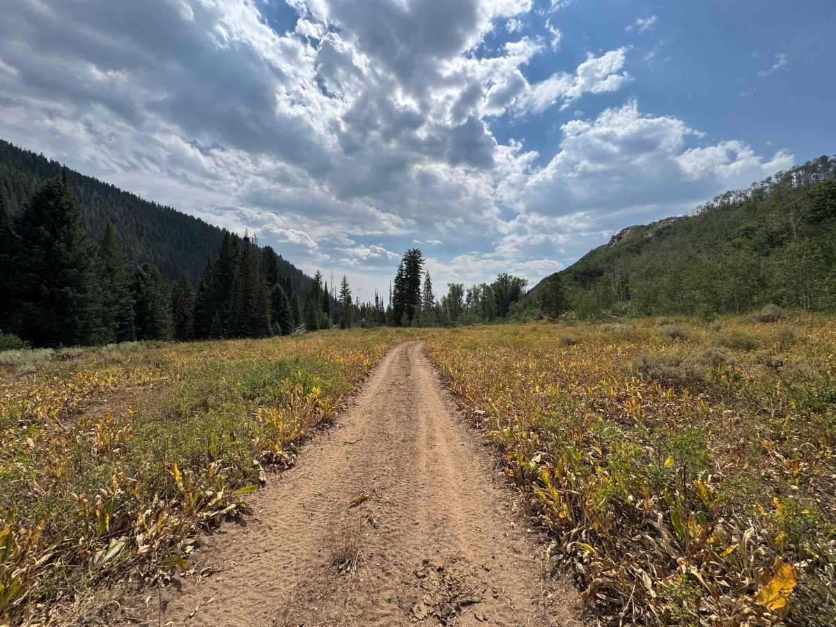
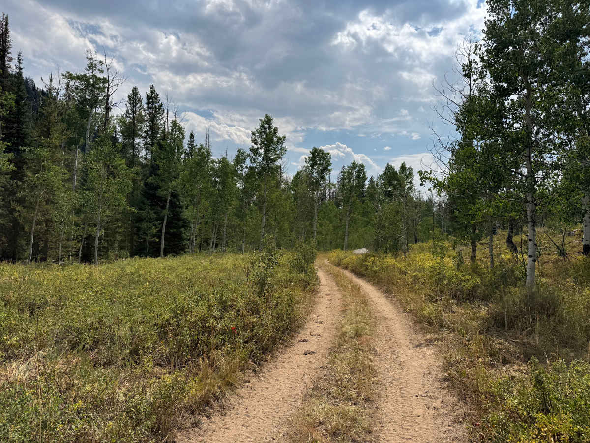
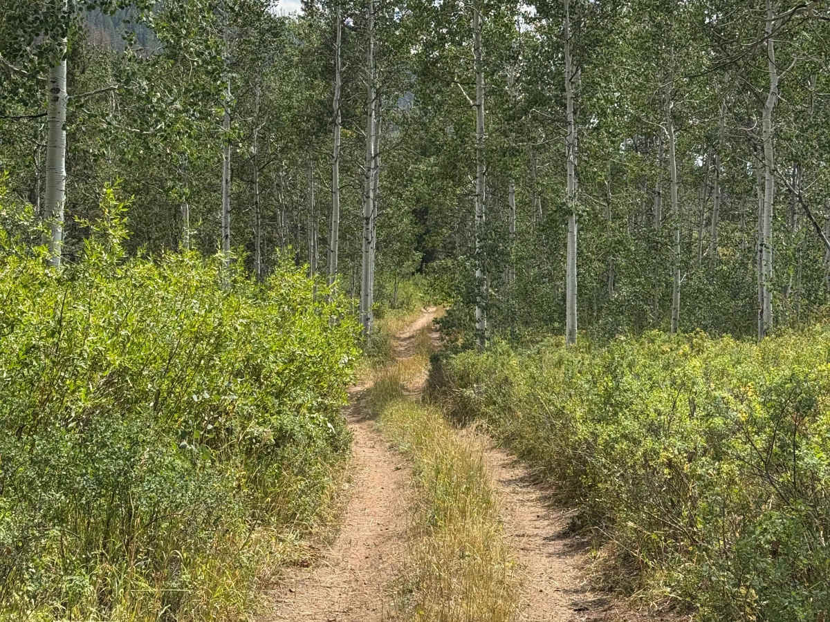
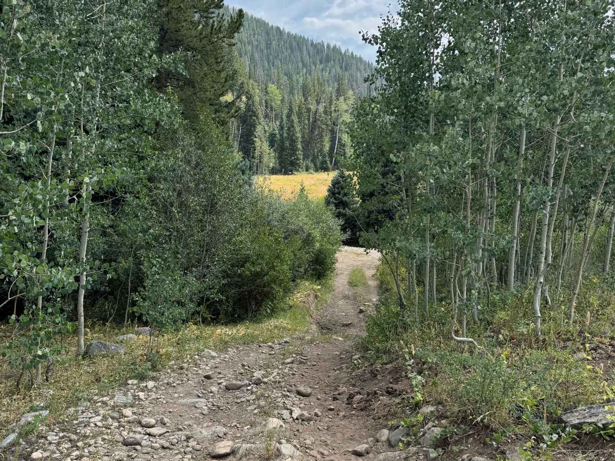
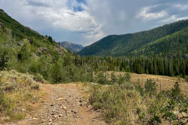
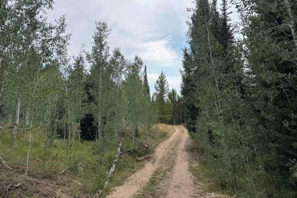
This is a short, scenic out-and-back route that leads to the end of motorized access, where a designated parking area provides a convenient place to leave your vehicle before continuing on foot or horseback. The trail offers an easy and enjoyable drive through beautiful open meadows surrounded by stands of aspen and pine trees, with abundant wildlife and a peaceful mountain setting along the way. One of the more interesting features is a relatively large creek crossing that adds a little adventure to an otherwise easy route. At the time of mapping, the water was approximately one foot deep. Continuing roughly another 100 yards beyond the creek brings you to the entrance of trailheads designated for hiking and equestrian use only. Motorized travel ends at this point.
Difficulty
This is not an especially challenging route, although there are a few rocky sections that require attention, along with several ruts where careful tire placement is recommended. There is also a roughly 30-foot-long creek crossing that is generally shallow, but conditions can change quickly depending on recent weather. Be sure to consider rainfall and runoff before attempting the crossing, particularly after storms.
History
Bowes Mining Road is part of the historic network of roads that once provided access to the mining country surrounding Hahns Peak and the Mount Zirkel region of northern Colorado. During the late 19th and early 20th centuries, prospectors and miners traveled these remote mountain valleys in search of valuable mineral deposits, creating a network of rough roads and trails that connected mines, camps, and settlements. Today, much of that mining activity has disappeared back into the forest, but roads such as Bowes Mining Road remain as reminders of the region’s mining heritage. The route now provides access to the surrounding forest and the Mount Zirkel area, where the remnants of Colorado’s early mining era can still be found alongside the rugged mountain landscape.