
Beginner Off-Road Trails
Near Canton, North Carolina
Explore All Beginner Trails Near Canton, North Carolina
Beginner Off-Road Trails Near Canton, North Carolina
Discover the best beginner-friendly off-road trails near you. These easier, lower-rated trails are a great place to start — browse trail maps, check difficulty ratings, and find your next adventure.
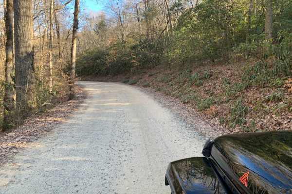
Wash Creek FR 5000
This is an easy road that does not require 4x4. The road is not maintained when it has snowed. You gain 945 feet of elevation, but it is very gradual. There are several places along the road with stunning views, but you would have to go in the winter to get the best views. There are several designat...
Learn more about Wash Creek FR 5000
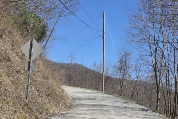
Cove Creek Road
Cove Creek Road is a short gravel route that offers a quick but scenic connection in the area, often used as an access point toward the Cataloochee Turnpike. The road surface is primarily gravel and generally well maintained, though it narrows to a single lane with several designated pull-offs for p...
Learn more about Cove Creek Road
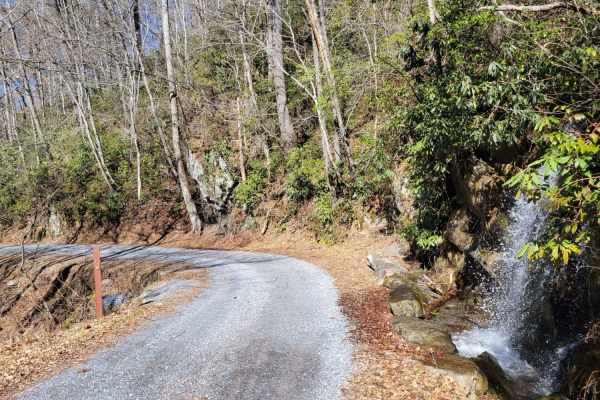
Cataloochee Turnpike to Big Creek
Gravel Road through the GSMNP Cataloochee area to Big Creek. The road is suitable for most vehicles, but higher clearance is recommended due to some rocky areas. The road will close during significant weather events like snowstorms, so checking the road status before departing is best. There are lov...
Learn more about Cataloochee Turnpike to Big Creek
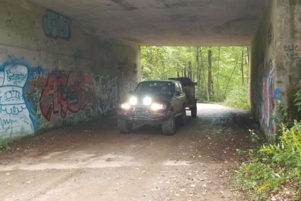
Bent Creek Trail
Bent Creek Trail (Forest Service Road 479) is an easy, scenic gravel connector ideal for beginner off-roaders and overland travelers looking to transition seamlessly from the Asheville area to the heights of the Blue Ridge Parkway. Spanning approximately 4.4 miles through the Pisgah National Forest,...
Learn more about Bent Creek Trail
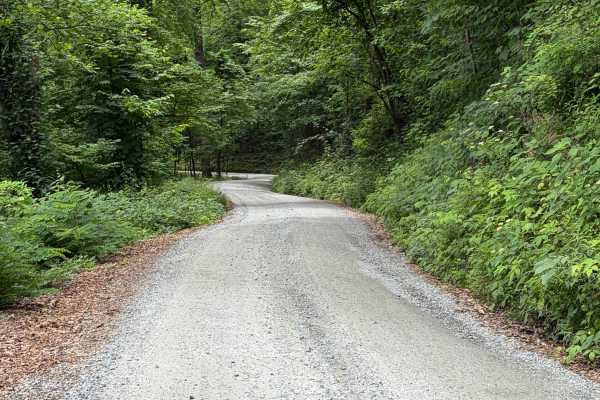
Headwater
Headwater Road (FS 475B) is an easygoing forest service road suited for stock SUVs, crossovers, and high-clearance passenger vehicles looking for scenic access in the Pisgah Ranger District. Starting off US-276 near the Davidson River and the base of Looking Glass Rock, this well-traveled gravel rou...
Learn more about Headwater
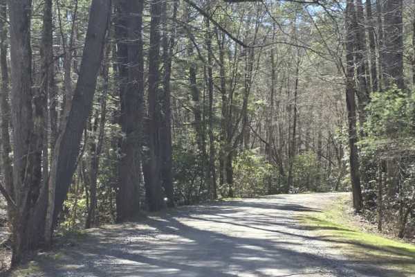
Cataloochee Creek Road
Cataloochee Creek Road is an easy gravel drive that provides access to one of the more historically rich areas in the region. The road is generally well-maintained and typically wide enough for two vehicles, making it a straightforward route suitable for most drivers. Gentle grades and a series of m...
Learn more about Cataloochee Creek Road
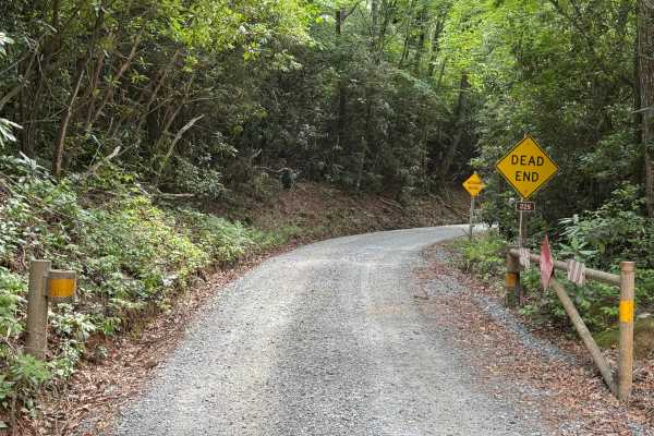
Cove Creek Road - FS 225
Cove Creek Road - FS 225 is a 2.2-mile out-and-back route that follows a single-lane gravel road with places to pass. The road is well maintained and travels through heavily forested terrain before reaching a clearing at the end of the route. Rated easy, it features a smooth surface with no obstacle...
Learn more about Cove Creek Road - FS 225
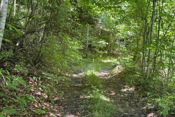
Piney Mountain Flats - FS 4666 (Rough Butt)
Piney Mountain Flats (FS 4666), part of the Rough Butt trail complex, is a 0.6-mile point-to-point route that follows a single-lane forest road with few places to pass. The packed dirt and rock surface is not maintained and travels through heavily forested terrain with an easy difficulty rating. Com...
Learn more about Piney Mountain Flats - FS 4666 (Rough Butt)
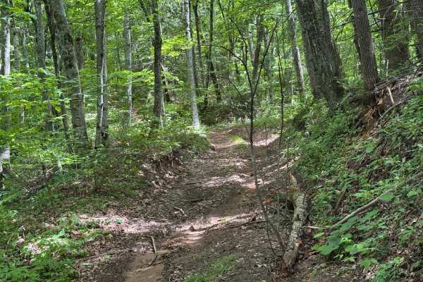
Hunt Cabin - FS 4666A
Hunt Cabin (FS 4666A) is a 0.8-mile out-and-back route that follows a single-lane forest road with few places to pass. The packed dirt and gravel surface is not maintained as it travels through heavily forested terrain with an easy difficulty rating. A quiet forest setting, some erosion, and several...
Learn more about Hunt Cabin - FS 4666A
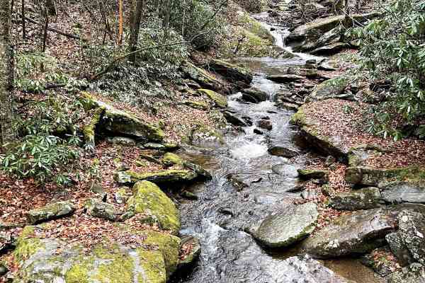
Creek Side Scenic Drive
This beautiful "Creek-Side Dirt trail is a must if you like driving on forest roads and you like the view/sound of the roaring creeks. If you ever plan to go to Max Patch (360 views of the surrounding mountains in North Carolina & Tennessee), this trail is very easy to jump on when leaving. As you l...
Learn more about Creek Side Scenic Drive

Little Creek Road
Little Creek Road is an easy, graded gravel route that offers a straightforward drive with a wide, two-lane surface. The road is well maintained and generally smooth, making it accessible for most vehicles under normal conditions. With no notable technical terrain or obstacles, the route is best sui...
Learn more about Little Creek Road
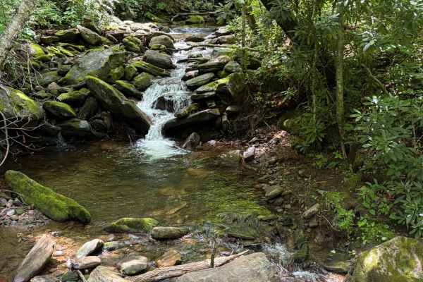
Davidson River Road - FS 475
Davidson River Road is a well-maintained Forest Service road that travels through a portion of the Pisgah National Forest. The road runs adjacent to the Davidson River. There are several waterfalls visible from the trail and access points for the river. Several trailheads offer parking along the tra...
Learn more about Davidson River Road - FS 475
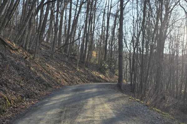
Long Arm
Long Arm is a varied trail that transitions from an easy gravel road into a more challenging off-road experience, making it important to understand the entry direction before starting. When entering from Buzzard Roost Road, the trail begins as a well-graded gravel drive that feels consistent with a ...
Learn more about Long Arm
Sutton
Sutton is a short out-and-back dirt route that offers a mostly easy drive with a brief change in terrain character. The trail begins as a graded path with a smooth, manageable surface before transitioning after a hairpin turn into a narrower, rocky two-track. In this section, rocks begin to protrude...
Learn more about Sutton
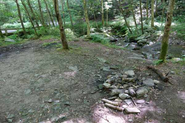
Buzzard Roost Road
While less exciting in terrain than the closely named Old Buzzard Roost Road, this route has some fantastic views and other exciting features. The road is mostly gravel, with a few sections holding water or small washouts. You can travel the Southern terminus up towards the ridgeline and trace along...
Learn more about Buzzard Roost Road
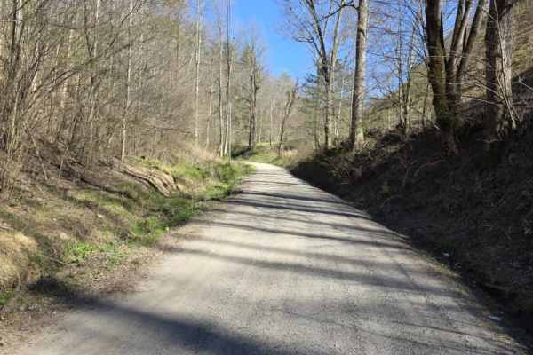
Mount Sterling Road
Mount Sterling Road is an easy gravel route that offers a straightforward drive with occasional exposure and light local traffic. The road is generally well-maintained with gentle grades, making it suitable for most drivers under normal conditions. While much of the route is wide enough for two vehi...
Learn more about Mount Sterling Road
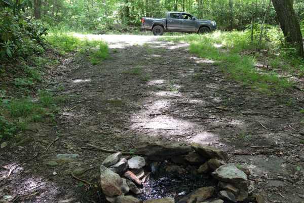
Brown Gap Road
Brown Gap Road is a scenic and mild unpaved route winding through the Appalachian Ranger District of Pisgah National Forest, perfect for scenic drivers, four-wheel-drive beginners, and overland campers looking to explore the North Carolina and Tennessee borderlands. Spanning approximately 7 miles, t...
Learn more about Brown Gap Road
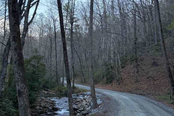
Avery Creek - FS 477
Avery Creek is a well-maintained gravel road that winds through Pisgah National Forest. This is a single-track road with room to pass most of the way through. There are lots of great creekside campsites toward the beginning of the south entrance. Dispersed camping in designated sites only. Once you...
Learn more about Avery Creek - FS 477
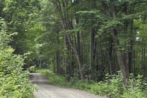
Chestnut Ridge Road
Chestnut Ridge is a long gravel route that runs through portions of Martha Sundquist State Forest and Cherokee National Forest, connecting Brown Gap Road with Gulf Road. The road varies from a wide single lane to a narrow two-lane surface, with plenty of pull-off opportunities available for passing ...
Learn more about Chestnut Ridge Road
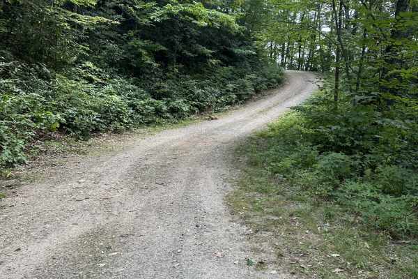
Cold Spring Gap Road
Cold Spring Gap Road - CR 4663 is a well-maintained two-way gravel road on the northeast end and not quite as smooth on the southwest entrance, which is labeled Wolf Mountain Road - CR 4663C. There are some camping spots along this road and a few creeks. CR 4663B Dills Falls Road can be accessed alo...
Learn more about Cold Spring Gap Road
Beginner ATV trails near Canton, North Carolina
Explore ATV-friendly trails near you. These trails are accessible for vehicles up to 50 inches wide, perfect for ATVs and smaller off-road machines.
Wash Creek FR 5000
This is an easy road that does not require 4x4. The road is not maintained when it has snowed. You gain 945 feet of elevation, but it is very gradual. There are several places along the road with stunning views, but you would have to go in the winter to get the best views. There are several designat...
Learn more about Wash Creek FR 5000
Cove Creek Road
Cove Creek Road is a short gravel route that offers a quick but scenic connection in the area, often used as an access point toward the Cataloochee Turnpike. The road surface is primarily gravel and generally well maintained, though it narrows to a single lane with several designated pull-offs for p...
Learn more about Cove Creek Road
Cataloochee Creek Road
Cataloochee Creek Road is an easy gravel drive that provides access to one of the more historically rich areas in the region. The road is generally well-maintained and typically wide enough for two vehicles, making it a straightforward route suitable for most drivers. Gentle grades and a series of m...
Learn more about Cataloochee Creek Road
Sutton
Sutton is a short out-and-back dirt route that offers a mostly easy drive with a brief change in terrain character. The trail begins as a graded path with a smooth, manageable surface before transitioning after a hairpin turn into a narrower, rocky two-track. In this section, rocks begin to protrude...
Learn more about Sutton
Beginner UTV/side-by-side trails near Canton, North Carolina
Find UTV and side-by-side trails near you. These trails accommodate vehicles up to 60 inches wide, ideal for UTVs, side-by-sides, and wider off-road rigs.
Wash Creek FR 5000
This is an easy road that does not require 4x4. The road is not maintained when it has snowed. You gain 945 feet of elevation, but it is very gradual. There are several places along the road with stunning views, but you would have to go in the winter to get the best views. There are several designat...
Learn more about Wash Creek FR 5000
Cove Creek Road
Cove Creek Road is a short gravel route that offers a quick but scenic connection in the area, often used as an access point toward the Cataloochee Turnpike. The road surface is primarily gravel and generally well maintained, though it narrows to a single lane with several designated pull-offs for p...
Learn more about Cove Creek Road
Cataloochee Creek Road
Cataloochee Creek Road is an easy gravel drive that provides access to one of the more historically rich areas in the region. The road is generally well-maintained and typically wide enough for two vehicles, making it a straightforward route suitable for most drivers. Gentle grades and a series of m...
Learn more about Cataloochee Creek Road
Sutton
Sutton is a short out-and-back dirt route that offers a mostly easy drive with a brief change in terrain character. The trail begins as a graded path with a smooth, manageable surface before transitioning after a hairpin turn into a narrower, rocky two-track. In this section, rocks begin to protrude...
Learn more about Sutton
The onX Offroad Difference
onX Offroad combines trail photos, descriptions, difficulty ratings, width restrictions, seasonality, and more in a user-friendly interface. Available on all devices, with offline access and full compatibility with CarPlay and Android Auto. Discover what you're missing today!
Open Trail Map