Brown Gap Road

Total Miles7
Technical Rating
2Easy
Best TimeFall, Summer
Trail TypeFull-Width Road
Accessible By
Open Trail Map

Trail Overview

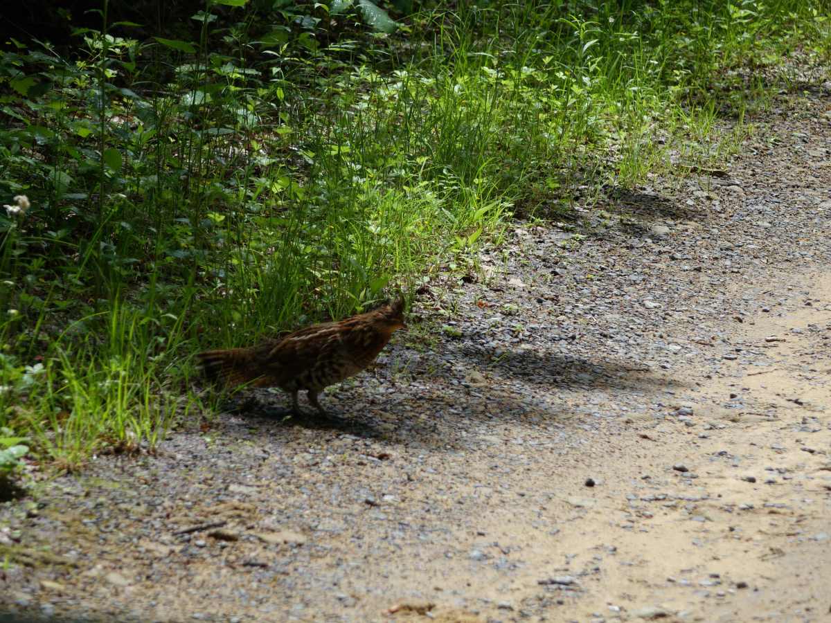
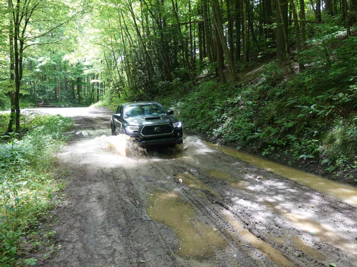
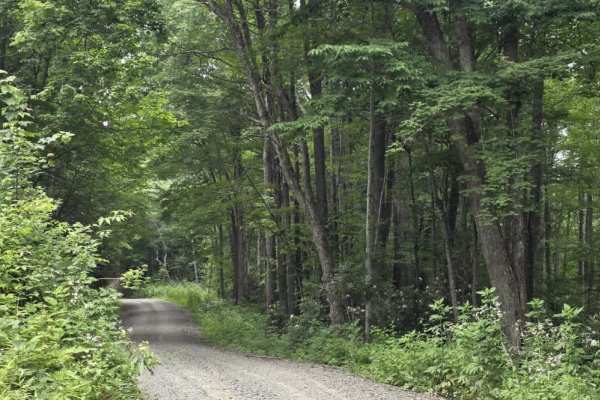
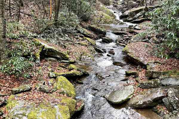
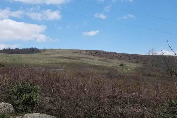
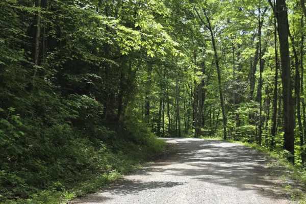
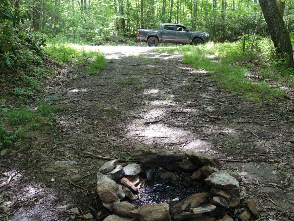
Brown Gap Road is a scenic and mild unpaved route winding through the Appalachian Ranger District of Pisgah National Forest, perfect for scenic drivers, four-wheel-drive beginners, and overland campers looking to explore the North Carolina and Tennessee borderlands. Spanning approximately 7 miles, this trail connects the high-elevation slopes near Max Patch Mountain down to Brown Gap at 3,497 feet and onward toward Locust Thorn Ridge, dropping from a maximum elevation of 4,256 feet down to 2,910 feet. The trail primarily features a stable gravel and dirt surface, but it can quickly develop slick mud holes, ruts, and minor washouts during heavy Appalachian rains, requiring a high-clearance four-wheel-drive vehicle or capable SxSs to navigate safely when wet. Along the way, travelers will encounter several dispersed campsites nestled in the dense forest canopy, with some creekside spots that can rise rapidly during sudden downpours due to the steep surrounding terrain. The area is a haven for local wildlife, making it highly common to spot black bears and ruffed grouse throughout the Harmon Den Wildlife Management Area. Because cellular service is entirely nonexistent throughout this deep mountain valley, downloading offline maps prior to departure is essential for safety. The trail serves as an excellent gateway for longer offroad adventures, easily linking with other regional forest service roads or serving as a peaceful approach to the popular Appalachian Trail crossing at Max Patch.

Photos of Brown Gap Road

Difficulty

Unless you traveled this route after a lot of rain you shouldn't have any issues in the few rutted and muddy sections.

Technical Rating

2

Status Reports

Add Status Report
Mike S
Aug 24, 2025
Open
Normal
A few mud holes, road was clear of any trees. 2WD with some clearance could make it when dry.
Lori Armstrong
Aug 03, 2025
2018 Jeep Wrangler
Open
Muddy/WetWashboard
Rocky with washouts and mud holes. Fallen trees along roadway.
James M
Jul 30, 2025
Open
NormalMuddy/Wet
Couple small mud pits you could prob do in 2wd
Donnie Smith
Jul 26, 2025
Open
Muddy/WetNormal
Gautam Shirsekar
May 18, 2025
2019 Toyota 4Runner
Open
Cody Hoenie
Sep 06, 2024
Open
Muddy/Wet
Gate at western end of trail is closed that connects to Gulf Road. 3-4 campsites on trail with plenty of tree cover. Some small fallen trees on trail so bring a saw if you think you need it.
Justin Wood
Aug 10, 2024
Open
NormalMuddy/Wet
Road was clear encountered a handful of mud holes. Easily avoided on a motorcycle.
Josh P
Jun 22, 2024
Open
DustyMuddy/Wet
Gautam Shirsekar
May 21, 2024
2019 Toyota 4Runner
Open
Greg Robinson
Jan 21, 2024
2022 Toyota Tacoma
Open
Very easy with about 4 inches of snow.
Keith Burris
Sep 28, 2023
Open
Muddy/Wet
Michael D
Jun 26, 2023
Open
Muddy/WetRough/Deteriorated
D C
Jun 20, 2023
Open
Rough/Deteriorated

Brown Gap Road Trail can be accessed by the following ride types:

  • Single Track
  • 50 Inch
  • 60 Inch
  • High Clearance
  • Full Width

Brown Gap Road Map

The onX Offroad Difference

onX Offroad combines trail photos, descriptions, difficulty ratings, width restrictions, seasonality, and more in a user-friendly interface. Available on all devices, with offline access and full compatibility with CarPlay and Android Auto. Discover what you're missing today!

Open Trail Map