Max Patch Road

Total Miles 8.7
Technical Rating
1 Easy
Best Time Fall
Trail Type Full-Width Road
Accessible By
Open Trail Map

Trail Overview

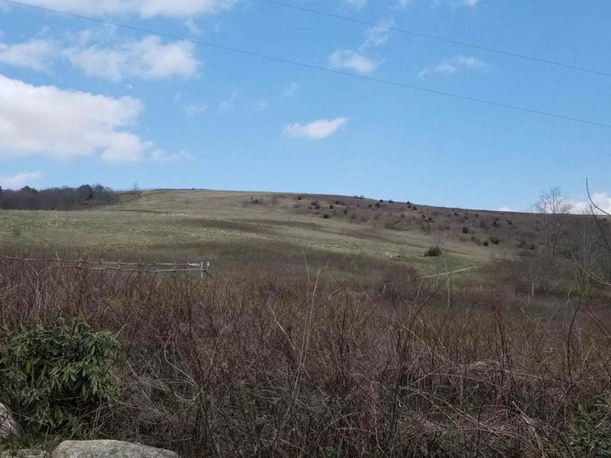
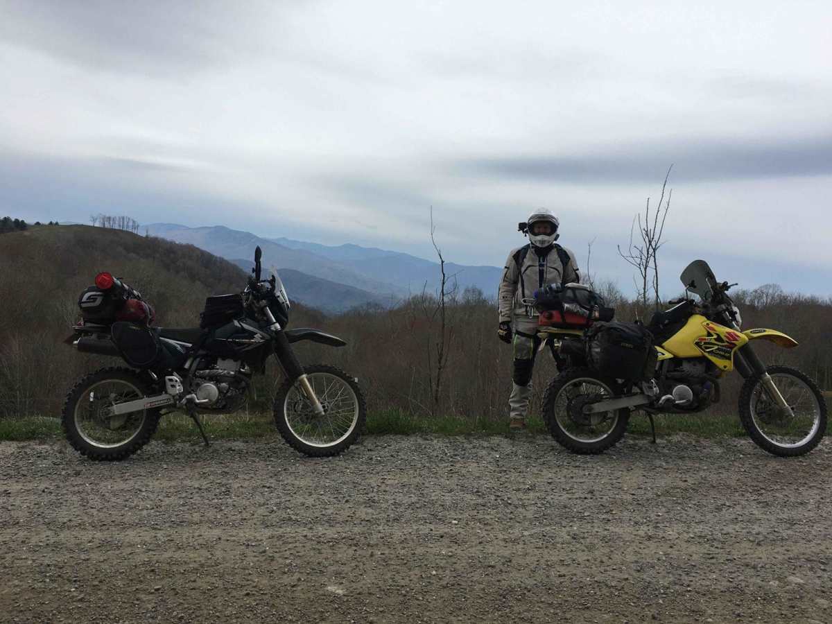
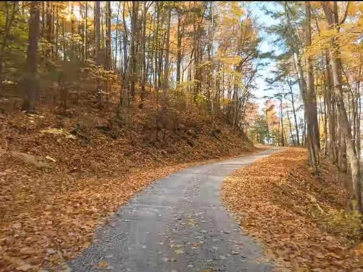
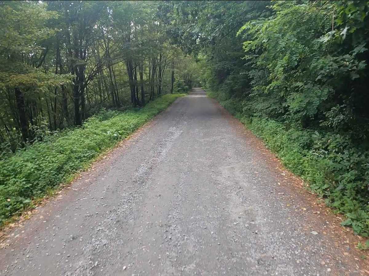
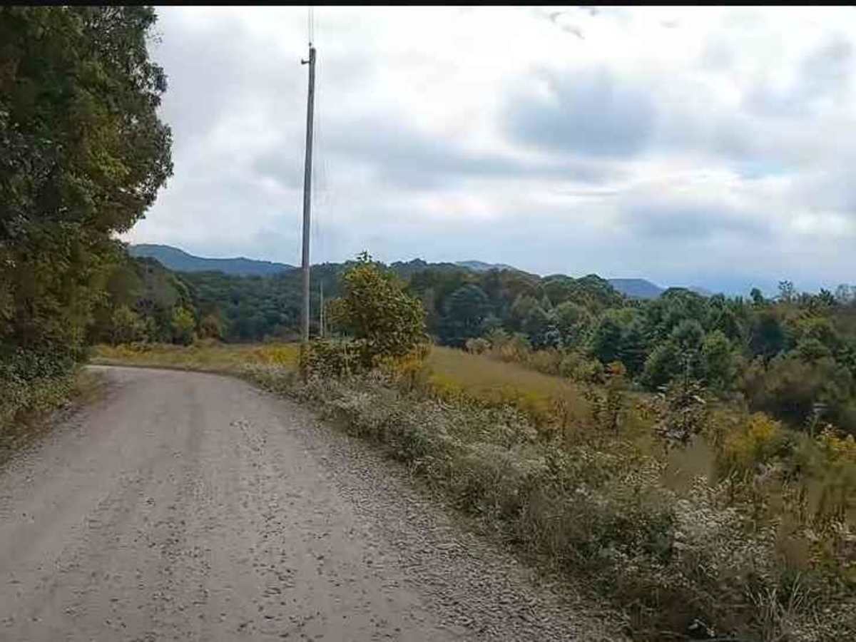
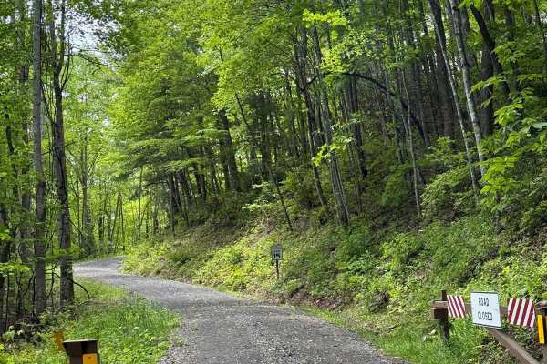
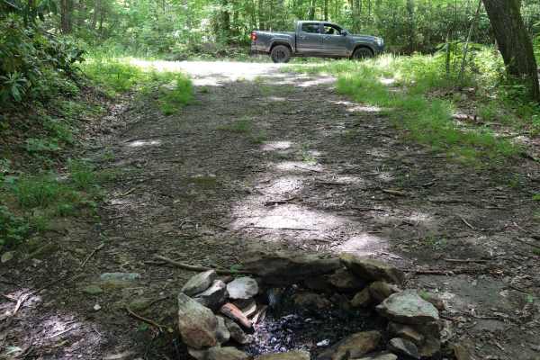
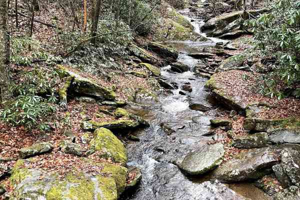
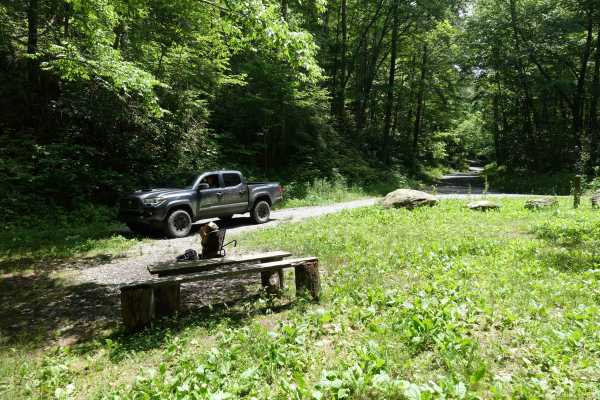
This is an 8.7-mile gravel forest service road that can be entered from the south via the Fines Creek area, just east of Interstate 40 in Clyde, North Carolina. Traveling north, the road becomes gravel and leads to a variety of scenic destinations such as Hurricane Creek, Max Patch, Round Mountain, Brown Gap Road, the Martha Sundquist State Forest, the Appalachian Trail, and numerous streams and rivers. Elevations vary between 3,500 feet and 4,329 feet near the summit of Max Patch Mountain. The road is generally well-groomed and easily traversed by adventure motorcycles, SUVs, trucks, and plated vehicles. The road is steep in sections and can be challenging in bad weather with washboards, ruts, and holes. Cell service is very limited. A few campsites are scattered along the road as well.

Photos of Max Patch Road

Difficulty

The road is generally well-groomed and easily traversed by adventure motorcycles, dual sports, SUVs, trucks, and plated vehicles. The road is steep in sections and can be challenging in bad weather with washboards, ruts, and holes.

History

Max Patch is a bald mountain with 360-degree views on the North Carolina-Tennessee Border in Madison County, North Carolina, and Cocke County, Tennessee. It is a major landmark along the Tennessee/North Carolina section of the Appalachian Trail.

Technical Rating

1

Status Reports

Add Status Report
Mark Henry
Jun 20, 2026
Open
Bryan Hunter
Jun 03, 2026
Open
Road was in great shape and crews were grading at hurricane creek gate. Smooth and pretty drive.
Chris Johnson
Apr 14, 2026
Open
Owen Visser
Jan 16, 2026
Open
Do not attempt without 4x4 and good tires right now. I helped multiple people get moving again. The trail was very icy, it really showed the importance of good tires.
Tyler Zacher
Jan 05, 2026
Open
Darren DeArmond
Jan 01, 2026
Open
Come up from the I40 side. Some traffic on the holiday. Can be traversed by any type vehicle.
Rob Ervin
Nov 01, 2025
Open
Max Patch was super busy - even saw a Class A motorhome parked on the side of the road!
Tom Adamski
Jul 19, 2025
Open
Clear beautiful day. A handful of deep ruts and a minor washout or two, but mostly in great condition. Part of a large group of Jeeps going through today. Highly recommend, worth the drive.
Taylor Sweetman
Apr 26, 2025
Open
Tom Hopson
Mar 15, 2025
Open
Trail was really dusty due to high winds. Potential for downed trees. Some small washout areas. Few rutted areas.
Keith Burris
Oct 26, 2024
Open

Max Patch Road Trail can be accessed by the following ride types:

  • Single Track
  • High Clearance
  • Full Width

Max Patch Road Map

The onX Offroad Difference

onX Offroad combines trail photos, descriptions, difficulty ratings, width restrictions, seasonality, and more in a user-friendly interface. Available on all devices, with offline access and full compatibility with CarPlay and Android Auto. Discover what you're missing today!

Open Trail Map