Creek Side Scenic Drive

Total Miles 6.5
Technical Rating
2 Easy
Best Time Spring, Summer, Fall, Winter
Trail Type Full-Width Road
Accessible By
Open Trail Map

Trail Overview

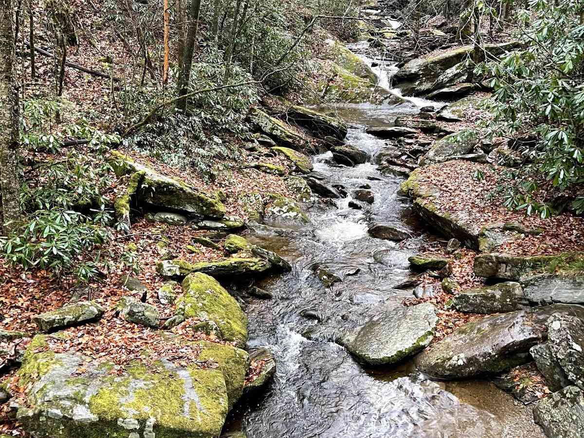
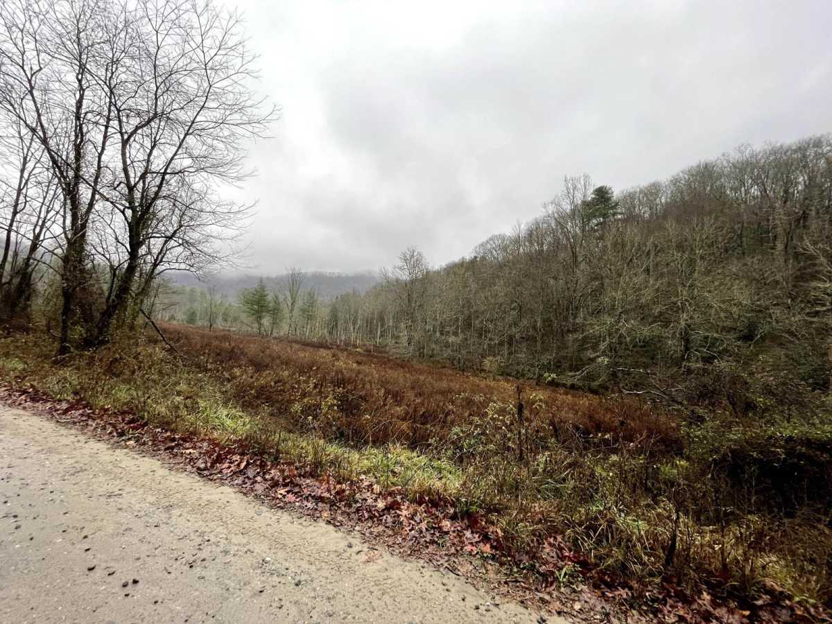
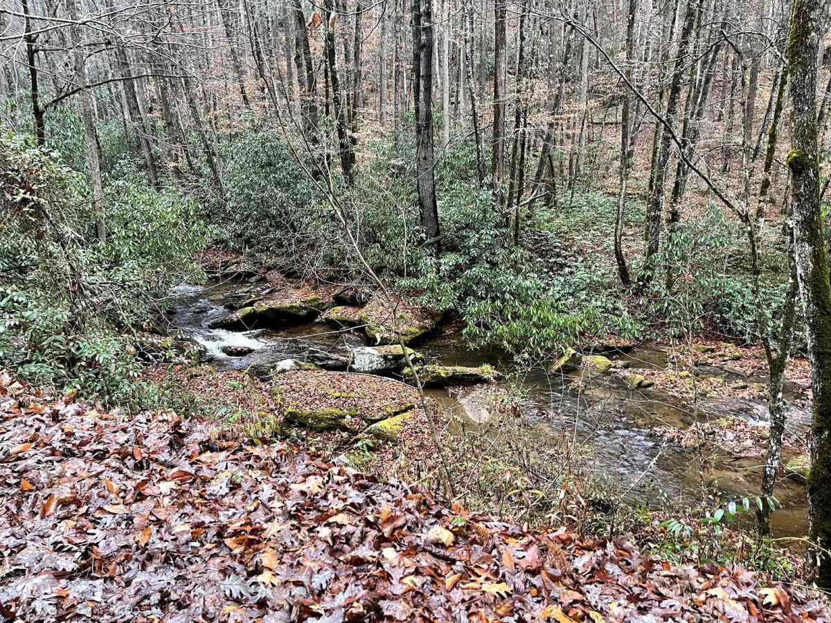
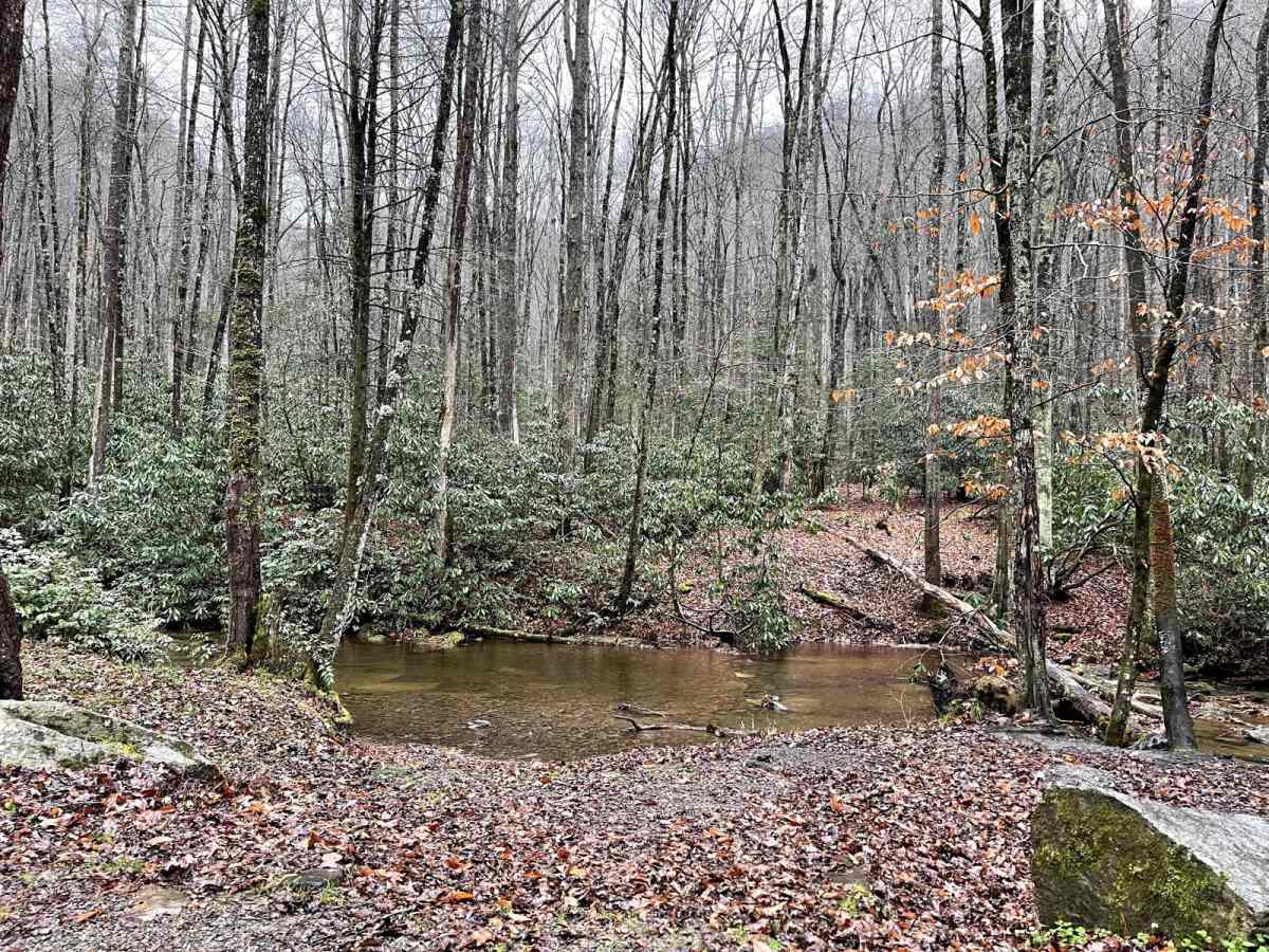
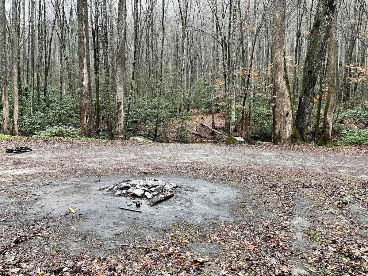
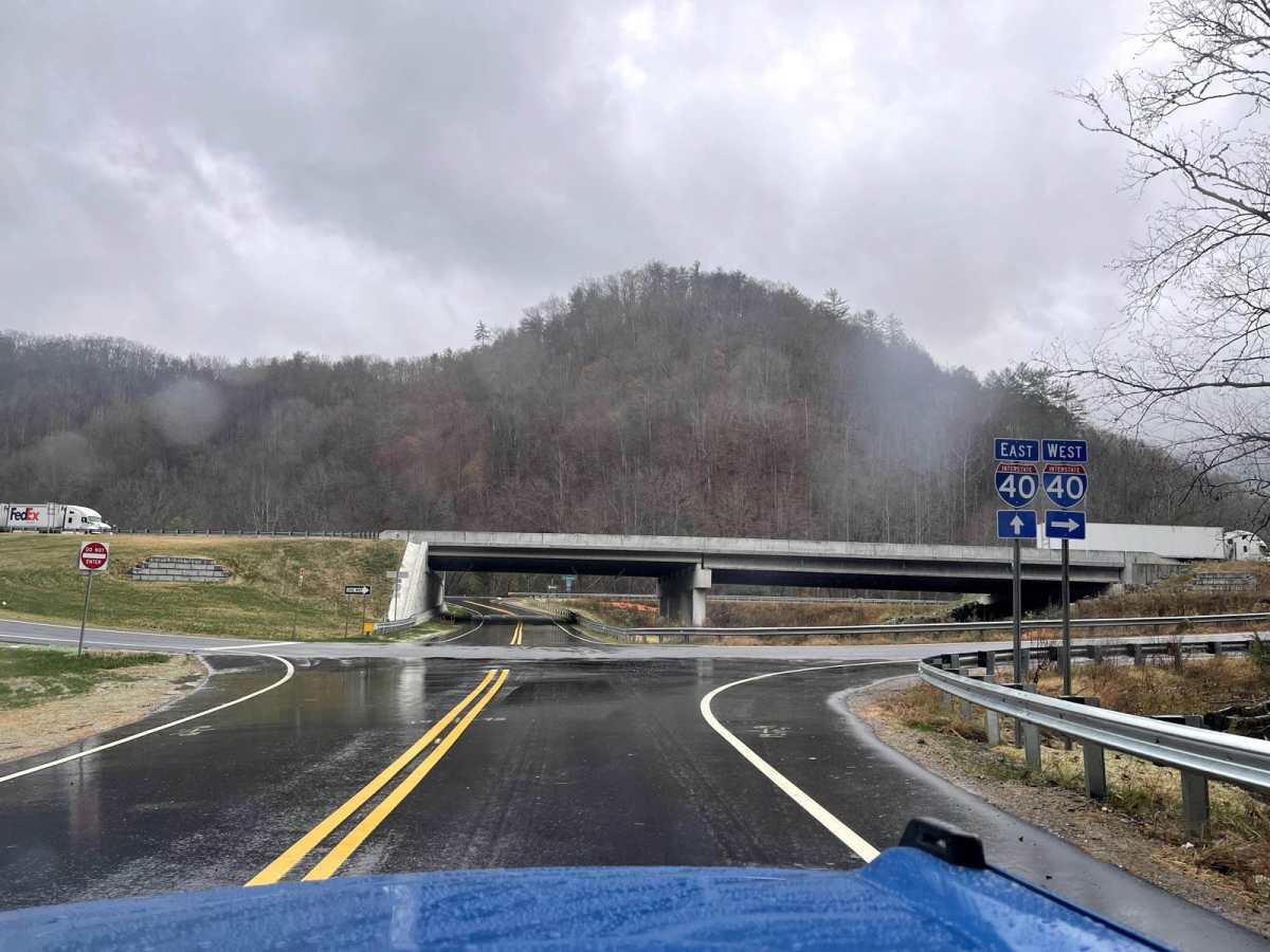
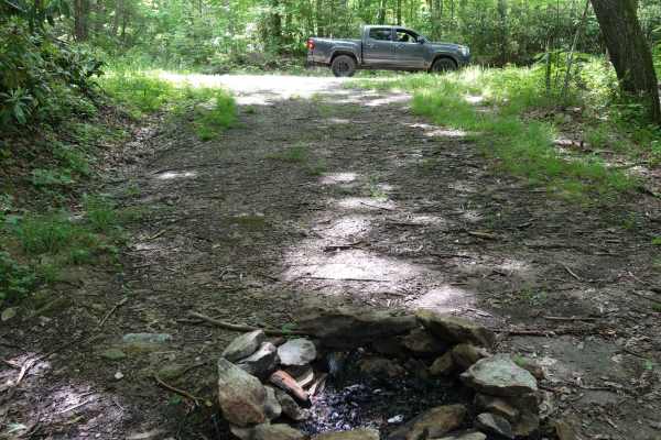
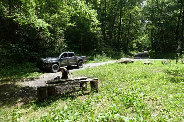
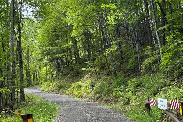
This beautiful "Creek-Side Dirt trail is a must if you like driving on forest roads and you like the view/sound of the roaring creeks. If you ever plan to go to Max Patch (360 views of the surrounding mountains in North Carolina & Tennessee), this trail is very easy to jump on when leaving. As you leave Max Patch heading southbound on Max Patch Road, about five minutes down you will need to turn left on Cold Springs Creek Road. This will take you directly to I-40 which is 6.7 miles down. This trail is all dirt and is a shared one-way. This portion is very safe. There are numerous dispersed camping opportunities and places to pull over and view the beautiful mini-falls from the creeks. Great place to have a picnic and enjoy the secluded feeling of having the forest all to yourself. If you like to be in nature, this trail is a must! Very few cars and the only noises you hear are coming from the nearby water that runs almost the whole length of the drive. This ride can be driven any time of the year and ends at the entrance of Harmon Den- Pisgah National Forest.

Photos of Creek Side Scenic Drive

Difficulty

Even though this is a very easy dirt road that most vehicles can do, it is still a one way and should be taken with cation. The drive offers great ridge riding and views of the mountains as well. There are many twists and turns that are easy to maneuver at slow speeds.

Technical Rating

2

Status Reports

Add Status Report
Chris Johnson
Mar 03, 2026
Open
Ty
Feb 08, 2026
Open
Trail is pretty good up until the very top. The last handful of turns are completely iced over with solid ice. Unless you have chains I wouldn't recommend trying it.
Owen Visser
Jan 16, 2026
Open
8 vehicles stuck on ice, helped as much as I could till the wrecker arrived. Helped get multiple vehicles get off the trail. Wish I could've done more.
Darren DeArmond
Jan 01, 2026
Open
Normal conditions. Route can be done with most any vehicle. Some traffic headed up to Max Patch on the holiday.
andrew seabough
Dec 28, 2025
Open
Trail was wide open and quiet, nice little drive, no need for 4x4 and I hate to say it, a Camry would have found it easy the afternoon we went down it. You cannot get to it coming from Tennessee on I-40, it’s a bit of a mess still. I would suggest going down to exit 15 and taking max patch rd up to the top of max patch. On the way back down the entrance to the creek road will be on the right after the road forks by a big tree that is split in half.
adventures byPrius
Sep 29, 2025
Open
Road is in great shape but there is a lot of construction vehicles moving up and down the road. They parked at Harmon den. Not really sure what they are working on but fingers crossed you don’t get stuck behind them. Camping on the road is permitted in designated spots but the construction vehicles start very early in the morning
Derek Sullivan
Sep 06, 2025
Open
Easy trip up the mountain. It was rainy and a little slippery but most vehicles should make it. I stayed over night and camped as there a few spots on this road. There were some people going to the top to hike at Max patch but overall was quiet
Lori Armstrong
Aug 07, 2025
Open
Open. But beware of road crews. No signage warning of work on this road. Numerous dump trucks in the area and they are moving quickly and taking the whole roadway.
Taylor Sweetman
Apr 26, 2025
Open
Danny Weber
Apr 04, 2025
Open
Directions are wrong. If you’re coming down (southward) from Mac Patch you will need to turn right onto Cold Springs, not left. It’s been months since I rode here so I don’t have any current info but I will say it’s a very nice scenic drive.
Ernesto Flores
Dec 25, 2024
Open
I40 is closed coming from newsport and pigeon forge. I had to go back and start at a difrent entrance... gulf road
Marc Licata
Sep 15, 2024
Open
Gautam Shirsekar
Jun 16, 2024
Open
Russell S
Jun 11, 2024
Open
Tanner Purser
Jun 07, 2024
Open

Creek Side Scenic Drive Trail can be accessed by the following ride types:

  • High Clearance
  • Full Width

Creek Side Scenic Drive Map

The onX Offroad Difference

onX Offroad combines trail photos, descriptions, difficulty ratings, width restrictions, seasonality, and more in a user-friendly interface. Available on all devices, with offline access and full compatibility with CarPlay and Android Auto. Discover what you're missing today!

Open Trail Map